
Wildlife reserves · South West England
Ham Wall
In or near Ashcott.
Ham Wall — Ham Wall, RSPB nature reserve, Somerset, England.

Wikimedia Commons contributors — see linked file page for photographer and licence licence

Plan your visit
- Typical visit
- 2 h–4 h
- Best time of year
- Autumn & winter (migration & wildfowl)
- Free entry
- Dog-friendly
- Wheelchair accessible
Getting there & planning your visit
Ham Wall is located in Somerset, with the postcode BA16 9SQ. Entry is free, and it is managed by the Royal Society for the Protection of Birds.
About
Ham Wall is a wildlife reserve in the United Kingdom. It covers approximately 265 km². Managed by Royal Society for the Protection of Birds. Part of Brue Valley Living Landscape. Wikidata describes it as: "Ham Wall, RSPB nature reserve, Somerset, England". Coordinates: 51.1550°, -2.7750°.
Photo gallery
About this reserve
Step into this paradise for wetland birds and discover booming Bitterns and brightly-coloured Kingfishers. ? ? Ham Wall is a wetland teeming with wildlife – from rare species like Water Voles and Otters to ‘booming’ Bitterns and colourful Kingfishers. Enjoy sweeping views across the marshes to Glastonbury Tor and make some time to follow secluded paths through the mystical landscape. This Somerset reserve is a true gem where extensive reedbeds give way to open water, creating a paradise for wetland birds, mammals and minibeasts. Elsewhere woodlands and grasslands brim with life and are home to a wide range of wildlife stars. Ham Wall nature reserve is carefully looked after to create the ideal conditions for wildlife. Reedbeds are cut and plantlife is removed on rotation to maintain a variety of habitats. The cuttings are then turned into soil conditioner which is used on nearby gardens and allotments. Water levels are also managed for wildlife such as wading birds, while cattle graze the reedbeds and grasslands in the summer months. Our car park is open daily in line with the below times and it is closed and locked outside of these using an automatically-operated gate. The car park has 120 spaces of which 5 are Blue Badge spaces. 2 additional Blue Badge spaces are available within the reserve, close to viewing platforms and viewing facilities. These are accessed with a RADAR key. RADAR keys can be borrowed from the Info Point. No overnight parking or camping is permitted. There is no height restriction barrier. Please be respectful of other visitor access, our team and…
From the RSPB, reproduced under fair-use summary for visitor information.
Summary from the official site
Ham Wall is a nature reserve in Somerset known for its diverse wildlife, including rare species like Water Voles and Bitterns. Visitors can explore various trails through reedbeds, woodlands, and grasslands, offering opportunities for birdwatching and enjoying the natural landscape.
Read more on the official property page.
Protected designations
- National Nature Reserve: SOMERSET WETLANDS
Designations sourced from Natural England open data under OGL v3.
From the Wikipedia article
Ham Wall is an English wetland National Nature Reserve (NNR) 4 kilometres (2.5 mi) west of Glastonbury on the Somerset Levels. It is managed by the Royal Society for the Protection of Birds (RSPB). Since the last Ice Age, decomposing plants in the marshes of the Brue valley in Somerset have accumulated as deep layers of peat that were commercially exploited on a large scale in the twentieth century. Consumer demand eventually declined, and in 1994 the landowners, Fisons, gave their old workings to what is now Natural England, who passed the management of the 260 hectares (640 acres) Ham Wall section to the RSPB. The Ham Wall reserve was constructed originally to provide reed bed habitat for the Eurasian bittern, which at the time was at a very low population level in the UK. The site is divided into several sections with independently controllable water levels, and machinery and cattle are used to maintain the quality of the reed beds. There are important breeding populations of wetland birds including the rare little bittern and great white egret, and the area hosts several other uncommon animals and plants. The RSPB works with other organisations as part of the Avalon Marshes Partnership to coordinate conservation issues across the Somerset Levels. The reserve is open year-round, and has nature trails, hides and viewing points. It lies within the Somerset Levels NNR and the Somerset Levels and Moors' Ramsar and Special Area of Conservation site. Potential future threats may result from increasing unpredictability in the UK climate, leading to heavy summer rains and extensive flooding. Sea level rise will make the drainage of the Levels more difficult, and current water pumping facilities may become inadequate.
Excerpt from Wikipedia under CC BY-SA 4.0. See the source article linked in Sources below.
Background
History
The Somerset Levels have been occupied since the Neolithic period, around 6,000 years ago, when people exploited the reed swamps for resources and started to construct wooden trackways such as the Sweet and Post Tracks, and they were the site of salt extraction during the Romano-British period. Much of the landscape was owned by the church in the Middle Ages when substantial areas were drained and the rivers diverted, but the raised bogs remained largely intact. Only the Inclosure Acts of the 18th century, mostly between 1774 and 1797, led to significant draining of the peat bogs, although the River Brue still regularly flooded the reclaimed land in winter. Following the Somerset Drainage…
Visiting
The reserve is about 4 km west of Glastonbury and can be accessed by car from the minor road that runs between the villages of Meare on the B3151 and Ashcott on the A39. Route 3 of the Sustrans National Cycle Network runs near the reserve. The nearest bus access is in Ashcott, 4 km away, and the railway station in Bridgwater is 15 km distant. The reserve is open and free to enter at all times, although its car park has a charge for non-members of the RSPB and closes at night. There are toilets and a small visitor centre which sells light snacks and is usually open only at weekends. The main access to the reserve on leaving the car park is the Ham Wall loop; this follows the north bank of…
Sourced from Wikipedia under CC BY-SA 4.0.
- Coordinates
- 51.1550, -2.7750
- District
- Somerset
- Parish
- Sharpham
- Postcode
- BA16 9SQ
- Parliamentary constituency
- Wells and Mendip Hills
- Phone
- 01458 860494
- Established
- 1994
- Opening
- Daily 5am–10pm; closed 24–26 Dec
- Official site
- www.rspb.org.uk
Sources
- wikidata: Q5643888 (CC0)
- wikipedia: Ham Wall (CC BY-SA 4.0)
- commons: Ham Wall reedbeds.jpg (CC BY-SA 4.0)
Featured in these 2 guides
Other places nearby

RSPB Ham Wall
Forests & woodlands · 0.2 km

Viewing Platform 2
Viewpoints · 0.3 km

Viewing Platform 1
Viewpoints · 0.4 km

Alan Whitehouse
Memorials & monuments · 0.7 km

The Abbot's Fish House
Gardens · 1.9 km
Meare Fish House
Historic houses · 1.9 km
RSPB Ham Wall
Forests & woodlands · 1.9 km
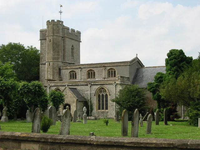
Church of St Mary, Meare
Historic churches · 1.9 km

Meare
Villages · 2.0 km

Meare Lake Villages
Hill forts · 2.7 km

Lake Village (site)
Archaeological sites · 2.8 km

River Sheppey
Museums · 3.0 km
Nearby
📷 3Forests & woodlands · South West England
RSPB Ham Wall
RSPB Ham Wall is a forest or woodland in the United Kingdom.
📷 3Viewpoints · South West England
Viewing Platform 2
Viewing Platform 2 is a viewpoint in the United Kingdom.
📷 3Viewpoints · South West England
Viewing Platform 1
Viewing Platform 1 is a viewpoint in the United Kingdom.
📷 3Memorials & monuments · South West England
Alan Whitehouse
Alan Whitehouse — a memorial in england-south-west, United Kingdom.
📷 4Gardens · South West England
The Abbot's Fish House
The Abbot's Fish House — a garden in england-south-west, United Kingdom.
📷 3Historic houses · South West England
Meare Fish House
Meare Fish House — a other in england-south-west, United Kingdom.
Where to eat & stay near Ham Wall
Places to stay
 📷 5
📷 5Caravan parks · South West England
Isle Of Avalon Touring Caravan Park
Isle Of Avalon Touring Caravan Park — a caravan park in england south west.
 📷 5
📷 5 📷 5
📷 5Hostels · South West England
YHA Hostel Street
YHA Hostel Street — a hostel in england south west.
 📷 5
📷 5Campsites · South West England
Holiday Cottage Glastonbury
Holiday Cottage Glastonbury — a campsite in england south west.
 📷 5
📷 5Campsites · South West England
Paddington Farm Trust
Paddington Farm Trust — a campsite in england south west.
 📷 5
📷 5Places to eat & drink
 📷 7
📷 7Historic pubs · South West England
The Pipers
The Pipers in England South West, United Kingdom.
 📷 7
📷 7Historic pubs · South West England
The George & Pilgrim's Hotel
The George & Pilgrim's Hotel in England South West, United Kingdom.
 📷 7
📷 7Historic pubs · South West England
Rifleman's Arms Public House
Rifleman's Arms Public House in England South West, United Kingdom.
 📷 7
📷 7Historic pubs · South West England
King William Inn
King William Inn in England South West, United Kingdom.
 📷 5
📷 5 📷 5
📷 5Restaurants · South West England
Bekynton Brasserie
Bekynton Brasserie — a restaurant in england south west.
More places run by Royal Society for the Protection of Birds
 📷 5
📷 5Hill forts · South East England
Shornemead Fort
Shornemead Fort — fort in Shorne, Kent, England, UK.
 📷 5
📷 5Wildlife reserves · South East England
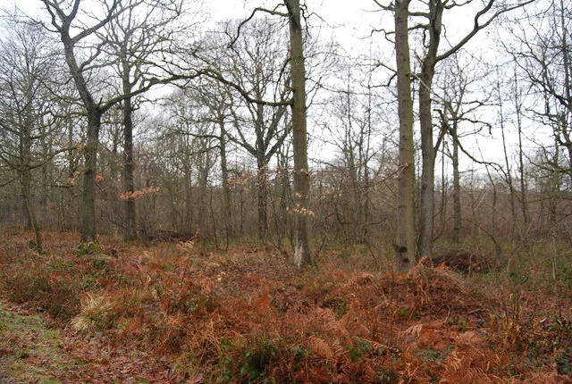
Amberley Wild Brooks
Amberley Wild Brooks — nature reserve in the United Kingdom.
 📷 5
📷 5Wildlife reserves · South East England
Blean Woods RSPB Reserve
Blean Woods RSPB Reserve — RSPB nature reserve in the United Kingdom.
 📷 5
📷 5Wildlife reserves · South East England
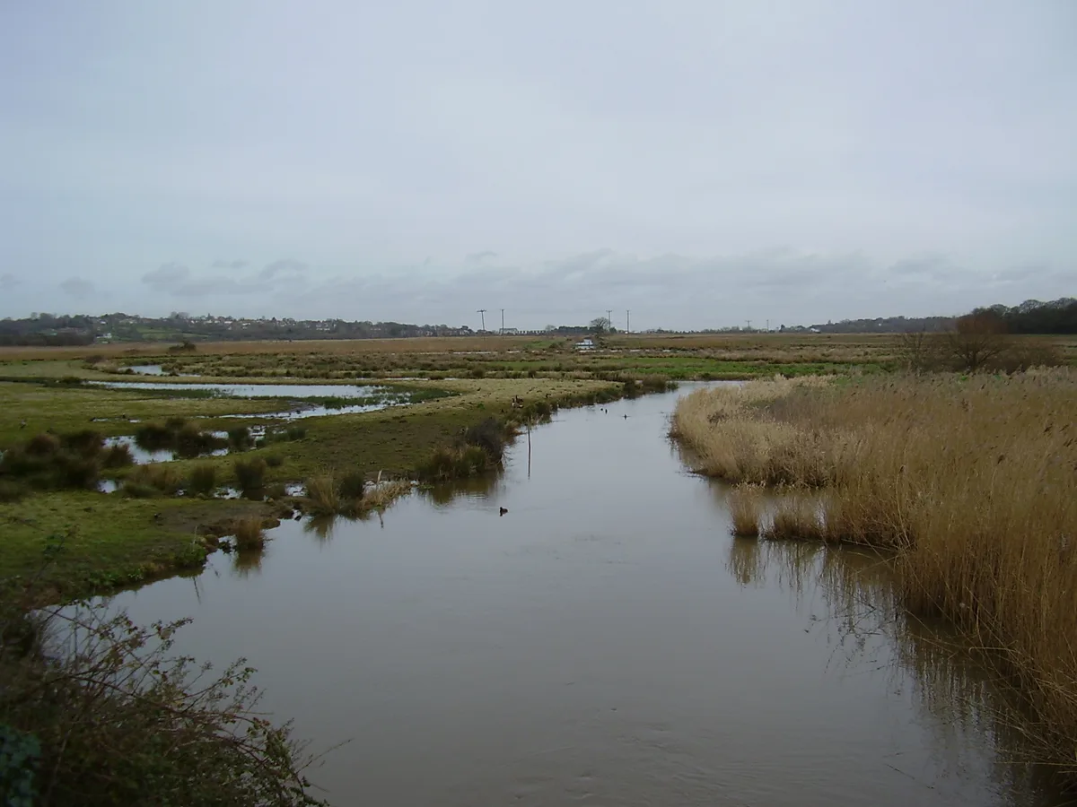
Brading Marshes RSPB reserve
Brading Marshes RSPB reserve — RSPB nature reserve on the Isle of Wight.
More places in this region
 Flagship📷 10
Wildlife reserves · South West England
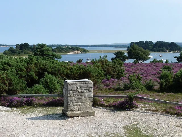
Arne RSPB reserve
Arne RSPB reserve — RSPB nature reserve in the United Kingdom.
 📷 5
📷 5Wildlife reserves · South West England
Bath and Bradford-on-Avon Bats SAC
Bath and Bradford-on-Avon Bats SAC — Special Area of Conservation in England, UK.
 📷 5
📷 5Wildlife reserves · South West England
Baverstock Juniper Bank
Baverstock Juniper Bank — Conservation site in Wiltshire, England.
 📷 5
📷 5Wildlife reserves · South West England
Girdlers Coppice
Girdlers Coppice — nature reserve in Dorset, UK.
Frequently asked questions
- Where is Ham Wall?
- Ham Wall is in South-West England, United Kingdom (postcode BA16 9SQ), in the parish of Sharpham.
- What is Ham Wall?
- Ham Wall — Ham Wall, RSPB nature reserve, Somerset, England.
- How do I get to Ham Wall?
- The nearest town is Ashcott. Drivers can use postcode BA16 9SQ.
- When was Ham Wall built?
- Built or established in 1994.
- Who runs Ham Wall?
- Ham Wall is operated by Royal Society for the Protection of Birds.
- Is Ham Wall a protected site?
- Yes — Ham Wall is part of the SOMERSET WETLANDS National Nature Reserve.
- Is Ham Wall free to visit?
- Yes, Ham Wall is free to enter.
- How do I get to Ham Wall?
- Drivers can navigate to postcode BA16 9SQ. It sits within the Wells and Mendip Hills parliamentary constituency.