
Natural landmarks · North East England
Halleypike Lough
In or near Stonehaugh.
Halleypike Lough — lake in the United Kingdom.

Wikimedia Commons licence
Plan your visit
- Typical visit
- 1 h–2 h
- Nearest railway station
- Haydon Bridge · 8.0 km
- Free entry
- Dog-friendly
About
Halleypike Lough is a named natural landmark in the United Kingdom. Wikidata describes it as: "lake in the United Kingdom". Coordinates: 55.0414°, -2.2970°.
Photo gallery
Protected designations
- Site of Special Scientific Interest: River Eden and Tributaries SSSI
Designations sourced from Natural England open data under OGL v3.
From the Wikipedia article
Halleypike Lough is an inland lake on Haughton Common at the southern edge of Northumberland National Park, northeast of Bardon Mill, and 1 mile (1.6 km) north of the B6318 Military Road in Northumberland, northern England. The lake is of Victorian origin and is fished.
Excerpt from Wikipedia under CC BY-SA 4.0. See the source article linked in Sources below.
- Coordinates
- 55.0414, -2.2970
- District
- Northumberland
- Parish
- Simonburn
- Postcode
- NE47 6NR
- Parliamentary constituency
- Hexham
- Nearest railway station
- Haydon Bridge — 8 km
Sources
- wikidata: Q7358301 (CC0)
- wikipedia: Halleypike Lough (CC BY-SA 4.0)
Other places nearby

Sewingshields Castle
Literary houses · 1.4 km

Turret 34A (Grindon West)
Archaeological sites · 1.5 km

Milecastle 34
Farms (open to visitors) · 1.5 km
Milecastle 34 (Grindon)
Archaeological sites · 1.5 km

Turret 33B (Coesike)
Archaeological sites · 1.7 km

Turret 33B (Coesike)
Archaeological sites · 1.7 km

Milecastle 35
Archaeological sites · 1.8 km
Milecastle 35 (Sewingshields)
Archaeological sites · 1.8 km
Coeksike East temporary camp
Archaeological sites · 1.9 km

Coeksike East temporary camp
Archaeological sites · 1.9 km
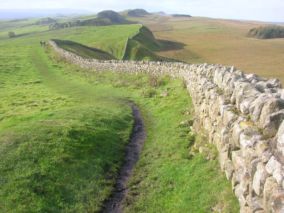
Hadrian's Wall
Archaeological sites · 1.9 km
Old Repeater Station
B&Bs · 1.9 km
Nearby
📷 5Literary houses · North East England
Sewingshields Castle
Sewingshields Castle — a literary house museum in scotland lowlands.
📷 3Archaeological sites · North East England
Turret 34A (Grindon West)
Turret 34A (Grindon West) — a archaeological in scotland-lowlands, United Kingdom.
📷 4Farms (open to visitors) · North East England
Milecastle 34
Milecastle 34 in England North East, United Kingdom.
📷 3Archaeological sites · North East England
Milecastle 34 (Grindon)
Milecastle 34 (Grindon) — a archaeological in scotland-lowlands, United Kingdom.
📷 3Archaeological sites · North East England
Turret 33B (Coesike)
Turret 33B (Coesike) — a archaeological in scotland-lowlands, United Kingdom.
📷 5Archaeological sites · North East England
Turret 33B (Coesike)
Turret 33B (Coesike) — archaeological in scotland lowlands.
Where to eat & stay near Halleypike Lough
Places to stay
📷 5B&Bs · North East England
Old Repeater Station
Old Repeater Station — a bed-and-breakfast in scotland lowlands.
 📷 5
📷 5Campsites · North East England
Stonehaugh Campsite
Stonehaugh Campsite — a campsite in scotland lowlands.
 📷 5
📷 5Hotels · North East England
Battlesteads Hotel & Restaurant
Battlesteads Hotel & Restaurant — a hotel in scotland lowlands.
 📷 5
📷 5Campsites · North East England
Greencarts Campsite
Greencarts Campsite — a campsite in scotland lowlands.
 📷 5
📷 5 📷 5
📷 5Campsites · North East England
Winshields Farm Campsite
Winshields Farm Campsite — a campsite in scotland lowlands.
Places to eat & drink
 📷 7
📷 7Historic pubs · North East England
Anchor Hotel
Anchor Hotel in Scotland Lowlands, United Kingdom.
 📷 5
📷 5 📷 5
📷 5 📷 6
📷 6 📷 7
📷 7 📷 7
📷 7Historic pubs · North East England
The Vicars Pele
The Vicars Pele in Scotland Lowlands, United Kingdom.
More natural landmarks in this region
 📷 4
📷 4Natural landmarks · North East England
Cleveland Way
109-mile horseshoe trail around the North York Moors and its sea cliffs.
 📷 3
📷 3Natural landmarks · North East England
The Hand Stone
The Hand Stone — a other in england-yorkshire, United Kingdom.
 📷 3
📷 3Natural landmarks · North East England
The Face Stone
The Face Stone — a other in england-yorkshire, United Kingdom.
 📷 3
📷 3Frequently asked questions
- Where is Halleypike Lough?
- Halleypike Lough is in the Scottish Lowlands, United Kingdom (postcode NE47 6NR), in the parish of Simonburn.
- What is Halleypike Lough?
- Halleypike Lough — lake in the United Kingdom.
- How do I get to Halleypike Lough?
- The nearest railway station is Haydon Bridge, about 8.0 km away. Drivers can use postcode NE47 6NR.
- Is Halleypike Lough a protected site?
- Yes — Halleypike Lough is part of the River Eden and Tributaries SSSI Site of Special Scientific Interest.
- Is Halleypike Lough free to visit?
- Yes, Halleypike Lough is free to enter.
- How do I get to Halleypike Lough?
- Drivers can navigate to postcode NE47 6NR. It sits within the Hexham parliamentary constituency.