
Historic churches · North Wales
Gwynedd
In or near Llanfachreth.
Gwynedd (Welsh: [ˈɡwɨnɛð]) is a county in the north-west of Wales. It borders Anglesey across the Menai Strait to the north, Conwy County Borough, Denbighshire, and Powys to the east, Ceredigion over

Nigel Judd — CC BY-SA 2.0 via Wikimedia Commons licence

Plan your visit
- Typical visit
- 30 min–1 h
- Free entry
About
Gwynedd (Welsh: [ˈɡwɨnɛð]) is a county in the north-west of Wales. It borders Anglesey across the Menai Strait to the north, Conwy County Borough, Denbighshire, and Powys to the east, Ceredigion over the Dyfi estuary to the south, and the Irish Sea to the west. The city of Bangor is the largest settlement, and the administrative centre is Caernarfon. The preserved county of Gwynedd, which is used for ceremonial purposes, includes the Isle of Anglesey. Gwynedd is the second largest county in Wales but sparsely populated, with an area of 979 square miles (2,540 km2) and an estimated population of 120,813 in 2024. Bangor and Caernarfon are both in the north of the county, on the Menai Strait. The county's south-west coast is part of Cardigan Bay, and the towns of Pwllheli, Porthmadog, Barmouth, and Tywyn lie on it. Inland towns include Bethesda in the north, Blaenau Ffestiniog in the centre, and Bala in the east. Gwynedd is a heartland of the Welsh language; at the 2021 census, 64.4 per cent of the population reported being able to speak it, the highest percentage of Welsh local authority. The geography of Gwynedd is mountainous, with a long coastline to the west. The county contains much of Snowdonia, or Eryri, which occupies most of the centre and south of the county and has been designated a national park. The northern part, shared with Conwy County Borough, contains all 15 mountains in Wales with a height of over 3,000 feet (910 metres). These include Snowdon, or Yr Wyddfa,
Photo gallery
From the Wikipedia article
Gwynedd (Welsh: [ˈɡwɨnɛð]) is a county in the north-west of Wales. It borders Anglesey across the Menai Strait to the north, Conwy County Borough, Denbighshire, and Powys to the east, Ceredigion over the Dyfi estuary to the south, and the Irish Sea to the west. The city of Bangor is the largest settlement, and the administrative centre is Caernarfon. The preserved county of Gwynedd, which is used for ceremonial purposes, includes the Isle of Anglesey. Gwynedd is the second largest county in Wales but sparsely populated, with an area of 979 square miles (2,540 km2) and an estimated population of 120,813 in 2024. Bangor and Caernarfon are both in the north of the county, on the Menai Strait. The county's south-west coast is part of Cardigan Bay, and the towns of Pwllheli, Porthmadog, Barmouth, and Tywyn lie on it. Inland towns include Bethesda in the north, Blaenau Ffestiniog in the centre, and Bala in the east. Gwynedd is a heartland of the Welsh language; at the 2021 census, 64.4 per cent of the population reported being able to speak it, the highest percentage of Welsh local authority. The geography of Gwynedd is mountainous, with a long coastline to the west. The county contains much of Snowdonia, or Eryri, which occupies most of the centre and south of the county and has been designated a national park. The northern part, shared with Conwy County Borough, contains all 15 mountains in Wales with a height of over 3,000 feet (910 metres). These include Snowdon, or Yr Wyddfa, which at 3,560 feet (1,090 m) is Wales' highest mountain. The mountains enclose several lakes and reservoirs, and the largest lake in Wales, Llyn Tegid, lies in the east. In the west, the Llŷn Peninsula separates Tremadog Bay from the wider Irish Sea and has been designated a national landscape for its scenic coastline. Several of the county's rivers discharge into the bay, having risen in Snowdonia, and its coast is indented by the estuaries of the Glaslyn and Dwyryd, Mawddach, and Dyfi. The la
Excerpt from Wikipedia under CC BY-SA 4.0. See the source article linked in Sources below.
Background
History
Right: The successor lieutenancy preserved county comprising the modern county of the same name and the separate county of the Isle of Anglesey. }} Gwynedd was an independent kingdom from the end of the Roman period until the 13th century, when it was conquered by England. The modern Gwynedd was one of eight Welsh counties created on 1 April 1974 under the Local Government Act 1972. It covered the entirety of the historic counties of Anglesey and Caernarfonshire, and all of Merionethshire apart from Edeirnion Rural District (which went to Clwyd); and also a few parishes of Denbighshire: Llanrwst, Llansanffraid Glan Conwy, Eglwysbach, Llanddoged, Llanrwst and Tir Ifan. The county was divided…
Sourced from Wikipedia under CC BY-SA 4.0.
- Coordinates
- 52.8333, -3.9167
- District
- Gwynedd
- Parish
- Ganllwyd
- Postcode
- LL40 2LA
- Parliamentary constituency
- Dwyfor Meirionnydd
Sources
- wikipedia: Gwynedd (CC BY-SA 4.0)
Other places nearby

Coed-y-Brenin
Archaeological sites · 0.9 km

Pont Dol-Gefeliau
Historic bridges · 1.5 km

Tarw
Mountain bike trails · 1.6 km

Cae Gwyn Farm Holidays
Campsites · 1.9 km

Craig Aberserw
Mountains & hills · 2.0 km
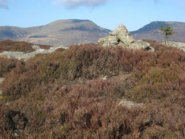
Craig Y Ganllwyd
Mountains & hills · 2.1 km

Craig Y Penmaen
Mountains & hills · 2.4 km

Pistyll Cain
Waterfalls · 2.4 km
Craig y Penmaen
Mountains & hills · 2.5 km

Temtiwr
Mountain bike trails · 2.5 km
Minor Taur
Mountain bike trails · 2.6 km

Rhaeadr Mawddach
Waterfalls · 2.6 km
Nearby
📷 3Archaeological sites · North Wales
Coed-y-Brenin
Coed-y-Brenin is a archaeological site in the United Kingdom.
📷 5Historic bridges · North Wales
Pont Dol-Gefeliau
Pont Dol-Gefeliau — Grade II listed building-listed bridge in wales-north, United Kingdom.
📷 5📷 5Campsites · North Wales
Cae Gwyn Farm Holidays
Cae Gwyn Farm Holidays — a campsite in wales north.
📷 3Mountains & hills · North Wales
Craig Aberserw
Craig Aberserw — a mountain in wales-north, United Kingdom, 446 m.
📷 3Where to eat & stay near Gwynedd
Places to stay
📷 5Campsites · North Wales
Cae Gwyn Farm Holidays
Cae Gwyn Farm Holidays — a campsite in wales north.
 📷 5
📷 5Caravan parks · North Wales
Trawsfynydd Holiday Village
Trawsfynydd Holiday Village — a caravan park in wales north.
 📷 5
📷 5Hostels · North Wales
Rhiw Goch Bunkhouse
Rhiw Goch Bunkhouse — a hostel in wales north.
 📷 5
📷 5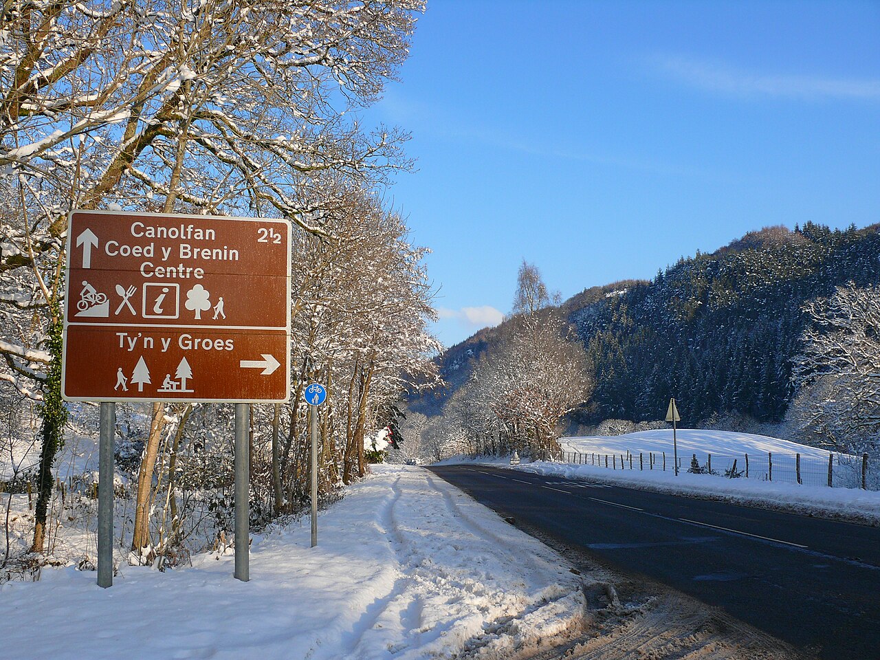 📷 5
📷 5 📷 5
📷 5Places to eat & drink
 📷 7
📷 7 📷 7
📷 7 📷 7
📷 7 📷 5
📷 5 📷 7
📷 7 📷 7
📷 7More places in this region
 📷 3
📷 3Historic churches · North Wales
All Saints Church
All Saints Church — Anglican church in Deganwy, Wales.
 📷 3
📷 3Historic churches · North Wales
All Saints Church, Great Saughall
All Saints Church, Great Saughall — grade II listed church in Saughall, Cheshire West and Chester, Cheshire, England, UK.
 📷 3
📷 3Historic churches · North Wales
All Saints Church, Higher Kinnerton
All Saints Church, Higher Kinnerton — church in United Kingdom.
 📷 3
📷 3Historic churches · North Wales
All Saints' Church, Gresford
All Saints' Church, Gresford — church in Gresford, north Wales.
Frequently asked questions
- Where is Gwynedd?
- Gwynedd is in North Wales, United Kingdom (postcode LL40 2LA), in the parish of Ganllwyd.
- What is Gwynedd?
- Gwynedd (Welsh: [ˈɡwɨnɛð]) is a county in the north-west of Wales. It borders Anglesey across the Menai Strait to the north, Conwy County Borough, Denbighshire, and Powys to the east, Ceredigion over
- How do I get to Gwynedd?
- Drivers can use postcode LL40 2LA.
- Who owns Gwynedd?
- Gwynedd is owned by Gwynedd Council (Cyngor Gwynedd).
- Is Gwynedd free to visit?
- Yes, Gwynedd is free to enter.
- How do I get to Gwynedd?
- Drivers can navigate to postcode LL40 2LA. It sits within the Dwyfor Meirionnydd parliamentary constituency.