Archaeological sites · East of England
Grime's Graves
In or near Mundford.
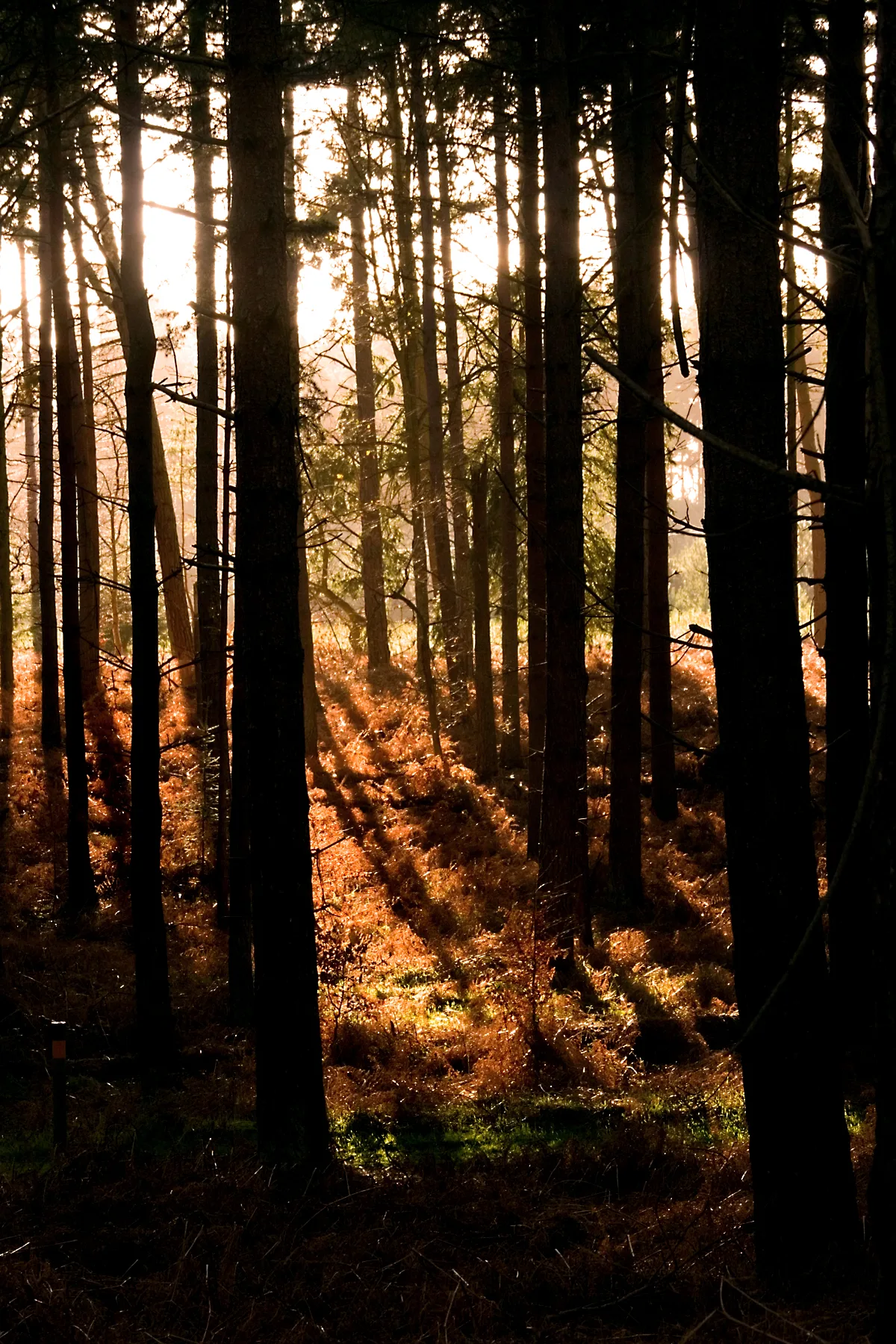
Grime's Graves is a large Neolithic flint mining complex in Norfolk, England. It lies 8 km (5.0 mi) north east from Brandon, Suffolk in the East of England. It was worked between c. 2600 and c. 2300 B

Jon Wilson-Bright — CC BY-SA 2.0 via Wikimedia Commons licence
Plan your visit
- Typical visit
- 45 min–1.5 h
- Nearest railway station
- Brandon · 4.2 km
- Free entry
- Dog-friendly
Getting there & planning your visit
To visit Grime's Graves, the nearest railway station is Brandon, located 4.2 km away. The postcode for sat-nav is IP26 5DE, and entry to the site is free.
About
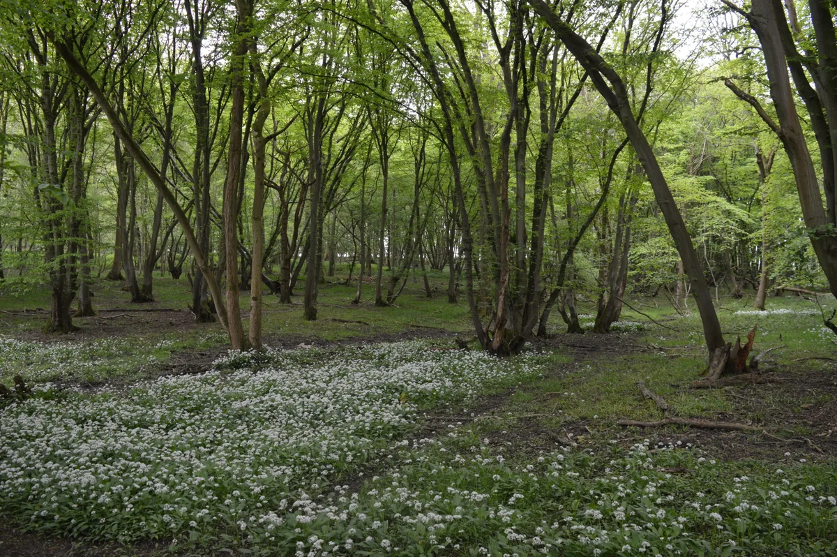
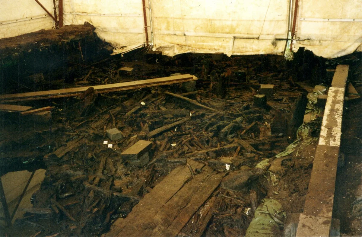
Grime's Graves is a large Neolithic flint mining complex in Norfolk, England. It lies 8 km (5.0 mi) north east from Brandon, Suffolk in the East of England. It was worked between c. 2600 and c. 2300 BC, although production may have continued through the Bronze and Iron Ages and later, owing to the low cost of flint compared with metals. Flint was much in demand for making polished stone axes in the Neolithic period. Much later, when flint had been replaced by metal tools, flint nodules were in demand for other uses, such as for building and as strikers for muskets. Grime's Graves was first extensively explored by the 19th-century archaeologist William Greenwell. The scheduled monument extends over an area of some 37 ha (91 acres) and consists of at least 433 shafts dug into the natural chalk to reach seams of flint. The largest shafts are more than 14 m (46 ft) deep and 12 m (39 ft) in diameter at the surface. It has been calculated that more than 2,000 tonnes of chalk had to be removed from the larger shafts, taking 20 men around five months, before stone of sufficient quality was reached. An upper 'topstone' and middle 'wallstone' seam of flint was dug through on the way to the deeper third 'floorstone' seam which most interested the miners. The site is managed by English Heritage and can be visited. The site is also a biological and geological Site of Special Scientific Interest and a Geological Conservation Review site. It is part of the Breckland Special Area of…
Photo gallery
Official information
Grime's Graves is a prehistoric flint mine featuring over 430 shafts and quarries, dating back to around 2650 BC. Visitors can explore the mine, view exhibitions, and participate in self-guided walking trails that highlight the site's historical significance.
Protected designations
- Site of Special Scientific Interest: Grime's Graves SSSI
- Site of Special Scientific Interest: Breckland Forest SSSI
- Site of Special Scientific Interest: Breckland Farmland SSSI
Designations sourced from Natural England open data under OGL v3.
From the Wikipedia article
Grime's Graves is a large Neolithic flint mining complex in Norfolk, England. It lies 8 km (5.0 mi) north east from Brandon, Suffolk in the East of England. It was worked between c. 2600 and c. 2300 BC, although production may have continued through the Bronze and Iron Ages and later, owing to the low cost of flint compared with metals. Flint was much in demand for making polished stone axes in the Neolithic period. Much later, when flint had been replaced by metal tools, flint nodules were in demand for other uses, such as for building and as strikers for muskets. Grime's Graves was first extensively explored by the 19th-century archaeologist William Greenwell. The scheduled monument extends over an area of some 37 ha (91 acres) and consists of at least 433 shafts dug into the natural chalk to reach seams of flint. The largest shafts are more than 14 m (46 ft) deep and 12 m (39 ft) in diameter at the surface. It has been calculated that more than 2,000 tonnes of chalk had to be removed from the larger shafts, taking 20 men around five months, before stone of sufficient quality was reached. An upper 'topstone' and middle 'wallstone' seam of flint was dug through on the way to the deeper third 'floorstone' seam which most interested the miners. The site is managed by English Heritage and can be visited. The site is also a biological and geological Site of Special Scientific Interest and a Geological Conservation Review site. It is part of the Breckland Special Area of Conservation and Special Protection Area.
Excerpt from Wikipedia under CC BY-SA 4.0. See the source article linked in Sources below.
Background
History
Grime's Graves was first extensively explored by the archaeologist William Greenwell in 1868. The function of the holes in the ground around it was not known in the time between the mine's abandonment and his exploration of it. An 18th-century priest suggested that the holes were left by Vikings, and an amateur archeologist suggested a century later that they were the remains of a fortress of the Celts.
Description
Grime's Graves is in the care of English Heritage. It is open to the public and it is possible to descend a 9 m ladder and explore one of the shafts. There is a small exhibition area. This is the only shaft of its kind open to the public in Britain.
Sourced from Wikipedia under CC BY-SA 4.0.
- Coordinates
- 52.4759, 0.6754
- County
- Norfolk
- District
- Breckland
- Parish
- Weeting-with-Broomhill
- Postcode
- IP26 5DE
- Parliamentary constituency
- South West Norfolk
- Nearest railway station
- Brandon — 4.2 km
- Opening
- Daily 10am–5pm; last entry at 4.30pm
- Official site
- www.english-heritage.org.uk
Sources
- wikipedia: Grime's Graves (CC BY-SA 4.0)
Other places nearby

Grimes Grave's Visitor Centre
Museums · 0.2 km

Linford Stag Picnic Site
Natural landmarks · 2.0 km

Santon Downham Village Sign
Public art & sculpture · 2.3 km
Thetford Forest
Parks · 2.5 km

Saint Helen's Picnic Site
Historic churches · 2.6 km

Santon
Villages · 2.9 km

Blood Hill
Archaeological sites · 3.1 km

Blood Hill
Archaeological sites · 3.1 km

West Tofts
Villages · 3.5 km

Pepper Hill
Archaeological sites · 3.5 km

Mundford
Towns & cities · 3.8 km

Two Mile Bottom Scout and Guide Camp Site
Campsites · 3.9 km
Nearby
📷 3Museums · East of England
Grimes Grave's Visitor Centre
Grimes Grave's Visitor Centre — a museum in england-east, United Kingdom.
📷 3Natural landmarks · East of England
Linford Stag Picnic Site
Linford Stag Picnic Site — a other in england-east, United Kingdom.
📷 3Public art & sculpture · East of England
Santon Downham Village Sign
Santon Downham Village Sign — a public art in england-east, United Kingdom.
📷 5Parks · East of England
Thetford Forest
Thetford Forest — park in Norfolk, United Kingdom.
📷 3Historic churches · East of England
Saint Helen's Picnic Site
Saint Helen's Picnic Site — a other in england-east, United Kingdom.
📷 5Where to eat & stay near Grime's Graves
Places to stay
📷 5Campsites · East of England
Two Mile Bottom Scout and Guide Camp Site
Two Mile Bottom Scout and Guide Camp Site — a campsite in england east.
 📷 5
📷 5Hotels · East of England
The Crown Hotel
The Crown Hotel — a hotel in england east.
 📷 5
📷 5Caravan parks · East of England
Poppyfields
Poppyfields — a caravan park in england east.
 📷 5
📷 5 📷 5
📷 5Caravan parks · East of England
The Covert Caravan Club Site
The Covert Caravan Club Site — a caravan park in england east.
 📷 7
📷 7Hotels · East of England
The Thomas Paine Hotel
The Thomas Paine Hotel — a hotel in england east.
Places to eat & drink
 📷 5
📷 5Historic pubs · East of England
The Railway Public House
The Railway Public House in England East, United Kingdom.
 📷 5
📷 5Restaurants · East of England
Wong's Taste of China
Wong's Taste of China — a restaurant in england east.
 📷 5
📷 5Historic pubs · East of England
Old Mill Public House, Rudolph's Nite Spot And Old Mill Pizza House
Old Mill Public House, Rudolph's Nite Spot And Old Mill Pizza House in England East, United Kingdom.
 📷 5
📷 5Restaurants · East of England
Swaffham Kebab & Pizza House
Swaffham Kebab & Pizza House — a restaurant in england east.
 📷 7
📷 7Historic pubs · East of England
Three Kings Public House And Attached House Stable Block
Three Kings Public House And Attached House Stable Block in England East, United Kingdom.
 📷 5
📷 5Historic pubs · East of England
The Old Woolpack Public House
The Old Woolpack Public House in England East, United Kingdom.
More archaeological sites in this region
 Flagship📷 10
Archaeological sites · East of England
Nunn Wood
Nunn Wood — woods in Essex, England, a Site of Special Scientific Interest.
 📷 5
📷 5Archaeological sites · East of England
A Bronze Age post alignment and timber platform at Flag Fen and associated Bronze Age and later field systems and settlement to
A Bronze Age post alignment and timber platform at Flag Fen and associated Bronze Age and later field systems and settlement to — archaeological site in Thorney, City of Peterborough, England, UK.
 📷 5
📷 5Archaeological sites · East of England
Causewayed enclosure 900m west of Great Wilbraham parish church
Causewayed enclosure 900m west of Great Wilbraham parish church — archaeological site in Great Wilbraham, South Cambridgeshire, England, UK.
 📷 5
📷 5Archaeological sites · East of England
Dray's Ditches
Dray's Ditches — archaeological site in Streatley, Central Bedfordshire, England, UK.
Frequently asked questions
- Where is Grime's Graves?
- Grime's Graves is in Norfolk, East of England, United Kingdom (postcode IP26 5DE), in the parish of Weeting-with-Broomhill.
- What is Grime's Graves?
- Grime's Graves is a large Neolithic flint mining complex in Norfolk, England. It lies 8 km (5.0 mi) north east from Brandon, Suffolk in the East of England. It was worked between c. 2600 and c. 2300 B
- How do I get to Grime's Graves?
- The nearest railway station is Brandon, about 4.2 km away. Drivers can use postcode IP26 5DE.
- Who owns Grime's Graves?
- Grime's Graves is owned by Managed by English Heritage.
- Is Grime's Graves a protected site?
- Yes — Grime's Graves is part of the Grime's Graves SSSI Site of Special Scientific Interest and the Breckland Forest SSSI Site of Special Scientific Interest.
- Is Grime's Graves free to visit?
- Yes, Grime's Graves is free to enter.
- How do I get to Grime's Graves?
- The nearest railway station is Brandon, about 4.2 km away. Drivers can navigate to postcode IP26 5DE.