
Museums · East of England
Brandon, Suffolk
In or near Wangford.
Brandon is a town and civil parish in the English county of Suffolk. Brandon is located in the Breckland area of Suffolk in the extreme north-west of the county, close to the adjoining county of Norfo

Colin Smith — CC BY-SA 2.0 via Wikimedia Commons licence

Plan your visit
- Typical visit
- 1.5 h–3 h
- Best time of year
- Year-round
- Nearest railway station
- Brandon · 0.7 km
- Free entry
- Family-friendly
- Limited wheelchair access
Getting there & planning your visit
To visit the museum in Brandon, Suffolk, you can reach it via the nearest railway station, which is Brandon, located 0.7 km away. The postcode for the location is IP27 0AA. Please note that wheelchair accessibility is limited.
About
Brandon is a town and civil parish in the English county of Suffolk. Brandon is located in the Breckland area of Suffolk in the extreme north-west of the county, close to the adjoining county of Norfolk. It lies between the towns of Bury St Edmunds, Thetford, Mildenhall, Downham Market and the city of Ely. The town is almost entirely surrounded by Thetford Forest. Best known throughout the ages for its flint industry, Brandon was also one of the Brecks-area towns where soldiers trained during World Wars I and II. The town has had a sizeable Polish population since the end of the Second World War, when Polish Allied soldiers were resettled under the Polish Resettlement Act of 1947.
Photo gallery
Official information
Brandon is a small market town in Suffolk, surrounded by forests and offering various attractions and activities. Visitors can explore local shops, restaurants, and nearby villages, making it a charming destination for a day out.
Protected designations
- Site of Special Scientific Interest: Breckland Forest SSSI
- Site of Special Scientific Interest: Breckland Farmland SSSI
Designations sourced from Natural England open data under OGL v3.
From the Wikipedia article
Brandon is a town and civil parish in the English county of Suffolk. Brandon is located in the Breckland area of Suffolk in the extreme north-west of the county, close to the adjoining county of Norfolk. It lies between the towns of Bury St Edmunds, Thetford, Mildenhall, Downham Market and the city of Ely. The town is almost entirely surrounded by Thetford Forest. Best known throughout the ages for its flint industry, Brandon was also one of the Brecks-area towns where soldiers trained during World Wars I and II. The town has had a sizeable Polish population since the end of the Second World War, when Polish Allied soldiers were resettled under the Polish Resettlement Act of 1947.
Excerpt from Wikipedia under CC BY-SA 4.0. See the source article linked in Sources below.
Background
History
Brandon, likely "hill where broom grows", has been variously referred to as Brandona, Braundon, Brandones Ferye, Brandon Ferry, Brand, and Bromdum throughout history. The earliest known spelling was in the 11th century when the town, gradually expanding up and along the rising ground of the river valley, was called Bromdun. The town was originally developed as a crossing point for the Little Ouse River. which thrived until the 1950s. Brandon was still a major centre for the production of gunflints by the Napoleonic Wars. Gunflint production ended in 1945. during a briefing at RAF Lakenheath during the Second World War]] Brandon's Great Fire occurred on 14 May 1789. A fire started at the…
Sourced from Wikipedia under CC BY-SA 4.0.
- Coordinates
- 52.4474, 0.6242
- County
- Suffolk
- District
- West Suffolk
- Parish
- Brandon
- Postcode
- IP27 0AA
- Parliamentary constituency
- West Suffolk
- Nearest railway station
- Brandon — 0.7 km
- Opening
- Th; Sa
- Official site
- www.brandonsuffolk.com
Sources
- wikipedia: Brandon, Suffolk (CC BY-SA 4.0)
Other places nearby

Market Hill
Farmers’ markets · 0.0 km
Brandon Town Sign
Public art & sculpture · 0.0 km

Brandon Heritage Centre
Museums · 0.1 km

Ram Hotel
B&Bs · 0.5 km

Brandon War Memorial
Memorials & monuments · 0.7 km

Brandon railway station
Heritage railway stations · 0.7 km

Oak & Rust
Public art & sculpture · 1.3 km

Edward Bliss's Mausoleum
Follies · 1.5 km

Pepper Hill
Archaeological sites · 1.6 km

Weeting
Villages · 2.0 km
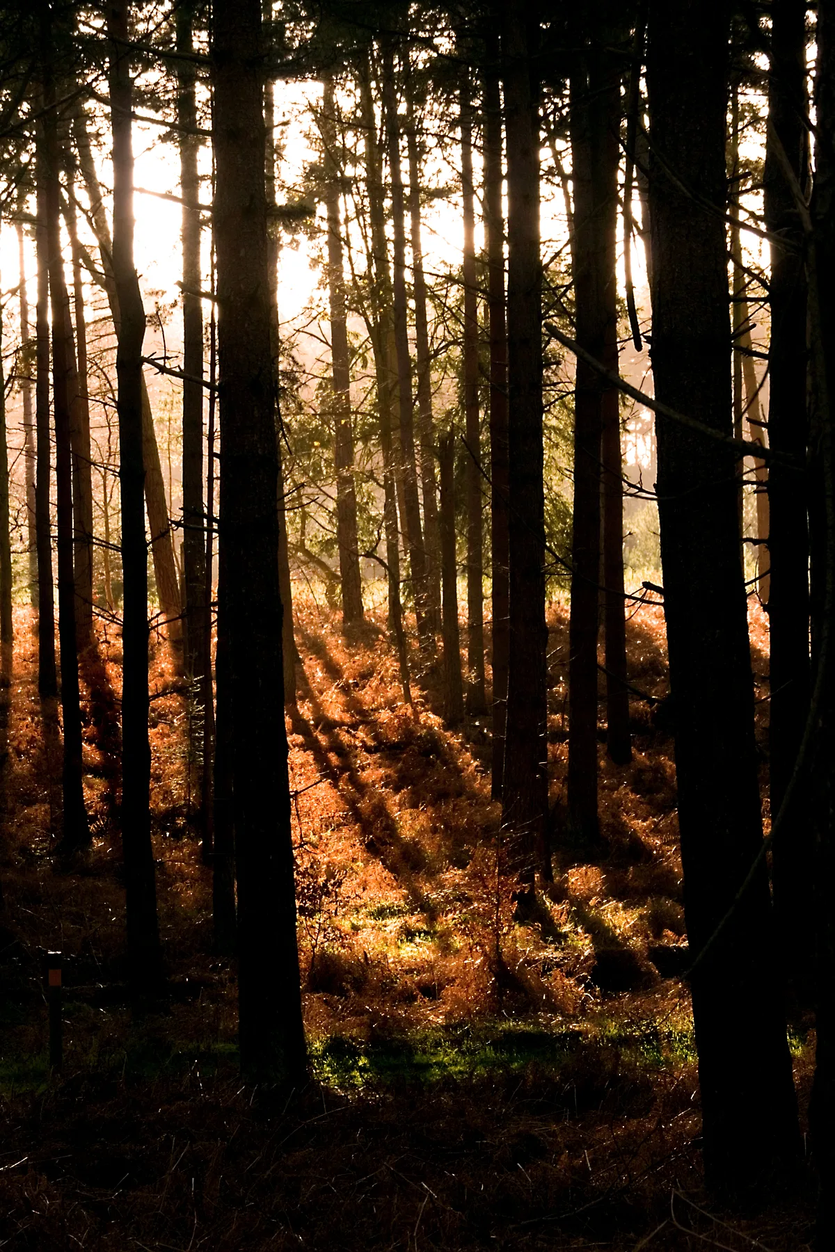
Thetford Forest
Parks · 2.2 km

Weeting Village Sign
Public art & sculpture · 2.2 km
Nearby
📷 5📷 3Public art & sculpture · East of England
Brandon Town Sign
Brandon Town Sign — a public art in england-east, United Kingdom.
📷 3Museums · East of England
Brandon Heritage Centre
Brandon Heritage Centre — a museum in england-east, United Kingdom.
📷 5📷 3Memorials & monuments · East of England
Brandon War Memorial
Brandon War Memorial is a memorial in the United Kingdom.
📷 4Heritage railway stations · East of England
Brandon railway station
Brandon railway station — a Grade II*-listed railway station in england-east, United Kingdom.
Where to eat & stay near Brandon, Suffolk
Places to stay
📷 5 📷 5
📷 5Caravan parks · East of England
Poppyfields
Poppyfields — a caravan park in england east.
 📷 5
📷 5Campsites · East of England
Two Mile Bottom Scout and Guide Camp Site
Two Mile Bottom Scout and Guide Camp Site — a campsite in england east.
 📷 5
📷 5Hotels · East of England
The Crown Hotel
The Crown Hotel — a hotel in england east.
 📷 7
📷 7Hotels · East of England
The Thomas Paine Hotel
The Thomas Paine Hotel — a hotel in england east.
 📷 5
📷 5Places to eat & drink
 📷 5
📷 5Historic pubs · East of England
The Railway Public House
The Railway Public House in England East, United Kingdom.
 📷 5
📷 5Restaurants · East of England
Wong's Taste of China
Wong's Taste of China — a restaurant in england east.
 📷 5
📷 5Historic pubs · East of England
Old Mill Public House, Rudolph's Nite Spot And Old Mill Pizza House
Old Mill Public House, Rudolph's Nite Spot And Old Mill Pizza House in England East, United Kingdom.
 📷 5
📷 5Historic pubs · East of England
The Golden Boar Public House
The Golden Boar Public House in England East, United Kingdom.
 📷 7
📷 7Historic pubs · East of England
Three Kings Public House And Attached House Stable Block
Three Kings Public House And Attached House Stable Block in England East, United Kingdom.
 📷 7
📷 7Historic pubs · East of England
The White Horse Public House Cottage And Coach House
The White Horse Public House Cottage And Coach House in England East, United Kingdom.
More museums in this region
 📷 5
📷 5Museums · East of England
American Air Museum
American Air Museum — museum at Imperial War Museum Duxford, Cambridgeshire, England, UK.
 📷 5
📷 5Museums · East of England
Ashwell Village Museum
Ashwell Village Museum — historic building museum in Ashwell, Hertfordshire, England, United Kingdom.
 📷 5
📷 5Museums · East of England
Barleylands Farm Museum
Barleylands Farm Museum — Farm museum in Billericay, England.
 📷 5
📷 5Museums · East of England
Cromwell Museum
Cromwell Museum — museum in Huntingdon, England, United Kingdom.
Frequently asked questions
- Where is Brandon, Suffolk?
- Brandon, Suffolk is in Suffolk, East of England, United Kingdom (postcode IP27 0AA), in the parish of Brandon.
- What is Brandon, Suffolk?
- Brandon is a town and civil parish in the English county of Suffolk. Brandon is located in the Breckland area of Suffolk in the extreme north-west of the county, close to the adjoining county of Norfo
- How do I get to Brandon, Suffolk?
- The nearest railway station is Brandon, about 0.7 km away. Drivers can use postcode IP27 0AA.
- Is Brandon, Suffolk a protected site?
- Yes — Brandon, Suffolk is part of the Breckland Forest SSSI Site of Special Scientific Interest and the Breckland Farmland SSSI Site of Special Scientific Interest.
- How do I get to Brandon, Suffolk?
- The nearest railway station is Brandon, about 0.7 km away. Drivers can navigate to postcode IP27 0AA.