
Canals · East Midlands
Grantham Canal
In or near Keyworth.
Grantham Canal — canal in the East Midlands, United Kingdom.

Wikimedia Commons contributors — see linked file page for photographer and licence licence

Plan your visit
- Typical visit
- 1 h–2 h
- Free entry
- Dog-friendly
About
Grantham Canal is a canal in the United Kingdom. Owned by Great Northern Railway. Wikidata describes it as: "canal in the East Midlands, United Kingdom". Coordinates: 52.8619°, -0.9842°.
Photo gallery
From the Wikipedia article
The Grantham Canal ran 33 miles (53 km) from Grantham through 18 locks to West Bridgford, where it joined the River Trent. It was built primarily for the transportation of coal to Grantham. It opened in 1797 and its profitability steadily increased until 1841. It was then sold to a railway company, declined, and was finally closed in 1936. It was used as a water supply for agriculture, and so most of it remained in water after closure, although bridges were lowered. Since the 1970s, the Grantham Canal Society have been working to restore parts of it. Two stretches are now navigable to small vessels. A new route will be required where the canal joins the Trent, as road building has severed the original one.
Excerpt from Wikipedia under CC BY-SA 4.0. See the source article linked in Sources below.
Background
History
| repeal_date = | amendments = Grantham Canal Act 1797 | repealing_legislation = | related_legislation = | status = Amended | original_text = https://books.google.co.uk/books?id=XwbC08mcZ-4C&pg=PA362 | collapsed = yes }} The concept of a canal from the River Trent to Grantham was first raised on 27 August 1791, as a way of supplying the district with cheaper coal. The intent was for the navigation to join the Trent below Nottingham at Radcliffe-on-Trent. As William Jessop was surveying the Nottingham Canal at the time, he was asked to survey the Grantham route as well, and a bill was put before Parliament in 1792. It was defeated, as there was opposition from coal suppliers, who delivered…
Sourced from Wikipedia under CC BY-SA 4.0.
- Coordinates
- 52.8619, -0.9842
- County
- Nottinghamshire
- District
- Rushcliffe
- Parish
- Kinoulton
- Postcode
- LE14 3AR
- Parliamentary constituency
- Rushcliffe
- Established
- 1797
Sources
- wikidata: Q5596618 (CC0)
- wikipedia: Grantham Canal (CC BY-SA 4.0)
- commons: Grantham Canal not in water.JPG (CC BY-SA 4.0)
Other places nearby

Grove Farm
Caravan parks · 0.6 km
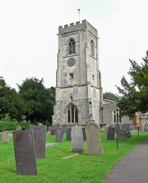
St Luke's Church, Hickling
Historic churches · 0.9 km

Kinoulton
Villages · 1.2 km
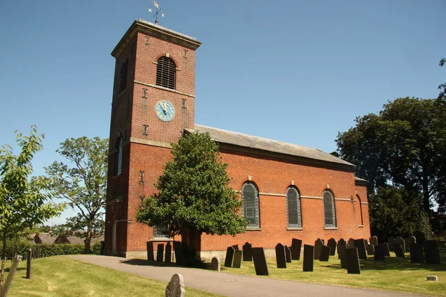
St Luke's Church, Kinoulton
Historic churches · 1.2 km

Moat (site of)
Archaeological sites · 1.3 km

Kinoulton War Memorial
Memorials & monuments · 1.4 km

Grantham Canal, Clarks Bridge
Historic bridges · 1.8 km

Lombardy Poplars
Memorials & monuments · 2.1 km
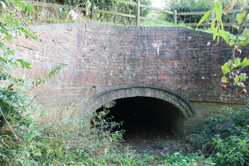
Grantham Canal, Aqueduct Over River Smite Approximately 800 Metres South West Of Long Clawson Bridge
Aqueducts · 3.0 km

Oddhouse Farm Glamping
Campsites · 3.1 km
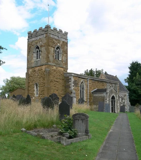
St Luke's Church, Upper Broughton
Historic churches · 3.6 km

Smite Bridge Over River Smite
Historic bridges · 3.6 km
Nearby
📷 5📷 3Historic churches · East Midlands
St Luke's Church, Hickling
St Luke's Church, Hickling — Grade I listed church in Hickling, Rushcliffe, Nottinghamshire, England, UK.
📷 5📷 3Historic churches · East Midlands
St Luke's Church, Kinoulton
St Luke's Church, Kinoulton — church in Kinoulton, Rushcliffe, Nottinghamshire, England, UK.
📷 3Archaeological sites · East Midlands
Moat (site of)
Moat (site of) — an archaeological site in East Midlands, United Kingdom.
📷 3Memorials & monuments · East Midlands
Kinoulton War Memorial
Kinoulton War Memorial is a memorial in the United Kingdom.
Where to eat & stay near Grantham Canal
Places to stay
📷 5📷 5Campsites · East Midlands
Oddhouse Farm Glamping
Oddhouse Farm Glamping — a campsite in england east midlands.
 📷 5
📷 5Caravan parks · East Midlands
The Landings at Langar
The Landings at Langar — a caravan park in england east midlands.
 📷 5
📷 5 📷 5
📷 5B&Bs · East Midlands
Primrose House B&B
Primrose House B&B — a bed-and-breakfast in england east midlands.
 📷 5
📷 5Campsites · East Midlands
Hollygate Scout Camp
Hollygate Scout Camp — a campsite in england east midlands.
Places to eat & drink
 📷 5
📷 5Historic pubs · East Midlands
The Nags Head Public (number 20) House And Attached Walls, Railings, Gate And Overthrow
The Nags Head Public (number 20) House And Attached Walls, Railings, Gate And Overthrow in England East Midlands, United Kingdom.
 📷 5
📷 5Historic pubs · East Midlands
Manvers Arms Public House
Manvers Arms Public House in England East Midlands, United Kingdom.
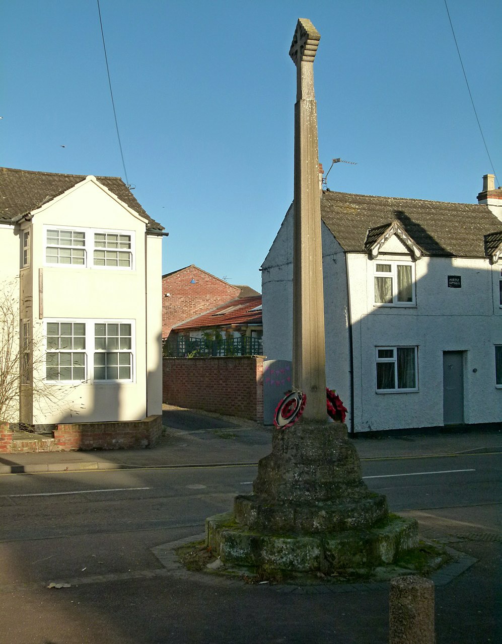 📷 7
📷 7Historic pubs · East Midlands
The Blue Bell Public House
The Blue Bell Public House in England East Midlands, United Kingdom.
 📷 7
📷 7Historic pubs · East Midlands
Test Match Hotel
Test Match Hotel in England East Midlands, United Kingdom.
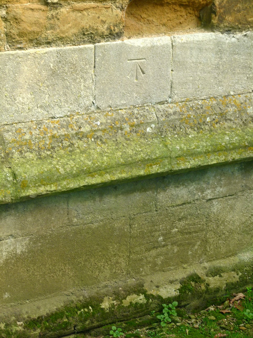 📷 5
📷 5 📷 7
📷 7Cafés · East Midlands
The Storehouse At The Fox
The Storehouse At The Fox — a café in england east midlands.
More places in this region
 📷 5
📷 5 📷 3
📷 3Canals · East Midlands
Bond End Canal
Bond End Canal — canal in Staffordshire, England, 1775–1874.
 📷 3
📷 3Canals · East Midlands
Catchwater Drain
Catchwater Drain — artificial watercourse in Lincolnshire, England.
 📷 3
📷 3Canals · East Midlands
Charnwood Forest Canal
Charnwood Forest Canal is a canal in the United Kingdom.
Frequently asked questions
- Where is Grantham Canal?
- Grantham Canal is in Nottinghamshire, the East Midlands, United Kingdom (postcode LE14 3AR), in the parish of Kinoulton.
- What is Grantham Canal?
- Grantham Canal — canal in the East Midlands, United Kingdom.
- How do I get to Grantham Canal?
- The nearest town is Keyworth. Drivers can use postcode LE14 3AR.
- When was Grantham Canal built?
- Built or established in 1797.
- Who owns Grantham Canal?
- Grantham Canal is owned by Great Northern Railway.
- Is Grantham Canal free to visit?
- Yes, Grantham Canal is free to enter.
- How do I get to Grantham Canal?
- Drivers can navigate to postcode LE14 3AR. It sits within the Rushcliffe parliamentary constituency.