Mines & mining heritage · Mid Wales
Goginan
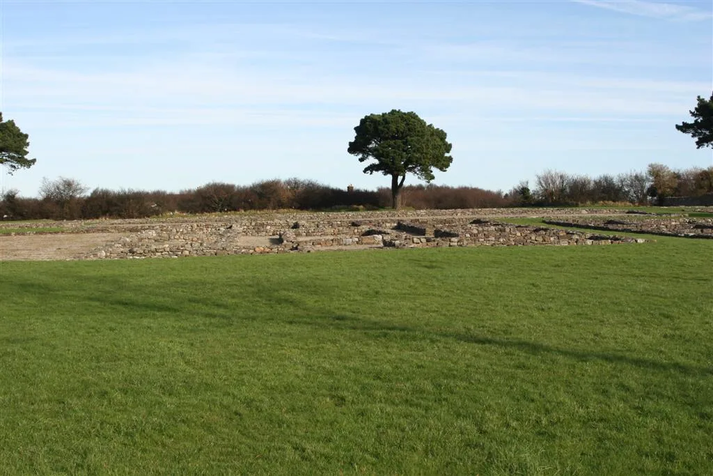
In or near Llanilar.
Goginan in Wales Mid, United Kingdom.

Richard Law — CC BY-SA 2.0 via Wikimedia Commons licence
Plan your visit
- Typical visit
- 1 h–2 h
- Nearest railway station
- Aberffrwd · 2.4 km
Getting there & planning your visit
To visit Goginan, the nearest railway station is Aberffrwd, located 2.4 km away. The postcode for Goginan is SY23 3NT. Entry details are not provided, so please check in advance for accessibility information.
About
Goginan is a place of interest in Wales Mid, United Kingdom — drawn from open-data sources for visitor reference. See the linked Wikipedia article for the full description.
Photo gallery
See it from the streetimagery from 2026
Imagery © Mapillary contributors, CC BY-SA 4.0
From the Wikipedia article
Goginan is a small village in Ceredigion, Wales, about 7 miles outside Aberystwyth on the A44 between Ponterwyd and Capel Bangor. Afon Melindwr runs through the village, and is a tributary of the Afon Rheidol. The village originally grew around farms in the area, but increased with the development of local mines. To the east of the villages lies a Grade II Listed 19th century house thought to be associated with the lead mines in the area; it is probably the Goginan mine manager's house. Cadw Building ID: 9857.
Excerpt from Wikipedia under CC BY-SA 4.0. See the source article linked in Sources below.
- Coordinates
- 52.4120, -3.9300
- District
- Ceredigion
- Parish
- Melindwr
- Postcode
- SY23 3NT
- Parliamentary constituency
- Ceredigion Preseli
- Nearest railway station
- Aberffrwd — 2.4 km
Sources
Other places nearby
Dollwen
Other places · 0.2 km

Pont Ysgubor Newydd
Historic bridges · 0.5 km

Aber Camping
Campsites · 0.6 km
Nant yr Arian Castle
Literary houses · 0.6 km

Castell Goginan Fach
Vineyards · 1.0 km

Tan-y-ffordd
Vineyards · 1.4 km
Caer Rufeinig Pen-llwyn
Hill forts · 1.4 km

Banc Coed-laith
Mountains & hills · 1.4 km

Melindwr
Stone circles · 1.5 km

Banc Hafodau
Mountains & hills · 1.7 km

Castell (camp)
Archaeological sites · 1.9 km

Daren
Other places · 1.9 km
Nearby
📷 3📷 5Historic bridges · Mid Wales
Pont Ysgubor Newydd
Pont Ysgubor Newydd — Grade II listed building-listed bridge in wales-mid, United Kingdom.
📷 5📷 5Literary houses · Mid Wales
Nant yr Arian Castle
Nant yr Arian Castle — a literary house museum in wales mid.
Vineyards · Mid Wales
Castell Goginan Fach
Castell Goginan Fach — a UK vineyard in wales mid, producing English or Welsh wine from cool-climate grape varieties.
📷 5Vineyards · Mid Wales
Tan-y-ffordd
Tan-y-ffordd — a UK vineyard in wales mid, producing English or Welsh wine from cool-climate grape varieties.
Where to eat & stay near Goginan
Places to stay
📷 5 📷 5
📷 5Caravan parks · Mid Wales
Maes Bangor Caravan Park
Maes Bangor Caravan Park — a caravan park in wales mid.
 📷 7
📷 7Hotels · Mid Wales
George Borrow Hotel
George Borrow Hotel — a hotel in wales mid.
 📷 5
📷 5Caravan parks · Mid Wales
Erwbarfe Farm Caravan Park
Erwbarfe Farm Caravan Park — a caravan park in wales mid.
 📷 7
📷 7 📷 5
📷 5Caravan parks · Mid Wales
Tynyffordd Fach Caravan Park
Tynyffordd Fach Caravan Park — a caravan park in wales mid.
Places to eat & drink
 📷 5
📷 5Cafés · Mid Wales
Llywernog Silver Lead Mine
Llywernog Silver Lead Mine — a café in wales mid.
 📷 5
📷 5 📷 7
📷 7 📷 4
📷 4 📷 5
📷 5Restaurants · Mid Wales
The White Lion Hotel
The White Lion Hotel — a restaurant in wales mid.
More places in this region
 📷 4
📷 4 📷 4
📷 4 📷 2
📷 2 📷 4
📷 4Frequently asked questions
- Where is Goginan?
- Goginan is in Mid Wales, United Kingdom (postcode SY23 3NT), in the parish of Melindwr.
- What is Goginan?
- Goginan in Wales Mid, United Kingdom.
- How do I get to Goginan?
- The nearest railway station is Aberffrwd, about 2.4 km away. Drivers can use postcode SY23 3NT.
- How do I get to Goginan?
- The nearest railway station is Aberffrwd, about 2.4 km away. Drivers can navigate to postcode SY23 3NT.