
Islands · Northern Ireland
Glunimore Island
Glunimore Island — island in Argyll and Bute, Scotland, UK.

Wikimedia Commons contributors — see linked file page for photographer and licence licence

Plan your visit
- Typical visit
- 4 h–12 h
- Free entry
- Dog-friendly
About
Glunimore Island is a island in the United Kingdom. Wikidata describes it as: "island in Argyll and Bute, Scotland, UK". Coordinates: 55.2872°, -5.5591°.
Photo gallery
From the Wikipedia article
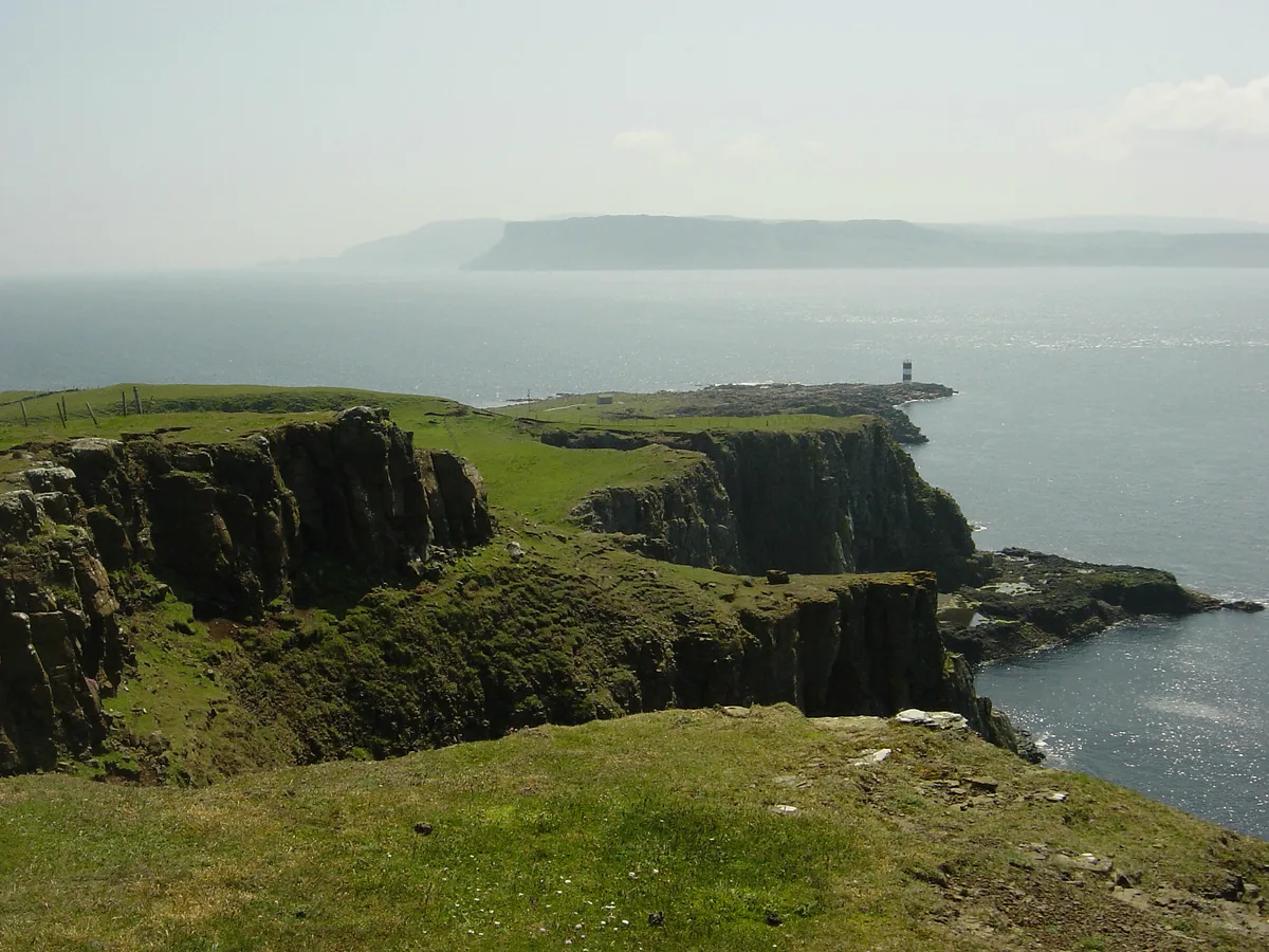
Glunimore Island is an uninhabited island around 3 miles (5 kilometres) southeast of the Kintyre peninsula, Scotland. It lies alongside Sanda Island and Sheep Island The island is just 200 metres (660 ft) long and rises to a height of 27 metres (89 ft). There is a cave on the shoreline at the north. A drying reef surrounds the island to the north and east. More of these dangerous reefs litter the sound between Glunimore, Sanda and Sheep Island. Paterson's Rock is yet another dangerous rock around 1.5 kilometres (a mile) to the east. Despite these obstacles the natural harbour formed by the three islands is still often used by boats rounding the Mull of Kintyre. Glunimore and neighbouring Sheep Island are the most important breeding grounds of puffins in the Clyde and the birds are now returning from here to Ailsa Craig another traditional breeding ground. Guillemots and razorbills also nest here. The island was visited in 1899 by two naturalists performing a survey for the Natural History Society of Glasgow. Glunimore Island lends its name to a cottage on neighbouring Sanda Island and to a house in Campbeltown.
Excerpt from Wikipedia under CC BY-SA 4.0. See the source article linked in Sources below.
- Coordinates
- 55.2872, -5.5591
- District
- Argyll and Bute
- Postcode
- PA28 6RS
- Parliamentary constituency
- Argyll, Bute and South Lochaber
Sources
- wikidata: Q3109301 (CC0)
- wikipedia: Glunimore Island (CC BY-SA 4.0)
- commons: Glunimore.jpg (CC BY-SA 4.0)
Other places nearby

Sheep Island
Islands · 0.9 km

Sanda
Mountains & hills · 1.3 km
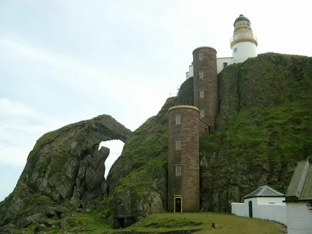
Sanda Island
Islands · 1.7 km
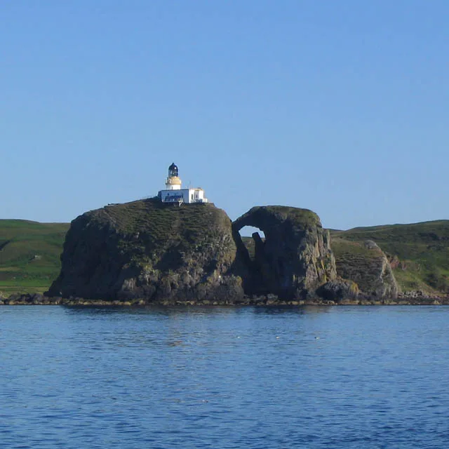
Sanda Island Lighthouse
Lighthouses · 2.0 km

HMS Untamed
Natural landmarks · 2.5 km

Polliwilline Bay
Natural landmarks · 3.3 km

Memorial to the 8th Duke of Argyll
Memorials & monuments · 3.8 km
Macharioch, dun site
Archaeological sites · 3.8 km

Macharioch Bay
Natural landmarks · 3.8 km

Cnoc Eibhleach, dun site
Archaeological sites · 3.9 km

St Coivin's Chapel
Historic houses · 4.5 km
St Coivin's Chapel
Archaeological sites · 4.5 km
Nearby
📷 5📷 5Flagship📷 5Islands · Northern Ireland
Sanda Island
Sanda Island — a small island in Argyll and Bute, Scotland, UK.
📷 3Lighthouses · Northern Ireland
Sanda Island Lighthouse
Sanda Island Lighthouse — lighthouse in Argyll and Bute, Scotland, UK.
📷 4Natural landmarks · Northern Ireland
HMS Untamed
HMS Untamed in Northern Ireland, United Kingdom.
📷 5Natural landmarks · Northern Ireland
Polliwilline Bay
Polliwilline Bay — a natural feature in northern ireland.
Where to eat & stay near Glunimore Island
Places to stay
 📷 5
📷 5 📷 5
📷 5Hotels · Scottish Lowlands
The Royal Hotel
The Royal Hotel — a hotel in scotland lowlands.
Caravan parks · Scottish Lowlands
Machrihanish Holiday Park
Machrihanish Holiday Park — a caravan park in scotland lowlands.
 📷 5
📷 5Caravan parks · Scottish Lowlands
Peninver Sands Holiday Park
Peninver Sands Holiday Park — a caravan park in scotland lowlands.
📷 5Caravan parks · Scottish Lowlands
Peninver Sands Holiday Park
Peninver Sands Holiday Park — a caravan park in scotland lowlands.
Places to eat & drink
 📷 5
📷 5Historic pubs · Scottish Lowlands
40 Main Street, Campbeltown
40 Main Street, Campbeltown in Northern Ireland, United Kingdom.
More places in this region
 Flagship📷 3
Islands · Northern Ireland
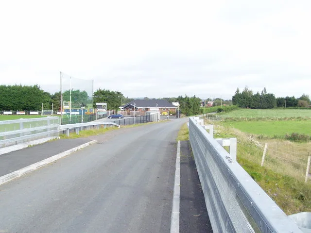
Derrywarragh Island
Derrywarragh Island — island in County Armagh, Northern Ireland, United Kingdom.
 Flagship📷 5
Islands · Northern Ireland
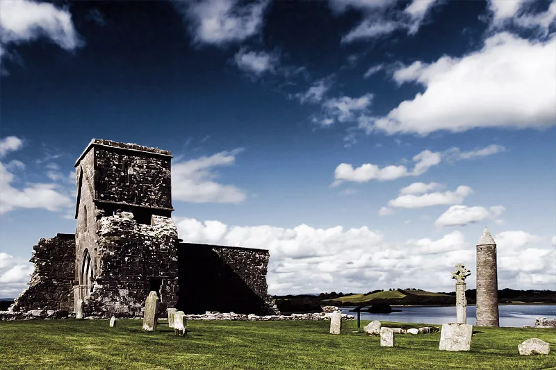
Devenish Island
Devenish Island — island in Lower Lough Erne, Northern Ireland.
 Flagship📷 3
Islands · Northern Ireland
Rathlin Island
Rathlin Island — island in County Antrim, Northern Ireland, UK.
Flagship📷 5Islands · Northern Ireland
Sanda Island
Sanda Island — a small island in Argyll and Bute, Scotland, UK.
Frequently asked questions
- Where is Glunimore Island?
- Glunimore Island is in Northern Ireland, United Kingdom (postcode PA28 6RS).
- What is Glunimore Island?
- Glunimore Island — island in Argyll and Bute, Scotland, UK.
- How do I get to Glunimore Island?
- Drivers can use postcode PA28 6RS.
- Is Glunimore Island free to visit?
- Yes, Glunimore Island is free to enter.
- How do I get to Glunimore Island?
- Drivers can navigate to postcode PA28 6RS. It sits within the Argyll, Bute and South Lochaber parliamentary constituency.