
Castles · South West England
Germoe
Germoe (Cornish: Germogh) is a village and civil parish in Cornwall, England, United Kingdom. Germoe village, the parish's main settlement and church town, is about five miles (8.0 km) west of Helston

Adrian Dust — CC BY-SA 2.0 via Wikimedia Commons licence

Plan your visit
- Typical visit
- 1.5 h–3 h
- Family-friendly
- Limited wheelchair access
About
Germoe (Cornish: Germogh) is a village and civil parish in Cornwall, England, United Kingdom. Germoe village, the parish's main settlement and church town, is about five miles (8.0 km) west of Helston and seven miles (11 km) east of Penzance. The A394 Penzance to Helston road runs along the southern border of the parish. Other settlements in the parish include Balwest, Boscreege and Tresowes Green. The parish is named after Saint Germocus, one of the companions of Saint Breage. According to legend Germoc was a king in Ireland whose feast day is 6 May. Historically, the largest landowners in the parish were the Godolphin family (the Dukes of Leeds). Germoe parish is bounded to the north, east and south by Breage parish and to the west by St Hilary parish. The population was 508 in the 2001 census. This had increased to 549 at the 2011 census. The parish is now rural in character but was once associated with the Cornish mining industry; to the north it borders the geological formation known as the Tregonning-Godolphin Granite (one of five granite batholiths in Cornwall) and the area was formerly an important source of tin and copper ore (see Geology of Cornwall). Tregonning Hill is the site of the Germoe first and second war memorial.
Photo gallery
From the Wikipedia article
Germoe (Cornish: Germogh) is a village and civil parish in Cornwall, England, United Kingdom. Germoe village, the parish's main settlement and church town, is about five miles (8.0 km) west of Helston and seven miles (11 km) east of Penzance. The A394 Penzance to Helston road runs along the southern border of the parish. Other settlements in the parish include Balwest, Boscreege and Tresowes Green. The parish is named after Saint Germocus, one of the companions of Saint Breage. According to legend Germoc was a king in Ireland whose feast day is 6 May. Historically, the largest landowners in the parish were the Godolphin family (the Dukes of Leeds). Germoe parish is bounded to the north, east and south by Breage parish and to the west by St Hilary parish. The population was 508 in the 2001 census. This had increased to 549 at the 2011 census. The parish is now rural in character but was once associated with the Cornish mining industry; to the north it borders the geological formation known as the Tregonning-Godolphin Granite (one of five granite batholiths in Cornwall) and the area was formerly an important source of tin and copper ore (see Geology of Cornwall). Tregonning Hill is the site of the Germoe first and second war memorial.
Excerpt from Wikipedia under CC BY-SA 4.0. See the source article linked in Sources below.
- Coordinates
- 50.1150, -5.3790
- District
- Cornwall
- Parish
- Germoe
- Postcode
- TR20 9QX
- Parliamentary constituency
- St Ives
Sources
- wikipedia: Germoe (CC BY-SA 4.0)
Other places nearby
Loading nearby places…
Nearby
📷 3Historic churches · South West England
Church of Saint Germoe
Church of Saint Germoe — Grade I listed building-listed church in england-south-west, United Kingdom.
 📷 3
📷 3Historic houses · South West England
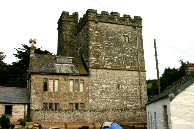
Wheal Grey
Wheal Grey — a historic house in england-south-west, United Kingdom.
 📷 5
📷 5Stately homes · South West England
Pengersick Castle
Pengersick Castle — Grade I listed manor house in Breage, United Kingdom.
 📷 5
📷 5Caravan parks · South West England
Praa Sands Holiday Park
Praa Sands Holiday Park — a caravan park in england south west.
 📷 5
📷 5Historic churches · South West England
Balwest
Balwest (Cornish: Bal West, meaning Western mine) is a hamlet in the civil parish of Germoe in west Cornwall, England, in the United Kingdom. The hamlet is on the southern edge of a former mining area
 📷 5
📷 5Campsites · South West England
The Old Farm
The Old Farm — a campsite in england south west.
Where to eat & stay near Germoe
Places to stay
📷 5Caravan parks · South West England
Praa Sands Holiday Park
Praa Sands Holiday Park — a caravan park in england south west.
📷 5Campsites · South West England
The Old Farm
The Old Farm — a campsite in england south west.
 📷 5
📷 5Campsites · South West England
Trem
Trem — a campsite in england south west.
 📷 5
📷 5Campsites · South West England
Higher Pentreath
Higher Pentreath — a campsite in england south west.
 📷 5
📷 5Campsites · South West England
Keneggy Cove Holiday Park
Keneggy Cove Holiday Park — a campsite in england south west.
 📷 3
📷 3Campsites · South West England
Dropped Anchor Camping Site
Dropped Anchor Camping Site — a campsite in england south west.
Places to eat & drink
 📷 5
📷 5Cafés · South West England
The Stables
The Stables — a café in england south west.
 📷 5
📷 5Restaurants · South West England
The Old Lifeboat House Bistro
The Old Lifeboat House Bistro — a restaurant in england south west. Cuisine: seafood.
 📷 3
📷 3Historic pubs · South West England
Seven Stars
Seven Stars — Historic pub — listed building or notable heritage status.
 📷 5
📷 5Historic pubs · South West England
Kings Arms
Kings Arms — Historic pub — listed building or notable heritage status.
 📷 5
📷 5Restaurants · South West England
Ming's Garden
Ming's Garden — a restaurant in england south west.
More castles in this region
 📷 5
📷 5Castles · South West England
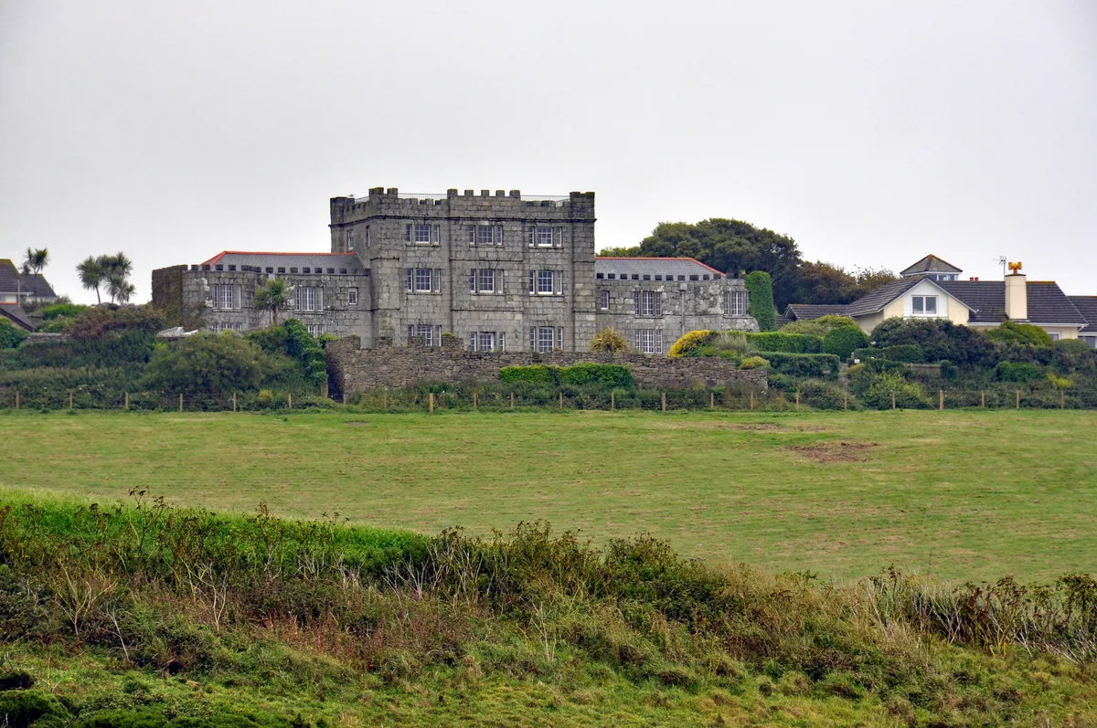
Acton Castle
Acton Castle — Cornish historic building.
 📷 5
📷 5Castles · South West England
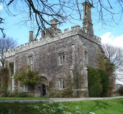
Affeton Castle
Affeton Castle — castle in East Worlington, Devon, England, UK.
 📷 5
📷 5Castles · South West England
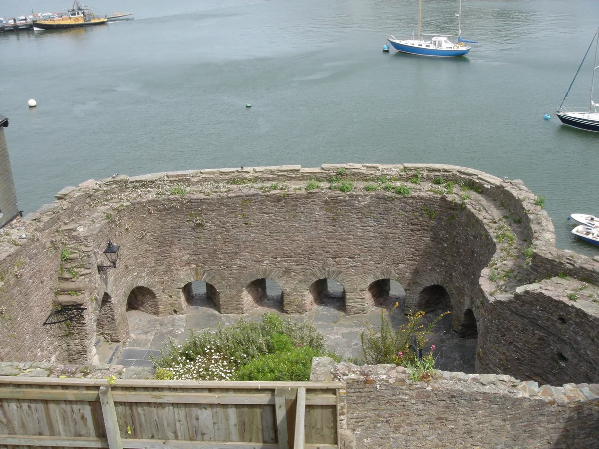
Bayard's Cove Fort
Bayard's Cove Fort — castle in Devon, England, UK.
 📷 5
📷 5Castles · South West England
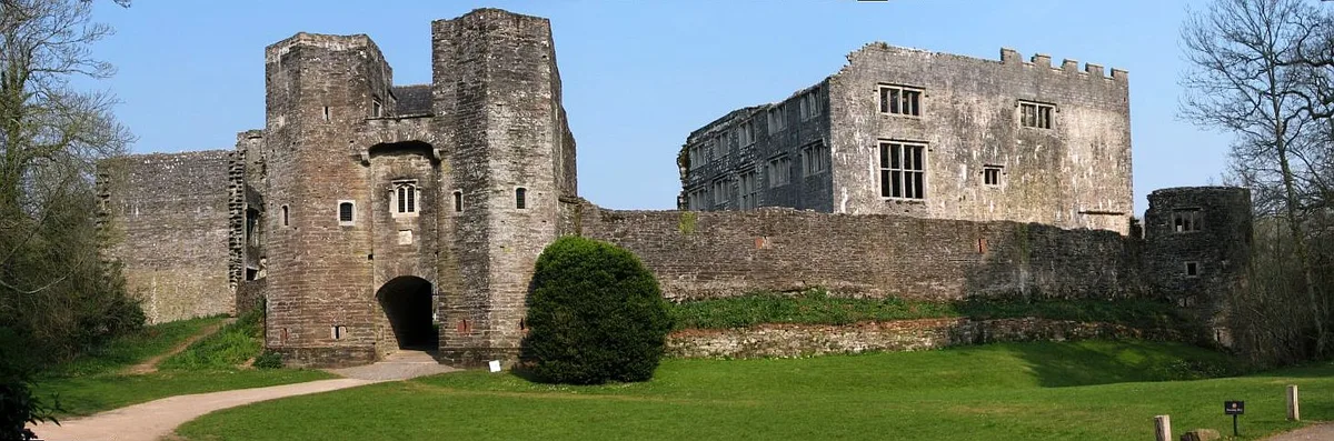
Berry Pomeroy Castle
Berry Pomeroy Castle — Grade I listed English country house in South Hams, United Kingdom.
Frequently asked questions
- Where is Germoe?
- Germoe is in South-West England, United Kingdom (postcode TR20 9QX), in the parish of Germoe.
- What is Germoe?
- Germoe (Cornish: Germogh) is a village and civil parish in Cornwall, England, United Kingdom. Germoe village, the parish's main settlement and church town, is about five miles (8.0 km) west of Helston
- How do I get to Germoe?
- Drivers can use postcode TR20 9QX.
- Does Germoe charge admission?
- Germoe typically charges admission. Check the official site for current ticket prices and opening hours.
- How do I get to Germoe?
- Drivers can navigate to postcode TR20 9QX. It sits within the St Ives parliamentary constituency.