Canals · East Midlands
Foss Dyke
Foss Dyke — Canal that connects the River Trent.

Wikimedia Commons contributors — see linked file page for photographer and licence licence
Plan your visit
- Typical visit
- 1 h–2 h
- Nearest railway station
- Saxilby · 6.7 km
- Free entry
- Dog-friendly
About
Foss Dyke is a canal in the United Kingdom. Wikidata describes it as: "Canal that connects the River Trent". Coordinates: 53.3000°, -0.7500°.
Photo gallery
From the Wikipedia article
The Foss Dyke, or Fossdyke, connects the River Trent at Torksey to Lincoln, the county town of Lincolnshire, and may be the oldest canal in England that is still in use. It is usually thought to have been built around AD 120 by the Romans, but there is no consensus among authors. It was refurbished in 1121, during the reign of King Henry I, and responsibility for its maintenance was transferred to the city of Lincoln by King James I. Improvements made in 1671 included a navigable sluice or lock at Torksey, and warehousing and wharves were built at Brayford Pool in the centre of Lincoln. Connection to the River Witham at Brayford was hampered by the small bore and depth of High Bridge, a medieval structure just below the pool. The channel through it was made deeper in 1795, but John Rennie's plans to demolish it in 1803 were not adopted. The canal was leased to several generations of the Ellison family, who profited from the tolls but failed to maintain it. Although cargoes of coal and wool moved to the railway, the carriage of grain continued, and the last commercial operation was in 1972. The Brayford Mere Trust have turned Brayford Pool into a marina, and the Lincolnshire Waterways Partnership are opening a footpath and cycleway from Lincoln to Torksey; the section to Saxilby was officially opened on 26 July 2011.
Excerpt from Wikipedia under CC BY-SA 4.0. See the source article linked in Sources below.
Background
History
The Foss Dyke was long thought to have been constructed by the Romans around 120. Pointers include an inscribed statuette of the god Mars found in it at Torksey, which is now in the British Museum, but there is a lack of consensus among authors writing on the subject. The first record of it comes from Symeon of Durham, whose Historia Regium notes the following for the year 1121: Some take this to mean that the canal did not exist before Henry's construction work. Thus Kevin Leahy writes: Others, though, consider that Henry I merely scoured out an existing structure; Mark Bennett, writing for the East Midlands Archaeological Research Framework says: The canal is about 11 mi long. It possibly…
Sourced from Wikipedia under CC BY-SA 4.0.
- Coordinates
- 53.3000, -0.7500
- County
- Lincolnshire
- District
- West Lindsey
- Parish
- Torksey
- Postcode
- LN1 2YZ
- Parliamentary constituency
- Gainsborough
- Nearest railway station
- Saxilby — 6.7 km
Sources
- wikidata: Q1412149 (CC0)
- wikipedia: Foss Dyke (CC BY-SA 4.0)
- commons: Lincoln-BrayfordPool.jpg (CC BY-SA 4.0)
Other places nearby
Loading nearby places…
Nearby
 📷 4
📷 4Stately homes · East Midlands
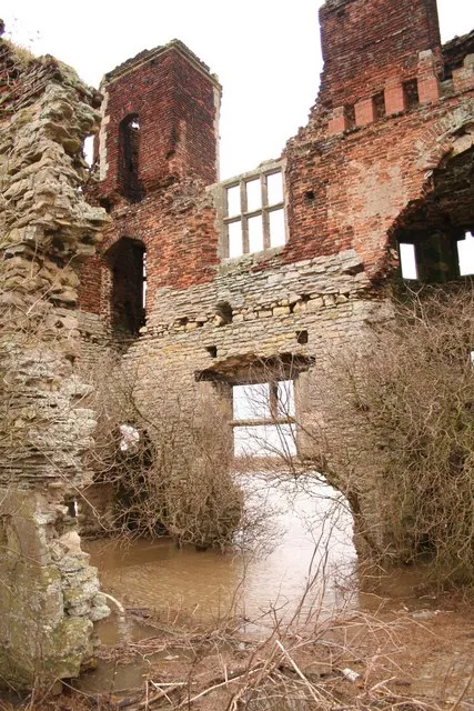
Torksey Castle
Torksey Castle — manor house in Torksey, West Lindsey, Lincolnshire, England, UK.
 📷 3
📷 3Towns & cities · East Midlands
Torksey
Torksey — village and civil parish in Lincolnshire, England, UK.
Caravan parks · East Midlands
The Elms
The Elms — a caravan park in england east midlands.
Caravan parks · East Midlands
Little London Park
Little London Park — a caravan park in england east midlands.
 📷 5
📷 5Historic churches · East Midlands
Brampton, Lincolnshire
Brampton, Lincolnshire — a church in england-east-midlands, United Kingdom.
Campsites · East Midlands
Trentfield Farm
Trentfield Farm — a campsite in england east midlands.
More places in this region
 📷 5
📷 5Canals · East Midlands
Black Sluice
Black Sluice is a canal in the United Kingdom.
 📷 3
📷 3Canals · East Midlands
Bond End Canal
Bond End Canal — canal in Staffordshire, England, 1775–1874.
 📷 3
📷 3Canals · East Midlands
Catchwater Drain
Catchwater Drain — artificial watercourse in Lincolnshire, England.
 📷 3
📷 3Canals · East Midlands
Charnwood Forest Canal
Charnwood Forest Canal is a canal in the United Kingdom.
Frequently asked questions
- Where is Foss Dyke?
- Foss Dyke is in Lincolnshire, the East Midlands, United Kingdom (postcode LN1 2YZ), in the parish of Torksey.
- Is Foss Dyke free to visit?
- Yes, Foss Dyke is free to enter.
- How do I get to Foss Dyke?
- The nearest railway station is Saxilby, about 6.7 km away. Drivers can navigate to postcode LN1 2YZ.