
Battlefields & battle sites · Central Scotland
Forest of Mamlorn
In or near Crianlarich.
Forest of Mamlorn in Scotland Central, United Kingdom.

Alan O'Dowd — CC BY-SA 2.0 via Wikimedia Commons licence

Plan your visit
- Typical visit
- 1 h–2 h
- Nearest railway station
- Upper Tyndrum · 8.1 km
- Free entry
- Dog-friendly
About
Forest of Mamlorn is a registered historic battlefield in Scotland Central, United Kingdom. Britain's battlefields range from the medieval clashes of the Wars of the Roses to the Civil War sieges and the 1745 Jacobite Rising at Culloden — most are open landscapes with interpretive trails and battle-monument markers.
Photo gallery
Place summary
The Forest of Mamlorn is a historic battlefield located in central Scotland. It is notable for its significance in various military engagements, although specific details of these events are not provided. The area is a testament to Scotland's tumultuous history.
AI-generated from the structured facts on this page (operator, designation, listing, era). Not a substitute for visiting.
- Coordinates
- 56.4769, -4.5953
- Nearest railway station
- Upper Tyndrum — 8.1 km
Sources
- wikidata: Q24640916 (CC0)
Other places nearby
Sròn nan Eun
Mountains & hills · 0.7 km

Creag Mhor - Stob nan Clach
Mountains & hills · 1.6 km

Stob nan Clach
Mountains & hills · 1.6 km
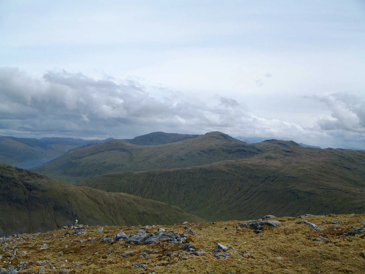
Creag Mhòr
Mountains & hills · 1.8 km
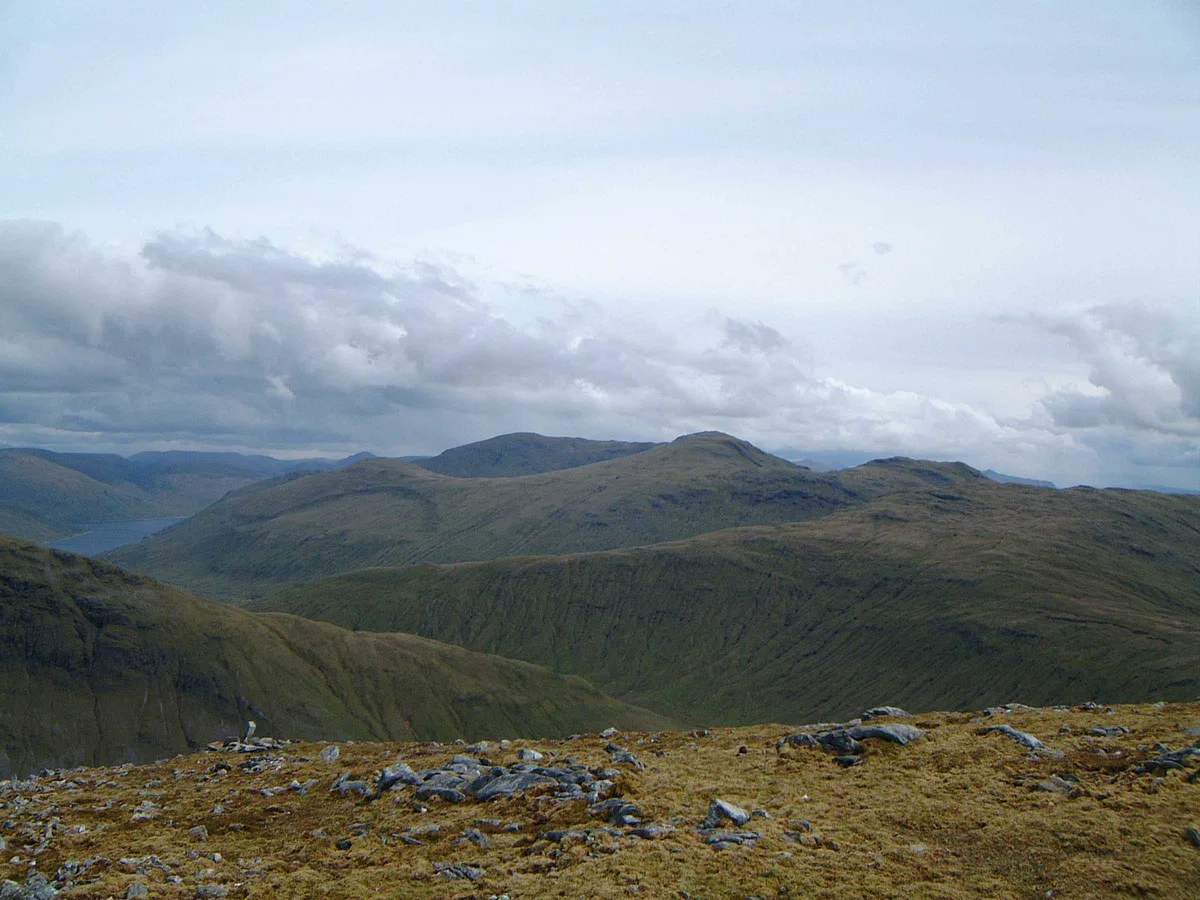
Creag Mhòr
Natural landmarks · 1.8 km
Creag Mhor
Mountains & hills · 1.8 km

Cam Chreag
Mountains & hills · 2.7 km

Stob an Fhir-Bhogha
Mountains & hills · 2.7 km
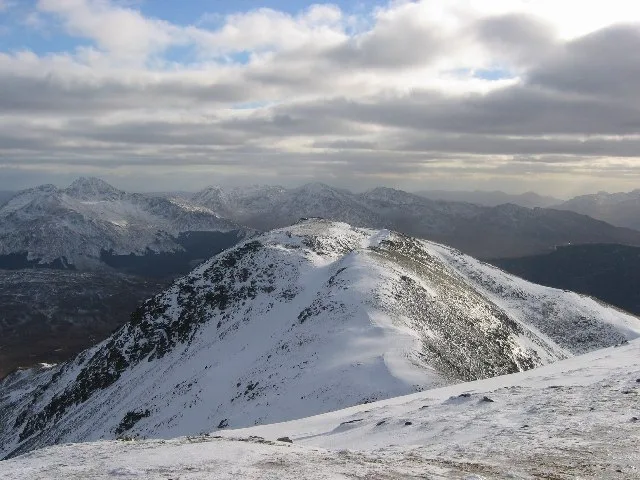
Beinn Chaluim
Mountains & hills · 2.9 km
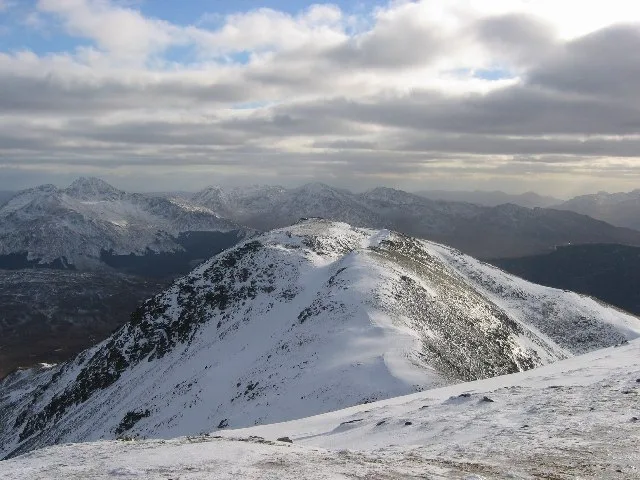
Beinn Challuim
Natural landmarks · 2.9 km

Herring Stone
Archaeological sites · 3.2 km

Meall Tionail
Mountains & hills · 3.3 km
Nearby
📷 5Mountains & hills · Central Scotland
Sròn nan Eun
Sròn nan Eun — mountain in scotland highlands. Elevation: 837 m.
📷 2Mountains & hills · Central Scotland
Creag Mhor - Stob nan Clach
Creag Mhor - Stob nan Clach — a mountain in scotland-highlands, United Kingdom.
📷 5Mountains & hills · Central Scotland
Stob nan Clach
Stob nan Clach — a hill or mountain in scotland highlands.
📷 3Mountains & hills · Central Scotland
Creag Mhòr
Creag Mhòr — Named summit at 1032 m.
📷 3Natural landmarks · Central Scotland
Creag Mhòr
Creag Mhòr — 1047m high mountain in Scotland.
📷 5Mountains & hills · Central Scotland
Creag Mhor
Creag Mhor — a hill or mountain in scotland highlands.
Where to eat & stay near Forest of Mamlorn
Places to stay
 📷 5
📷 5Campsites · Central Scotland
Strathfillan Wigwams
Strathfillan Wigwams — a campsite in scotland highlands.
 📷 5
📷 5Caravan parks · Central Scotland
Tyndrum Holiday Park
Tyndrum Holiday Park — a caravan park in scotland highlands.
 📷 5
📷 5Campsites · Central Scotland
By the Way
By the Way — a campsite in scotland highlands.
📷 5📷 5📷 5Places to eat & drink
 📷 5
📷 5Historic pubs · Central Scotland
The Drovers Inn
The Drovers Inn — Historic pub — listed building or notable heritage status.
More places in this region
 📷 2
📷 2Battlefields & battle sites · Central Scotland
Drummond Hill Forest
Drummond Hill Forest in Scotland Highlands, United Kingdom.
 📷 3
📷 3Battlefields & battle sites · Central Scotland
Birnam Wood
Birnam Wood in Scotland Highlands, United Kingdom.
 📷 4
📷 4Battlefields & battle sites · Central Scotland
Meikleour Beech Hedges
The Meikleour Beech Hedge(s) (European Beech, Fagus sylvatica), located near Meikleour, Perth and Kinross, Scotland, was planted in the autumn of 1745 by Jean Mercer and her husband Robert Murray Nair
 📷 4
📷 4Battlefields & battle sites · Central Scotland
HMS Cumberland
HMS Cumberland in Scotland Islands, United Kingdom.
Frequently asked questions
- Where is Forest of Mamlorn?
- Forest of Mamlorn is in central Scotland, United Kingdom.
- What is Forest of Mamlorn?
- Forest of Mamlorn in Scotland Central, United Kingdom.
- How do I get to Forest of Mamlorn?
- The nearest railway station is Upper Tyndrum, about 8.1 km away. Its coordinates are 56.4769°, -4.5953°.
- Is Forest of Mamlorn free to visit?
- Yes, Forest of Mamlorn is free to enter.