
Natural landmarks · Central Scotland
Creag Mhòr
Also known as: Creag Mhor (1047m)
In or near Bridge of Orchy.
Creag Mhòr — 1047m high mountain in Scotland.

Wikimedia Commons contributors — see linked file page for photographer and licence licence

Plan your visit
- Typical visit
- 1 h–2 h
- Nearest railway station
- Upper Tyndrum · 8.2 km
- Free entry
- Dog-friendly
Getting there & planning your visit
To visit Creag Mhòr in the Scottish Highlands, the nearest railway station is Upper Tyndrum, which is 8.2 km away. Entry to the site is free.
About
Creag Mhòr is a named natural landmark in the United Kingdom. Wikidata describes it as: "1047m high mountain in Scotland". Coordinates: 56.4895°, -4.6140°.
Photo gallery
Official information
Creag Mhòr is a prominent mountain located at the head of Glen Lochay, characterized by its steep-sided ridge. Visitors can access the area via a hydro track that runs along the glen, making it a popular spot for hiking and enjoying panoramic views from the summit.
From the Wikipedia article
Creag Mhòr is a mountain in the Breadalbane region of the Scottish Highlands. It is in the Forest of Mamlorn, ten kilometres northeast of Tyndrum, and is one of the remotest of the southern Highlands Creag Mhòr reaches a height of 1047 metres (3435 ft) and qualifies as a Munro and a Marilyn. It is often climbed with the neighbouring Munro of Beinn Heasgarnich; the two mountains form the high ground between Glen Lochay and Loch Lyon.
Excerpt from Wikipedia under CC BY-SA 4.0. See the source article linked in Sources below.
- Coordinates
- 56.4895, -4.6140
- Address
- Breadalbane, Scotland
- Nearest railway station
- Upper Tyndrum — 8.2 km
- Official site
- www.walkhighlands.co.uk
Sources
- wikidata: Q3399612 (CC0)
- wikipedia: Creag Mhòr (CC BY-SA 4.0)
- commons: Creag Mhor from the SW.jpg (CC BY-SA 4.0)
Other places nearby

Creag Mhor
Mountains & hills · 0.0 km
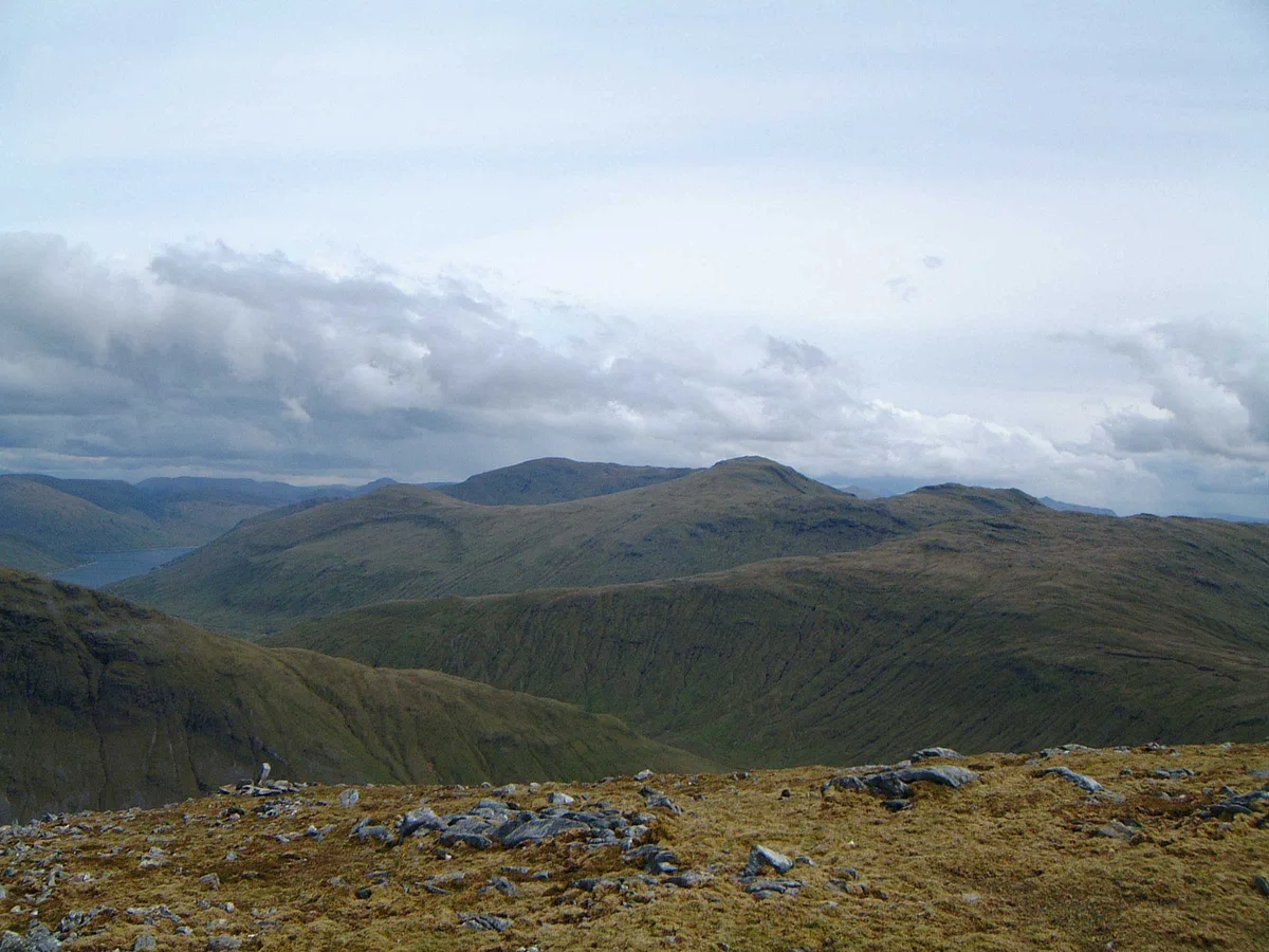
Creag Mhòr
Mountains & hills · 0.0 km
Stob nan Clach
Mountains & hills · 1.0 km

Creag Mhor - Stob nan Clach
Mountains & hills · 1.1 km

Sròn nan Eun
Mountains & hills · 1.4 km

Meall Tionail
Mountains & hills · 1.6 km
Forest of Mamlorn
Battlefields & battle sites · 1.8 km

Cam Chreag
Mountains & hills · 2.2 km

Stob an Fhir-Bhogha
Mountains & hills · 2.3 km
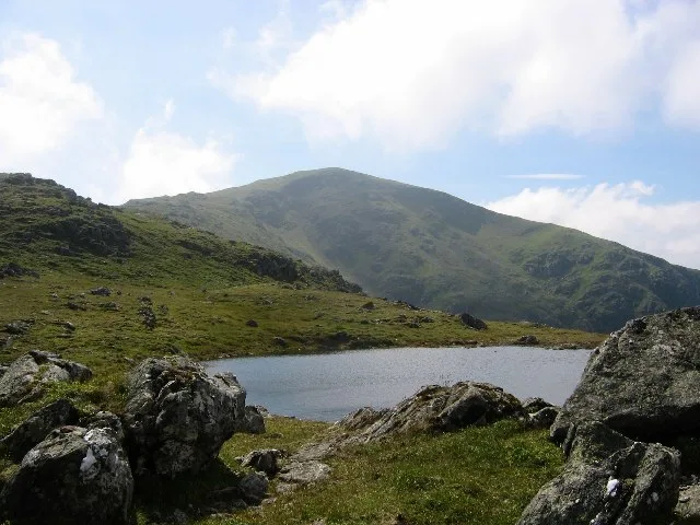
Beinn Heasgarnich
Mountains & hills · 3.1 km
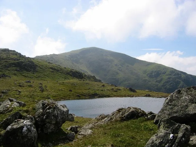
Beinn Heasgarnich
Natural landmarks · 3.1 km

Creag na h-Achlarich
Mountains & hills · 3.4 km
Nearby
📷 5Mountains & hills · Central Scotland
Creag Mhor
Creag Mhor — a hill or mountain in scotland highlands.
📷 3Mountains & hills · Central Scotland
Creag Mhòr
Creag Mhòr — Named summit at 1032 m.
📷 5Mountains & hills · Central Scotland
Stob nan Clach
Stob nan Clach — a hill or mountain in scotland highlands.
📷 5Mountains & hills · Central Scotland
Creag Mhor - Stob nan Clach
Creag Mhor - Stob nan Clach — a mountain in scotland-highlands, United Kingdom.
📷 5Mountains & hills · Central Scotland
Sròn nan Eun
Sròn nan Eun — mountain in scotland highlands. Elevation: 837 m.
Mountains & hills · Central Scotland
Meall Tionail
Meall Tionail — mountain in scotland highlands. Elevation: 895 m.
Where to eat & stay near Creag Mhòr
Places to stay
 📷 5
📷 5Campsites · Central Scotland
Strathfillan Wigwams
Strathfillan Wigwams — a campsite in scotland highlands.
 📷 5
📷 5Caravan parks · Central Scotland
Tyndrum Holiday Park
Tyndrum Holiday Park — a caravan park in scotland highlands.
 📷 5📷 5📷 5
Campsites · Central Scotland
By the Way
By the Way — a campsite in scotland highlands.
📷 5Places to eat & drink
 📷 5
📷 5Historic pubs · Central Scotland
The Drovers Inn
The Drovers Inn — Historic pub — listed building or notable heritage status.
More natural landmarks in this region
 📷 4
📷 4Natural landmarks · Central Scotland
Blackadder Water
Blackadder Water in England North East, United Kingdom.
 📷 3
📷 3Natural landmarks · Central Scotland
A6105 road
A6105 road in England North East, United Kingdom.
 📷 3
📷 3 📷 3
📷 3Frequently asked questions
- Where is Creag Mhòr?
- Creag Mhòr is in central Scotland, United Kingdom.
- What is Creag Mhòr?
- Creag Mhòr — 1047m high mountain in Scotland.
- How do I get to Creag Mhòr?
- The nearest railway station is Upper Tyndrum, about 8.2 km away. The nearest town is Bridge of Orchy. Its coordinates are 56.4895°, -4.6140°.
- Is Creag Mhòr free to visit?
- Yes, Creag Mhòr is free to enter.