
Mountains & hills · North Wales
Foel Fras
Also known as: Foel-fras
Foel Fras — Named summit at 942 m.

Wikimedia Commons contributors — see linked file page for photographer and licence licence

Plan your visit
- Typical visit
- 3 h–8 h
- Best time of year
- Late spring – early autumn (May–Oct)
- Nearest railway station
- Llanfairfechan · 7.2 km
- Free entry
- Dog-friendly
Getting there & planning your visit
To visit Foel Fras in North Wales, the nearest railway station is Llanfairfechan, which is 7.2 km away. Entry is free.
About
Foel Fras is a named summit in the United Kingdom. Wikidata describes it as: "Named summit at 942 m.". Coordinates: 53.1947°, -3.9526°.
Photo gallery
From the Wikipedia article
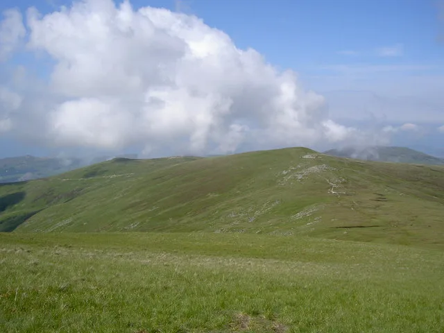
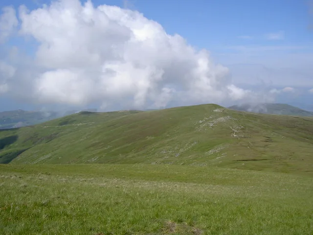
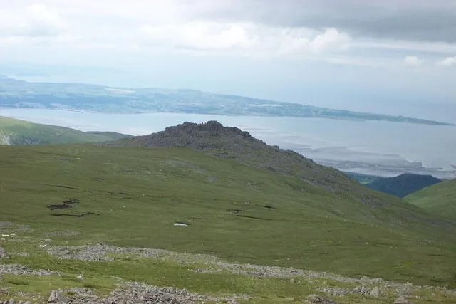
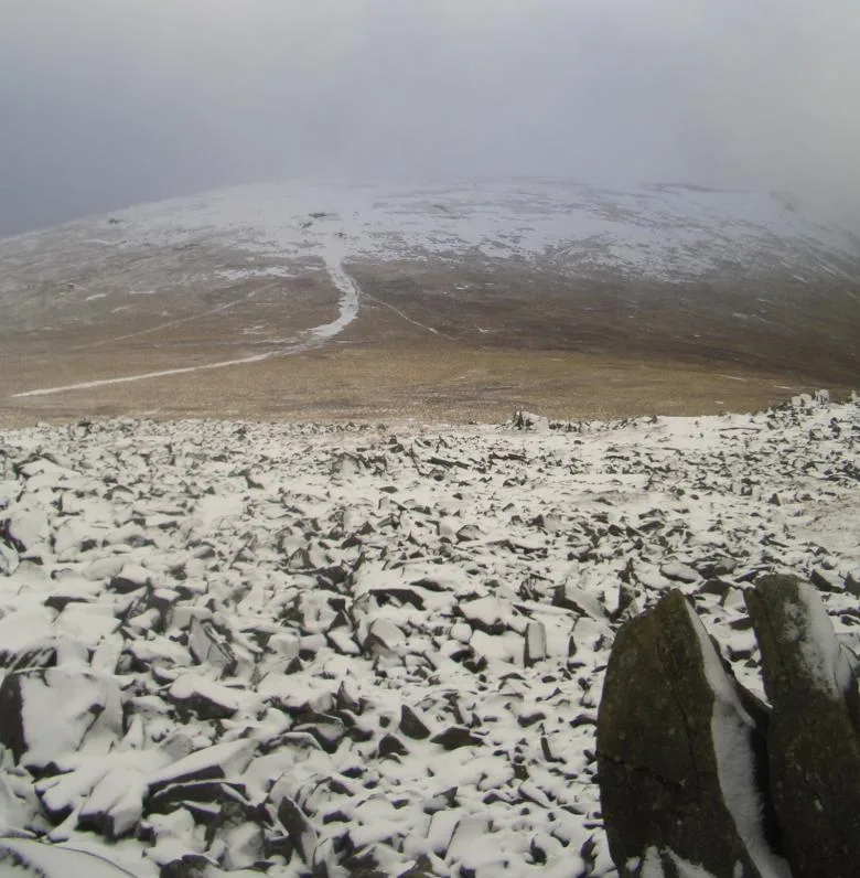
Foel-fras (944 m / 3,097 ft) is a mountain in the Carneddau range, about 10 km east of Bethesda in North Wales. It lies on the border between the counties of Gwynedd and Conwy. With a summit elevation of 944 metres (3,097 feet), it is officially the eleventh-highest summit in Wales. Foel-fras is located at the northern end of the main ridge of the Carneddau, between Drum to the north and Foel Grach to the south with the subsidiary summit of Garnedd Uchaf (925 m / 3,034 ft) between it and Foel Grach. Due south and 400 m below lies the reservoir of Llyn Dulyn, while the smaller reservoir of Llyn Anafon lies to the north. Because of its position, it is the first of the Welsh 3000s reached when doing this walk from the northern end. It can be climbed by driving up the small road signposted "Aber Falls" in the village of Abergwyngregyn, passing the car park for the falls and continuing to a small car park at the end of the road. From there it is possible to take the track bearing left, later turning right to the summit of Drum and continuing along the ridge, or to take the track leading straight on to Llyn Anafon and then climbing up to the ridge between Drum and Foel Fras. An alternate route up the mountain is to start at the Western end of the Bwlch-y-Ddeufaen pass and take the steep track up the side of Drosgyl, following the fence line all the way to where the ground levels off. Here the views open up and the fence changes direction, running off at almost a right angle to the Southeast (left). From here, follow a small track Southwest until it intersects the larger track previously mentioned - marked by a small quartz-peppered cairn - which will lead you to Drum. From Drum the walk to the summit of Foel Fras is simply parallel to the fence line, which changes into a dry stone wall as you are nearing the summit. Car parking is available at the Eastern end of the pass. The summit plateau has some ornithological interest in that it is one of the best places in Wales to…
Excerpt from Wikipedia under CC BY-SA 4.0. See the source article linked in Sources below.
- Coordinates
- 53.1947, -3.9526
- Address
- Snowdonia, Wales
- Nearest railway station
- Llanfairfechan — 7.2 km
Sources
- osm: n104406834 (ODbL)
- wikipedia: Foel-fras (CC BY-SA 4.0)
- commons: Llyn Anafon.jpg (CC BY-SA 4.0)
Featured in this guide
Other places nearby

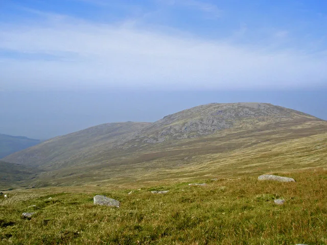
Foel-fras
Mountains & hills · 0.1 km
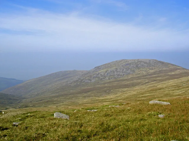
Llwytmor
Mountains & hills · 1.3 km
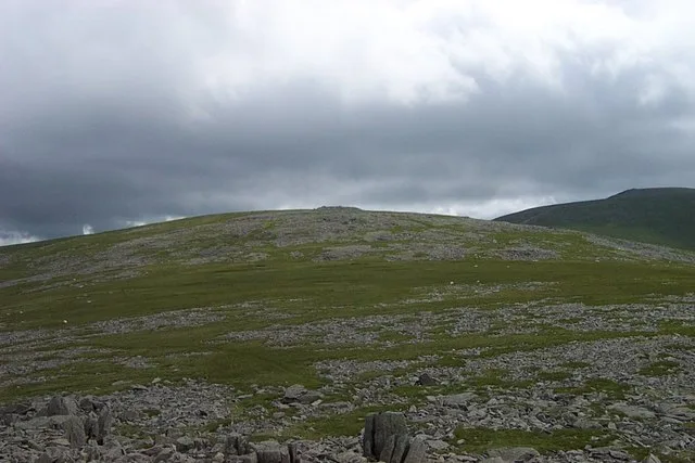
Llwytmor
Natural landmarks · 1.4 km
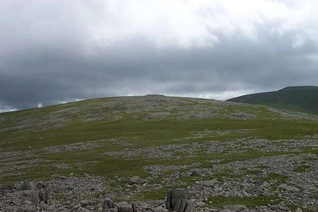
Garnedd Uchaf
Natural landmarks · 1.6 km
Carnedd Gwenllian
Mountains & hills · 1.6 km

Llyn Dulyn
Reservoirs & lochs · 1.7 km
Drum
Natural landmarks · 1.7 km

Yr Aryg
Mountains & hills · 1.8 km
Drum
Mountains & hills · 1.8 km

Foel Lwyd
Mountains & hills · 2.1 km
Bera Mawr
Mountains & hills · 2.2 km
Y Foel Grach
Mountains & hills · 2.4 km
Nearby
📷 5📷 3📷 3📷 3📷 3📷 5Where to eat & stay near Foel Fras
Places to stay
 📷 5
📷 5 📷 5
📷 5 📷 5
📷 5 📷 5
📷 5 📷 5
📷 5Campsites · North Wales
Cefn Cae Camping Site
Cefn Cae Camping Site — a campsite in wales north.
 📷 5
📷 5Places to eat & drink
 📷 7
📷 7Restaurants · North Wales
Tafarn Tryfan
Tafarn Tryfan — a restaurant in wales north.
 📷 7
📷 7 📷 7
📷 7 📷 5
📷 5Historic pubs · North Wales
The George and Dragon
The George and Dragon — Historic pub — listed building or notable heritage status.
 📷 7📷 7
More mountains in this region
 📷 5
📷 5Mountains & hills · North Wales
Cemlyn Bay and lagoon
Cemlyn Bay and lagoon — Site of Special Scientific Interest in Wales.
 📷 3
📷 3Mountains & hills · North Wales
Aberffraw Bay
Aberffraw Bay — bay on the west coast of Anglesey, in Wales, UK.
 📷 3
📷 3 📷 3
📷 3Mountains & hills · North Wales
Aran Benllyn
Aran Benllyn — Named summit at 884 m.
Frequently asked questions
- Where is Foel Fras?
- Foel Fras is in North Wales, United Kingdom.
- What is Foel Fras?
- Foel Fras — Named summit at 942 m.
- How do I get to Foel Fras?
- The nearest railway station is Llanfairfechan, about 7.2 km away. Its coordinates are 53.1947°, -3.9526°.
- Is Foel Fras free to visit?
- Yes, Foel Fras is free to enter.
- How do I get to Foel Fras?
- The nearest railway station is Llanfairfechan, about 7.2 km away.