
Mountains & hills · North Wales
Y Foel Grach
In or near Deiniolen.
Y Foel Grach — Named summit at 976 m.

Wikimedia Commons contributors — see linked file page for photographer and licence licence

Plan your visit
- Typical visit
- 3 h–8 h
- Best time of year
- Late spring – early autumn (May–Oct)
- Nearest railway station
- Llanfairfechan · 9.3 km
- Free entry
- Dog-friendly
Getting there & planning your visit
To visit Y Foel Grach, the nearest railway station is Llanfairfechan, which is 9.3 km away. Entry is free. There are no specific accessibility details provided.
About
Y Foel Grach is a named summit in the United Kingdom. Wikidata describes it as: "Named summit at 976 m.". Coordinates: 53.1741°, -3.9632°.
Photo gallery
From the Wikipedia article
Foel Grach is a mountain in the Carneddau range. It is the eighth-highest summit in Snowdonia as well as Wales, and is included in the Welsh 3000s. It is located on a broad ridge extending northwards from Carnedd Llewelyn to Carnedd Gwenllian (formerly Y Garnedd Uchaf) and Foel-fras. An emergency refuge has been built below the summit. Compared to the surrounding mountains, much deeper snow settles here due to its rather broad summit and high grassy slopes. On clear days the Isle of Man and even the Mourne Mountains in Northern Ireland can be seen from the summit.
Excerpt from Wikipedia under CC BY-SA 4.0. See the source article linked in Sources below.
- Coordinates
- 53.1741, -3.9632
- Address
- Conwy / Gwynedd, Wales
- Nearest railway station
- Llanfairfechan — 9.3 km
Sources
- osm: n9139815258 (ODbL)
- wikipedia: Foel Grach (CC BY-SA 4.0)
- commons: Grach1.jpg (CC BY-SA 4.0)
Other places nearby
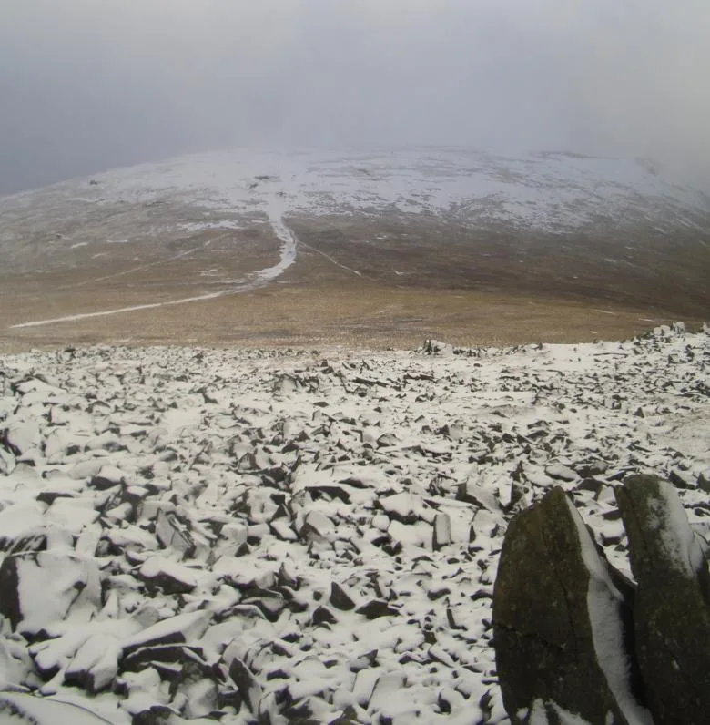
Foel Grach
Natural landmarks · 0.0 km
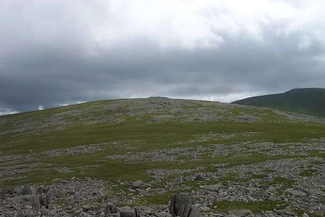
Carnedd Gwenllian
Mountains & hills · 1.0 km
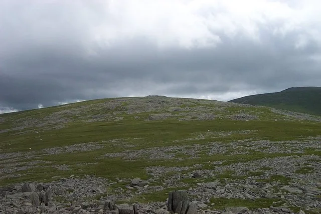
Garnedd Uchaf
Natural landmarks · 1.0 km

Llyn Melynllyn
Reservoirs & lochs · 1.3 km

Llyn Dulyn
Reservoirs & lochs · 1.3 km
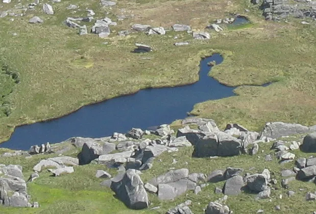
Llyn Llyffant
Natural landmarks · 1.4 km
Carnedd Llewelyn
Natural landmarks · 1.6 km
Carnedd Llewelyn
Mountains & hills · 1.6 km
Yr Elen
Mountains & hills · 1.7 km

Yr Aryg
Mountains & hills · 1.7 km

Amphitheatre Buttress
Climbing & bouldering crags · 2.2 km

Foel-fras
Mountains & hills · 2.3 km
Nearby
📷 3📷 3📷 3📷 3Reservoirs & lochs · North Wales
Llyn Melynllyn
Llyn Melynllyn — reservoir in Conwy County Borough, Wales, UK.
📷 5📷 3Natural landmarks · North Wales
Llyn Llyffant
Llyn Llyffant — lake in Conwy County Borough, Wales, UK.
Where to eat & stay near Y Foel Grach
Places to stay
 📷 5
📷 5Campsites · North Wales
Gwern Gof Uchaf Campsite
Gwern Gof Uchaf Campsite — a campsite in wales north.
 📷 5
📷 5 📷 5
📷 5Campsites · North Wales
Gwern Gôf Isaf Campsite & Bunkhouses
Gwern Gôf Isaf Campsite & Bunkhouses — a campsite in wales north.
 📷 5
📷 5Campsites · North Wales
Ogwen Bank Holiday Park & Country Club
Ogwen Bank Holiday Park & Country Club — a campsite in wales north.
 📷 5
📷 5 📷 5
📷 5Places to eat & drink
 📷 7
📷 7Restaurants · North Wales
Tafarn Tryfan
Tafarn Tryfan — a restaurant in wales north.
 📷 5
📷 5 📷 7
📷 7 📷 7
📷 7 📷 5
📷 5Historic pubs · North Wales
The George and Dragon
The George and Dragon — Historic pub — listed building or notable heritage status.
 📷 7
📷 7More mountains in this region
 📷 5
📷 5Mountains & hills · North Wales
Cemlyn Bay and lagoon
Cemlyn Bay and lagoon — Site of Special Scientific Interest in Wales.
 📷 3
📷 3Mountains & hills · North Wales
Aberffraw Bay
Aberffraw Bay — bay on the west coast of Anglesey, in Wales, UK.
 📷 3
📷 3 📷 3
📷 3Mountains & hills · North Wales
Aran Benllyn
Aran Benllyn — Named summit at 884 m.
Frequently asked questions
- Where is Y Foel Grach?
- Y Foel Grach is in North Wales, United Kingdom.
- What is Y Foel Grach?
- Y Foel Grach — Named summit at 976 m.
- How do I get to Y Foel Grach?
- The nearest railway station is Llanfairfechan, about 9.3 km away. Its coordinates are 53.1741°, -3.9632°.
- Is Y Foel Grach free to visit?
- Yes, Y Foel Grach is free to enter.