
Mountains & hills · South Wales
Fan Gyhirych
Fan Gyhirych — Named summit at 725 m.

Wikimedia Commons contributors — see linked file page for photographer and licence licence
Plan your visit
- Typical visit
- 3 h–8 h
- Best time of year
- Late spring – early autumn (May–Oct)
- Free entry
- Dog-friendly
About
Fan Gyhirych is a named summit in the United Kingdom. Wikidata describes it as: "Named summit at 725 m.". Coordinates: 51.8590°, -3.6270°.
Photo gallery
From the Wikipedia article
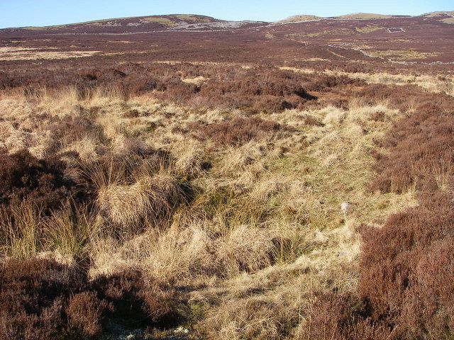
Fan Gyhirych is a mountain in the Fforest Fawr section of Brecon Beacons National Park in south Wales. It lies within the county of Breconshire, and administered as part of the unitary authority of Powys. Its highest point at 2379 feet (or 725 m) is marked by a trig point which is located towards the western side of the summit plateau. The hill drains to the north into the catchment of the Afon Crai and to the south and west into that of the River Tawe. Fan Fraith is a nearby hill which can be considered a subsidiary top of Fan Gyhirych.
Excerpt from Wikipedia under CC BY-SA 4.0. See the source article linked in Sources below.
Background
History
Along the lower western flanks of the hill, entrepreneur John Christie ran the Brecon Forest Tramroad in the early part of the nineteenth century. Two lines of this can be seen to diverge from near their crossing of the Nant Gyhirych on the northern side of the hill. Subsequently, the Neath and Brecon Railway was constructed following the lower tramway route in part. This line closed in the 1960s.
Visiting
The entire hill is open country giving walkers the freedom to wander at will though most choose to use a vehicular track which ascends its broad south ridge and skirts the summit area to head down the hill's broad eastern ridge.
Sourced from Wikipedia under CC BY-SA 4.0.
- Coordinates
- 51.8590, -3.6270
- Address
- Powys, Wales
Sources
- osm: n1537168633 (ODbL)
- wikipedia: Fan Gyhirych (CC BY-SA 4.0)
- commons: Fangyhirych.JPG (CC BY-SA 4.0)
Other places nearby
Loading nearby places…
Nearby
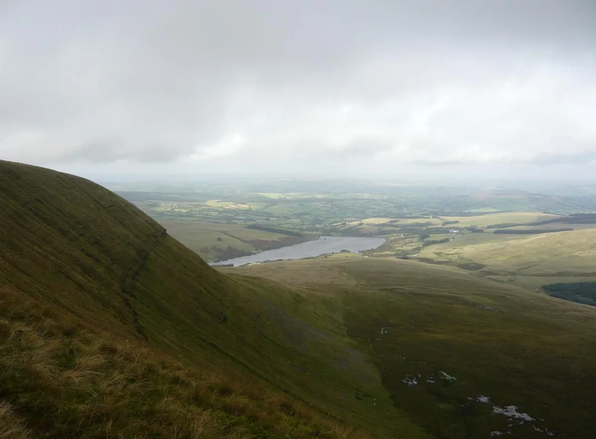 📷 3
📷 3Natural landmarks · South Wales
Fan Gyhirych
Fan Gyhirych — mountain (725m) in Powys, Wales.
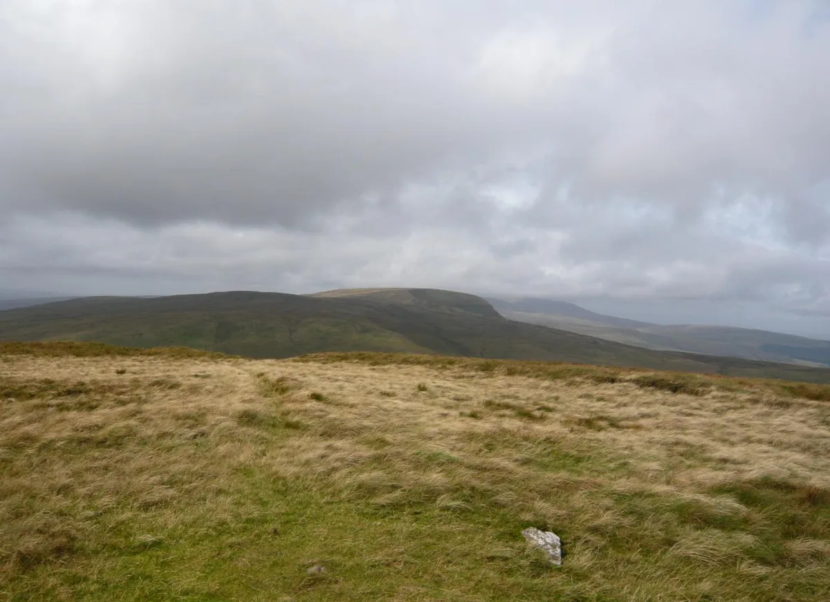 📷 3
📷 3Mountains & hills · South Wales
Fan Fraith
Fan Fraith — Named summit at 668 m.
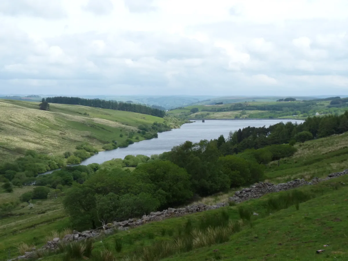 📷 4
📷 4Reservoirs & lochs · South Wales
Crai Reservoir
Crai Reservoir — reservoir in Powys, Wales, UK.
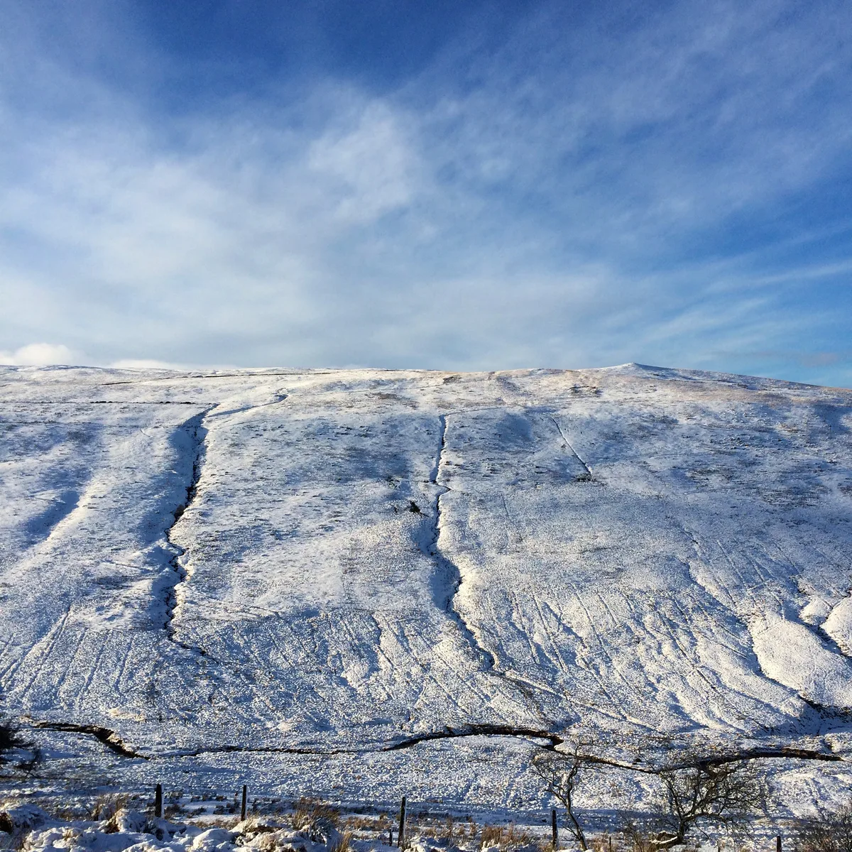 📷 3
📷 3Mountains & hills · South Wales
Cefn Cul
Cefn Cul — Named summit at 552 m.
 📷 3
📷 3Mountains & hills · South Wales
Cefn Cul [Waun Leuci]
Cefn Cul [Waun Leuci] — a mountain in wales-south, United Kingdom, 562 m.
 📷 4
📷 4Caves · South Wales
Pant Mawr Pot
Pant Mawr Pot — a cave broad in wales-south, United Kingdom.
Where to eat & stay near Fan Gyhirych
Places to stay
 📷 5
📷 5Campsites · South Wales
Tafarn-y-Garreg
Tafarn-y-Garreg — a campsite in wales south.
 📷 5
📷 5Campsites · South Wales
Brecon Beacons Camping & Caravan Park
Brecon Beacons Camping & Caravan Park — a campsite in wales south.
 📷 5
📷 5Campsites · South Wales
Cae Glas Camping
Cae Glas Camping — a campsite in wales south.
 📷 5
📷 5Campsites · South Wales
Brecon Beacons Caravan Touring Park
Brecon Beacons Caravan Touring Park — a campsite in wales south.
 📷 5
📷 5Campsites · South Wales
The New Inn
The New Inn — a campsite in wales south.
 📷 5
📷 5Campsites · South Wales
Bryn Bwch
Bryn Bwch — a campsite in wales south.


More mountains in this region
 Flagship📷 3
Mountains & hills · South Wales
Milford Haven Waterway
Milford Haven Waterway — ria, or flooded valley, in Pembrokeshire, south-west Wales, UK.
 📷 5
📷 5Mountains & hills · South Wales
Ogof Ffynnon Ddu
Ogof Ffynnon Ddu — cave in the Upper Swansea Valley in South Wales.
 📷 3
📷 3Mountains & hills · South Wales
Abereiddi Bay
Abereiddi Bay — bay in the United Kingdom.
 📷 3
📷 3Mountains & hills · South Wales
Allt Lwyd
Allt Lwyd — Named summit at 653 m.
Frequently asked questions
- Where is Fan Gyhirych?
- Fan Gyhirych is in South Wales, United Kingdom.
- What is Fan Gyhirych?
- Fan Gyhirych — Named summit at 725 m.
- How do I get to Fan Gyhirych?
- Its coordinates are 51.8590°, -3.6270°.
- Is Fan Gyhirych free to visit?
- Yes, Fan Gyhirych is free to enter.