
Mountains & hills · South West England
Dundry Down
In or near Winford.
Dundry Down — Named summit at 223 m.

Wikimedia Commons contributors — see linked file page for photographer and licence licence

Plan your visit
- Typical visit
- 3 h–8 h
- Best time of year
- Late spring – early autumn (May–Oct)
- Nearest railway station
- Parson Street · 4.2 km
- Free entry
- Dog-friendly
Getting there & planning your visit
To visit Dundry Down, the nearest railway station is Parson Street, located 4.2 km away. Entry is free, and the postcode for sat-nav is BS41 8NA.
About
Dundry Down is a named summit in the United Kingdom. Wikidata describes it as: "Named summit at 223 m.". Coordinates: 51.3961°, -2.6198°.
Photo gallery
See it from the streetimagery from 2019
Imagery © Mapillary contributors, CC BY-SA 4.0
Protected designations
- Site of Special Scientific Interest: Severn Estuary SSSI
Designations sourced from Natural England open data under OGL v3.
From the Wikipedia article
Dundry Hill is immediately south of Bristol, England: it includes farmland, a small number of houses and a church. It stretches east–west for some 2 miles (3 km). Most of the hill is within the district of North Somerset. At the hill's eastern end the southern slopes are within Bath and North East Somerset, and the northern slopes are within the city and county of Bristol, including the highest point in that county. The village of Dundry, with its prominent church, is near the summit. At the eastern end is Maes Knoll, near Norton Malreward, an Iron Age hillfort and the start of Wansdyke. To the South lies the Chew Valley. On the western side of the hill is a spring which becomes the Land Yeo. Dundry Main Road South Quarry is a 0.7 hectare geological Site of Special Scientific Interest near the village of East Dundry, because of the number of fossils in the inferior oolite. The Main Road Quarry exposes a fine section in the Middle and Upper Inferior Oolite, with the rocks lying stratigraphically below them visible at Barns Batch Spinney. The former characterised by a typically southern English-Normandy fauna, including the rich ammonite occurrences of the "Brown iron-shot", and the latter by contrasting faunas of Cotswold aspect. This contrast is direct evidence for movements of the Mendip Axis in Middle Jurassic times, making this an outstanding site for its bearing on studies of palaeogeography.
Excerpt from Wikipedia under CC BY-SA 4.0. See the source article linked in Sources below.
- Coordinates
- 51.3961, -2.6198
- District
- North Somerset
- Parish
- Dundry
- Postcode
- BS41 8NA
- Parliamentary constituency
- North Somerset
- Nearest railway station
- Parson Street — 4.2 km
Sources
- osm: n318908009 (ODbL)
- wikipedia: Dundry Hill (CC BY-SA 4.0)
- commons: Geograph 2141776 Dundry trig point and church.jpg (CC BY-SA 4.0)
Other places nearby

Bristol View Glamping
Campsites · 0.4 km

New Down
Mountains & hills · 0.6 km
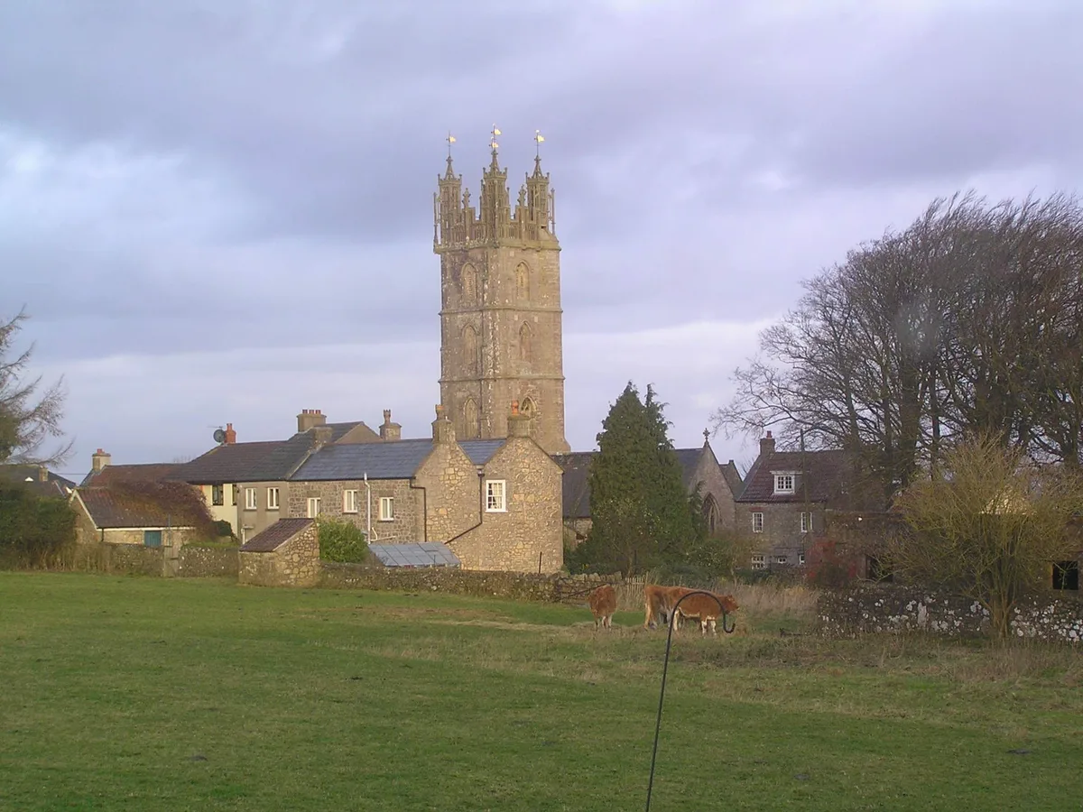
Church of St Michael, Dundry
Historic churches · 1.3 km

Dundry Down
Mountains & hills · 1.6 km
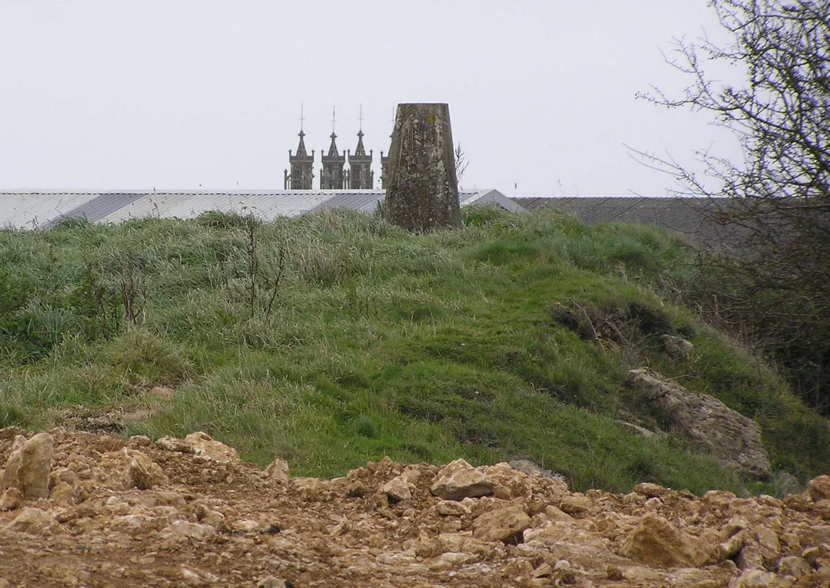
Dundry Hill
Mountains & hills · 1.7 km

Bishopsworth
Historic churches · 2.1 km
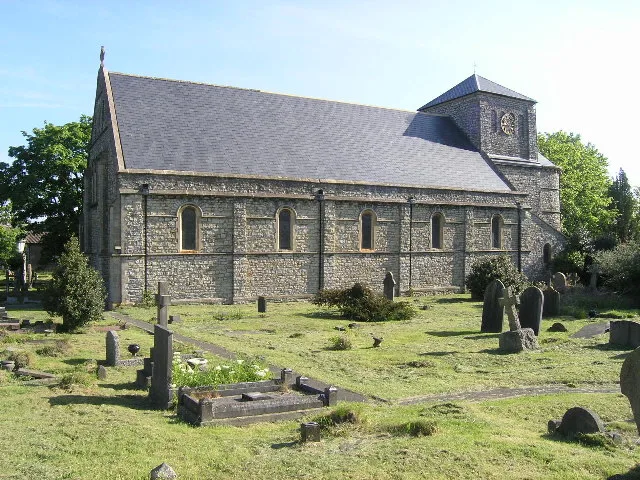
St Peters Church, Bishopsworth
Historic churches · 2.1 km

Chew Hill
Mountains & hills · 2.2 km
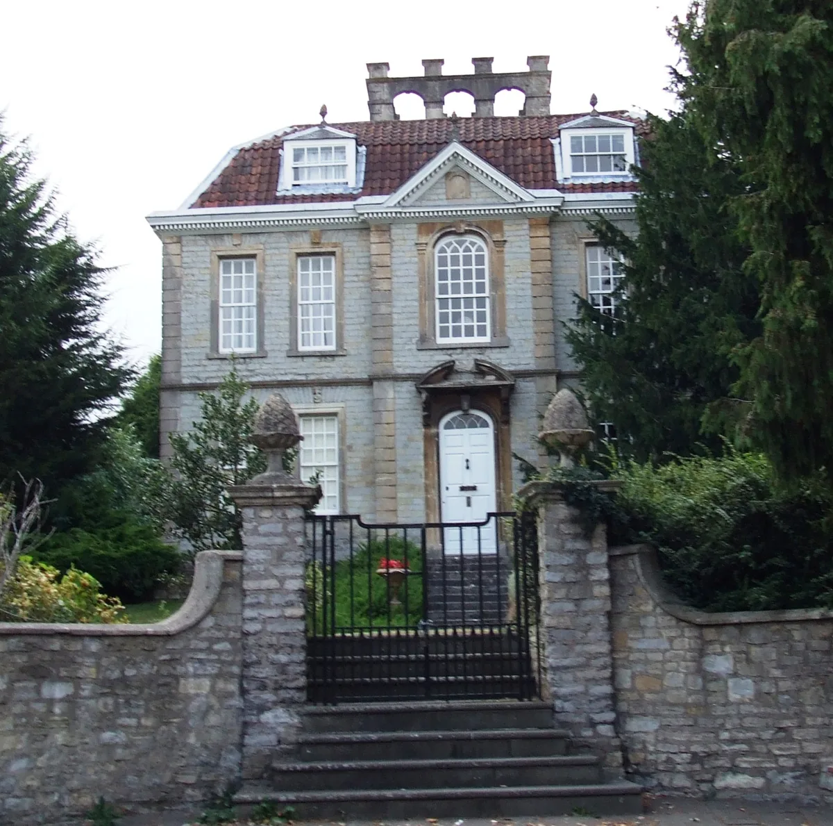
Bishopsworth Manor And Attached Walls And Piers
Stately homes · 2.4 km

Chew Valley Animal Park
Zoos & aquariums · 2.4 km

Hartcliffe City Farm
Farms (open to visitors) · 2.5 km

Maes Knoll Tump
Mountains & hills · 2.9 km
Nearby
📷 5Campsites · South West England
Bristol View Glamping
Bristol View Glamping — a campsite in wales south.
📷 5Mountains & hills · South West England
New Down
New Down — mountain in wales south. Elevation: 196 m.
📷 5Historic churches · South West England
Church of St Michael, Dundry
Church of St Michael, Dundry — church in Dundry, Somerset, England, UK.
📷 5📷 3📷 5Historic churches · South West England
Bishopsworth
Bishopsworth is a suburban neighbourhood and electoral ward of the city of Bristol. It is located in the south of the city and has a high proportion of council housing. Local facilities include shops
Where to eat & stay near Dundry Down
Places to stay
📷 5Campsites · South West England
Bristol View Glamping
Bristol View Glamping — a campsite in wales south.
 📷 5
📷 5 📷 7
📷 7B&Bs · South West England
Clift Guest House
Clift Guest House — a bed-and-breakfast in wales south.
 📷 5
📷 5Campsites · South Wales
Walnut Tree Farm Camping
Walnut Tree Farm Camping — a campsite in wales south.
 📷 7
📷 7 📷 5
📷 5Hotels · South West England
Ibis Bristol Centre
Ibis Bristol Centre — a hotel in wales south.
Places to eat & drink
 📷 5
📷 5 📷 7
📷 7Historic pubs · South West England
Nova Scotia
Nova Scotia in Wales South, United Kingdom.
 📷 7
📷 7Historic pubs · South West England
Pump House, Bristol
Pump House, Bristol in Wales South, United Kingdom.
 📷 5
📷 5Historic pubs · South West England
The Louisiana Public House
The Louisiana Public House in Wales South, United Kingdom.
 📷 3
📷 3Historic pubs · South West England
Grain Barge
Grain Barge — Historic pub — listed building or notable heritage status.
 📷 5
📷 5More mountains in this region
 📷 5
📷 5 📷 5
📷 5 📷 5
📷 5 📷 5
📷 5Frequently asked questions
- Where is Dundry Down?
- Dundry Down is in South-West England, United Kingdom (postcode BS41 8NA), in the parish of Dundry.
- What is Dundry Down?
- Dundry Down — Named summit at 223 m.
- How do I get to Dundry Down?
- The nearest railway station is Parson Street, about 4.2 km away. The nearest town is Winford. Drivers can use postcode BS41 8NA.
- Is Dundry Down a protected site?
- Yes — Dundry Down is part of the Severn Estuary SSSI Site of Special Scientific Interest.
- Is Dundry Down free to visit?
- Yes, Dundry Down is free to enter.
- How do I get to Dundry Down?
- The nearest railway station is Parson Street, about 4.2 km away. Drivers can navigate to postcode BS41 8NA.