
Historic bridges · South West England
Dry Arch Bridge 300yds (270m) NE of St Giles' Church
In or near Welsh Bicknor.
Dry Arch Bridge 300yds (270m) NE of St Giles' Church — scheduled monument-listed bridge in wales-south, United Kingdom.

Gordon Hatton — CC BY-SA 2.0 via Wikimedia Commons licence

Plan your visit
- Typical visit
- 15 min–30 min
- Nearest railway station
- Rookwood · 9.4 km
- Free entry
- Dog-friendly
Getting there & planning your visit
To visit Dry Arch Bridge, the nearest railway station is Rookwood, located 9.4 km away. Entry to the bridge is free. The postcode for navigation is HR9 6HY.
About
Dry Arch Bridge 300yds (270m) NE of St Giles' Church is a scheduled monument-listed bridge in wales-south, United Kingdom, registered on the National Heritage List for England (NHLE entry 1005349). Listed status protects buildings and structures of special architectural or historic interest. See the linked Wikipedia article for further details.
Photo gallery
See it from the streetimagery from 2024
Imagery © Mapillary contributors, CC BY-SA 4.0
Heritage listing
Dry Arch Bridge in Goodrich, Herefordshire, England, built in 1828, is one of the earliest examples of a bridge built specifically to carry a minor road across a more major one without the need for a road junction. It was constructed to carry the existing old road between Goodrich and Welsh Bicknor over a cutting for a new-built road connecting Kerne Bridge with Goodrich. It was built with a single span, using local sandstone, at least some of which came from the cutting beneath the bridge.
From the Historic England List Entry under OGL v3.
Protected designations
- Site of Special Scientific Interest: River Wye SSSI
- Area of Outstanding Natural Beauty: Wye Valley
Designations sourced from Natural England open data under OGL v3.
From the Wikipedia article
Dry Arch Bridge in Goodrich, Herefordshire, England, built in 1828, is one of the earliest examples of a bridge built specifically to carry a minor road across a more major one without the need for a road junction. It was constructed to carry the existing old road between Goodrich and Welsh Bicknor over a cutting for a new-built road connecting Kerne Bridge with Goodrich. It was built with a single span, using local sandstone, at least some of which came from the cutting beneath the bridge. It was also constructed to allow pedestrians to cross from one road to the other three-dimensionally without a lengthy diversion.
Excerpt from Wikipedia under CC BY-SA 4.0. See the source article linked in Sources below.
Background
History
An Act of Parliament in May 1825 allowed for the building of a road bridge over the River Wye at the hamlet now called Kerne Bridge but then known as The Kerne, in Herefordshire. The bridge was to connect the 1749 turnpike from Ross-on-Wye to The Kerne (now the B4234), on the left bank of the river, to Goodrich on the right bank. The Act required a new road to be constructed, leading from the bridge and past Flanesford Priory, to Goodrich. The company advertised again in June 1827 for tenders for building the new road following the plans, sections and specifications laid out by the company.
Description
Work started soon after June 1827. Some of the stone from which the bridge is built was from the spoil extracted when the cutting beneath the bridge was being made. This stone is thought to have been used mainly as rubble infill. Both abutments were built onto the prominent large sandstone rocks which are found in the area. The bridge parapets are topped with semicircular coping stones. Since the bridge was built remedial works have been carried out on the structure. Anchor plates are visible above the arch on each side, connected to tie rods, for structural reinforcement against lateral bowing. The road which passes beneath the bridge is now designated the B4229.
Sourced from Wikipedia under CC BY-SA 4.0.
- Coordinates
- 51.8699, -2.6182
- District
- Herefordshire, County of
- Parish
- Goodrich
- Postcode
- HR9 6HY
- Parliamentary constituency
- Hereford and South Herefordshire
- Nearest railway station
- Rookwood — 9.4 km
Sources
- wikidata: Q17642128 (CC0)
- wikipedia: Dry Arch Bridge (Goodrich, Herefordshire) (CC BY-SA 4.0)
Other places nearby

Goodrich
Villages · 0.1 km

Goodrich, Herefordshire
Museums · 0.1 km

Goodrich War Memorial
Memorials & monuments · 0.2 km

Fisher Monument Approximately 10 Metre North-East Of East End Of Church Of St Giles
Memorials & monuments · 0.3 km
Harper Monument Approximately 10 Metres South-East Of Chancel Of Church Of St Giles
Memorials & monuments · 0.3 km

Gritton Monument approximately 30 metres south-west of west tower of Church of St Giles
Memorials & monuments · 0.4 km

Kerne Bridge
Historic bridges · 0.5 km
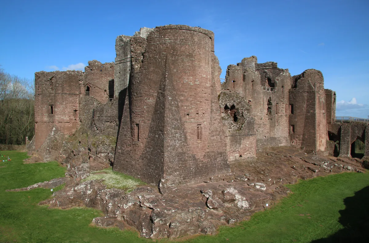
Goodrich Castle
Castles · 0.8 km

Coppett Hill Butterfly Site
Zoos & aquariums · 0.8 km
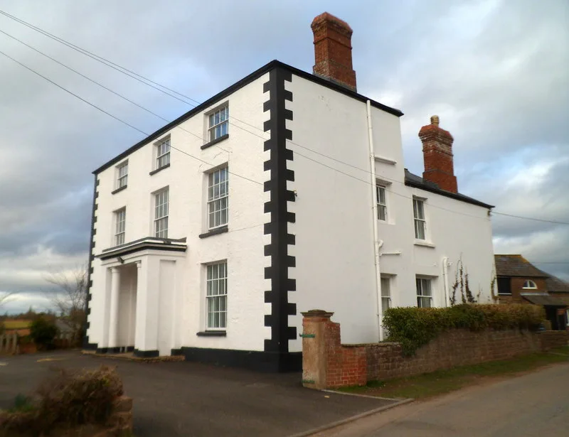
Goodrich Manor
Stately homes · 0.8 km

Coppett Hill
Mountains & hills · 1.1 km
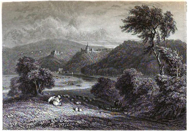
Goodrich Court
Castles · 1.1 km
Nearby
📷 5📷 5Museums · South West England
Goodrich, Herefordshire
Goodrich is a village and civil parish in south Herefordshire, England close to Gloucestershire and the Forest of Dean, situated near the River Wye at grid reference SO574193. It is known for its Norm
📷 3Memorials & monuments · South West England
Goodrich War Memorial
Goodrich War Memorial — Grade II listed building-listed memorial in wales-south, United Kingdom.
📷 3Memorials & monuments · South West England
Fisher Monument Approximately 10 Metre North-East Of East End Of Church Of St Giles
Fisher Monument Approximately 10 Metre North-East Of East End Of Church Of St Giles — Grade II listed building-listed memorial in wales-south, United Kingdom.
📷 3Memorials & monuments · South West England
Harper Monument Approximately 10 Metres South-East Of Chancel Of Church Of St Giles
Harper Monument Approximately 10 Metres South-East Of Chancel Of Church Of St Giles — Grade II listed building-listed memorial in wales-south, United Kingdom.
📷 3Memorials & monuments · South West England
Gritton Monument approximately 30 metres south-west of west tower of Church of St Giles
Gritton Monument approximately 30 metres south-west of west tower of Church of St Giles — Grade II listed building-listed memorial in wales-south, United Kingdom.
Where to eat & stay near Dry Arch Bridge 300yds (270m) NE of St Giles' Church
Places to stay
 📷 5
📷 5Campsites · South Wales
Elmsdale Touring and Camping Site
Elmsdale Touring and Camping Site — a campsite in wales south.
 📷 5
📷 5 📷 5
📷 5Campsites · South West England
River Wye Camping & Caravan Park
River Wye Camping & Caravan Park — a campsite in wales south.
 📷 5
📷 5Caravan parks · South West England
Sterrett’s Caravan and Camping Park
Sterrett’s Caravan and Camping Park — a caravan park in wales south.
 📷 5
📷 5 📷 5
📷 5B&Bs · South West England
The Saracens Head
The Saracens Head — a bed-and-breakfast in wales south.
Places to eat & drink
 📷 7
📷 7 📷 5
📷 5 📷 5
📷 5Historic pubs · West Midlands
The Man of Ross
The Man of Ross — Historic pub — listed building or notable heritage status.
 📷 5
📷 5 📷 7
📷 7 📷 7
📷 7Historic pubs · South West England
The Lough Pool Inn
The Lough Pool Inn in Wales South, United Kingdom.
More bridges in this region
 📷 5
📷 5Historic bridges · South West England
Avoncliff Aqueduct
Avoncliff Aqueduct is a historic bridge in the United Kingdom.
📷 5Historic bridges · South West England
Avoncliff Aqueduct
Avoncliff Aqueduct is a historic bridge in the United Kingdom.
 📷 5
📷 5Historic bridges · South West England
Bradford Viaduct
Bradford Viaduct is a historic bridge in the United Kingdom.
 📷 5
📷 5Historic bridges · South West England
Chippenham Viaduct
Chippenham Viaduct is a historic bridge in the United Kingdom.
Frequently asked questions
- Where is Dry Arch Bridge 300yds (270m) NE of St Giles' Church?
- Dry Arch Bridge 300yds (270m) NE of St Giles' Church is in South Wales, United Kingdom (postcode HR9 6HY), in the parish of Goodrich.
- What is Dry Arch Bridge 300yds (270m) NE of St Giles' Church?
- Dry Arch Bridge 300yds (270m) NE of St Giles' Church — scheduled monument-listed bridge in wales-south, United Kingdom.
- How do I get to Dry Arch Bridge 300yds (270m) NE of St Giles' Church?
- The nearest railway station is Rookwood, about 9.4 km away. Drivers can use postcode HR9 6HY.
- Who owns Dry Arch Bridge 300yds (270m) NE of St Giles' Church?
- Dry Arch Bridge 300yds (270m) NE of St Giles' Church is owned by Herefordshire County Council.
- Is Dry Arch Bridge 300yds (270m) NE of St Giles' Church a listed building?
- Dry Arch Bridge 300yds (270m) NE of St Giles' Church is officially recognised as scheduled monument listed.
- Is Dry Arch Bridge 300yds (270m) NE of St Giles' Church a protected site?
- Yes — Dry Arch Bridge 300yds (270m) NE of St Giles' Church is part of the River Wye SSSI Site of Special Scientific Interest and the Wye Valley National Landscape (AONB).
- Is Dry Arch Bridge 300yds (270m) NE of St Giles' Church free to visit?
- Yes, Dry Arch Bridge 300yds (270m) NE of St Giles' Church is free to enter.
- How do I get to Dry Arch Bridge 300yds (270m) NE of St Giles' Church?
- Drivers can navigate to postcode HR9 6HY. It sits within the Hereford and South Herefordshire parliamentary constituency.