Mountains & hills · Northern Ireland
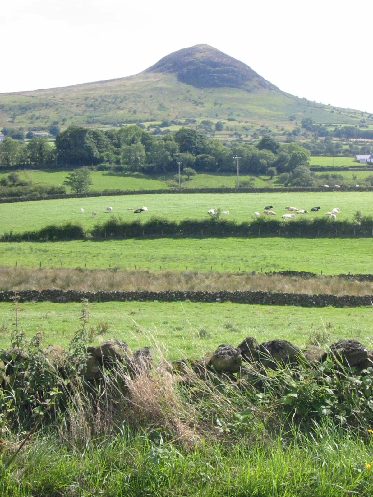
Douglas Top
In or near Carnalbanagh.
Douglas Top — a mountain in northern-ireland, United Kingdom, 402 m.

Albert Bridge — CC BY-SA 2.0 via Wikimedia Commons licence
Plan your visit
- Typical visit
- 3 h–8 h
- Best time of year
- Late spring – early autumn (May–Oct)
- Free entry
- Dog-friendly
About
Douglas Top is a named summit in northern-ireland, United Kingdom, with an elevation of approximately 402 metres. Listed in the Wikidata register of UK peaks; see the Wikipedia article for further details on the mountain's location, geology and walking routes.
Place summary
Douglas Top is a mountain located in Northern Ireland. It is notable for its elevation and forms part of the region's natural landscape. The mountain is a prominent feature in the area, attracting outdoor enthusiasts and hikers.
AI-generated from the structured facts on this page (operator, designation, listing, era). Not a substitute for visiting.
- Coordinates
- 54.8584, -6.0636
Sources
- wikidata: Q24649364 (CC0)
Other places nearby

Douglas Top
Mountains & hills · 0.1 km

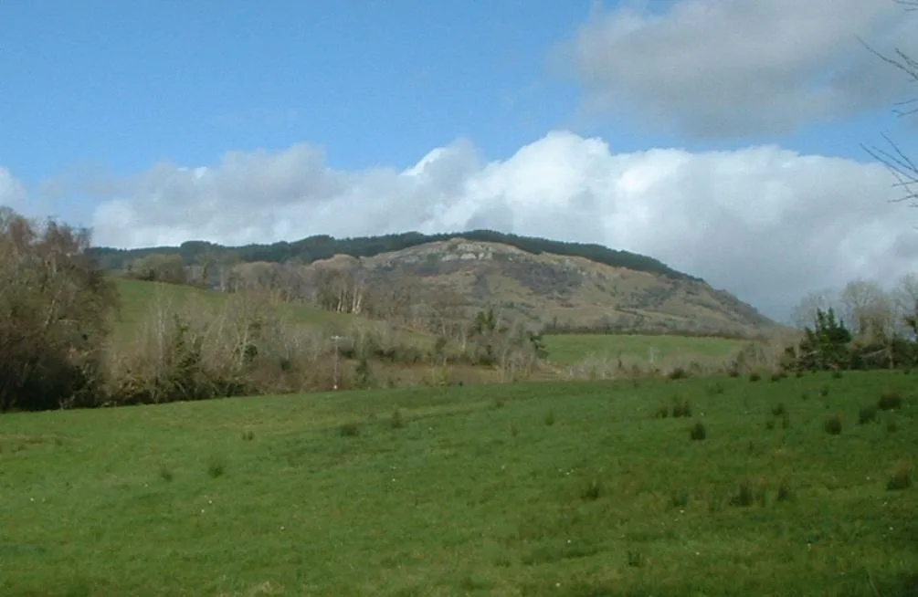
Tiftarney
Mountains & hills · 3.2 km
Slemish
Mountains & hills · 3.3 km

Slemish
Natural landmarks · 3.4 km

Mid and East Antrim
Natural landmarks · 3.5 km

Slemish Mountain
Mountains & hills · 4.4 km

Collin railway station
Natural landmarks · 4.6 km

Antrim Lower
Natural landmarks · 4.7 km
.jpg?width=1200)
A36 road
Natural landmarks · 4.7 km

Carnalbanagh
Towns & cities · 4.9 km

Carnlough Fault
Natural landmarks · 5.1 km

Ballygelly
Natural landmarks · 5.1 km
Nearby
📷 4Mountains & hills · Northern Ireland
Douglas Top
Douglas Top — mountain in northern ireland. Elevation: 402 m.
📷 5Mountains & hills · Northern Ireland
Tiftarney
Tiftarney — mountain in northern ireland. Elevation: 289 m.
📷 4📷 4Natural landmarks · Northern Ireland
Slemish
Slemish is a natural landmark in the United Kingdom.
📷 4Natural landmarks · Northern Ireland
Mid and East Antrim
Mid and East Antrim in Northern Ireland, United Kingdom.
📷 5Mountains & hills · Northern Ireland
Slemish Mountain
Slemish Mountain — a hill or mountain in northern ireland.
Where to eat & stay near Douglas Top
Places to stay
 📷 5
📷 5Campsites · Northern Ireland
Glenarm Castle Ocean View Pods
Glenarm Castle Ocean View Pods — a campsite in northern ireland.
 📷 5
📷 5Caravan parks · Northern Ireland
Carnfunnock Caravan Park
Carnfunnock Caravan Park — a caravan park in northern ireland.
 📷 3
📷 3 📷 5
📷 5Hostels · Northern Ireland
Simon Community Northern Ireland
Simon Community Northern Ireland — a hostel in northern ireland.
 📷 5
📷 5Campsites · Northern Ireland
Curran Caravan Park
Curran Caravan Park — a campsite in northern ireland.
 📷 5
📷 5Hotels · Northern Ireland
DoubleTree by Hilton Belfast Templepatrick
DoubleTree by Hilton Belfast Templepatrick — a hotel in northern ireland. 4-star. Brand: Hilton.
Places to eat & drink
 📷 5
📷 5More mountains in this region
 📷 5
📷 5Mountains & hills · Northern Ireland
Belfast Lough
Belfast Lough — intertidal inlet in Northern Ireland.
 📷 5
📷 5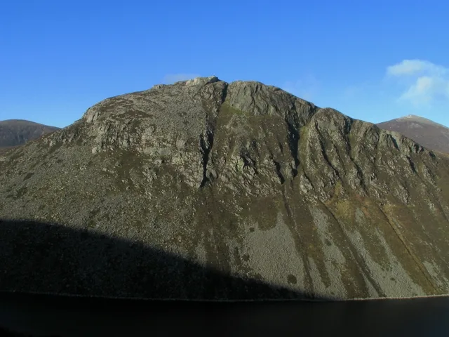 📷 4
📷 4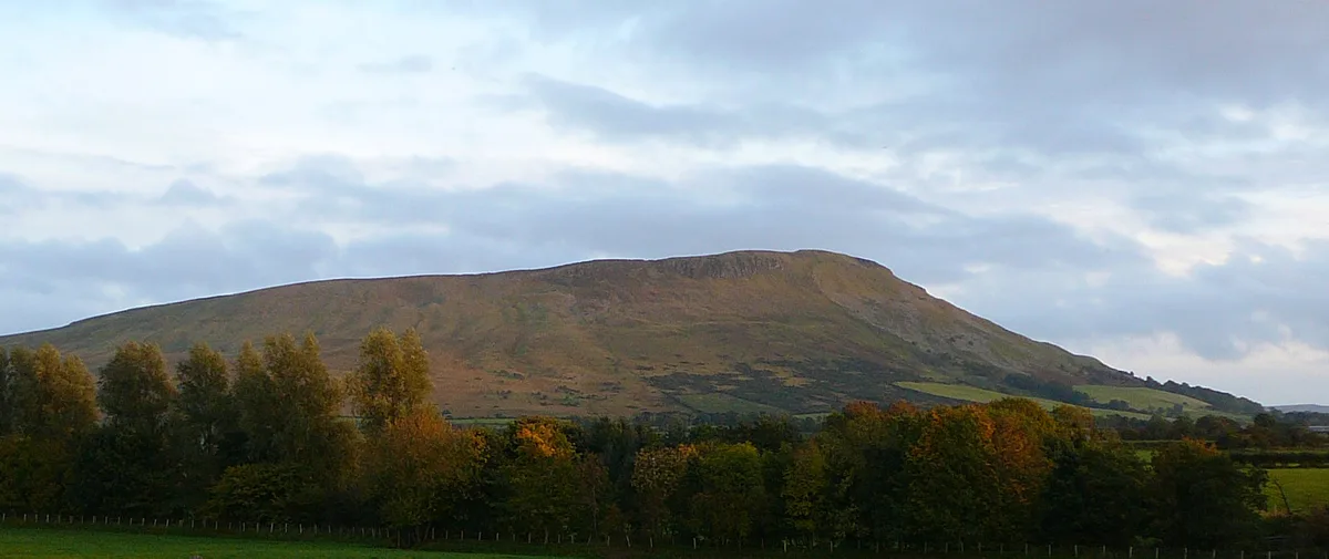 📷 3
📷 3Mountains & hills · Northern Ireland
Benbradagh
Benbradagh — Named summit at 465 m.
Frequently asked questions
- Where is Douglas Top?
- Douglas Top is in Northern Ireland, United Kingdom.
- What is Douglas Top?
- Douglas Top — a mountain in northern-ireland, United Kingdom, 402 m.
- How do I get to Douglas Top?
- Its coordinates are 54.8584°, -6.0636°.
- Is Douglas Top free to visit?
- Yes, Douglas Top is free to enter.