
Mountains & hills · South West England
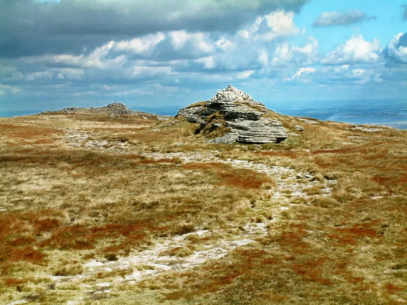
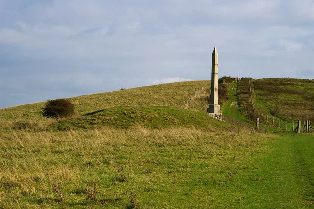
Dinger Tor
In or near Lydford.
Dinger Tor — mountain in england south west. Elevation: 550 m.

Chris Andrews — CC BY-SA 2.0 via Wikimedia Commons licence

Plan your visit
- Typical visit
- 3 h–8 h
- Best time of year
- Late spring – early autumn (May–Oct)
- Nearest railway station
- Okehampton · 6.3 km
- Dog-friendly
About
Dinger Tor is a mountain located in england south west. Elevation: 550 m. A named British peak recorded in OpenStreetMap. Peaks are typically named on Ordnance Survey 1:50k mapping.
Photo gallery
Protected designations
- Site of Special Scientific Interest: North Dartmoor SSSI
Designations sourced from Natural England open data under OGL v3.
Place summary
Dinger Tor is a mountain located in South-West England. It offers a rugged landscape typical of the region, characterised by granite outcrops and scenic views. Visitors can expect a range of walking trails suitable for various skill levels, providing access to the natural beauty of the surrounding area.
AI-generated from the structured facts on this page (operator, designation, listing, era). Not a substitute for visiting.
- Coordinates
- 50.6754, -4.0020
- Nearest railway station
- Okehampton — 6.3 km
Sources
- osm: n326050351 (ODbL)
Other places nearby

OP20 (ruins)
Historic houses · 0.1 km

OP5 (ruins)
Historic houses · 0.8 km

Lints Tor
Mountains & hills · 0.9 km

OP13 (ruins)
Historic houses · 0.9 km

OP14 (ruins)
Historic houses · 1.2 km
High Willhays
Natural landmarks · 1.3 km
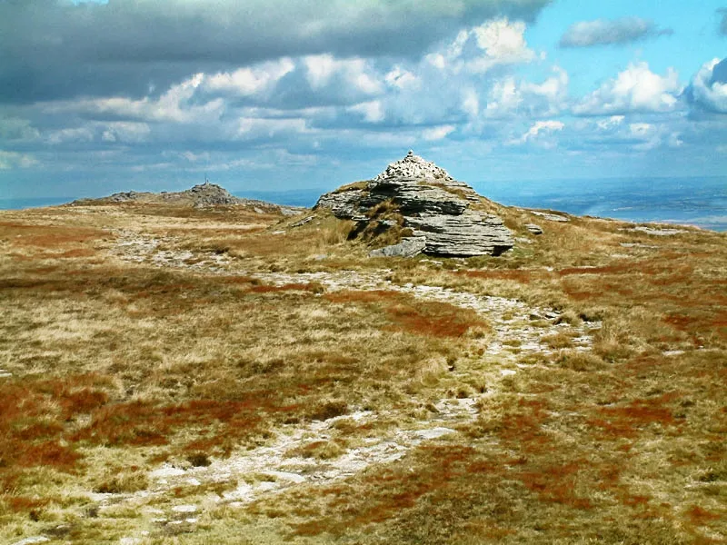
High Willhays
Mountains & hills · 1.3 km

OP4 (ruins)
Historic houses · 1.3 km

OP12 (ruins)
Historic houses · 1.3 km
OP2 (ruins)
Historic houses · 1.5 km

Okement Hill
Mountains & hills · 1.6 km

OP11 (ruins)
Historic houses · 1.6 km
Nearby
📷 3Historic houses · South West England
OP20 (ruins)
OP20 (ruins) — a historic house in South West England, United Kingdom.
📷 5Historic houses · South West England
OP5 (ruins)
OP5 (ruins) — a historic house in South West England, United Kingdom.
📷 5Mountains & hills · South West England
Lints Tor
Lints Tor — mountain in england south west. Elevation: 498 m.
📷 3Historic houses · South West England
OP13 (ruins)
OP13 (ruins) — a historic house in South West England, United Kingdom.
📷 3Historic houses · South West England
OP14 (ruins)
OP14 (ruins) — a historic house in South West England, United Kingdom.
📷 5Where to eat & stay near Dinger Tor
Places to stay
 📷 5
Caravan parks · South West England
Bundu Camping and Caravan Park
Bundu Camping and Caravan Park — a caravan park in england south west.
 📷 7
Hotels · South West England
Betty Cottles Inn
Betty Cottles Inn — a hotel in england south west.
 📷 5
Hostels · South West England
YHA Bracken Tor
YHA Bracken Tor — a hostel in england south west. Brand: Youth Hostels Association.
 📷 5
Campsites · South West England
Fox and Hounds
Fox and Hounds — a campsite in england south west.
📷 5Hotels · South West England
Fox & Hounds Hotel
Fox & Hounds Hotel — a hotel in england south west.
 📷 5
Hostels · South West England
YHA Okehampton
YHA Okehampton — a hostel in england south west. Brand: Youth Hostels Association.
Places to eat & drink
 📷 5
Historic pubs · South West England
The Oxenham Arms
The Oxenham Arms in England South West, United Kingdom.
 📷 7
Historic pubs · South West England
Warren House Inn
Warren House Inn in England South West, United Kingdom.
 📷 5
Historic pubs · South West England
The Blue Lion Public House
The Blue Lion Public House in England South West, United Kingdom.
 📷 5
Historic pubs · South West England
Tom Cobley Tavern
Tom Cobley Tavern in England South West, United Kingdom.
 📷 5
 📷 7
Historic pubs · South West England
Sportsmans Arms
Sportsmans Arms in England South West, United Kingdom.
More mountains in this region
 📷 5
 📷 5
 📷 5
 📷 5
Frequently asked questions
- Where is Dinger Tor?
- Dinger Tor is in South-West England, United Kingdom.
- What is Dinger Tor?
- Dinger Tor — mountain in england south west. Elevation: 550 m.
- How do I get to Dinger Tor?
- The nearest railway station is Okehampton, about 6.3 km away. The nearest town is Lydford. Its coordinates are 50.6754°, -4.0020°.
- Is Dinger Tor a protected site?
- Yes — Dinger Tor is part of the North Dartmoor SSSI Site of Special Scientific Interest.
- How do I get to Dinger Tor?
- The nearest railway station is Okehampton, about 6.3 km away.