
Archaeological sites · North West England
Delamere Forest
Also known as: Fforest Delamere
In or near Tarvin.
Delamere Forest — forest in Cheshire, England.

Wikimedia Commons contributors — see linked file page for photographer and licence licence

Plan your visit
- Typical visit
- 45 min–1.5 h
- Nearest railway station
- Delamere · 0.8 km
- Free entry
- Dog-friendly
- Wheelchair accessible
Getting there & planning your visit
To visit Delamere Forest, the nearest railway station is Delamere, located 0.8 km away. Entry is free, and the postcode for sat-nav is CW8 2JD.
About
Delamere Forest is an archaeological site in the United Kingdom. Managed by Forestry Commission. Wikidata describes it as: "forest in Cheshire, England". Coordinates: 53.2291°, -2.6778°.
Photo gallery
Summary from the official site
Delamere Forest is a scenic green space in Cheshire, ideal for outdoor activities such as walking, cycling, and wildlife spotting. Visitors can explore accessible paths, enjoy play areas, and participate in orienteering challenges, making it a great destination for families and nature enthusiasts.
Read more on the official property page.
From the Wikipedia article
Delamere Forest is a large wood in the village of Delamere in Cheshire, England. The woodland, which is managed by Forestry England, covers an area of 972 hectares (2,400 acres) making it the largest area of woodland in the county. It contains a mixture of deciduous and evergreen trees. Delamere, which means "forest of the lakes", is all that remains of the great Forests of Mara and Mondrem which covered over 60 square miles (160 km2) of this part of Cheshire. Established in the late 11th century, they were the hunting forests of the Norman Earls of Chester. Order was maintained under forest law. However this governance limited the agricultural potential of the area for centuries. It was not until ownership passed to the Crown in 1812 that the ancient ordinances were abolished. In 1924 the woodland came under the control of the Forestry Commission. The area also includes Old Pale hill, the high point of the northern mass of the Mid Cheshire Ridge, and Blakemere Moss, a lake around 1 kilometre (0.62 mi) in length. Black Lake, a rare example of quaking bog or schwingmoor, has been designated a Site of Special Scientific Interest (SSSI) and forms part of an international Ramsar site; Linmer Moss has also been designated an SSSI for its fenland habitat. The white-faced darter, a species of dragonfly rare in the UK, and marsh fern and white sedge, wetland plants that are rare in Cheshire, are found here. Delamere Forest is a popular recreational area that is used by approximately 750,000 visitors each year, including walkers, cyclists, mountain bikers and horse riders. It is also an outdoor concert venue.
Excerpt from Wikipedia under CC BY-SA 4.0. See the source article linked in Sources below.
Background
Architecture
Two Sites of Special Scientific Interest (SSSIs) lie within the area of Delamere Forest owned by the Forestry Commission. Black Lake () is an example of the rare quaking bog or schwingmoor habitat, a type of bog in which bog vegetation forms a raft which floats on top of water. The site is particularly notable for including the very earliest stages in quaking bog development, although all stages are present, from open water to largely consolidated schwingmoor in the process of colonisation by Scots pine. In addition to Sphagnum species, common sundew and the locally rare white sedge are present. The site is managed by Cheshire Wildlife Trust and forms part of the Midland Meres and Mosses…
Sourced from Wikipedia under CC BY-SA 4.0.
- Coordinates
- 53.2291, -2.6778
- District
- Cheshire West and Chester
- Parish
- Delamere and Oakmere
- Postcode
- CW8 2JD
- Parliamentary constituency
- Chester South and Eddisbury
- Phone
- 0300 067 4340
- Nearest railway station
- Delamere — 0.8 km
- Opening
- 8am–8pm (visitor centre)
- Official site
- www.forestryengland.uk
Sources
- wikidata: Q5253106 (CC0)
- wikipedia: Delamere Forest (CC BY-SA 4.0)
- commons: More Autumn Colour, Delamere Forest - geograph.org.uk - 73480.jpg (CC BY-SA 4.0)
Featured in this guide
Other places nearby

Go Ape Delamere Forest
Forests & woodlands · 0.3 km

Why Fox hello
Public art & sculpture · 0.6 km

Delamere Forest
Forests & woodlands · 0.6 km

Well Owl hello
Public art & sculpture · 0.7 km

Delamere Forest Camping and Caravanning Club Site
Campsites · 0.7 km

Hunger Hill Trail
Mountain bike trails · 0.8 km

Hangingstone Hill - Pale Heights
Mountains & hills · 0.9 km
Pale Heights
Mountains & hills · 0.9 km

Delamere Blue Cycle Trail
Mountain bike trails · 1.1 km

Whitemoor Trail
Mountain bike trails · 1.2 km

Black Lake Nature Reserve
Parks · 1.2 km
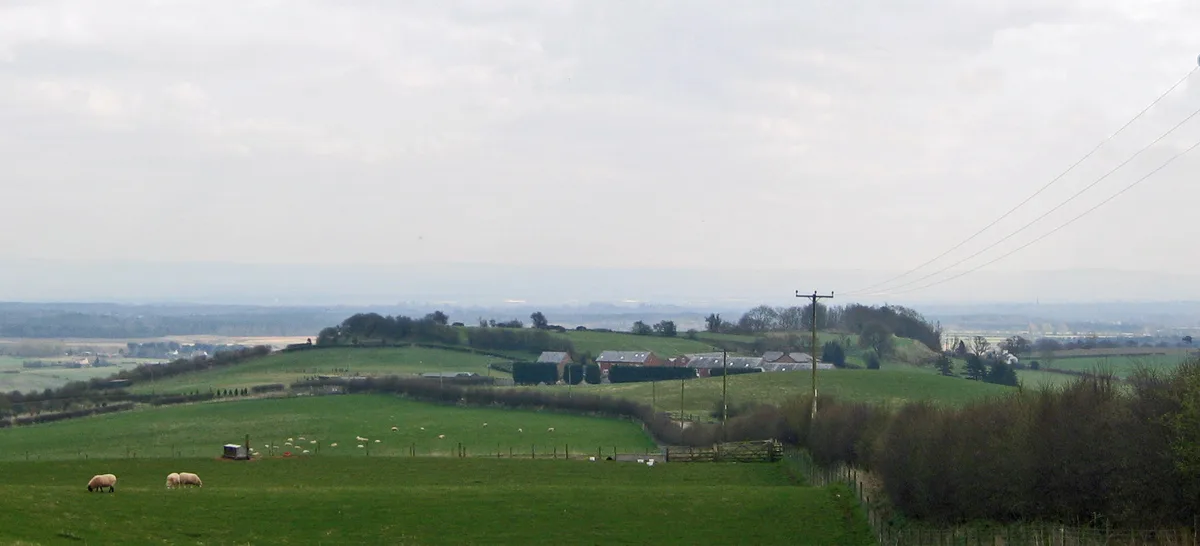
Eddisbury hill fort
Hill forts · 1.2 km
Nearby
📷 3Forests & woodlands · North West England
Go Ape Delamere Forest
Go Ape Delamere Forest — a other in wales-north, United Kingdom.
📷 3Public art & sculpture · North West England
Why Fox hello
Why Fox hello — a public art in wales-north, United Kingdom.
📷 3Forests & woodlands · North West England
Delamere Forest
Delamere Forest is a forest or woodland in the United Kingdom.
📷 3Public art & sculpture · North West England
Well Owl hello
Well Owl hello — a public art in wales-north, United Kingdom.
📷 5Campsites · North West England
Delamere Forest Camping and Caravanning Club Site
Delamere Forest Camping and Caravanning Club Site — a campsite in wales north.
📷 5Mountain bike trails · North West England
Hunger Hill Trail
Hunger Hill Trail — a mtb trail in wales north.
Where to eat & stay near Delamere Forest
Places to stay
📷 5Campsites · North West England
Delamere Forest Camping and Caravanning Club Site
Delamere Forest Camping and Caravanning Club Site — a campsite in wales north.
 📷 5
📷 5 📷 5
📷 5Caravan parks · North West England
Forest View Caravan and Camping Park
Forest View Caravan and Camping Park — a caravan park in wales north.
 📷 5
📷 5Caravan parks · North West England
Stoneyford Cottage Gardens CL
Stoneyford Cottage Gardens CL — a caravan park in wales north.
 📷 4
📷 4Caravan parks · North West England
Oakmere Country Park
Oakmere Country Park — a caravan park in wales north.
📷 5Places to eat & drink
 📷 5
📷 5Historic pubs · North West England
Bear's Paw Hotel, Frodsham
Bear's Paw Hotel, Frodsham in Wales North, United Kingdom.
 📷 3
📷 3Historic pubs · North West England
Tricorn
Tricorn — Historic pub — listed building or notable heritage status.
 📷 5
📷 5 📷 5
📷 5Historic pubs · North West England
Castle Hotel, Halton
Castle Hotel, Halton in Wales North, United Kingdom.
 📷 5
📷 5Historic pubs · North West England
The Norton Arms Public House
The Norton Arms Public House in Wales North, United Kingdom.
 📷 5
📷 5Historic pubs · North West England
Ye Gardeners Arms Public House
Ye Gardeners Arms Public House in Wales North, United Kingdom.
More places run by Forestry Commission
 📷 5
📷 5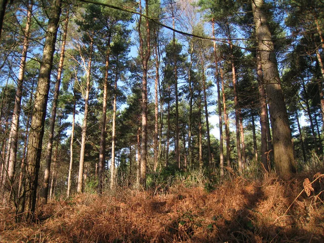 📷 5
📷 5Archaeological sites · South East England
Bedgebury Forest
Bedgebury Forest — forest in Kent, England.
 📷 5
📷 5Archaeological sites · South East England
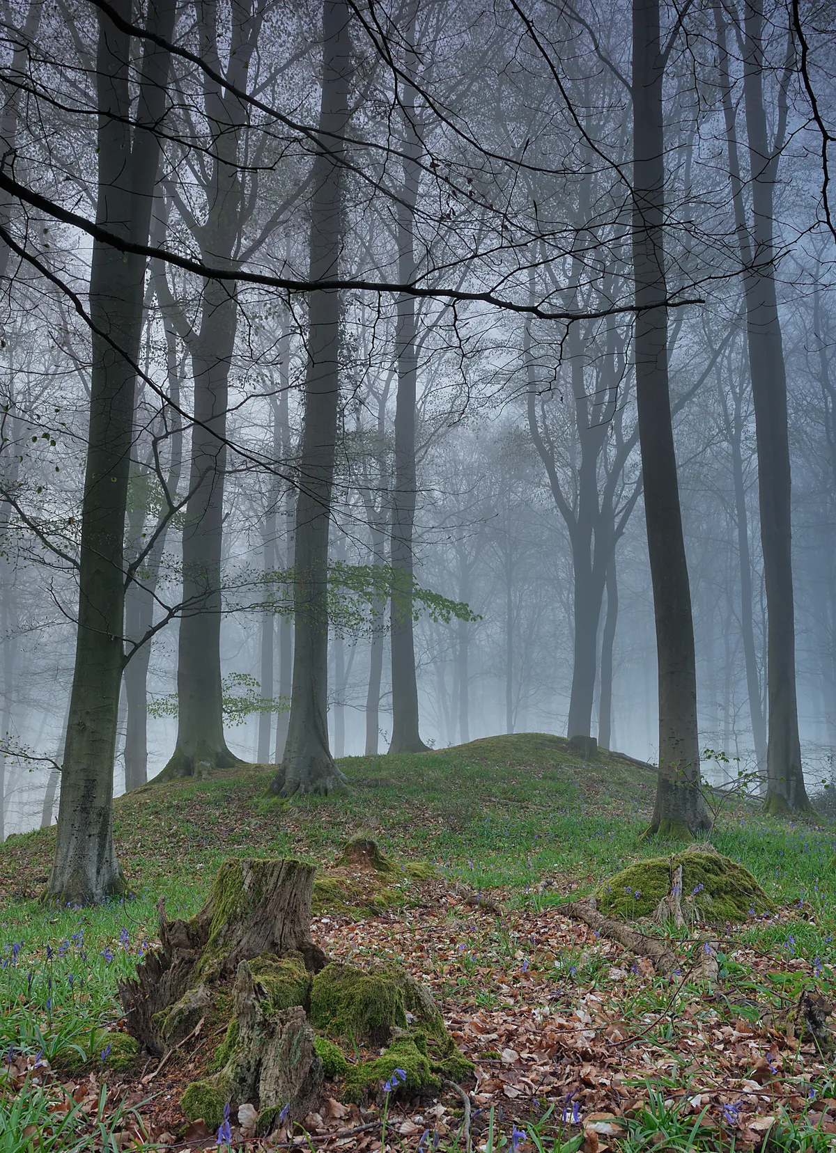
Multi-period site in Micheldever Wood
Multi-period site in Micheldever Wood — wood in Hampshire, UK, containing archaeological features.
 📷 3
📷 3Archaeological sites · South West England
Stock Hill
Stock Hill — Forestry Commission plantation in Chewton Mendip, Somerset, UK.
More archaeological sites in this region
 📷 3
📷 3Archaeological sites · North West England
Early medieval sculptural fragments in St Mary's churchyard
Early medieval sculptural fragments in St Mary's churchyard — archaeological site in Sandbach, Cheshire East, England, UK.
 📷 3
📷 3Archaeological sites · North West England
Gaddum's Wood
Gaddum's Wood is a archaeological site in the United Kingdom.
 📷 3
📷 3Archaeological sites · North West England
Marton moated monastic grange, three fishponds, connecting channels and base of stone cross
Marton moated monastic grange, three fishponds, connecting channels and base of stone cross — archaeological site in Whitegate and Marton, Cheshire West and Chester, England, UK.
 📷 3
📷 3Archaeological sites · North West England
St Oswalds Well
St Oswalds Well — a archaeological in england-west-midlands, United Kingdom.
Frequently asked questions
- Where is Delamere Forest?
- Delamere Forest is in North Wales, United Kingdom (postcode CW8 2JD), in the parish of Delamere and Oakmere.
- What is Delamere Forest?
- Delamere Forest — forest in Cheshire, England.
- How do I get to Delamere Forest?
- The nearest railway station is Delamere, about 0.8 km away. Drivers can use postcode CW8 2JD.
- Who owns Delamere Forest?
- Delamere Forest is owned by Forestry England and operated by Forestry Commission.
- Is Delamere Forest free to visit?
- Yes, Delamere Forest is free to enter.
- How do I get to Delamere Forest?
- The nearest railway station is Delamere, about 0.8 km away. Drivers can navigate to postcode CW8 2JD.