
Archaeological sites · South East England
Multi-period site in Micheldever Wood
In or near Swarraton.
Multi-period site in Micheldever Wood — wood in Hampshire, UK, containing archaeological features.

Wikimedia Commons contributors — see linked file page for photographer and licence licence

Plan your visit
- Typical visit
- 45 min–1.5 h
- Nearest railway station
- Micheldever · 5.5 km
- Free entry
- Dog-friendly
Getting there & planning your visit
To visit the Multi-period site in Micheldever Wood, the nearest railway station is Micheldever, located 5.5 km away. The postcode for satellite navigation is SO21 3BS. Entry to the site is free.
About
Multi-period site in Micheldever Wood is an archaeological site in the United Kingdom. Heritage designation: scheduled monument. Managed by Forestry Commission. Wikidata describes it as: "wood in Hampshire, UK, containing archaeological features". Coordinates: 51.1340°, -1.2433°.
Photo gallery
Summary from the official site
Micheldever Wood is an ancient woodland located northeast of Winchester, featuring predominantly beech trees and notable archaeological sites such as Bronze Age burial mounds and Iron Age farmsteads. Visitors can explore the diverse wildlife, including birds and deer, along various paths, especially enjoying the bluebell displays in spring.
Read more on the official property page.
Protected designations
- Site of Special Scientific Interest: River Test SSSI
Designations sourced from Natural England open data under OGL v3.
From the Wikipedia article
Micheldever Wood is a wood near the village of Micheldever, in Hampshire, England, about 5 miles (8 km) north-east of Winchester. It is managed by Forestry England. There are prehistoric remains from the Bronze Age and other periods in the wood, including a Roman villa.
Excerpt from Wikipedia under CC BY-SA 4.0. See the source article linked in Sources below.
Background
History
The area was part of the Royal Forest of Pamber in the medieval period. Part of the present Micheldever Wood was later held by Hyde Abbey. The abbey was dissolved in the 16th century, and Micheldever Wood was purchased by Thomas Wriothesley; it later descended by marriage to the Dukes of Bedford, and was acquired in 1801 by Francis Baring, 1st Baronet. The wood was described in the 1820s by William Cobbett in Rural Rides as "one of the finest oak woods in England". It has been in the care of Forestry England since 1919.
Description
Its size is 251.4 ha; the M3 motorway runs through the western side. The wood consists mostly of beech trees, interspersed with some conifers. There is a car park; there are picnic places and two walking trails. There is a range of wildlife species, and muntjac deer can be found. Notable displays of bluebells can be seen in the spring.
Sourced from Wikipedia under CC BY-SA 4.0.
- Coordinates
- 51.1340, -1.2433
- County
- Hampshire
- District
- Winchester
- Parish
- Micheldever
- Postcode
- SO21 3BS
- Parliamentary constituency
- Winchester
- Nearest railway station
- Micheldever — 5.5 km
- Opening
- | website = {{url|https://www.forestryengland.uk/micheldever-wood}}
- Official site
- www.forestryengland.uk
Sources
- wikidata: Q17663249 (CC0)
- wikipedia: Micheldever Wood (CC BY-SA 4.0)
- commons: Micheldever Woods Bowl Barrow.jpg (CC BY-SA 4.0)
Other places nearby

Micheldever
Villages · 2.3 km

Settlement site W of Bazeley Copse
Vineyards · 2.6 km

Itchen Stoke Down
Mountains & hills · 2.7 km

Micheldever Station Off Road Cycle Trail
Mountain bike trails · 2.7 km

East Stratton
Villages · 2.8 km

West Stratton
Villages · 3.0 km

Park Hill
Mountains & hills · 3.1 km

The Grange, Northington
Memorials & monuments · 3.4 km
Grange Festival
Theatres · 3.4 km

Northington
Villages · 3.8 km

Waller's Ash
Mountains & hills · 3.8 km

Swarraton
Towns & cities · 3.8 km
Nearby
📷 5📷 5Vineyards · South East England
Settlement site W of Bazeley Copse
Settlement site W of Bazeley Copse — a UK vineyard in england south east, producing English or Welsh wine from cool-climate grape varieties.
📷 5Mountains & hills · South East England
Itchen Stoke Down
Itchen Stoke Down — mountain in england south east. Elevation: 130 m.
📷 5Mountain bike trails · South East England
Micheldever Station Off Road Cycle Trail
Micheldever Station Off Road Cycle Trail — a mtb trail in england south east.
📷 5📷 5Where to eat & stay near Multi-period site in Micheldever Wood
Places to stay
 📷 5
📷 5Caravan parks · South East England
Vicarage Farm Park
Vicarage Farm Park — a caravan park in england south east.
 📷 5
📷 5Caravan parks · South East England
The Spinney Caravan Park
The Spinney Caravan Park — a caravan park in england south east.
 📷 7
📷 7 📷 7
📷 7 📷 7
📷 7Hotels · South East England
The Swan Hotel
The Swan Hotel — a hotel in england south east.
 📷 5
📷 5Places to eat & drink
 📷 7
📷 7Historic pubs · South East England
The Chestnut Horse Public House
The Chestnut Horse Public House in England South East, United Kingdom.
 📷 5
📷 5 📷 6
📷 6Historic pubs · South East England
The Cart And Horses Public House
The Cart And Horses Public House in England South East, United Kingdom.
 📷 7
📷 7Historic pubs · South East England
The Running Horse Public House
The Running Horse Public House in England South East, United Kingdom.
 📷 7
📷 7Historic pubs · South East England
Horse And Groom
Horse And Groom in England South East, United Kingdom.
 📷 7
📷 7Historic pubs · South East England
The Purefoy Arms Public House
The Purefoy Arms Public House in England South East, United Kingdom.
More places run by Forestry Commission
 📷 5
📷 5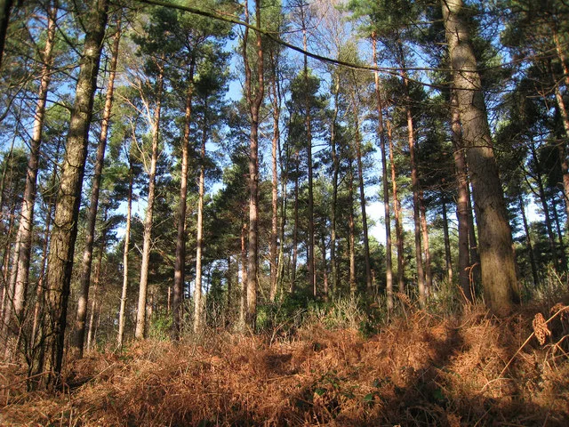 📷 5
📷 5Archaeological sites · South East England
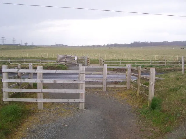
Bedgebury Forest
Bedgebury Forest — forest in Kent, England.
 📷 3
📷 3Archaeological sites · South West England
Stock Hill
Stock Hill — Forestry Commission plantation in Chewton Mendip, Somerset, UK.
 📷 3
📷 3Parks · South West England
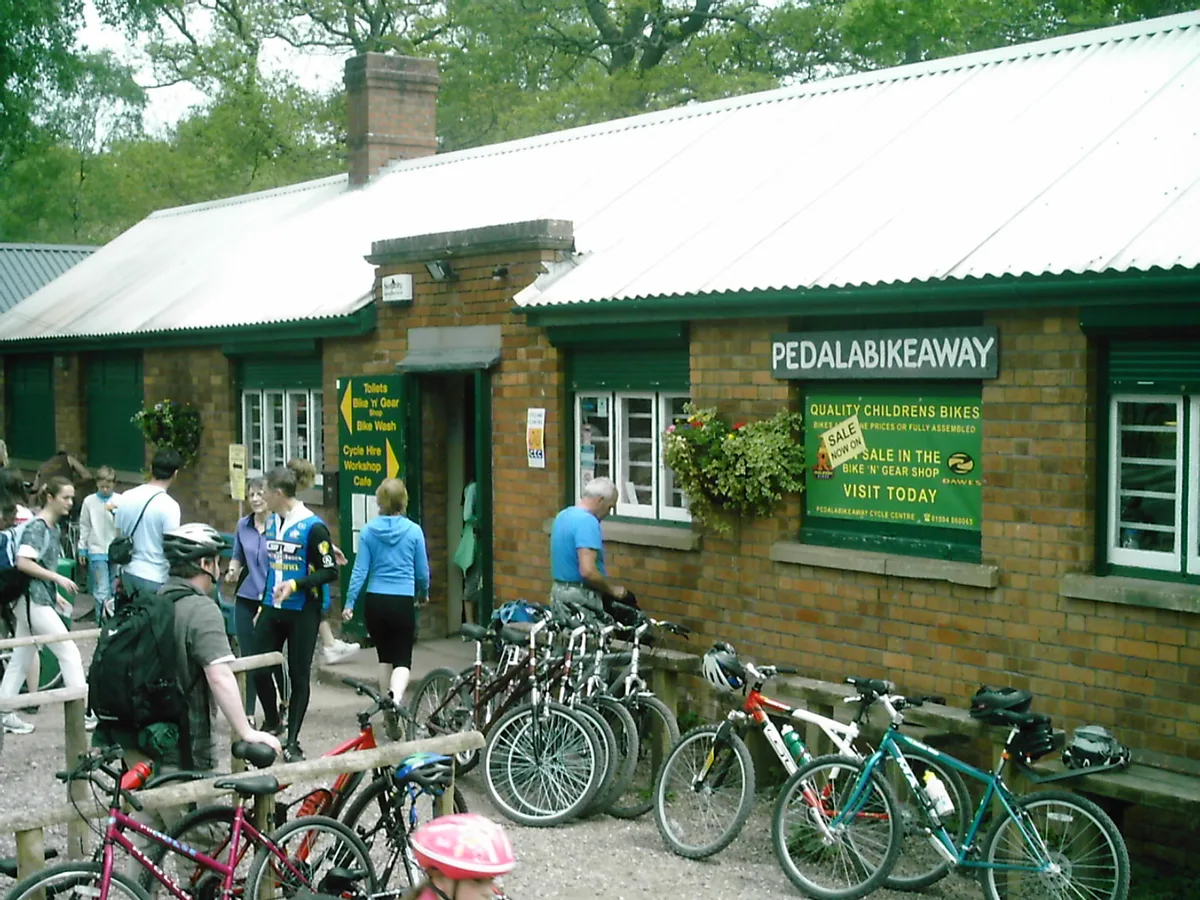
Forest of Dean Cycle Centre
Forest of Dean Cycle Centre — park in United Kingdom.
More archaeological sites in this region
 📷 5
📷 5Archaeological sites · South East England
Chatham Dockyard, site of South Mast Pond
Chatham Dockyard, site of South Mast Pond — archaeological site in Medway, Kent, England, UK.
 📷 5
📷 5Archaeological sites · South East England
Open areas within Roman, Saxon and medieval town
Open areas within Roman, Saxon and medieval town — archaeological site in Medway, Kent, England, UK.
 📷 5
📷 5Archaeological sites · South East England
Oxmoor Copse
Oxmoor Copse — woodland in Surrey, England.
 📷 5
📷 5Frequently asked questions
- Where is Multi-period site in Micheldever Wood?
- Multi-period site in Micheldever Wood is in Hampshire, South-East England, United Kingdom (postcode SO21 3BS), in the parish of Micheldever.
- What is Multi-period site in Micheldever Wood?
- Multi-period site in Micheldever Wood — wood in Hampshire, UK, containing archaeological features.
- How do I get to Multi-period site in Micheldever Wood?
- The nearest railway station is Micheldever, about 5.5 km away. Drivers can use postcode SO21 3BS.
- Who owns Multi-period site in Micheldever Wood?
- Multi-period site in Micheldever Wood is owned by | visitation_num = and operated by Forestry Commission.
- Is Multi-period site in Micheldever Wood a listed building?
- Multi-period site in Micheldever Wood is officially recognised as scheduled monument listed.
- Is Multi-period site in Micheldever Wood a protected site?
- Yes — Multi-period site in Micheldever Wood is part of the River Test SSSI Site of Special Scientific Interest.
- Is Multi-period site in Micheldever Wood free to visit?
- Yes, Multi-period site in Micheldever Wood is free to enter.
- How do I get to Multi-period site in Micheldever Wood?
- The nearest railway station is Micheldever, about 5.5 km away. Drivers can navigate to postcode SO21 3BS.