
Wildlife reserves · East of England
Cooper's Hill
In or near Maulden.
Cooper's Hill — nature reserve in Bedfordshire, England, UK.

Wikimedia Commons contributors — see linked file page for photographer and licence licence

Plan your visit
- Typical visit
- 2 h–4 h
- Best time of year
- Autumn & winter (migration & wildfowl)
- Nearest railway station
- Flitwick · 2.7 km
- Free entry
- Family-friendly
- Dog-friendly
- Limited wheelchair access
Getting there & planning your visit
Cooper's Hill is located in the West Midlands, with the nearest railway station being Flitwick, approximately 2.7 km away. Entry is free, but accessibility is limited for wheelchair users. The postcode for sat-nav is MK45 2QR.
About
Cooper's Hill is a wildlife reserve in the United Kingdom. Heritage designation: Site of Special Scientific Interest. Managed by Wildlife Trust for Bedfordshire, Cambridgeshire and Northamptonshire. Wikidata describes it as: "nature reserve in Bedfordshire, England, UK". Coordinates: 52.0277°, -0.5023°.
Photo gallery
Protected designations
- Site of Special Scientific Interest: Cooper's Hill SSSI
Designations sourced from Natural England open data under OGL v3.
From the Wikipedia article
Cooper's Hill is an 18.1-hectare (45-acre) biological Site of Special Scientific Interest in Ampthill in Bedfordshire. It was notified under Section 28 of the Wildlife and Countryside Act 1981 in 1984, and the planning authority is Central Bedfordshire Council. A smaller area of 12.7 hectares is also a Local Nature Reserve, Part of the site is managed by the Wildlife Trust for Bedfordshire, Cambridgeshire and Northamptonshire. The site is owned by Ampthill Town Council The site is described by Natural England as the best surviving example in Bedfordshire of heathland on the thin acidic soils of the Lower Greensand Ridge. It also has areas of marsh and woodland. There is access from Alameda Road and Station Road.
Excerpt from Wikipedia under CC BY-SA 4.0. See the source article linked in Sources below.
- Coordinates
- 52.0277, -0.5023
- District
- Central Bedfordshire
- Parish
- Ampthill
- Postcode
- MK45 2QR
- Parliamentary constituency
- Mid Bedfordshire
- Nearest railway station
- Flitwick — 2.7 km
Sources
- wikidata: Q5167710 (CC0)
- wikipedia: Cooper's Hill, Bedfordshire (CC BY-SA 4.0)
- commons: Fir Trees on heathland - geograph.org.uk - 629499.jpg (CC BY-SA 4.0)
Other places nearby

The Alemeda Memorial, Ampthill
Memorials & monuments · 0.1 km

Dillingham Park
Stadiums · 0.5 km

Kinema
Theatres · 0.6 km

Ampthill Camp Memorial Cross
Memorials & monuments · 0.8 km

The White Hart
Hotels · 0.8 km
Ampthill Castle
Castles · 0.8 km

Pump and signpost in Market Place
Historic houses · 0.8 km
The Cupcake Bar
Cafés · 0.8 km

Zonita Cinema
Theatres · 0.8 km

Ampthill
Museums · 0.8 km
Katherine's Cross
Memorials & monuments · 0.8 km
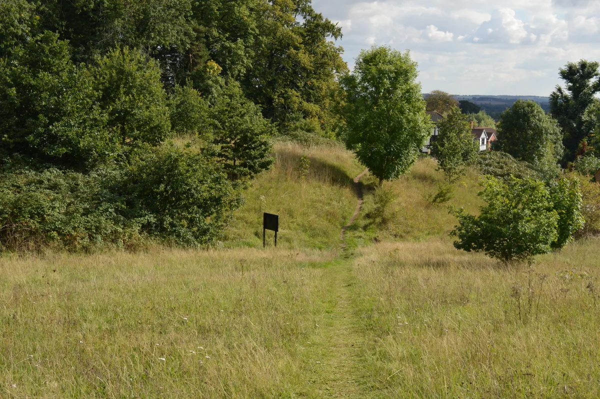
Cut-throat Meadow
Wildlife reserves · 1.3 km
Nearby
📷 3Memorials & monuments · East of England
The Alemeda Memorial, Ampthill
The Alemeda Memorial, Ampthill — Grade II listed building-listed memorial in england-west-midlands, United Kingdom.
📷 3📷 4📷 3Memorials & monuments · East of England
Ampthill Camp Memorial Cross
Ampthill Camp Memorial Cross — a memorial in england-west-midlands, United Kingdom.
📷 5Hotels · East of England
The White Hart
The White Hart — a hotel in england london.
📷 3Castles · East of England
Ampthill Castle
Ampthill Castle — scheduled monument-listed castle in england-west-midlands, United Kingdom.
Where to eat & stay near Cooper's Hill
Places to stay
📷 5Hotels · East of England
The White Hart
The White Hart — a hotel in england london.
 📷 5
📷 5Campsites · East of England
Belvedere Camping
Belvedere Camping — a campsite in england west midlands.
 📷 5
📷 5Campsites · East of England
The Rose and Crown
The Rose and Crown — a campsite in england west midlands.
 📷 5
📷 5Campsites · East of England
Lower Woodend Farm
Lower Woodend Farm — a campsite in england west midlands.
 📷 5
📷 5 📷 7
📷 7Places to eat & drink
📷 5 📷 5
📷 5 📷 5
📷 5Historic pubs · East of England
The Flying Horse Public House
The Flying Horse Public House in England East, United Kingdom.
 📷 5
📷 5 📷 5
📷 5Historic pubs · East of England
The Old Sun Public House
The Old Sun Public House in England East, United Kingdom.
 📷 5
📷 5Historic pubs · East of England
The Odd Fellows Arms
The Odd Fellows Arms in England East, United Kingdom.
More places run by Wildlife Trust for Bedfordshire, Cambridgeshire and Northamptonshire
 📷 5
📷 5Wildlife reserves · South East England
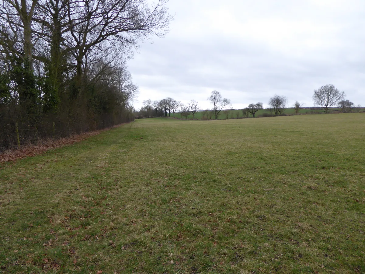
Boddington Meadow
Boddington Meadow — nature reserve in the United Kingdom.
 📷 3
📷 3Wildlife reserves · South East England
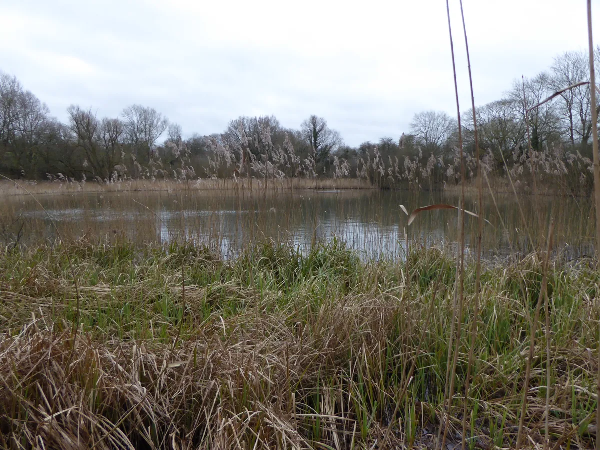
Byfield Pool
Byfield Pool — nature reserve in the United Kingdom.
 📷 5
📷 5Wildlife reserves · South East England
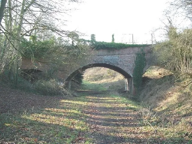
Farthinghoe Nature Reserve
Farthinghoe Nature Reserve — nature reserve in the United Kingdom.
 📷 3
📷 3Wildlife reserves · South East England
Grafton Regis Meadow
Grafton Regis Meadow — nature reserve in the United Kingdom.
More places in this region
 Flagship📷 10
Wildlife reserves · East of England
Amwell Quarry
Amwell Quarry — nature reserve in United Kingdom.
 Flagship📷 10
Wildlife reserves · East of England
Aubrey Buxton Nature Reserve
Aubrey Buxton Nature Reserve — Essex Wildlife Trust Nature reserve.
 Flagship📷 10
Wildlife reserves · East of England
Canvey Wick
Canvey Wick — nature reserve in Essex, United Kingdom.
 Flagship📷 10
Wildlife reserves · East of England
Crowsheath Wood
Crowsheath Wood — Essex Wildlife Trust Nature reserve.
Frequently asked questions
- Where is Cooper's Hill?
- Cooper's Hill is in the West Midlands, United Kingdom (postcode MK45 2QR), in the parish of Ampthill.
- What is Cooper's Hill?
- Cooper's Hill — nature reserve in Bedfordshire, England, UK.
- How do I get to Cooper's Hill?
- The nearest railway station is Flitwick, about 2.7 km away. Drivers can use postcode MK45 2QR.
- Who runs Cooper's Hill?
- Cooper's Hill is operated by Wildlife Trust for Bedfordshire, Cambridgeshire and Northamptonshire.
- Is Cooper's Hill a listed building?
- Cooper's Hill is officially recognised as Site of Special Scientific Interest listed.
- Is Cooper's Hill a protected site?
- Yes — Cooper's Hill is part of the Cooper's Hill SSSI Site of Special Scientific Interest.
- Is Cooper's Hill free to visit?
- Yes, Cooper's Hill is free to enter.
- How do I get to Cooper's Hill?
- The nearest railway station is Flitwick, about 2.7 km away. Drivers can navigate to postcode MK45 2QR.