
Historic churches · North West England
Cummertrees Parish Church
In or near Dalton.
Cummertrees Parish Church — category C listed building-listed church in scotland-lowlands, United Kingdom.

Ian S — CC BY-SA 2.0 via Wikimedia Commons licence

Plan your visit
- Typical visit
- 30 min–1 h
- Nearest railway station
- Annan · 5.3 km
- Free entry
Getting there & planning your visit
Cummertrees Parish Church is located in the Scottish Lowlands, with the nearest railway station being Annan, approximately 5.3 km away. The postcode for the church is DG12 5QB, and entry is free.
About
Cummertrees Parish Church is a category C listed building-listed church in scotland-lowlands, United Kingdom, registered on the Historic Environment Scotland register (entry LB3554). Listed status protects buildings and structures of special architectural or historic interest. See the linked Wikipedia article for further details.
Photo gallery
See it from the streetimagery from 2023
Imagery © Mapillary contributors, CC BY-SA 4.0
Heritage listing
Category C Date Added 03/08/1971 Local Authority Dumfries And Galloway Planning Authority Dumfries And Galloway Parish Cummertrees NGR NY 14012 66417 Coordinates 314012, 566417 — 1777 church (dated) enclosed by churchyard with war memorial lych gate. CHURCH: T-plan, with round-headed windows (N jamb perhaps not original); alterations circa 1877 possibly by John Starforth, including canted stair turret, buttresses and belfry at N gable (these built of red rubble with ashlar dressings); 20th century vestry adjoins E gable. Church rendered as ashlar, with red ashlar margins and dressings; 4-bay long S wall bolection-moulded wide doorway (presumably from previous church) in W gable, E door (enclosed by vestry) with rusticated surround and dated keystone. Angle buttresses with tall flat-topped pinnacles, birdcage belfry on rusticated base and with stepped cap. Straight skews throughout and finials; slate roofs. Interior: gallery at N supported on 2 cast-iron clustered columns with arcaded panelled front. Gothic-panelled oak pulpit and communion table both probably early 20th century. CHURCHYARD: quadrangular area enclosed by ashlar-coped rubble-built walls, gabled hearse house adjoins at corner. Early 19th century castellated gothic Kelhead burial enclosure to E of church; Unroofed, red ashlar, with iron "yett", blocked openings, apex of 17th century dormer head incorporated, plain marble memorial panels on W wall (some of family re-interred at Kinmount): otherwise mostly 18th-20th century stone monuments. LYCH-GATE: oak, with cusped framing and red tile roof; seats placed inside. — 18th century - rendering precludes fuller analysis of fabric. Ecclesiastical building in use as such. Pewter from Ruthwell parish church in vestry. Some walling may be contemporary with W door, v
From Historic Environment Scotland under OGL v3.
Protected designations
- Site of Special Scientific Interest: Upper Solway Flats & Marshes SSSI
- Ramsar wetland: Upper Solway Flats & Marshes
Designations sourced from Natural England open data under OGL v3.
Place summary
Cummertrees Parish Church is located in the Scottish Lowlands. It is designated as a category C listed building, reflecting its architectural and historical significance.
AI-generated from the structured facts on this page (operator, designation, listing, era). Not a substitute for visiting.
- Coordinates
- 54.9849, -3.3453
- District
- Dumfries and Galloway
- Postcode
- DG12 5QB
- Parliamentary constituency
- Dumfriesshire, Clydesdale and Tweeddale
- Nearest railway station
- Annan — 5.3 km
Sources
- wikidata: Q56614898 (CC0)
Other places nearby

Cummertrees
Villages · 0.1 km

Cummertrees Mill
Watermills · 0.2 km

Powfoot Bridge
Historic bridges · 1.0 km

Queensberry Bay Holiday Park
Caravan parks · 1.0 km

Powfoot
Villages · 1.2 km

Douglas Monument
Memorials & monuments · 2.0 km

Kinmount House
Historic houses · 2.3 km

Branthat Plantation, enclosed settlement 320m SE of Gill
Vineyards · 2.3 km

Broom Fisheries campsite
Caravan parks · 2.6 km

Hayknowes
Vineyards · 3.3 km
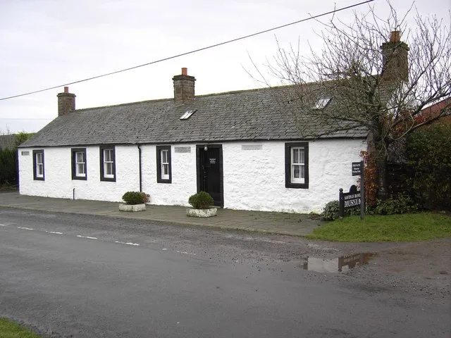
Ruthwell Museum
Museums · 3.9 km
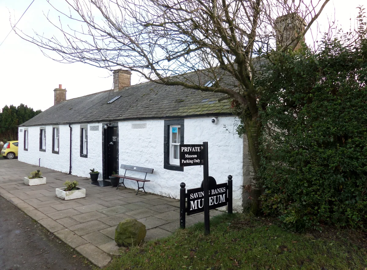
Savings Banks Museum
Museums · 3.9 km
Nearby
📷 5📷 5Watermills · North West England
Cummertrees Mill
Cummertrees Mill — category B listed building-listed watermill in scotland-lowlands, United Kingdom.
📷 5Historic bridges · North West England
Powfoot Bridge
Powfoot Bridge — category B listed building-listed bridge in scotland-lowlands, United Kingdom.
📷 5Caravan parks · North West England
Queensberry Bay Holiday Park
Queensberry Bay Holiday Park — a caravan park in scotland lowlands.
📷 5📷 3Memorials & monuments · North West England
Douglas Monument
Douglas Monument — a memorial in scotland-lowlands, United Kingdom.
Where to eat & stay near Cummertrees Parish Church
Places to stay
📷 5Caravan parks · North West England
Queensberry Bay Holiday Park
Queensberry Bay Holiday Park — a caravan park in scotland lowlands.
📷 5Caravan parks · North West England
Broom Fisheries campsite
Broom Fisheries campsite — a caravan park in scotland lowlands.
 📷 5
📷 5 📷 5
📷 5Caravan parks · North West England
Galabank Camping and Caravan Park
Galabank Camping and Caravan Park — a caravan park in scotland lowlands.
 📷 3
📷 3Hotels · Scottish Lowlands
Comlongon Castle (Hotel)
Comlongon Castle (Hotel) — a hotel in scotland lowlands.
 📷 5
📷 5Caravan parks · Scottish Lowlands
Hoddom Castle Caravan Park & Campsite
Hoddom Castle Caravan Park & Campsite — a caravan park in scotland lowlands.
Places to eat & drink
 📷 7
📷 7Historic pubs · Scottish Lowlands
The Farmers Inn
The Farmers Inn in Scotland Lowlands, United Kingdom.
 📷 7
📷 7Historic pubs · North West England
Queensberry Arms Hotel
Queensberry Arms Hotel in Scotland Lowlands, United Kingdom.
 📷 5
📷 5Historic pubs · Scottish Lowlands
Bruce Arms Public House, 3 Castle Street, Lochmaben
Bruce Arms Public House, 3 Castle Street, Lochmaben in Scotland Lowlands, United Kingdom.
 📷 5
📷 5Historic pubs · Scottish Lowlands
Queen O' The South Public House, 8-10 Nith Place, Dumfries
Queen O' The South Public House, 8-10 Nith Place, Dumfries in Scotland Lowlands, United Kingdom.
 📷 5
📷 5Historic pubs · Scottish Lowlands
73-77 English Street, Dumfries
73-77 English Street, Dumfries in Scotland Lowlands, United Kingdom.
 📷 5
📷 5Historic pubs · Scottish Lowlands
The Globe Inn, 56 High Street, Dumfries
The Globe Inn, 56 High Street, Dumfries in Scotland Lowlands, United Kingdom.
More places in this region
 📷 3
📷 3Historic churches · North West England
All Saints Chapel, Somerford
All Saints Chapel, Somerford — church in Cheshire East, Cheshire, England, UK.
 📷 3
📷 3Historic churches · North West England
All Saints Church, Church Lawton
All Saints Church, Church Lawton — Grade II* listed church in Church Lawton, Cheshire East, Cheshire, England, UK.
 📷 3
📷 3Historic churches · North West England
All Saints Church, Scholar Green
All Saints Church, Scholar Green — church in Cheshire East, Cheshire, England, UK.
 📷 3
📷 3Historic churches · North West England
All Saints Church, Siddington
All Saints Church, Siddington — church in Cheshire East, Cheshire, England, UK.
Frequently asked questions
- Where is Cummertrees Parish Church?
- Cummertrees Parish Church is in the Scottish Lowlands, United Kingdom (postcode DG12 5QB).
- What is Cummertrees Parish Church?
- Cummertrees Parish Church — category C listed building-listed church in scotland-lowlands, United Kingdom.
- How do I get to Cummertrees Parish Church?
- The nearest railway station is Annan, about 5.3 km away. Drivers can use postcode DG12 5QB.
- Is Cummertrees Parish Church a listed building?
- Cummertrees Parish Church is officially recognised as category C listed building listed.
- Is Cummertrees Parish Church a protected site?
- Yes — Cummertrees Parish Church is part of the Upper Solway Flats & Marshes SSSI Site of Special Scientific Interest and the Upper Solway Flats & Marshes Ramsar wetland.
- Is Cummertrees Parish Church free to visit?
- Yes, Cummertrees Parish Church is free to enter.
- How do I get to Cummertrees Parish Church?
- The nearest railway station is Annan, about 5.3 km away. Drivers can navigate to postcode DG12 5QB.