Mountains & hills · North West England
Crook Crag
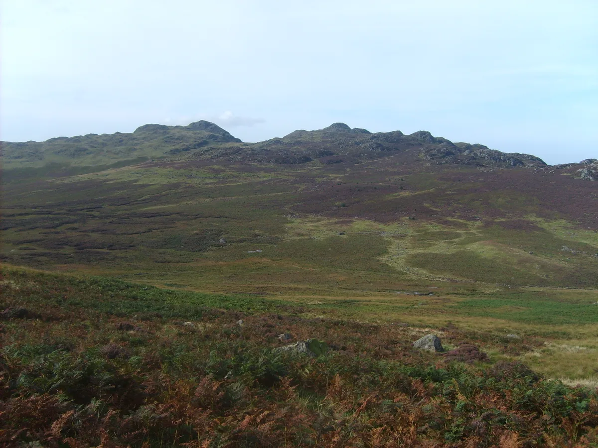
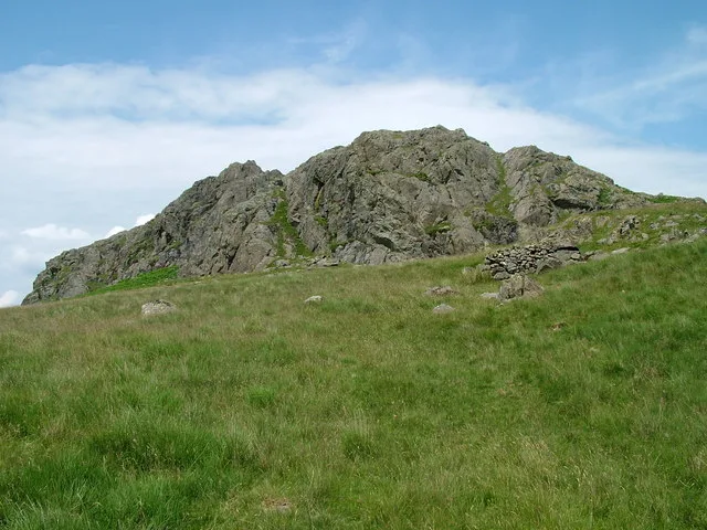
Crook Crag — mountain in england north west. Elevation: 469 m.

Michael Graham — CC BY-SA 2.0 via Wikimedia Commons licence
Plan your visit
- Typical visit
- 3 h–8 h
- Best time of year
- Late spring – early autumn (May–Oct)
About
Crook Crag is a mountain located in england north west. Elevation: 469 m. A named British peak recorded in OpenStreetMap. Peaks are typically named on Ordnance Survey 1:50k mapping.
Photo gallery
Place summary
Crook Crag is a mountain located in North-West England. It is part of the Lake District, a UNESCO World Heritage Site known for its rugged terrain and natural beauty. The area offers various walking trails, providing opportunities for hiking and enjoying the surrounding landscape. Visitors can expect a range of outdoor activities, with the mountain's elevation contributing to panoramic views of the region.
AI-generated from the structured facts on this page (operator, designation, listing, era). Not a substitute for visiting.
- Coordinates
- 54.3779, -3.2331
Sources
- osm: n4942369068 (ODbL)
Other places nearby
Loading nearby places…
Nearby
📷 5Mountains & hills · North West England
Crook Crag
Crook Crag — a hill or mountain in england north west.
 📷 3
📷 3Natural landmarks · North West England
Green Crag
Green Crag — mountain in Cumbria, United Kingdom.
 📷 3
📷 3Mountains & hills · North West England
Green Crag
Green Crag — Named summit at 488.7 m.
 📷 5
📷 5Gorges · North West England
Eskdale
Eskdale — a gorge in england north west.
 📷 5
📷 5Waterfalls · North West England
Birker Force
Birker Force — waterfall in england north west.
 📷 3
📷 3Archaeological sites · North West England
Great Crag prehistoric cairnfield and associated field system 710m south east of Birkerthwaite
Great Crag prehistoric cairnfield and associated field system 710m south east of Birkerthwaite — archaeological site in Eskdale, Copeland, England, UK.
Where to eat & stay near Crook Crag
Places to stay
 📷 5
📷 5Hostels · North West England
YHA Eskdale
YHA Eskdale — a hostel in england north west.
 📷 5
📷 5Campsites · North West England
Eskdale Campsite
Eskdale Campsite — a campsite in england north west.
 📷 5
📷 5Campsites · North West England
Turner Hall Farm Campsite
Turner Hall Farm Campsite — a campsite in england north west.
 📷 5
📷 5Campsites · North West England
Fisherground Campsite
Fisherground Campsite — a campsite in england north west.
 📷 5
📷 5Campsites · North West England
The Barn Campsite
The Barn Campsite — a campsite in england north west.
 📷 5
📷 5Hostels · North West England
YHA Wasdale Hall
YHA Wasdale Hall — a hostel in england north west.
Places to eat & drink
 📷 5
📷 5Historic pubs · North West England
Blacksmiths Arms
Blacksmiths Arms in England North West, United Kingdom.
 📷 5
📷 5Historic pubs · North West England
Church House Public House
Church House Public House in England North West, United Kingdom.
 📷 5
📷 5Restaurants · North West England
The Terrace Coffee House and Restaurant
The Terrace Coffee House and Restaurant — a restaurant in england north west. Cuisine: sandwich;lunch.
 📷 5
📷 5Historic pubs · North West England
Sun Cottage Sun Inn Public House
Sun Cottage Sun Inn Public House in England North West, United Kingdom.
 📷 5
📷 5Historic pubs · North West England
The Travellers Rest
The Travellers Rest in England North West, United Kingdom.
 📷 5
📷 5Historic pubs · North West England
Golden Rule Hotel
Golden Rule Hotel in England North West, United Kingdom.
More mountains in this region
 📷 3
📷 3Mountains & hills · North West England
Allen Crags
Allen Crags — Named summit at 785 m.
 📷 3
📷 3Mountains & hills · North West England
Alum Pot
Alum Pot — Open shaft pothole in North Yorkshire.
 📷 3
📷 3Mountains & hills · North West England
Arnside Knott
Arnside Knott — Named summit at 159 m.
 📷 3
📷 3Mountains & hills · North West England
Aye Gill Pike
Aye Gill Pike — Named summit at 556.3 m.
Frequently asked questions
- Where is Crook Crag?
- Crook Crag is in North-West England, United Kingdom.
- What is Crook Crag?
- Crook Crag — mountain in england north west. Elevation: 469 m.
- How do I get to Crook Crag?
- Its coordinates are 54.3779°, -3.2331°.