Mountains & hills · East Midlands
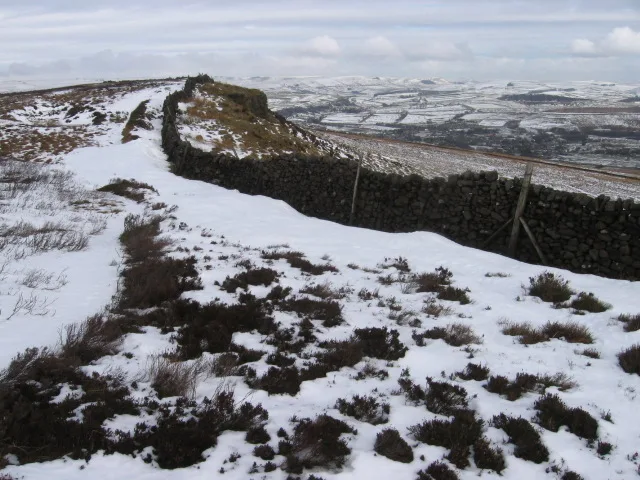
Cown Edge
Cown Edge — mountain in england east midlands. Elevation: 411 m.

Peter McDermott — CC BY-SA 2.0 via Wikimedia Commons licence
Plan your visit
- Typical visit
- 3 h–8 h
- Best time of year
- Late spring – early autumn (May–Oct)
About
Cown Edge is a mountain located in england east midlands. Elevation: 411 m. A named British peak recorded in OpenStreetMap. Peaks are typically named on Ordnance Survey 1:50k mapping.
Photo gallery
Place summary
Cown Edge is a mountain located in the East Midlands. It features a variety of walking trails that cater to different skill levels, providing panoramic views of the surrounding landscape. The area is popular among hikers and nature enthusiasts, offering a mix of natural beauty and outdoor activities. Visitors can expect a rugged terrain typical of the region.
AI-generated from the structured facts on this page (operator, designation, listing, era). Not a substitute for visiting.
- Coordinates
- 53.4251, -1.9691
Sources
- osm: n8540789626 (ODbL)
Other places nearby
Loading nearby places…
Nearby
📷 5Mountains & hills · East Midlands
Cown Edge
Cown Edge — a hill or mountain in england east midlands.
 📷 5
📷 5Mountains & hills · East Midlands
Knarrs
Knarrs — a hill or mountain in england east midlands.
 📷 3
📷 3Memorials & monuments · East Midlands
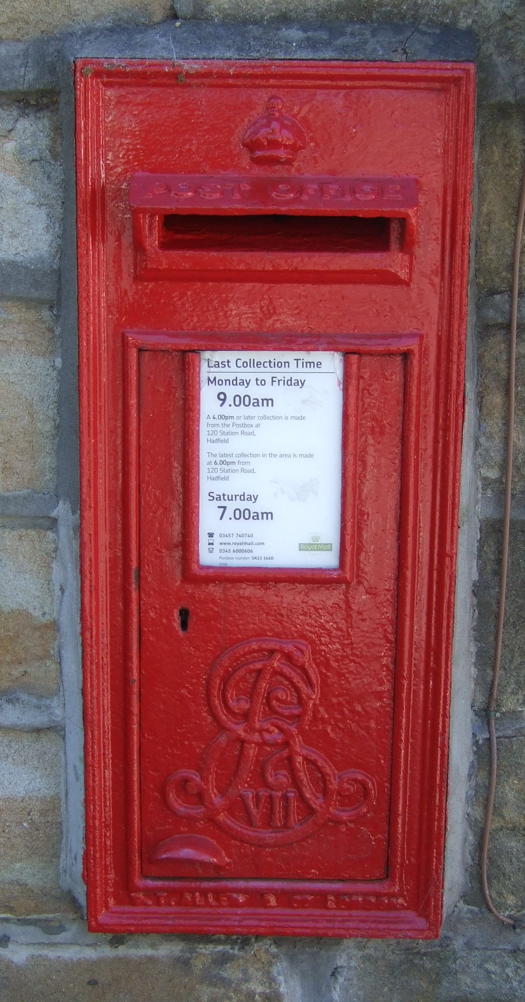
Charlesworth War Memorial
Charlesworth War Memorial — Grade II listed building-listed memorial in england-east-midlands, United Kingdom.
 📷 5
📷 5Villages · East Midlands
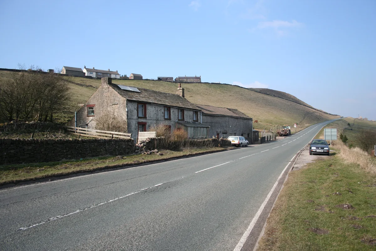
Charlesworth
Charlesworth — a village in england east midlands.
 📷 3
📷 3Historic churches · East Midlands
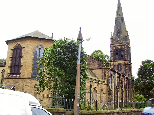
St James' Church, Glossop
St James' Church, Glossop — Grade II listed church in Glossop, Derbyshire, England, UK.
 📷 3
📷 3Memorials & monuments · East Midlands
Robin Hood's Picking Rods
Robin Hood's Picking Rods — a memorial in england-east-midlands, United Kingdom.
Where to eat & stay near Cown Edge
Places to stay
 📷 5
📷 5Campsites · West Midlands
Boarfold Scout Camp
Boarfold Scout Camp — a campsite in england west midlands.
 📷 5
📷 5Caravan parks · East Midlands
Windy Harbour Hotel Caravan and Camping Site
Windy Harbour Hotel Caravan and Camping Site — a caravan park in england east midlands.
 📷 5
📷 5Hotels · East Midlands
Kinder Lodge
Kinder Lodge — a hotel in england east midlands.
 📷 5
📷 5Campsites · East Midlands
Crossgate Farm Campsite
Crossgate Farm Campsite — a campsite in england east midlands.
 📷 5
📷 5Campsites · East Midlands
Hayfield Campsite
Hayfield Campsite — a campsite in england east midlands.
 📷 5
📷 5Caravan parks · West Midlands
Far Benfield Farm Caravan Storage
Far Benfield Farm Caravan Storage — a caravan park in england west midlands.
Places to eat & drink
 📷 5
📷 5Historic pubs · Yorkshire & the Humber
The Crown Inn, Glossop
The Crown Inn, Glossop in England Yorkshire, United Kingdom.
 📷 5
📷 5Historic pubs · Yorkshire & the Humber
Former Dollars Public House
Former Dollars Public House in England Yorkshire, United Kingdom.
 📷 5
📷 5Historic pubs · Yorkshire & the Humber
The Oakwood and Oakwood Restaurant
The Oakwood and Oakwood Restaurant in England Yorkshire, United Kingdom.
 📷 5
📷 5Historic pubs · Yorkshire & the Humber
Norfolk Arms Public House
Norfolk Arms Public House in England Yorkshire, United Kingdom.
 📷 5
📷 5Historic pubs · Yorkshire & the Humber
Bulls Head Public House
Bulls Head Public House in England Yorkshire, United Kingdom.
 📷 5
📷 5Historic pubs · Yorkshire & the Humber
The Spinners Arms Public House
The Spinners Arms Public House in England Yorkshire, United Kingdom.
More mountains in this region
 📷 3
📷 3Mountains & hills · East Midlands
Axe Edge Moor
Axe Edge Moor — Named summit at 551 m.
Mountains & hills · East Midlands
Beacon Hill
Beacon Hill — Named summit at 244.5 m.
Mountains & hills · East Midlands
Beacon Hill
Beacon Hill — Named summit at 105 m.
 📷 3
📷 3Mountains & hills · East Midlands
Black Edge - Summit
Black Edge - Summit — Named summit at 506.7 m.
Frequently asked questions
- Where is Cown Edge?
- Cown Edge is in the East Midlands, United Kingdom.
- What is Cown Edge?
- Cown Edge — mountain in england east midlands. Elevation: 411 m.
- How do I get to Cown Edge?
- Its coordinates are 53.4251°, -1.9691°.