
Historic houses · North West England
Cowmire Hall and wall running approximately 20 metres to east, with gate piers
In or near Cartmel Fell.
Cowmire Hall and wall running approximately 20 metres to east, with gate piers — Grade II* listed house in the parish of Crosthwaite and Lyth, Cumbria, England, UK.

Wikimedia Commons contributors — see linked file page for photographer and licence licence

Plan your visit
- Typical visit
- 1 h–2 h
- Nearest railway station
- Lakeside · 5.0 km
- Family-friendly
- Limited wheelchair access
Getting there & planning your visit
Cowmire Hall is located in Westmorland and Furness, postcode LA8 8JJ. The nearest railway station is Lakeside, which is approximately 5 km away. Entry is free, but please note that wheelchair accessibility is limited.
About
Cowmire Hall and wall running approximately 20 metres to east, with gate piers is a historic house in the United Kingdom — typically a country seat, manor, or town house with notable architecture or history. Heritage designation: Grade II* listed building. Wikidata describes it as: "Grade II* listed house in the parish of Crosthwaite and Lyth, Cumbria, England, UK". Coordinates: 54.2908°, -2.8810°.
Photo gallery
Protected designations
- Site of Special Scientific Interest: River Kent and Tributaries SSSI
Designations sourced from Natural England open data under OGL v3.
From the Wikipedia article
Cowmire Hall is a country house near Crosthwaite in Cumbria, England. The hall, the garden wall and gate piers are recorded in the National Heritage List for England as a designated Grade II* listed building.
Excerpt from Wikipedia under CC BY-SA 4.0. See the source article linked in Sources below.
Background
History
The hall was originally built as a tower house in the early 16th century probably for the Briggs family. It was acquired by the Newby family in the late 17th century and was extended and remodelled by Richard Fleming, a son of Sir Daniel Fleming, in the 1690s.
Sourced from Wikipedia under CC BY-SA 4.0.
- Coordinates
- 54.2908, -2.8810
- District
- Westmorland and Furness
- Parish
- Crosthwaite and Lyth
- Postcode
- LA8 8JJ
- Parliamentary constituency
- Westmorland and Lonsdale
- Nearest railway station
- Lakeside — 5 km
Sources
- wikidata: Q17543996 (CC0)
- wikipedia: Cowmire Hall (CC BY-SA 4.0)
- commons: Cowmire Hall - geograph.org.uk - 1287979.jpg (CC BY-SA 4.0)
Other places nearby

Hodge Hill Hall
Historic houses · 1.1 km
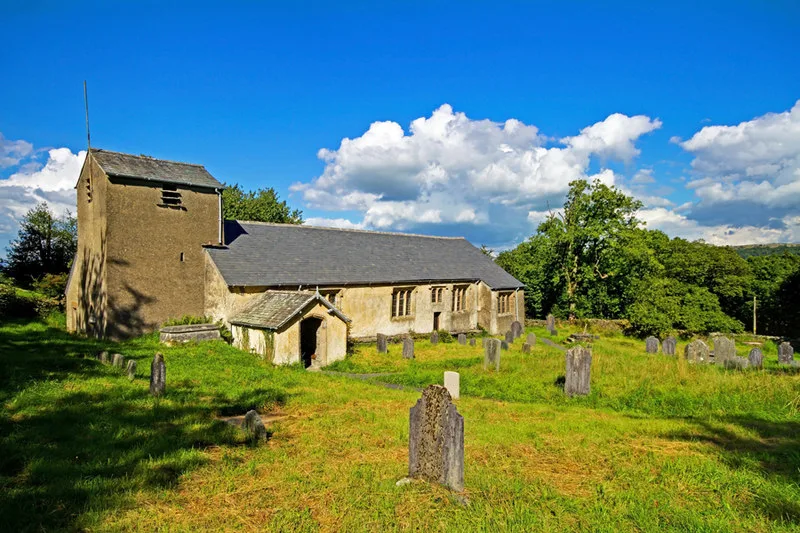
St Anthony's Church, Cartmel Fell
Historic churches · 1.3 km

Cartmel Fell War Memorial
Memorials & monuments · 1.3 km

Cartmel Fell
Towns & cities · 1.3 km

Raven's Barrow
Mountains & hills · 1.8 km

Borderside Farm
Campsites · 2.0 km

Whitbarrow - Lord's Seat
Mountains & hills · 2.2 km
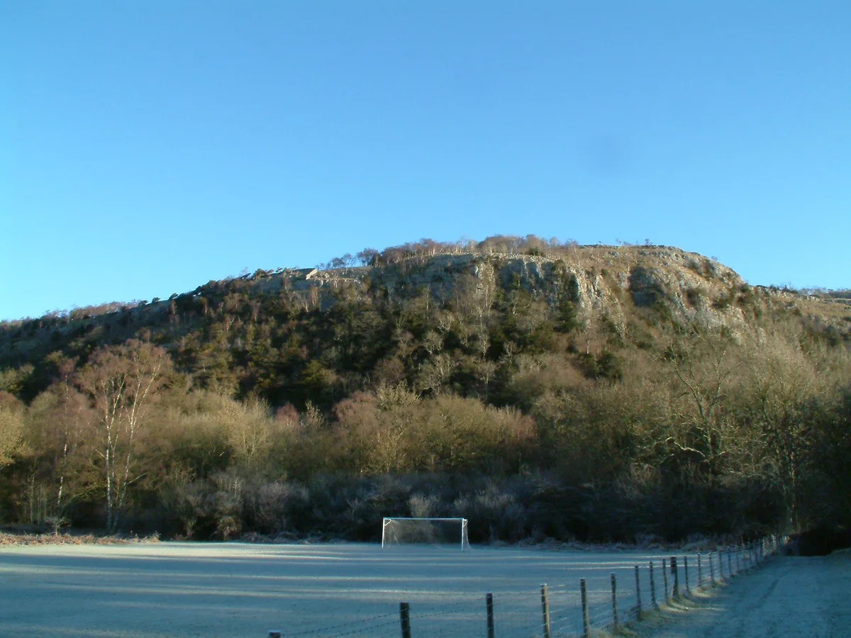
Lord's Seat
Mountains & hills · 2.2 km

The Heights
Mountains & hills · 2.3 km

Lambhowe Caravan Park
Caravan parks · 2.5 km

Lime Kiln Row
Historic houses · 2.7 km

Bridge Approximately 30 Metres To East Of Lyth Valley Hotel
Historic bridges · 2.8 km
Nearby
📷 3Historic houses · North West England
Hodge Hill Hall
Hodge Hill Hall — Grade II* listed house in Cartmel Fell, Cumbria, England, UK.
📷 5Historic churches · North West England
St Anthony's Church, Cartmel Fell
St Anthony's Church, Cartmel Fell — church in South Lakeland, UK.
📷 3Memorials & monuments · North West England
Cartmel Fell War Memorial
Cartmel Fell War Memorial — Grade II listed building-listed memorial in england-north-west, United Kingdom.
📷 3Towns & cities · North West England
Cartmel Fell
Cartmel Fell — village and civil parish in South Lakeland, Cumbria, England.
📷 5Mountains & hills · North West England
Raven's Barrow
Raven's Barrow — mountain in england north west. Elevation: 159 m.
📷 4Campsites · North West England
Borderside Farm
Borderside Farm — a campsite in england north west.
Where to eat & stay near Cowmire Hall and wall running approximately 20 metres to east, with gate piers
Places to stay
📷 4Campsites · North West England
Borderside Farm
Borderside Farm — a campsite in england north west.
📷 5Caravan parks · North West England
Lambhowe Caravan Park
Lambhowe Caravan Park — a caravan park in england north west.
 📷 3
📷 3Campsites · North West England
Moss Howe Farm campsite
Moss Howe Farm campsite — a campsite in england north west.
 📷 3
📷 3Campsites · North West England
Great Tower Scout Activity Centre
Great Tower Scout Activity Centre — a campsite in england north west.
 📷 5
📷 5Campsites · North West England
Park Cliffe
Park Cliffe — a campsite in england north west.
 📷 5
📷 5Caravan parks · North West England
Bulman Strads
Bulman Strads — a caravan park in england north west.
Places to eat & drink
 📷 7
📷 7Cafés · North West England
Joey's Cafe
Joey's Cafe — a café in england north west.
 📷 7
📷 7Historic pubs · North West England
Hole in t'Wall public house, With Attached Buildings To South
Hole in t'Wall public house, With Attached Buildings To South in England North West, United Kingdom.
 📷 7
📷 7 📷 5
📷 5Restaurants · North West England
L'Enclume
L'Enclume — a restaurant in england north west.
 📷 4
📷 4Restaurants · North West England
L'Enclume
L'Enclume (pronounced [lɑ̃.klym], French for "the anvil") is a Modern British restaurant opened in 2002 in Cartmel, Cumbria, England, run by the chef Simon Rogan and his partner, Penny Tapsell. L'Encl
 📷 5
📷 5Historic pubs · North West England
Sun Cottage Sun Inn Public House
Sun Cottage Sun Inn Public House in England North West, United Kingdom.
More historic houses in this region
 📷 3
📷 3Historic houses · North West England
116 Hospital Street, Nantwich
116 Hospital Street, Nantwich — substantial townhouse in Nantwich, Cheshire, England, UK.
 📷 3
📷 3Historic houses · North West England
140–142 Hospital Street, Nantwich
140–142 Hospital Street, Nantwich — grade II listed building in Nantwich, Cheshire East, Cheshire, England, UK.
 📷 3
📷 3Historic houses · North West England
46 High Street, Nantwich
46 High Street, Nantwich — house in Nantwich, Cheshire, England, UK.
 📷 3
📷 3Historic houses · North West England
64, St Ann's Road
64, St Ann's Road — Grade II* listed house in Middlewich, Cheshire East, England, UK.
Frequently asked questions
- Where is Cowmire Hall and wall running approximately 20 metres to east, with gate piers?
- Cowmire Hall and wall running approximately 20 metres to east, with gate piers is in North-West England, United Kingdom (postcode LA8 8JJ), in the parish of Crosthwaite and Lyth.
- What is Cowmire Hall and wall running approximately 20 metres to east, with gate piers?
- Cowmire Hall and wall running approximately 20 metres to east, with gate piers — Grade II* listed house in the parish of Crosthwaite and Lyth, Cumbria, England, UK.
- How do I get to Cowmire Hall and wall running approximately 20 metres to east, with gate piers?
- The nearest railway station is Lakeside, about 5.0 km away. Drivers can use postcode LA8 8JJ.
- Who owns Cowmire Hall and wall running approximately 20 metres to east, with gate piers?
- Cowmire Hall and wall running approximately 20 metres to east, with gate piers is owned by | designation1 = Grade II*.
- Is Cowmire Hall and wall running approximately 20 metres to east, with gate piers a listed building?
- Cowmire Hall and wall running approximately 20 metres to east, with gate piers is officially recognised as Grade II* listed building listed.
- Is Cowmire Hall and wall running approximately 20 metres to east, with gate piers a protected site?
- Yes — Cowmire Hall and wall running approximately 20 metres to east, with gate piers is part of the River Kent and Tributaries SSSI Site of Special Scientific Interest.
- How do I get to Cowmire Hall and wall running approximately 20 metres to east, with gate piers?
- The nearest railway station is Lakeside, about 5.0 km away. Drivers can navigate to postcode LA8 8JJ.