Mountains & hills · South East England
Cow Down Hill
Cow Down Hill — mountain in england south east. Elevation: 182 m.

Colin Smith — CC BY-SA 2.0 via Wikimedia Commons licence
Plan your visit
- Typical visit
- 3 h–8 h
- Best time of year
- Late spring – early autumn (May–Oct)
About
Cow Down Hill is a mountain located in england south east. Elevation: 182 m. A named British peak recorded in OpenStreetMap. Peaks are typically named on Ordnance Survey 1:50k mapping.
Photo gallery
Place summary
Cow Down Hill is a mountain located in South-East England. It is notable for its natural landscape and elevation, making it a point of interest for outdoor enthusiasts. The area offers various walking trails and opportunities for hiking, providing visitors with scenic views of the surrounding countryside.
AI-generated from the structured facts on this page (operator, designation, listing, era). Not a substitute for visiting.
- Coordinates
- 50.9934, -1.9678
Sources
- osm: n8603501714 (ODbL)
Other places nearby
Loading nearby places…
Nearby
 📷 5
📷 5Mountains & hills · South East England
Marleycombe Hill
Marleycombe Hill — mountain in england south east. Elevation: 211 m.
 📷 5
📷 5Archaeological sites · South East England
Marleycombe Barrows
Marleycombe Barrows — a archaeological in england-south-east, United Kingdom.
 📷 5
📷 5Archaeological sites · South East England
Marleycombe Barrows
Marleycombe Barrows — archaeological in england south east.
 📷 5
📷 5Forests & woodlands · South East England
Bowerchalke Downs SSSI
Bowerchalke Downs SSSI is a forest or woodland in the United Kingdom.
 📷 5
📷 5Mountains & hills · South East England
Woodminton Down
Woodminton Down — mountain in england south east. Elevation: 208 m.
 📷 5
📷 5Forests & woodlands · South East England
Chickengrove Bottom SSSI
Chickengrove Bottom SSSI is a forest or woodland in the United Kingdom.
Where to eat & stay near Cow Down Hill
Places to stay
 📷 5
📷 5Caravan parks · South East England
Church Farm Campsite
Church Farm Campsite — a caravan park in england south east.
 📷 5
📷 5Caravan parks · South East England
Cherwell Leys Farm
Cherwell Leys Farm — a caravan park in england south east.
 📷 5
📷 5B&Bs · South East England
The Royal Oak
The Royal Oak — a bed-and-breakfast in england south east.
 📷 5
📷 5Caravan parks · South East England
Summerlands Caravan Park Salisbury
Summerlands Caravan Park Salisbury — a caravan park in england south east.
 📷 5
📷 5Campsites · South East England
Salisbury Penning's Farm Campsite
Salisbury Penning's Farm Campsite — a campsite in england south east.
 📷 5
📷 5Caravan parks · South East England
Coombe Caravan Park
Coombe Caravan Park — a caravan park in england south east.
Places to eat & drink
 📷 5
📷 5Historic pubs · South West England
Talbot Inn
Talbot Inn in England South West, United Kingdom.
 📷 5
📷 5Historic pubs · South West England
The Cart Wheel Public House
The Cart Wheel Public House in England South West, United Kingdom.
 📷 5
📷 5Historic pubs · South West England
Three Crowns Public House
Three Crowns Public House in England South West, United Kingdom.
 📷 5
📷 5Historic pubs · South West England
The Rose and Crown Inn
The Rose and Crown Inn in England South West, United Kingdom.
 📷 5
📷 5Historic pubs · South West England
The Benett Arms
The Benett Arms in England South West, United Kingdom.
 📷 5
📷 5Restaurants · South East England
Prezzo
Prezzo — a restaurant in england south east.
More mountains in this region
 📷 5
📷 5Mountains & hills · South East England
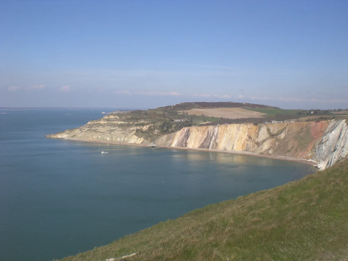
Alum Bay
Alum Bay is a mountain or hill in the United Kingdom.
 📷 5
📷 5Mountains & hills · South East England
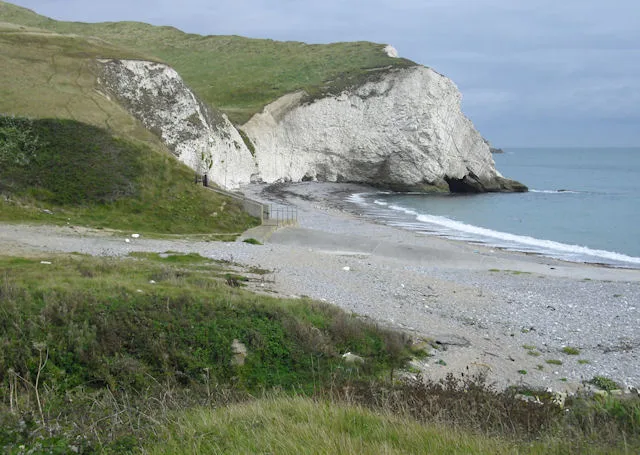
Arish Mell
Arish Mell — bay in Dorset, England.
 📷 5
📷 5Mountains & hills · South East England
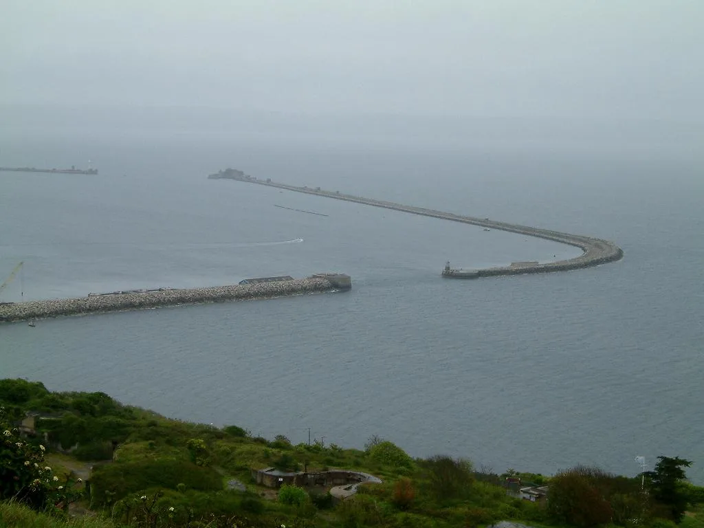
Balaclava Bay
Balaclava Bay — bay in Dorset, England.
 📷 5
📷 5Mountains & hills · South East England
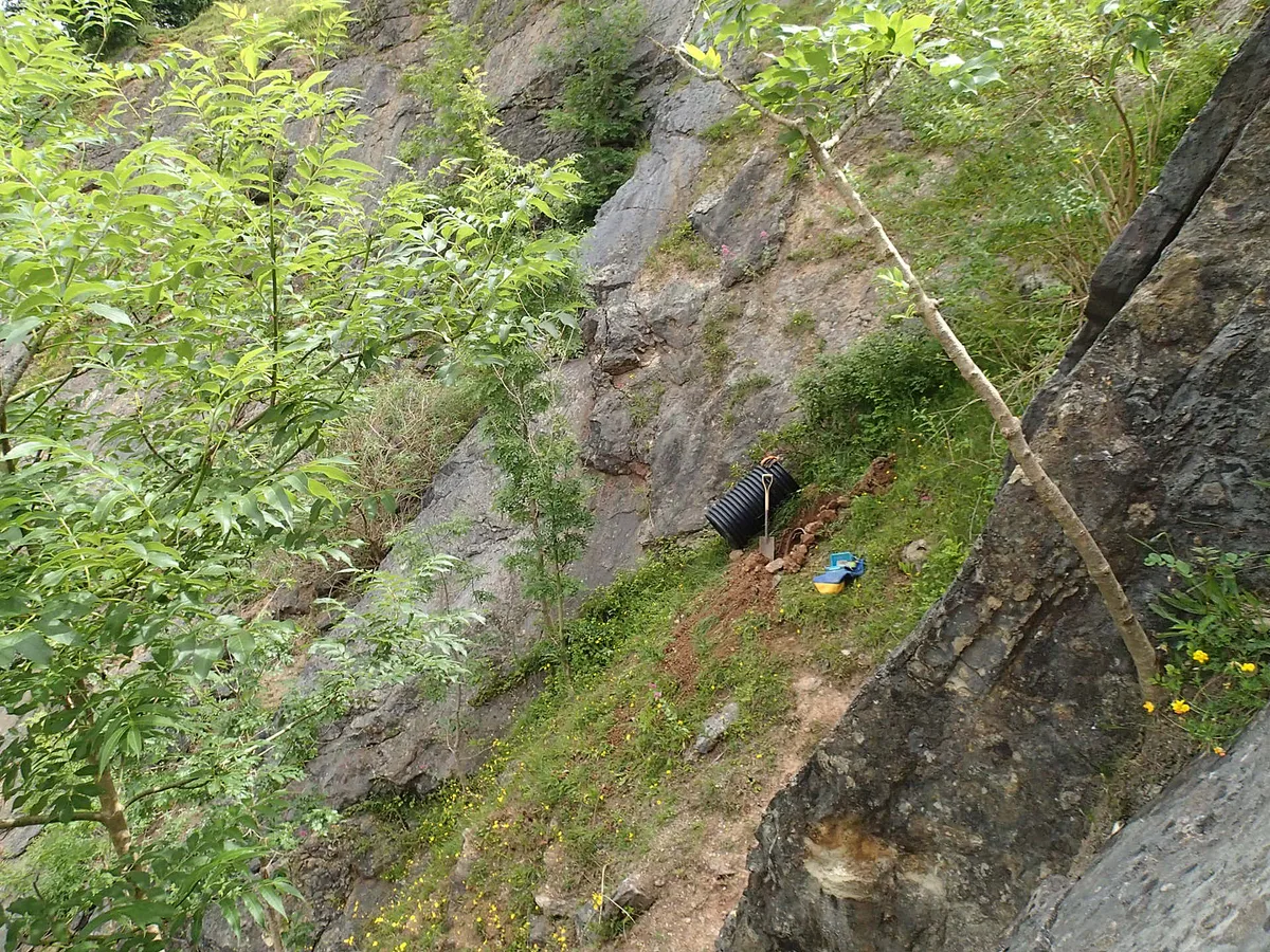
Balch Cave
Balch Cave — Cave in Somerset, England.
Frequently asked questions
- Where is Cow Down Hill?
- Cow Down Hill is in South-East England, United Kingdom.
- What is Cow Down Hill?
- Cow Down Hill — mountain in england south east. Elevation: 182 m.
- How do I get to Cow Down Hill?
- Its coordinates are 50.9934°, -1.9678°.