
Aqueducts · Central Scotland
Corrie Aqueduct Bridge
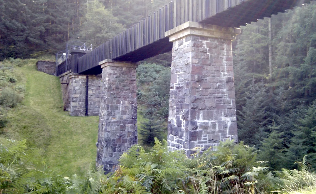
Corrie Aqueduct Bridge — bridge in Stirling, Scotland, UK, carrying the Katrine aqueduct across Kelty Water.

Wikimedia Commons contributors — see linked file page for photographer and licence licence

Plan your visit
- Typical visit
- 30 min–1 h
- Free entry
- Dog-friendly
About
Corrie Aqueduct Bridge is a aqueduct in the United Kingdom. Heritage designation: category B listed building. Part of Katrine aqueduct. Wikidata describes it as: "bridge in Stirling, Scotland, UK, carrying the Katrine aqueduct across Kelty Water". Coordinates: 56.1300°, -4.4386°.
Photo gallery
Heritage listing
Category B Date Added 18/08/2008 Local Authority Stirling Planning Authority Stirling Parish Drymen National Park Loch Lomond And The Trossachs NGR NS 48530 95709 Coordinates 248530, 695709 — Loch Lomond And Trossachs National Park Planning Authority John F Bateman (engineer) and Wylie-Smith-Davie (ironwork), dated 1858; some alterations 1860-64. Relatively low-lying 332 yard aqueduct bridge comprising iron trough carried on two earth and battered masonry embankments with single battered masonry pier to centre. Cast-iron trough to embankment sections; riveted wrought-iron to centre; coursed, bull-faced sandstone to pier and embankment. Sandstone ashlar cope and regularly-spaced gated manhole entrances to masonry embankments. Conduit emerges from sandstone archway at each end; standard GCWW plain cast-iron railings. Security cover and railings added to embankment sections of trough 2007. — The longest of the five principal aqueduct bridges built as part of the first phase of the Glasgow Corporation Water Works system (see below for significance of the scheme as a whole) from 1856 onwards. The conduit is predominantly subterranean, but the geography at the top end of the scheme necessitated a number of aqueduct bridges. Although this aqueduct bridge only has one central pier, at 332 yards it is more than 1½ times length of the next longest aqueduct bridge on scheme (Couligartan 3 - see separate listing). At the time of building the surrounding area was uninhabited, there were no roads and the local stone was unsuitable for building. The engineer, John Bateman, described these aqueduct bridges as 'somewhat peculiar', and their design results from the lack of available building stone. The iron construction was much more expensive and technologically difficult than building
From Historic Environment Scotland under OGL v3.
Place summary
Corrie Aqueduct Bridge is an aqueduct located in central Scotland, postcode FK8. It is designated as a category B listed building, notable for its historical significance and architectural features.
AI-generated from the structured facts on this page (operator, designation, listing, era). Not a substitute for visiting.
- Coordinates
- 56.1300, -4.4386
- District
- Stirling
- Postcode
- FK8 3SF
- Parliamentary constituency
- Stirling and Strathallan
Sources
- wikidata: Q17837153 (CC0)
- commons: Corrie Aqueduct - geograph.org.uk - 3747806.jpg (CC BY-SA 4.0)
Other places nearby
Loading nearby places…
Nearby
 📷 4
📷 4Other places · Scottish Highlands
Dalmary
Dalmary in Scotland Islands, United Kingdom.
📷 5Historic bridges · Central Scotland
Chapelarroch Farm Bridge
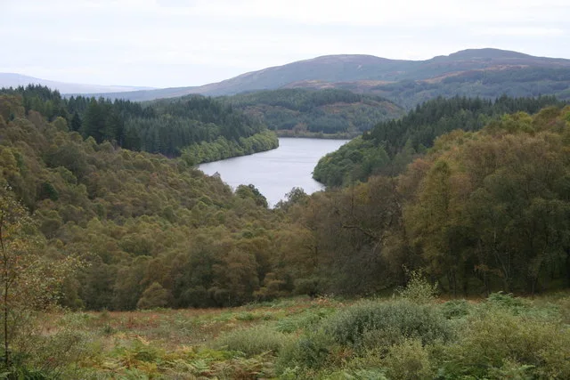
Chapelarroch Farm Bridge — category C listed building-listed bridge in scotland-central, United Kingdom.
 📷 3
📷 3Archaeological sites · Central Scotland
Queen Elizabeth Forest Park
Queen Elizabeth Forest Park — forest in Stirling, Scotland, UK.
 📷 4
📷 4Memorials & monuments · Scottish Highlands
Gartmore
Gartmore in Scotland Islands, United Kingdom.
 📷 5
📷 5Historic churches · Central Scotland
Gartmore Parish Church, Main Street, Gartmore
Gartmore Parish Church, Main Street, Gartmore — category C listed building-listed church in scotland-central, United Kingdom.
 📷 3
📷 3Memorials & monuments · Central Scotland
Cunningham Graham Memorial
Cunningham Graham Memorial — a memorial in scotland-central, United Kingdom.
More places in this region
 📷 4
📷 4Aqueducts · Central Scotland
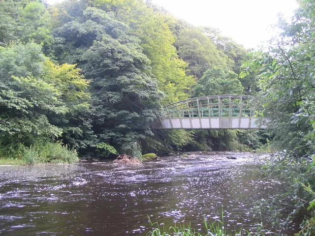
Almondell Aqueduct
Almondell Aqueduct — navigable aqueduct in West Lothian, Scotland.
 📷 3
📷 3Aqueducts · Central Scotland
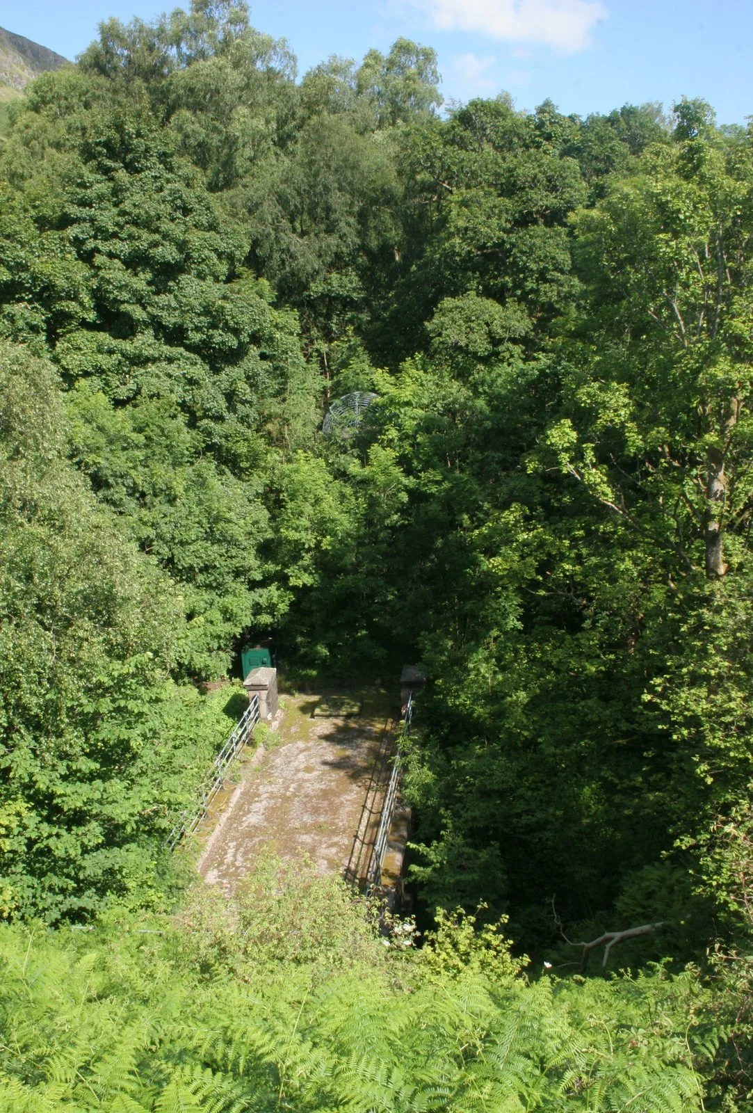
Ballewan Aqueduct Bridge (Former Glasgow Corporation Water Works), Spittal Glen
Ballewan Aqueduct Bridge (Former Glasgow Corporation Water Works), Spittal Glen — aqueduct in Stirling, Scotland, UK.
 📷 3
📷 3Aqueducts · Central Scotland
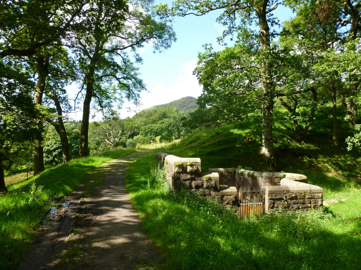
Ballewan Byewash 1 (former Glasgow Corporation Water Works)
Ballewan Byewash 1 (former Glasgow Corporation Water Works) — architectural structure in Stirling, Scotland, UK.
 📷 3
📷 3Aqueducts · Central Scotland
Couligarton Aqueduct Bridge 1
Couligarton Aqueduct Bridge 1 — aqueduct in Stirling, Scotland, UK.
Frequently asked questions
- Where is Corrie Aqueduct Bridge?
- Corrie Aqueduct Bridge is in central Scotland, United Kingdom (postcode FK8 3SF).
- Is Corrie Aqueduct Bridge a listed building?
- Corrie Aqueduct Bridge is officially recognised as category B listed building listed.
- Is Corrie Aqueduct Bridge free to visit?
- Yes, Corrie Aqueduct Bridge is free to enter.
- How do I get to Corrie Aqueduct Bridge?
- Drivers can navigate to postcode FK8 3SF. It sits within the Stirling and Strathallan parliamentary constituency.