Archaeological sites · Central Scotland
Queen Elizabeth Forest Park
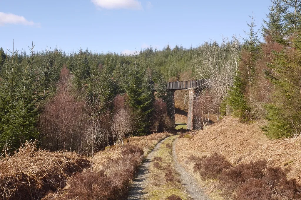
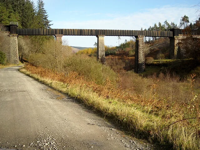
Queen Elizabeth Forest Park — forest in Stirling, Scotland, UK.

Wikimedia Commons contributors — see linked file page for photographer and licence licence
Plan your visit
- Typical visit
- 45 min–1.5 h
- Free entry
- Dog-friendly
About
Queen Elizabeth Forest Park is an archaeological site in the United Kingdom. Wikidata describes it as: "forest in Stirling, Scotland, UK". Coordinates: 56.1564°, -4.4642°.
Photo gallery
From the Wikipedia article
Queen Elizabeth Forest Park is a 19,665-hectare (48,590-acre) forest park in the Scottish Highlands which extends from the eastern shores of Loch Lomond to the mountains of Strathyre. The forest park is one of six such parks in Scotland, and was established in 1953, the year of the coronation of Queen Elizabeth II. It is owned and managed by Forestry and Land Scotland.
Excerpt from Wikipedia under CC BY-SA 4.0. See the source article linked in Sources below.
Background
Visiting
The main visitor centre for the area is The Lodge Forest Visitor Centre at Aberfoyle on the edge of the highlands on the eastern hillside of Craigmore (). There are marked hiking trails and a car trail, the Three Lochs Forest Drive.
Sourced from Wikipedia under CC BY-SA 4.0.
- Coordinates
- 56.1564, -4.4642
- District
- Stirling
- Postcode
- FK8 3XL
- Parliamentary constituency
- Stirling and Strathallan
Sources
- wikidata: Q24677924 (CC0)
- wikipedia: Queen Elizabeth Forest Park (CC BY-SA 4.0)
- commons: Achray Forest - geograph.org.uk - 669038.jpg (CC BY-SA 4.0)
Other places nearby
Loading nearby places…
Nearby
 📷 5
📷 5Castles · Central Scotland
Duchray Castle
Duchray Castle — category B listed building-listed castle in scotland-central, United Kingdom.
 📷 3
📷 3Aqueducts · Central Scotland
Couligarton Aqueduct Bridge No 3
Couligarton Aqueduct Bridge No 3 — aqueduct in Stirling, Scotland, UK.
 📷 3
📷 3Natural landmarks · Scottish Highlands
Black Linn of Blairvaich
Black Linn of Blairvaich in Scotland Islands, United Kingdom.
 📷 3
📷 3Public art & sculpture · Central Scotland
Red Rebels
Red Rebels — a public art in scotland-central, United Kingdom.
Campsites · Central Scotland
Loch Ard camping permit area March-September
Loch Ard camping permit area March-September — a campsite in scotland central.
 📷 3
📷 3Aqueducts · Central Scotland
Couligarton Aqueduct Bridge No 2
Couligarton Aqueduct Bridge No 2 — aqueduct in Stirling, Scotland, UK.
More archaeological sites in this region
 📷 3
📷 3Archaeological sites · Central Scotland
Abbotshaugh Community Woodland
Abbotshaugh Community Woodland — woodland in Falkirk, Scotland.
 📷 3
📷 3Archaeological sites · Central Scotland
Ardunie Roman Signal Station
Ardunie Roman Signal Station — archaeological site in Perth and Kinross, Scotland, UK.
 📷 3
📷 3Archaeological sites · Central Scotland
Cardrona Forest
Cardrona Forest — forest in Scottish Borders, Scotland, UK.
 📷 3
📷 3Archaeological sites · Central Scotland
Coldoch Broch
Coldoch Broch — archaeological site in Stirling, Scotland, UK.
Frequently asked questions
- Where is Queen Elizabeth Forest Park?
- Queen Elizabeth Forest Park is in Central Scotland, in the United Kingdom — coordinates 56.1564°, -4.4642°.
- Is Queen Elizabeth Forest Park free to visit?
- Yes — admission to Queen Elizabeth Forest Park is free.