
Wildlife reserves · East of England
Cople Pits
In or near Cople.
Cople Pits — nature reserve in the United Kingdom.

Wikimedia Commons contributors — see linked file page for photographer and licence licence

Plan your visit
- Typical visit
- 2 h–4 h
- Best time of year
- Autumn & winter (migration & wildfowl)
- Nearest railway station
- Bedford St Johns · 5.3 km
- Free entry
- Family-friendly
- Dog-friendly
- Limited wheelchair access
Getting there & planning your visit
Cople Pits is located in Bedford, with the nearest railway station being Bedford St Johns, approximately 5.3 km away. Entry to the wildlife reserve is free, but wheelchair accessibility is limited. The postcode for sat-nav is MK44 3TN.
About
Cople Pits is a wildlife reserve in the United Kingdom. Managed by Wildlife Trust for Bedfordshire, Cambridgeshire and Northamptonshire. Wikidata describes it as: "nature reserve in the United Kingdom". Coordinates: 52.1302°, -0.3899°.
Photo gallery
Summary from the official site
Cople Pits is a nature reserve located in Bedfordshire, England, covering 2 hectares. The area features eleven water-filled pits, remnants of gravel extraction, surrounded by diverse flora and fauna, including dragonflies, kingfishers, and woodpeckers.
From the Wikipedia article
Cople Pits is a 2-hectare (4.9-acre) nature reserve in Cople in Bedfordshire. It is managed by the Wildlife Trust for Bedfordshire, Cambridgeshire and Northamptonshire. The site has eleven long water-filled pits from gravel extraction in the 1930s, which are now surrounded by willow and hawthorn scrub. The pits have been colonised by aquatic plants. Fauna include dragonflies, kingfishers and woodpeckers, and there is also a wildflower meadow. There is access by a short footpath from Willington Road, adjacent to All Saints Road.
Excerpt from Wikipedia under CC BY-SA 4.0. See the source article linked in Sources below.
- Coordinates
- 52.1302, -0.3899
- District
- Bedford
- Parish
- Cople
- Postcode
- MK44 3TN
- Parliamentary constituency
- North Bedfordshire
- Nearest railway station
- Bedford St Johns — 5.3 km
Sources
- wikidata: Q5168619 (CC0)
- wikipedia: Cople Pits (CC BY-SA 4.0)
- commons: Cople Pits 8.JPG (CC BY-SA 4.0)
Other places nearby

Cople Pits
Forests & woodlands · 0.0 km
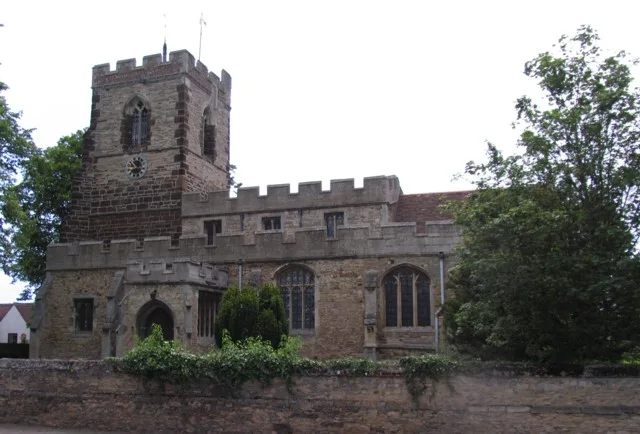
Church of All Saints, Cople
Historic churches · 0.7 km

Willington Stables
Natural landmarks · 0.8 km
Willington Dovecote
Natural landmarks · 0.8 km

Cople
Towns & cities · 0.9 km

Settlement site N of Chapel End Farm
Vineyards · 1.2 km

Renhold Castle
Literary houses · 2.1 km

Renhold Castle
Castles · 2.1 km
Renhold
Castles · 2.1 km

Risinghoe Castle Mills
Castles · 2.1 km
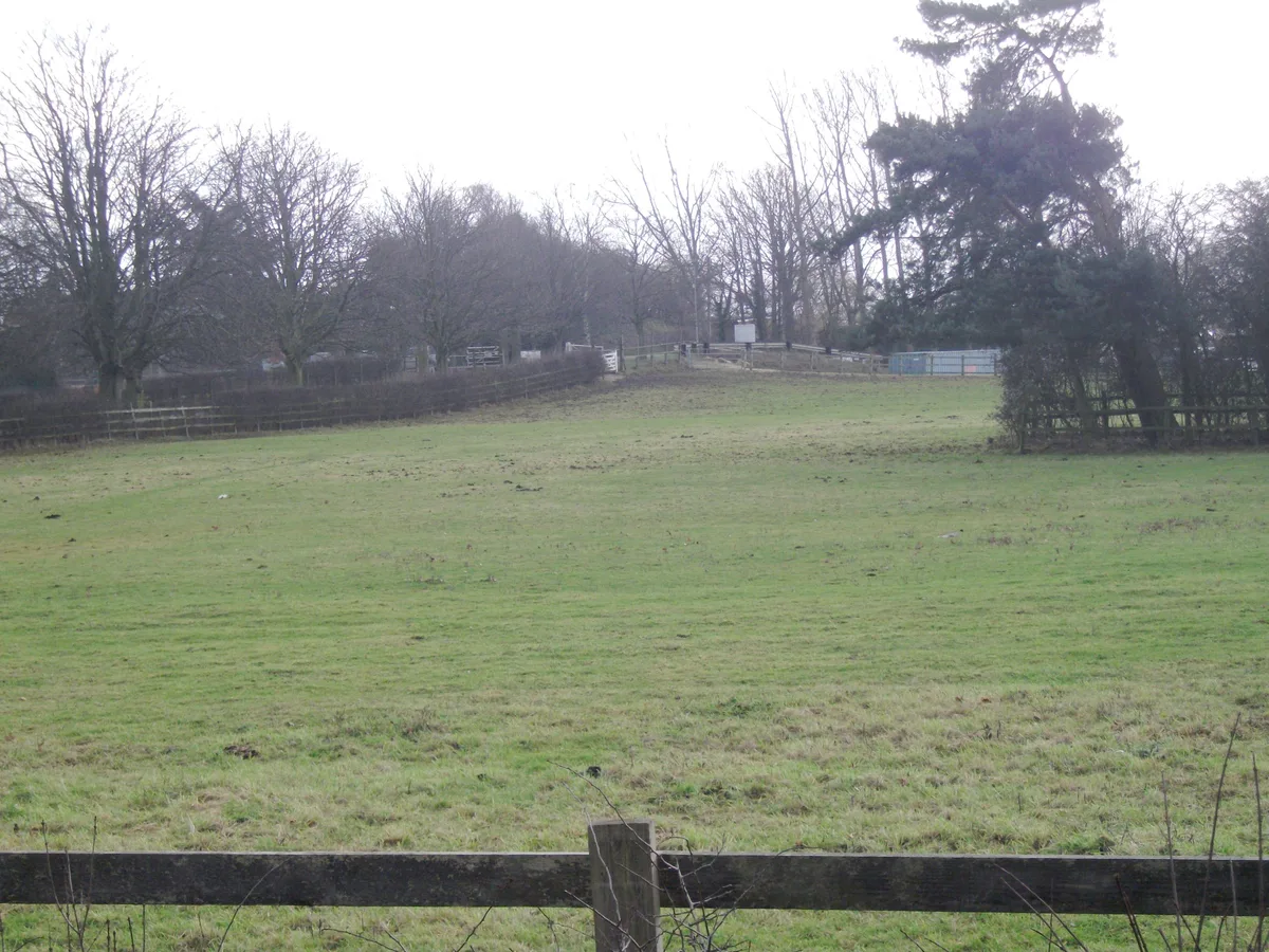
Risinghoe Castle
Castles · 2.1 km

Cardington Bridge
Historic bridges · 2.1 km
Nearby
📷 5Forests & woodlands · East of England
Cople Pits
Cople Pits is a forest or woodland in the United Kingdom.
📷 5Historic churches · East of England
Church of All Saints, Cople
Church of All Saints, Cople — Grade I listed church in Cople, Bedford, Bedfordshire, England, UK.
📷 5Natural landmarks · East of England
Willington Stables
Willington Stables — a place in East of England, United Kingdom.
📷 5Natural landmarks · East of England
Willington Dovecote
Willington Dovecote — a place in East of England, United Kingdom.
📷 5Towns & cities · East of England
Cople
Cople — village and civil parish in Bedfordshire, UK.
📷 3Vineyards · East of England
Settlement site N of Chapel End Farm
Settlement site N of Chapel End Farm — a UK vineyard in england london, producing English or Welsh wine from cool-climate grape varieties.
Where to eat & stay near Cople Pits
Places to stay
 📷 5
📷 5Campsites · East of England
Jordans Close Scout Activity Centre
Jordans Close Scout Activity Centre — a campsite in england london.
 📷 7
📷 7 📷 7
📷 7B&Bs · East of England
Old Warden Guest House
Old Warden Guest House — a bed-and-breakfast in england london.
 📷 5
📷 5 📷 5
📷 5 📷 5
📷 5Places to eat & drink
 📷 5
📷 5Historic pubs · East of England
The Anchor Public House
The Anchor Public House in England East, United Kingdom.
 📷 5
📷 5Historic pubs · East of England
Kings Arms Public House
Kings Arms Public House in England East, United Kingdom.
 📷 5
📷 5 📷 5
📷 5Historic pubs · East of England
Ye Olde Plough Public House
Ye Olde Plough Public House in England East, United Kingdom.
 📷 5
📷 5 📷 5
📷 5More places run by Wildlife Trust for Bedfordshire, Cambridgeshire and Northamptonshire
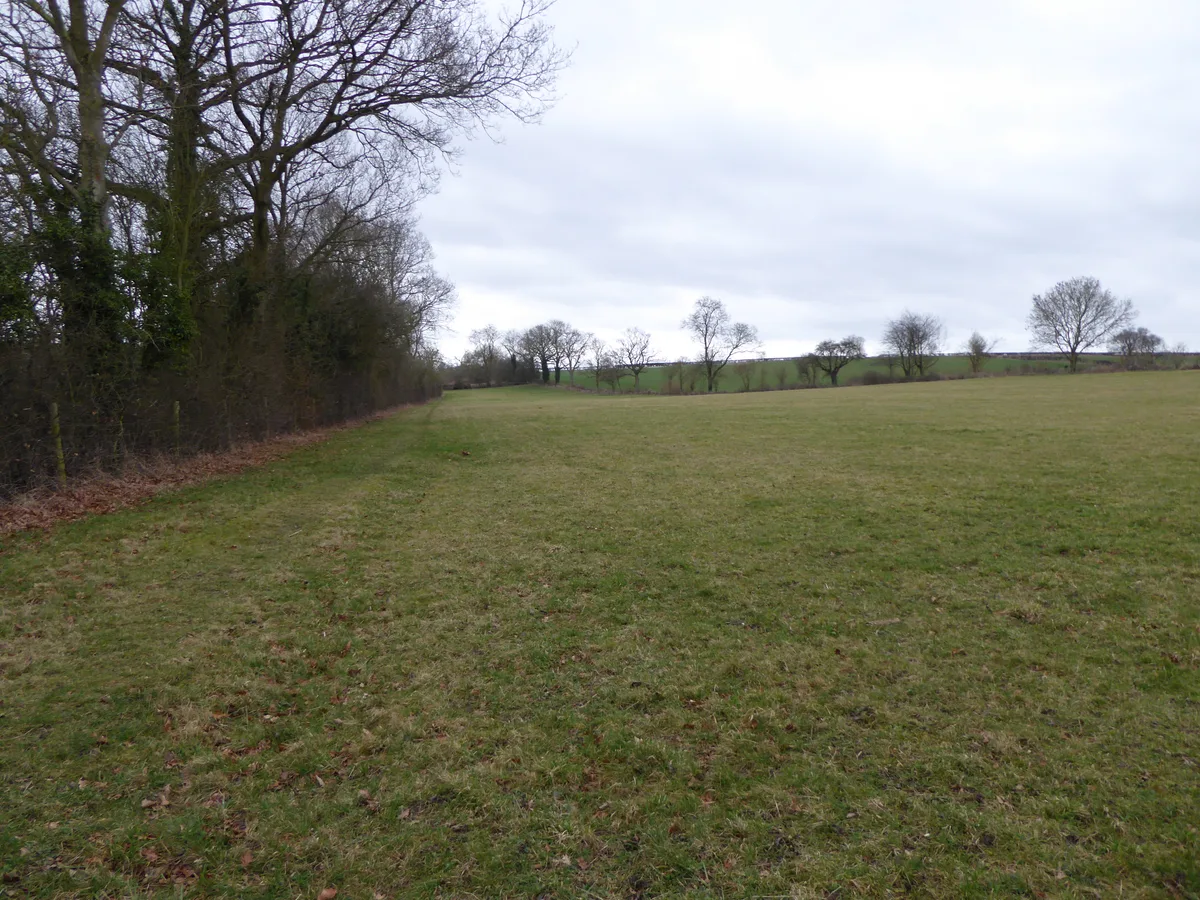 📷 5
📷 5Wildlife reserves · South East England
Boddington Meadow
Boddington Meadow — nature reserve in the United Kingdom.
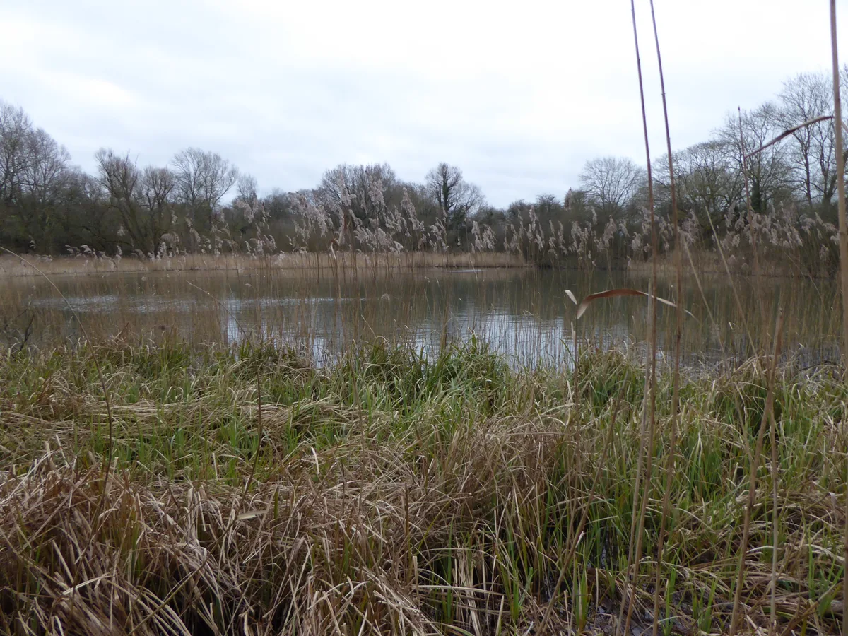 📷 3
📷 3Wildlife reserves · South East England
Byfield Pool
Byfield Pool — nature reserve in the United Kingdom.
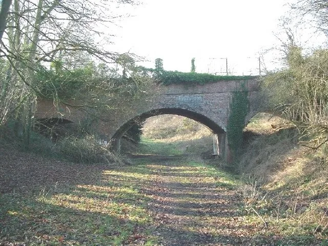 📷 5
📷 5Wildlife reserves · South East England
Farthinghoe Nature Reserve
Farthinghoe Nature Reserve — nature reserve in the United Kingdom.
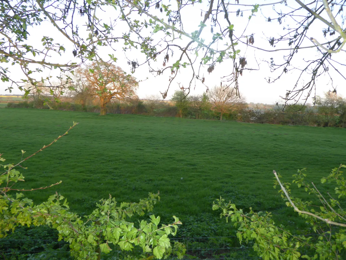 📷 3
📷 3Wildlife reserves · South East England
Grafton Regis Meadow
Grafton Regis Meadow — nature reserve in the United Kingdom.
More places in this region
 Flagship📷 10
Wildlife reserves · East of England
Amwell Quarry
Amwell Quarry — nature reserve in United Kingdom.
 Flagship📷 10
Wildlife reserves · East of England
Aubrey Buxton Nature Reserve
Aubrey Buxton Nature Reserve — Essex Wildlife Trust Nature reserve.
 Flagship📷 10
Wildlife reserves · East of England
Canvey Wick
Canvey Wick — nature reserve in Essex, United Kingdom.
 Flagship📷 10
Wildlife reserves · East of England
Crowsheath Wood
Crowsheath Wood — Essex Wildlife Trust Nature reserve.
Frequently asked questions
- Where is Cople Pits?
- Cople Pits is in East of England, United Kingdom (postcode MK44 3TN), in the parish of Cople.
- What is Cople Pits?
- Cople Pits — nature reserve in the United Kingdom.
- How do I get to Cople Pits?
- The nearest railway station is Bedford St Johns, about 5.3 km away. The nearest town is Cople. Drivers can use postcode MK44 3TN.
- Who runs Cople Pits?
- Cople Pits is operated by Wildlife Trust for Bedfordshire, Cambridgeshire and Northamptonshire.
- Is Cople Pits free to visit?
- Yes, Cople Pits is free to enter.
- How do I get to Cople Pits?
- The nearest railway station is Bedford St Johns, about 5.3 km away. Drivers can navigate to postcode MK44 3TN.
- Are dogs allowed at Cople Pits?
- Most wildlife reserves allow dogs on lead only, with restrictions during ground-nesting bird season (March-July). Check signage at the reserve.