
Gardens · East Midlands
Cold Overton Hall And Adjoining Garden Walls
In or near Langham.
Cold Overton Hall And Adjoining Garden Walls — a Grade I-listed garden in england-west-midlands, United Kingdom.

Roger Templeman — CC BY-SA 2.0 via Wikimedia Commons licence

Plan your visit
- Typical visit
- 1 h–2.5 h
- Best time of year
- Spring & summer (Apr–Sep)
- Nearest railway station
- Oakham · 4.8 km
- Dog-friendly
Getting there & planning your visit
To visit Cold Overton Hall And Adjoining Garden Walls, the nearest railway station is Oakham, located 4.8 km away. The postcode for sat-nav is LE15 7QA. Entry details are not provided, so please check before your visit.
About
Cold Overton Hall And Adjoining Garden Walls is a Grade I-listed building in england-west-midlands, United Kingdom. Grade I status is conferred by Historic England (or Cadw, Historic Environment Scotland or NIEA equivalents) on buildings of exceptional national interest. See the linked Wikipedia article for full historical and architectural details.
Photo gallery
From the Wikipedia article
Cold Overton Hall is a country house in the village of Cold Overton, Leicestershire, England. Built c. 1630 for John St John, it is a Grade I listed building. The hall is built in three storeys plus attics with a 5 bay frontage. It is constructed of ironstone with limestone dressings and a hipped Swithland slate roof. The west front has a two-storey flat roofed porch projecting from a pedimented 3 bay centre.
Excerpt from Wikipedia under CC BY-SA 4.0. See the source article linked in Sources below.
Background
History
John St John, High Sheriff of Leicestershire in 1632, bought the manor of Cold Overton from the Earl of Northampton c.1620 and built the present hall c.1630. The earliest recorded Lord of the Manor is Ulf Fenman in 1066. In the early 18th century, it was sold by the St John family to the self-made merchant Turner family, in which it descended to a John Turner. Having no heir, he willed it to his cousin Layton Frewen, who also died childless and left it in 1777 to his own cousin, the Rev Thomas Frewen, who thereupon adopted the additional surname of Turner. The property passed to his son John Frewen-Turner, who was MP for Athlone (1807–1812) and High Sheriff of Leicestershire in 1791. In the…
Sourced from Wikipedia under CC BY-SA 4.0.
- Coordinates
- 52.6824, -0.8034
- County
- Leicestershire
- District
- Melton
- Parish
- Knossington and Cold Overton
- Postcode
- LE15 7QA
- Parliamentary constituency
- Melton and Syston
- Nearest railway station
- Oakham — 4.8 km
- Official site
- www.thewrennreport.co.uk
Sources
- wikidata: Q17525599 (CC0)
- wikipedia: Cold Overton Hall (CC BY-SA 4.0)
Other places nearby
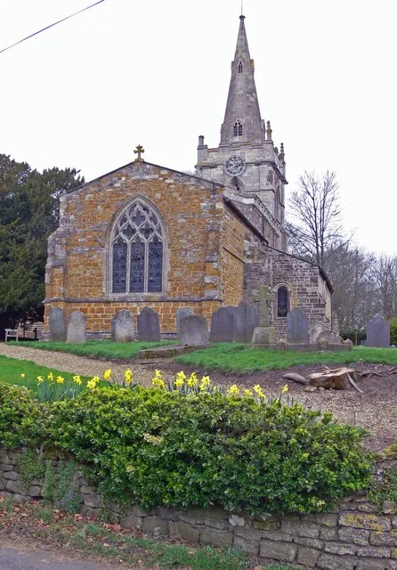
Church of St John the Baptist
Historic churches · 0.1 km

Cold Overton Hill
Mountains & hills · 0.7 km

Knossington
Villages · 1.7 km

Ranksborough Hill
Mountains & hills · 1.8 km

Cold Overton Park
Mountains & hills · 2.3 km

Cold Overton Park
Parks · 2.4 km
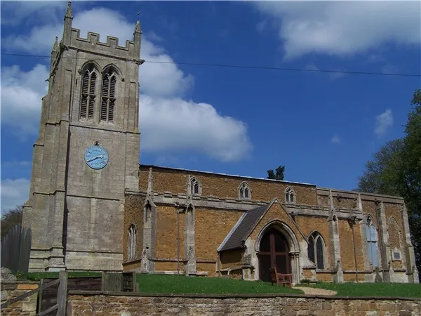
Church of All Saints
Historic churches · 2.7 km

Pickwell War Memorial
Memorials & monuments · 2.8 km
.jpg?width=1200)
Somerby House
Historic houses · 3.0 km
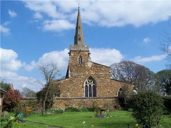
Church of All Saints
Historic churches · 3.1 km

Somerby
Villages · 3.2 km

The Stilton Cheese
Historic pubs · 3.3 km
Nearby
📷 3Historic churches · East Midlands
Church of St John the Baptist
Church of St John the Baptist — church in Cold Overton, Leicestershire, England, UK.
📷 5Mountains & hills · East Midlands
Cold Overton Hill
Cold Overton Hill — a hill or mountain in england west midlands.
📷 5📷 5Mountains & hills · East Midlands
Ranksborough Hill
Ranksborough Hill — a hill or mountain in england west midlands.
📷 5Mountains & hills · East Midlands
Cold Overton Park
Cold Overton Park — mountain in england west midlands. Elevation: 197 m.
📷 3Where to eat & stay near Cold Overton Hall And Adjoining Garden Walls
Places to stay
 📷 5
📷 5Caravan parks · East Midlands
Greendale Farm Caravan Park
Greendale Farm Caravan Park — a caravan park in england east midlands.
 📷 7
📷 7Hotels · East Midlands
Wisteria Hotel
Wisteria Hotel — a hotel in england west midlands.
 📷 5
📷 5Campsites · East Midlands
The Paddock
The Paddock — a campsite in england west midlands.
📷 5Campsites · East Midlands
Lyndon Top
Lyndon Top — a campsite in england west midlands.
 📷 5
📷 5 📷 5
📷 5Campsites · East Midlands
Wing Hall Camping & Caravan Site
Wing Hall Camping & Caravan Site — a campsite in england west midlands.
Places to eat & drink
📷 5Historic pubs · East Midlands
The Stilton Cheese
The Stilton Cheese in England East Midlands, United Kingdom.
 📷 5
📷 5 📷 5
📷 5Historic pubs · East Midlands
Three Horse Shoes Public House
Three Horse Shoes Public House in England East, United Kingdom.
 📷 7
📷 7 📷 7
📷 7Historic pubs · East Midlands
Anne of Cleves
Anne of Cleves — Historic pub — listed building or notable heritage status.
 📷 7
📷 7Cafés · East Midlands
The Storehouse At The Fox
The Storehouse At The Fox — a café in england east midlands.
More gardens in this region
 📷 5
📷 5 📷 5
📷 5Gardens · East Midlands
Elgood's Brewery Visitor Centre and Gardens
Elgood's Brewery Visitor Centre and Gardens — a garden in england-london, United Kingdom.
 📷 5
📷 5Gardens · East Midlands
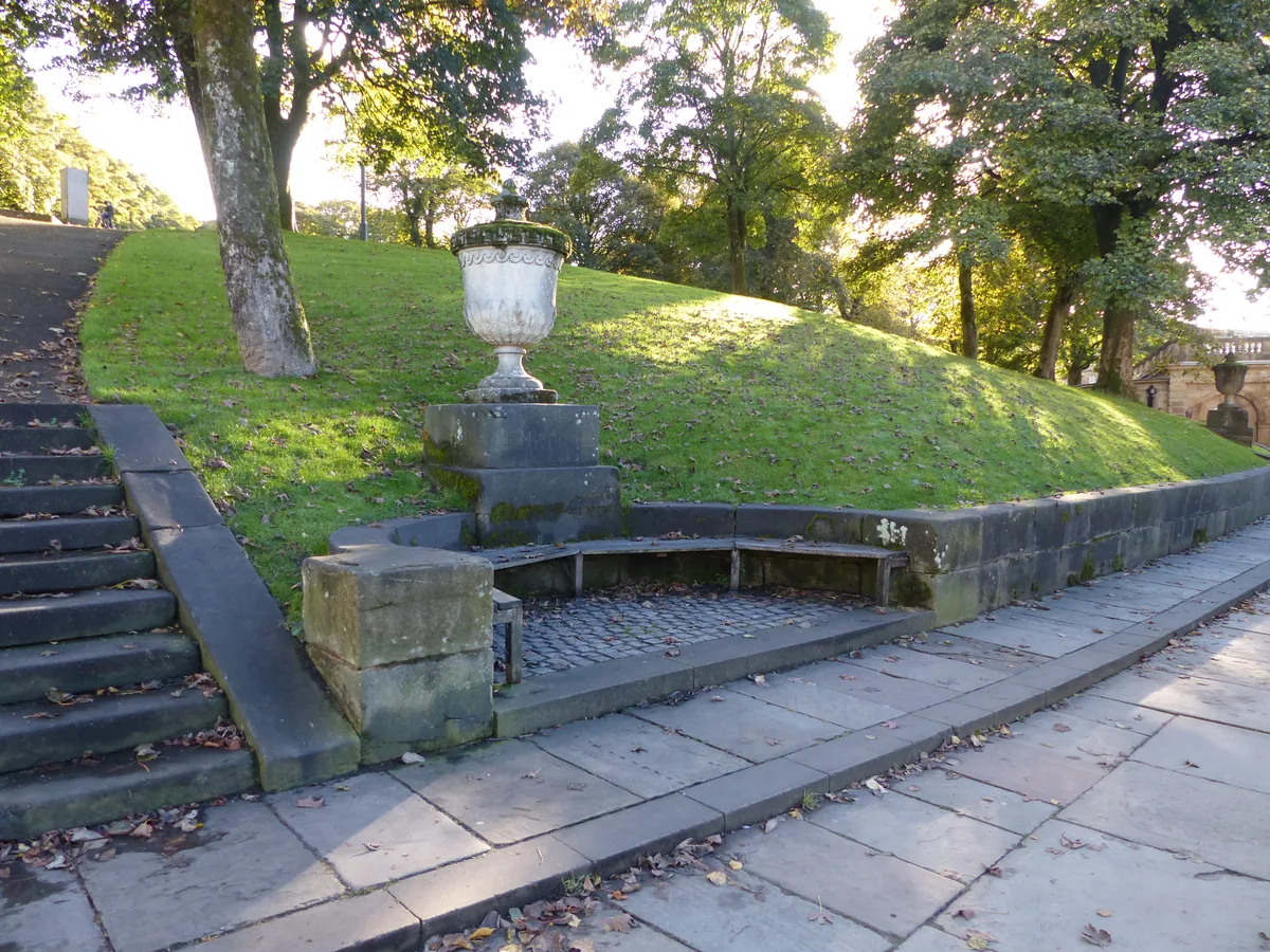
Buxton Pavilion Gardens
Buxton Pavilion Gardens is a Victorian landscaped public park in the spa town of Buxton in Derbyshire. The River Wye flows through the gardens, which are a Grade II* listed public park of Special Hist
 📷 3
📷 3Frequently asked questions
- Where is Cold Overton Hall And Adjoining Garden Walls?
- Cold Overton Hall And Adjoining Garden Walls is in Leicestershire, the West Midlands, United Kingdom (postcode LE15 7QA), in the parish of Knossington and Cold Overton.
- What is Cold Overton Hall And Adjoining Garden Walls?
- Cold Overton Hall And Adjoining Garden Walls — a Grade I-listed garden in england-west-midlands, United Kingdom.
- How do I get to Cold Overton Hall And Adjoining Garden Walls?
- The nearest railway station is Oakham, about 4.8 km away. Drivers can use postcode LE15 7QA.
- Is Cold Overton Hall And Adjoining Garden Walls a listed building?
- Cold Overton Hall And Adjoining Garden Walls is officially recognised as Grade I listed.
- How do I get to Cold Overton Hall And Adjoining Garden Walls?
- The nearest railway station is Oakham, about 4.8 km away. Drivers can navigate to postcode LE15 7QA.