
Wildlife reserves · East of England
Church Farm Marshes
In or near Wenhaston.
Church Farm Marshes — Suffolk Wildlife Trust nature reserve.

Wikimedia Commons contributors — see linked file page for photographer and licence licence
_and_Thorington_-_geograph.org.uk_-_74240.jpg)
Plan your visit
- Typical visit
- 2 h–4 h
- Best time of year
- Autumn & winter (migration & wildfowl)
- Nearest railway station
- Blythburgh · 3.5 km
- Free entry
- Family-friendly
- Dog-friendly
- Limited wheelchair access
Getting there & planning your visit
To visit Church Farm Marshes, the nearest railway station is Blythburgh, located 3.5 km away. The postcode for sat-nav is IP19 9JG, and entry to the reserve is free. Accessibility is limited for wheelchair users.
About
Church Farm Marshes is a wildlife reserve in the United Kingdom. Managed by Suffolk Wildlife Trust. Wikidata describes it as: "Suffolk Wildlife Trust nature reserve". Coordinates: 52.3100°, 1.5500°.
Photo gallery
Protected designations
- Area of Outstanding Natural Beauty: Suffolk Coast & Heaths
Designations sourced from Natural England open data under OGL v3.
From the Wikipedia article
Church Farm Marshes is a 56 hectare nature reserve in Thorington in Suffolk. It is managed by the Suffolk Wildlife Trust. This site has areas of marshland, wet and dry woodland, and grassland. The flower-rich marshes have southern marsh orchid, marsh marigold and ragged robin. Grazing maintains diversity of flora in the meadows and marshes, ensuring a good population of insects which provide food for birds. There is access to the reserve from Thorington Road near the church.
Excerpt from Wikipedia under CC BY-SA 4.0. See the source article linked in Sources below.
- Coordinates
- 52.3100, 1.5500
- County
- Suffolk
- District
- East Suffolk
- Parish
- Thorington
- Postcode
- IP19 9JG
- Parliamentary constituency
- Suffolk Coastal
- Nearest railway station
- Blythburgh — 3.5 km
Sources
- wikidata: Q38251405 (CC0)
- wikipedia: Church Farm Marshes (CC BY-SA 4.0)
- commons: Marshes between Blackheath (Wenhaston) and Thorington - geograph.org.uk - 74240.jpg (CC BY-SA 4.0)
Other places nearby

St Peter's Church, Thorington
Historic churches · 0.3 km

Thorington Theatre
Theatres · 1.1 km

Wenhaston War Memorial
Memorials & monuments · 1.6 km

Wenhaston Village Sign
Public art & sculpture · 1.6 km

Church of St Peter
Historic churches · 1.6 km
Wenhaston
Towns & cities · 1.7 km

Castle Yard
Castles · 1.8 km

Bramfield Castle Yard
Literary houses · 1.9 km

Bramfield Village Sign
Public art & sculpture · 2.1 km

Bramfield to London 98
Memorials & monuments · 2.2 km

Bramfield War Memorial
Memorials & monuments · 2.2 km

St Andrew's Church, Bramfield
Historic churches · 2.2 km
Nearby
📷 3Historic churches · East of England
St Peter's Church, Thorington
St Peter's Church, Thorington — Grade I listed church in Thorington, Suffolk, England, UK.
📷 3Theatres · East of England
Thorington Theatre
Thorington Theatre is a theatre in the United Kingdom.
📷 3Memorials & monuments · East of England
Wenhaston War Memorial
Wenhaston War Memorial — Grade II listed building-listed memorial in england-east, United Kingdom.
📷 3Public art & sculpture · East of England
Wenhaston Village Sign
Wenhaston Village Sign — a public art in East of England, United Kingdom.
📷 3Historic churches · East of England
Church of St Peter
Church of St Peter — church in Wenhaston, Suffolk, England, UK.
📷 3Where to eat & stay near Church Farm Marshes
Places to stay
 📷 5
📷 5Caravan parks · East of England
Haw Wood Caravan Park
Haw Wood Caravan Park — a caravan park in england east.
 📷 5
📷 5 📷 5
📷 5 📷 5
📷 5Campsites · East of England
Mill Hill Farm Camping
Mill Hill Farm Camping — a campsite in england east.
 📷 7
📷 7 📷 5
📷 5Campsites · East of England
Halesworth Holiday Park
Halesworth Holiday Park — a campsite in england east.
Places to eat & drink
 📷 6
📷 6Historic pubs · East of England
The Swan, Peasenhall
The Swan, Peasenhall in England East, United Kingdom.
 📷 5
📷 5Historic pubs · East of England
Huntingfield Arms
Huntingfield Arms in England East, United Kingdom.
 📷 5
📷 5Historic pubs · East of England
Cherry Tree Public House
Cherry Tree Public House in England East, United Kingdom.
 📷 5
📷 5 📷 7
📷 7Historic pubs · East of England
The Parrot And Punchbowl Public House
The Parrot And Punchbowl Public House in England East, United Kingdom.
 📷 7
📷 7Historic pubs · East of England
George and Dragon, Farnham
George and Dragon, Farnham in England East, United Kingdom.
More places run by Suffolk Wildlife Trust
 Flagship📷 3
Wildlife reserves · East of England
Alde Mudflats
Alde Mudflats — Suffolk Wildlife Trust nature reserve.
 📷 5
📷 5Wildlife reserves · East of England
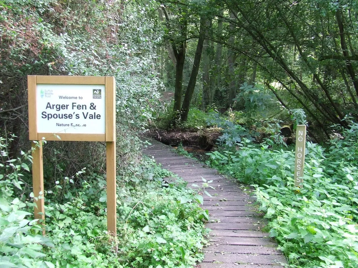
Arger Fen
Arger Fen — Suffolk Wildlife Trust nature reserve.
 Flagship📷 5
Wildlife reserves · East of England
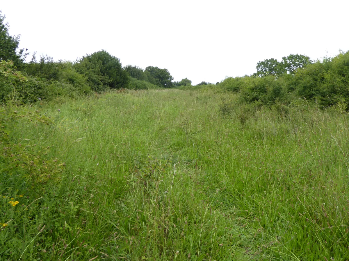
Black Bourn Valley
Black Bourn Valley — Suffolk Wildlife Trust nature reserve.
 📷 3
📷 3Wildlife reserves · East of England
Blaxhall Common
Blaxhall Common — Suffolk Wildlife Trust nature reserve.
More places in this region
 Flagship📷 10
Wildlife reserves · East of England
Amwell Quarry
Amwell Quarry — nature reserve in United Kingdom.
 Flagship📷 10
Wildlife reserves · East of England
Aubrey Buxton Nature Reserve
Aubrey Buxton Nature Reserve — Essex Wildlife Trust Nature reserve.
 Flagship📷 10
Wildlife reserves · East of England
Canvey Wick
Canvey Wick — nature reserve in Essex, United Kingdom.
 Flagship📷 10
Wildlife reserves · East of England
Crowsheath Wood
Crowsheath Wood — Essex Wildlife Trust Nature reserve.
Frequently asked questions
- Where is Church Farm Marshes?
- Church Farm Marshes is in Suffolk, East of England, United Kingdom (postcode IP19 9JG), in the parish of Thorington.
- What is Church Farm Marshes?
- Church Farm Marshes — Suffolk Wildlife Trust nature reserve.
- How do I get to Church Farm Marshes?
- The nearest railway station is Blythburgh, about 3.5 km away. The nearest town is Wenhaston. Drivers can use postcode IP19 9JG.
- Who runs Church Farm Marshes?
- Church Farm Marshes is operated by Suffolk Wildlife Trust.
- Is Church Farm Marshes a protected site?
- Yes — Church Farm Marshes is part of the Suffolk Coast & Heaths National Landscape (AONB).
- Is Church Farm Marshes free to visit?
- Yes, Church Farm Marshes is free to enter.
- How do I get to Church Farm Marshes?
- The nearest railway station is Blythburgh, about 3.5 km away. Drivers can navigate to postcode IP19 9JG.
- Are dogs allowed at Church Farm Marshes?
- Most wildlife reserves allow dogs on lead only, with restrictions during ground-nesting bird season (March-July). Check signage at the reserve.