Towns & cities · North West England
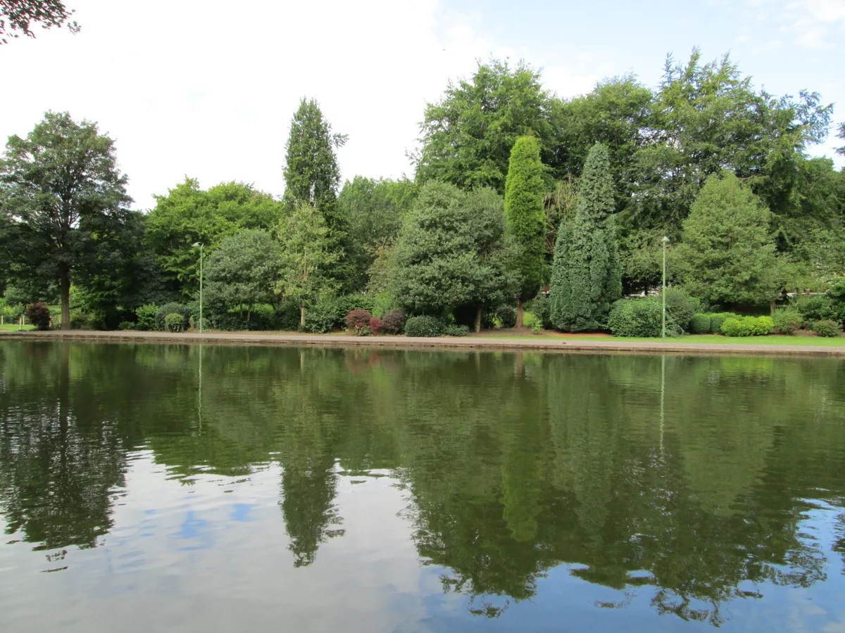
Chesterton, Staffordshire
Chesterton is a former mining village on the edge of Newcastle-under-Lyme, in the Newcastle-under-Lyme district, in Staffordshire, England. Chesterton is the second largest individual ward in the Boro

Colin Park — CC BY-SA 2.0 via Wikimedia Commons licence
Plan your visit
- Typical visit
- 3 h–6 h
- Nearest railway station
- Apedale Road · 1.2 km
About
Chesterton is a former mining village on the edge of Newcastle-under-Lyme, in the Newcastle-under-Lyme district, in Staffordshire, England. Chesterton is the second largest individual ward in the Borough of Newcastle-under-Lyme. In the 2011 census, Chesterton's population stood at 7,421.
Photo gallery
From the Wikipedia article
Chesterton is a former mining village on the edge of Newcastle-under-Lyme, in the Newcastle-under-Lyme district, in Staffordshire, England. Chesterton is the second largest individual ward in the Borough of Newcastle-under-Lyme. In the 2011 census, Chesterton's population stood at 7,421.
Excerpt from Wikipedia under CC BY-SA 4.0. See the source article linked in Sources below.
- Coordinates
- 53.0424, -2.2509
- County
- Staffordshire
- District
- Newcastle-under-Lyme
- Parish
- Newcastle-under-Lyme, unparished area
- Postcode
- ST5 7EG
- Parliamentary constituency
- Newcastle-under-Lyme
- Nearest railway station
- Apedale Road — 1.2 km
Sources
- wikipedia: Chesterton, Staffordshire (CC BY-SA 4.0)
Other places nearby
Chesterton War Memorial
Memorials & monuments · 0.2 km

Holditch Roman industrial site
Archaeological sites · 1.3 km

Apedale Heritage Centre
Museums · 1.5 km

Watermills Chimney
Memorials & monuments · 1.7 km

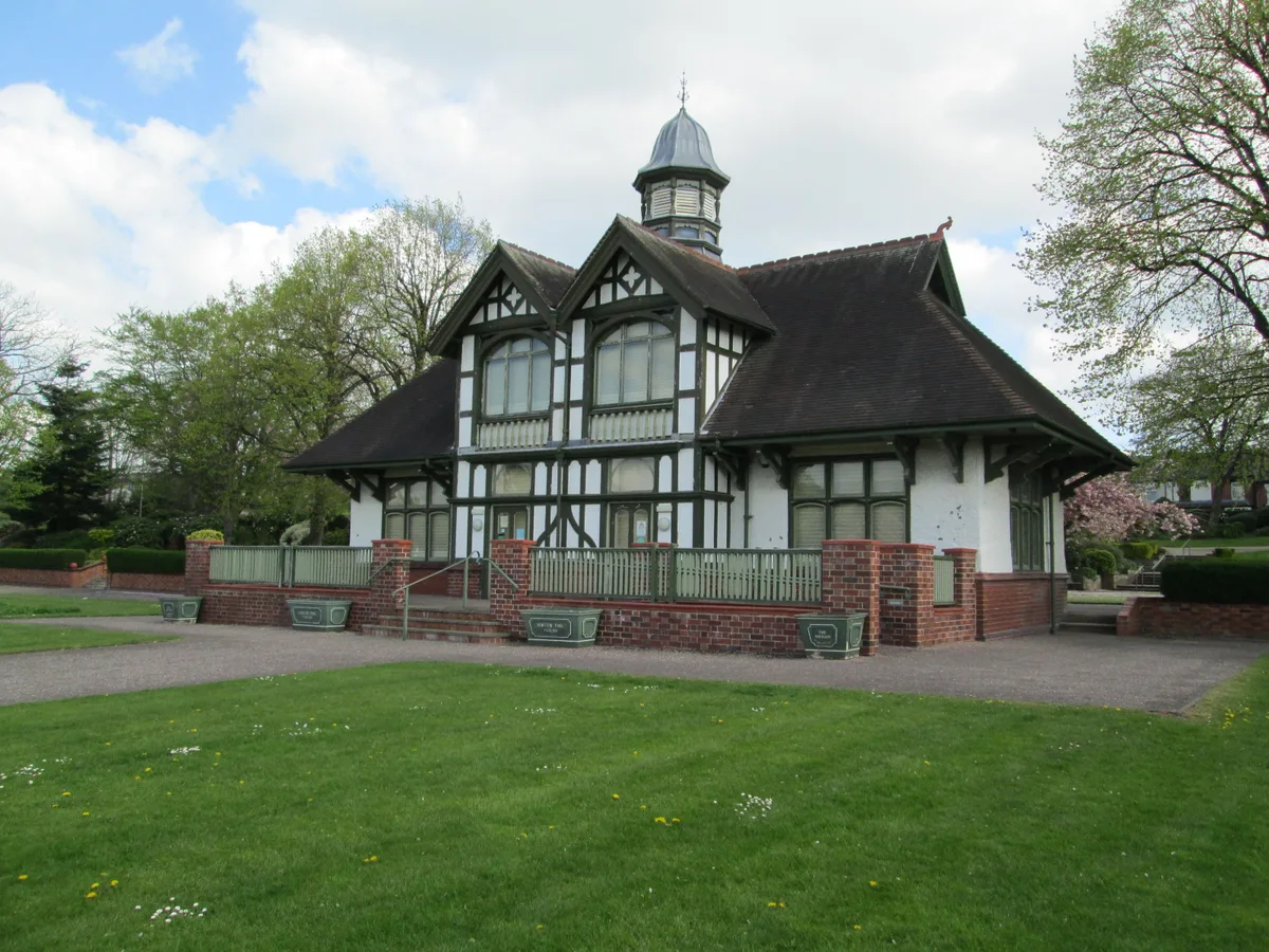
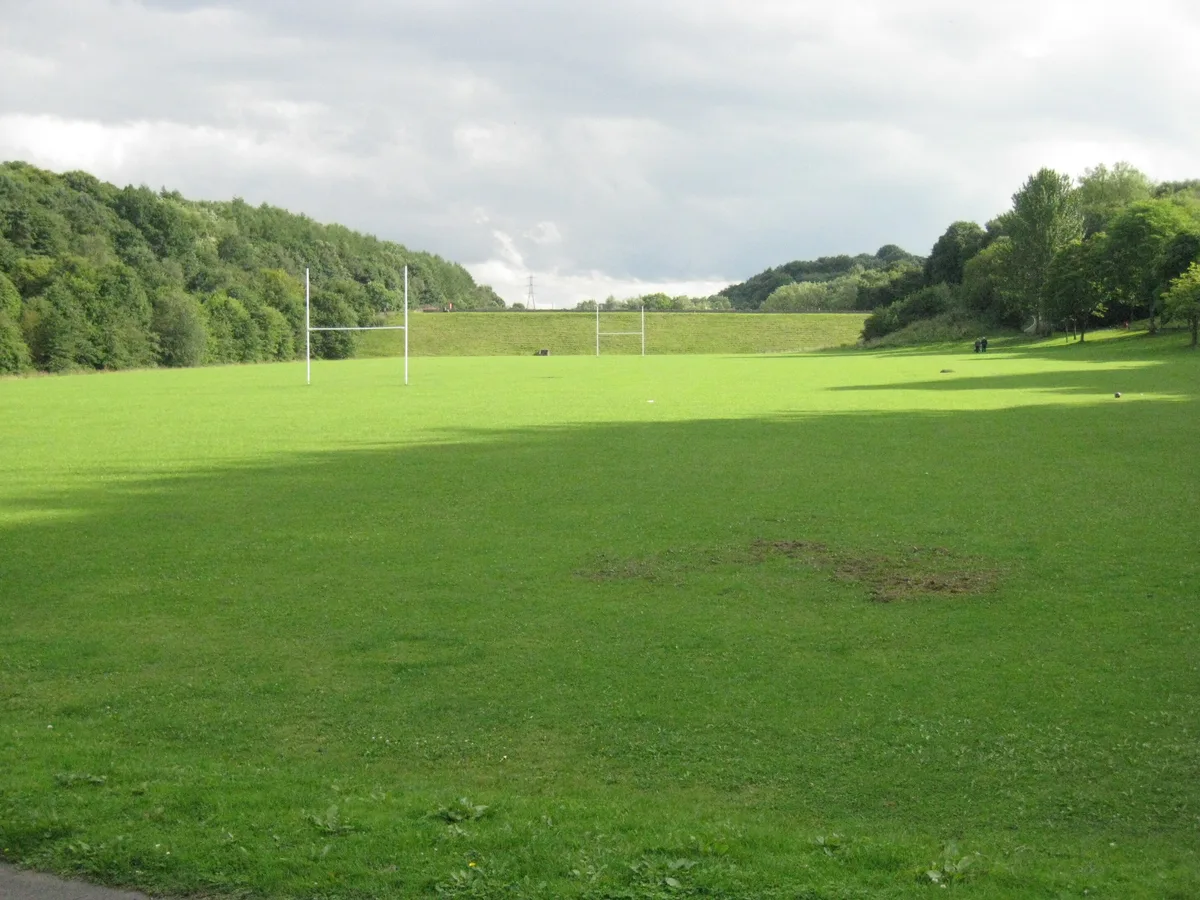
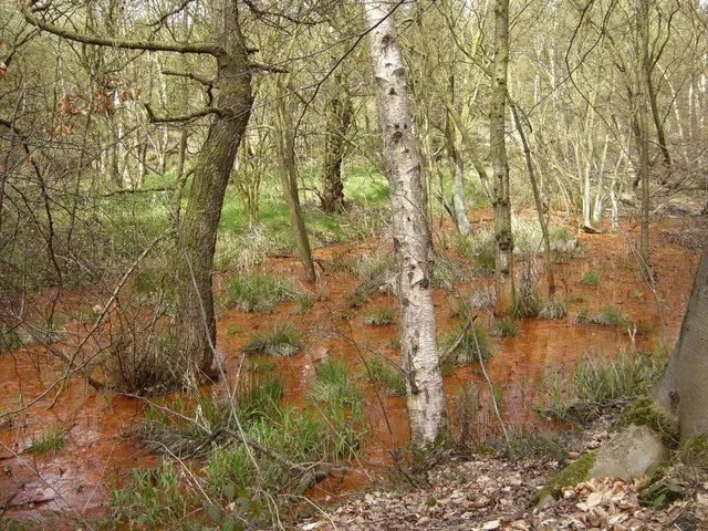
Apedale Community Country Park
Country parks · 1.7 km

Apedale Winding Wheel
Viewpoints · 1.9 km

Apedale Community Country Park Visitor Centre
Natural landmarks · 2.0 km

Hall of Fame
Public art & sculpture · 2.0 km

Bignall Hill
Mountains & hills · 2.1 km

Wedgwood's Monument
Memorials & monuments · 2.1 km

Bignall Hill
Memorials & monuments · 2.2 km

Sri Kanakadurkai Amman Temple
Historic churches · 2.3 km
Chesterton is a village in Staffordshire, North West England. Our guide lists nearby attractions within reach.
At a glance
- Administrative county
- Staffordshire
- Constituency
- Newcastle-under-Lyme
- Top categories near here
Things to see in Chesterton, Staffordshire
69 attractions within 12 km — showing the 24 most editorially-significant. Full guide: things to do in Chesterton, Staffordshire →
 📷 3
📷 3Country parks · West Midlands
Burslem Park
Burslem Park — park in Stoke-on-Trent, Staffordshire, England, UK.
 📷 3
📷 3Country parks · West Midlands
Bathpool Park
Bathpool Park — park in Kidsgrove, Staffordshire, England, UK.
 📷 4
📷 4Cemeteries · West Midlands
Burslem Cemetery
Burslem Cemetery is a cemetery in the United Kingdom.
 📷 3
📷 3 📷 3
📷 3Historic pubs · West Midlands
Duke William
Duke William — Historic pub — listed building or notable heritage status.
 📷 3
📷 3 📷 3
📷 3 📷 3
📷 3Memorials & monuments · West Midlands
Market Clock Tower
Market Clock Tower is a memorial in the United Kingdom.
 📷 3
📷 3Wildlife reserves · West Midlands
Parrot's Drumble
Parrot's Drumble — nature reserve in Staffordshire, UK.
 📷 3
📷 3 📷 3
📷 3Historic bridges · West Midlands
Red Bull Aqueduct
Red Bull Aqueduct is a historic bridge in the United Kingdom.
 📷 3
📷 3 📷 3
📷 3Windmills · West Midlands
The Old Windmill
The Old Windmill is a windmill in the United Kingdom.
 📷 3
📷 3Breweries · West Midlands
Titanic Brewery
Titanic Brewery — English brewery based in Burslem, Stoke-On-Trent, Staffordshire, UK.
 📷 3
📷 3Memorials & monuments · West Midlands
Trubshaw Cross
Trubshaw Cross is a memorial in the United Kingdom.
 📷 3
📷 3Country parks · West Midlands
Victoria Park
Victoria Park — park in Stoke-on-Trent, Staffordshire, England, UK.
📷 3Memorials & monuments · West Midlands
Watermills Chimney
Watermills Chimney is a memorial in the United Kingdom.
📷 3Memorials & monuments · West Midlands
Wedgwood's Monument
Wedgwood's Monument is a memorial in the United Kingdom.
 📷 3
📷 3Natural landmarks · West Midlands
Royal Stafford Paint a Pot, Ceramic Shop and Cafe
Royal Stafford Paint a Pot, Ceramic Shop and Cafe — a other in england-west-midlands, United Kingdom.
📷 3Archaeological sites · West Midlands
Holditch Roman industrial site
Holditch Roman industrial site — a archaeological in england-west-midlands, United Kingdom.
 📷 3
📷 3Historic houses · West Midlands
Burslem Sunday School
Burslem Sunday School — a historic house in england-west-midlands, United Kingdom.
📷 3Museums · West Midlands
Apedale Heritage Centre
Apedale Heritage Centre — a museum in england-west-midlands, United Kingdom.
 📷 3
📷 3Museums · West Midlands
Middleport Pottery
Middleport Pottery — a museum in england-west-midlands, United Kingdom.
📷 3Galleries · West Midlands
Barewall Art Gallery
Barewall Art Gallery — a gallery in england-west-midlands, United Kingdom.
Nearby
📷 3Memorials & monuments · West Midlands
Chesterton War Memorial
Chesterton War Memorial — a memorial in england-west-midlands, United Kingdom.
📷 3Archaeological sites · West Midlands
Holditch Roman industrial site
Holditch Roman industrial site — a archaeological in england-west-midlands, United Kingdom.
📷 3Museums · West Midlands
Apedale Heritage Centre
Apedale Heritage Centre — a museum in england-west-midlands, United Kingdom.
📷 3Memorials & monuments · West Midlands
Watermills Chimney
Watermills Chimney is a memorial in the United Kingdom.
📷 4Country parks · North West England
Apedale Community Country Park
Apedale Community Country Park is a 454-acre (184 ha) country park in the borough of Newcastle-under-Lyme, Staffordshire, England. The park is unusual for the area as it was previously an opencast min
📷 3Viewpoints · West Midlands
Apedale Winding Wheel
Apedale Winding Wheel is a viewpoint in the United Kingdom.
Where to eat & stay near Chesterton, Staffordshire
Places to stay
 📷 5
📷 5Hotels · West Midlands
Travelodge
Travelodge — a hotel in england west midlands.
 📷 5
📷 5Hotels · West Midlands
Borough Arms Hotel
Borough Arms Hotel — a hotel in england west midlands.
 📷 5
📷 5Hotels · West Midlands
Courtyard by Marriott
Courtyard by Marriott — a hotel in england west midlands. 4-star. Brand: Marriott.
 📷 5
📷 5Hotels · West Midlands
Hilton Garden Inn Stoke on Trent
Hilton Garden Inn Stoke on Trent — a hotel in england west midlands. 4-star. Brand: Hilton Garden Inn.
 📷 5
📷 5Hotels · West Midlands
North Stafford Hotel
North Stafford Hotel — a hotel in england west midlands.
 📷 5
📷 5Caravan parks · West Midlands
Meadow Stile Caravan Park
Meadow Stile Caravan Park — a caravan park in england west midlands.
Places to eat & drink
📷 3Historic pubs · West Midlands
Duke William
Duke William — Historic pub — listed building or notable heritage status.
 📷 5
📷 5Historic pubs · West Midlands
Leopard Public House
Leopard Public House in England North West, United Kingdom.
 📷 5
📷 5Historic pubs · North West England
The Wine Vaults Public House
The Wine Vaults Public House in England North West, United Kingdom.
 📷 5
📷 5 📷 5
📷 5Historic pubs · West Midlands
The Vine Public House
The Vine Public House in England North West, United Kingdom.
 📷 5
📷 5Historic pubs · West Midlands
The Old Greyhound Public House
The Old Greyhound Public House in England North West, United Kingdom.
More towns in this region
 Flagship📷 3
Towns & cities · North West England
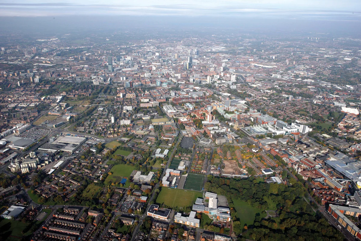
Manchester
Manchester — city in Greater Manchester, England.
 📷 3
📷 3Towns & cities · North West England
Alderley Edge
Alderley Edge — village and civil parish in Cheshire East, UK.
_-_geograph.org.uk_-_60497.jpg?width=1200) 📷 5
📷 5Towns & cities · North West England
Appleton Thorn
Appleton Thorn — village in Warrington, Cheshire, UK.
 📷 5
📷 5Towns & cities · North West England
Aston juxta Mondrum
Aston juxta Mondrum — village and civil parish in Cheshire East, England, UK.
Frequently asked questions
- Where is Chesterton, Staffordshire?
- Chesterton, Staffordshire is in Staffordshire, North-West England, United Kingdom (postcode ST5 7EG), in the parish of Newcastle-under-Lyme, unparished area.
- What is Chesterton, Staffordshire?
- Chesterton is a former mining village on the edge of Newcastle-under-Lyme, in the Newcastle-under-Lyme district, in Staffordshire, England. Chesterton is the second largest individual ward in the Boro
- How do I get to Chesterton, Staffordshire?
- The nearest railway station is Apedale Road, about 1.2 km away. Drivers can use postcode ST5 7EG.
- How do I get to Chesterton, Staffordshire?
- The nearest railway station is Apedale Road, about 1.2 km away. Drivers can navigate to postcode ST5 7EG.