Mountains & hills · North West England
Caw
Caw — Named summit at 529 m.

Wikimedia Commons contributors — see linked file page for photographer and licence licence
Plan your visit
- Typical visit
- 3 h–8 h
- Best time of year
- Late spring – early autumn (May–Oct)
- Nearest railway station
- Dalegarth · 8.5 km
- Free entry
- Dog-friendly
About
Caw is a named summit in the United Kingdom. Wikidata describes it as: "Named summit at 529 m.". Coordinates: 54.3398°, -3.1853°. This entry is part of The Great Britain Guide, a free, ad-free, open-data tourist directory.
Photo gallery
Protected designations
- Site of Special Scientific Interest: Duddon Valley Woodlands SSSI
Designations sourced from Natural England open data under OGL v3.
From the Wikipedia article
Caw is a hill in Cumbria, England, near the village of Seathwaite above the Duddon Valley, reaching 1,735 feet (529 m) and having a trig point at the summit (OS grid SD231945). It is the subject of a chapter of Wainwright's book The Outlying Fells of Lakeland. His anticlockwise route from Seathwaite returns over Pikes at 1,520 feet (460 m) and Green Pikes at 1,350 feet (410 m). Caw is a Fellranger, being included in Mark Richards' The Old Man of Coniston, Swirl How, Wetherlam and the South as one of the 18 (now 21) of his 227 (230 with the extension of the national park) summits which are not in Alfred Wainwright's list of 214. Richards describes it as "A great stand-alone fell with plenty to offer the explorer". It is also classified as a Birkett, Clem, Dewey, Dodd, HuMP and Synge.
Excerpt from Wikipedia under CC BY-SA 4.0. See the source article linked in Sources below.
- Coordinates
- 54.3398, -3.1853
- District
- Westmorland and Furness
- Parish
- Dunnerdale-with-Seathwaite
- Postcode
- LA20 6EB
- Parliamentary constituency
- Barrow and Furness
- Nearest railway station
- Dalegarth — 8.5 km
Sources
- osm: n4404607839 (ODbL)
- wikipedia: Caw (hill) (CC BY-SA 4.0)
- commons: Summit Trig Point on Caw, Dunnerdale Fells - geograph.org.uk - 1731309.jpg (CC BY-SA 4.0)
Other places nearby
Loading nearby places…
Nearby
 📷 5
📷 5Towns & cities · North West England
Seathwaite
Seathwaite — village in South Lakeland, Cumbria, United Kingdom.
 📷 3
📷 3Historic churches · North West England
Holy Trinity Church, Seathwaite
Holy Trinity Church, Seathwaite — a Grade II*-listed church in england-north-west, United Kingdom.
Campsites · North West England
Turner Hall Farm Campsite
Turner Hall Farm Campsite — a campsite in england north west.
 📷 3
📷 3Historic houses · North West England
Appletree Worth
Appletree Worth — a historic house in england-north-west, United Kingdom.
 📷 3
📷 3Historic bridges · North West England
Seathwaite Bridge
Seathwaite Bridge — Grade II listed building-listed bridge in england-north-west, United Kingdom.
 📷 3
📷 3Archaeological sites · North West England
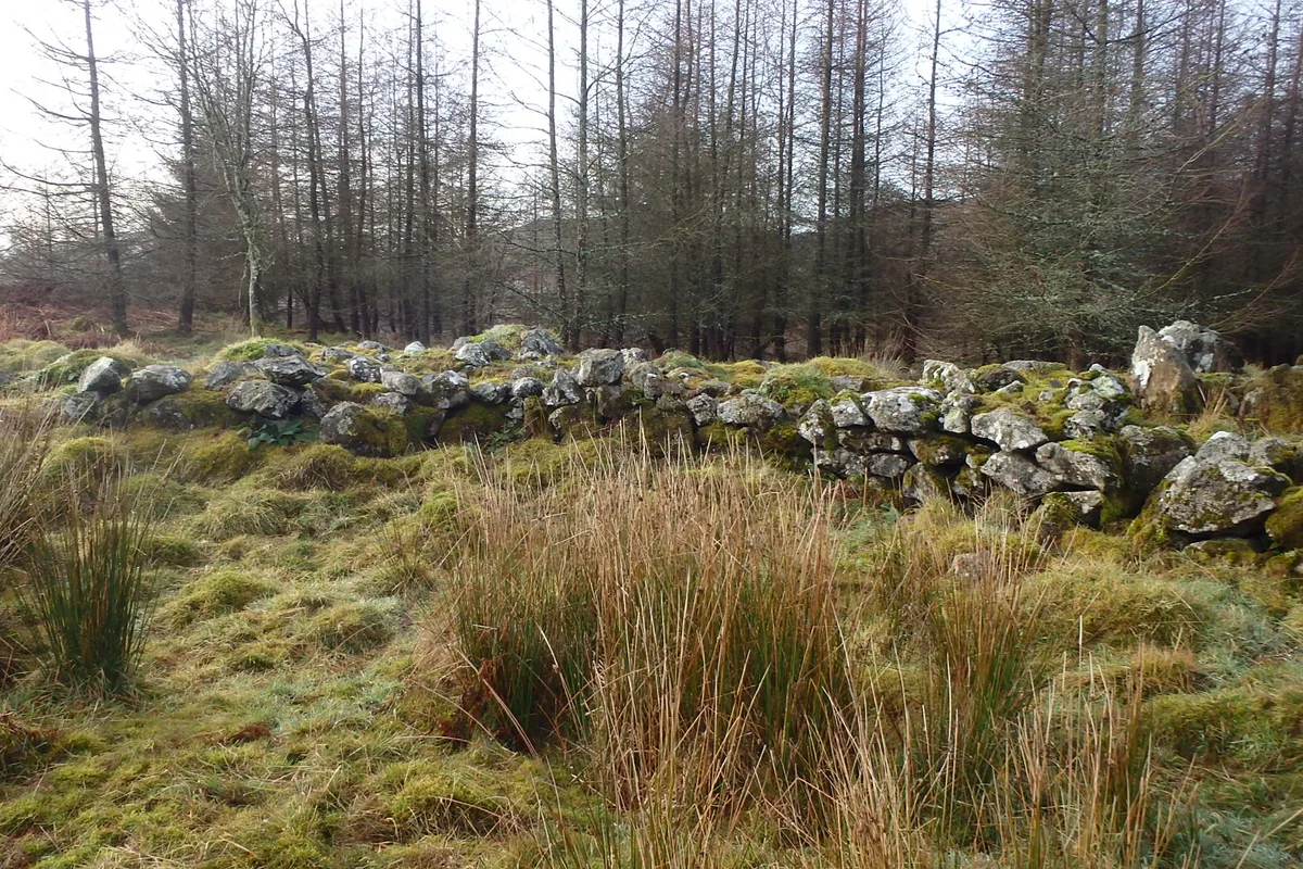
Settlement on The Hawk
Settlement on The Hawk — archaeological site in Broughton West, South Lakeland, England, UK.
More mountains in this region
 📷 3
📷 3Mountains & hills · North West England
Allen Crags
Allen Crags — Named summit at 785 m.
 📷 3
📷 3Mountains & hills · North West England
Alum Pot
Alum Pot — Open shaft pothole in North Yorkshire.
 📷 3
📷 3Mountains & hills · North West England
Arnside Knott
Arnside Knott — Named summit at 159 m.
 📷 3
📷 3Mountains & hills · North West England
Aye Gill Pike
Aye Gill Pike — Named summit at 556.3 m.
Frequently asked questions
- Where is Caw?
- Caw is in North-West England, United Kingdom (postcode LA20 6EB), in the parish of Dunnerdale-with-Seathwaite.
- Is Caw a protected site?
- Yes — Caw is part of the Duddon Valley Woodlands SSSI Site of Special Scientific Interest.
- Is Caw free to visit?
- Yes, Caw is free to enter.
- How do I get to Caw?
- Drivers can navigate to postcode LA20 6EB. It sits within the Barrow and Furness parliamentary constituency.