
Hill forts · North West England
Castlerigg stone circle
Also known as: Liagchiorcal Castlerigg
In or near Threlkeld.
Castlerigg stone circle — stone circle near Keswick in Cumbria, North West England.

Wikimedia Commons contributors — see linked file page for photographer and licence licence

Plan your visit
- Typical visit
- 1 h–2 h
- Nearest railway station
- Threlkeld Quarry · 3.6 km
- Free entry
- Family-friendly
- Dog-friendly
- Limited wheelchair access
Getting there & planning your visit
To visit Castlerigg stone circle, the nearest railway station is Threlkeld Quarry, located 3.6 km away. Entry is free, but accessibility is limited for wheelchair users. The postcode for sat-nav is CA12 4RN.
About
Castlerigg stone circle is a hill fort in the United Kingdom. Heritage designation: scheduled monument. Owned by English Heritage. Managed by English Heritage. Wikidata describes it as: "stone circle near Keswick in Cumbria, North West England". Coordinates: 54.6028°, -3.0984°.
Photo gallery
From English Heritage
Castlerigg is perhaps the most atmospheric and dramatically sited of all British stone circles, with panoramic views and the mountains of Helvellyn and High Seat as a backdrop.
Read more on the official property page.
Protected designations
- Site of Special Scientific Interest: River Derwent and Tributaries SSSI
Designations sourced from Natural England open data under OGL v3.
From the Wikipedia article
Castlerigg stone circle (alternatively Keswick Carles, or Carles) is situated on a prominent hill to the east of Keswick, in the Lake District National Park, North West England. In this period, the Lake District – a mountainous area in which Castlerigg is located – saw particularly high levels of Neolithic stone circle construction, with other similar examples including Swinside, Gamelands, Elva Plain, and Long Meg and Her Daughters. The original purposes of such large stone circles is still debated, although most archaeologists concur that they were built for ritual or ceremonial reasons, with a similar function to henges. Various archaeologists have mentioned the beauty and romance of Castlerigg and its surrounding landscape. In his study of the stone circles of Cumbria, archaeologist John Waterhouse commented that the site was "one of the most visually impressive prehistoric monuments in Britain." Every year, thousands of tourists travel to the site, making it the most visited stone circle in Cumbria. This plateau forms the raised centre of a natural amphitheatre created by the surrounding fells and from within the circle it is possible to see some of the highest peaks in Cumbria: Helvellyn, Skiddaw, Grasmoor and Blencathra.
Excerpt from Wikipedia under CC BY-SA 4.0. See the source article linked in Sources below.
Background
Description
The stones are glacial erratic boulders composed of volcanic rock from the Borrowdale Volcanic Group. Both andesitic lavas and tuffs (volcanic ashes) are represented. Castlerigg sits on a deposit of glacial till, and it is likely that the boulders were originally part of this deposit. The stones are set in a flattened circle, measuring 32.6 m at its widest and 29.5 m at its narrowest. The heaviest stone has been estimated to weigh around 16 tons and the tallest stone measures approximately 2.3 metres high. There is a 3.3 metre wide gap in its northern edge, which may have been an entrance. Within the circle, abutting its eastern quadrant, is a roughly rectangular setting of a further 10…
Sourced from Wikipedia under CC BY-SA 4.0.
- Coordinates
- 54.6028, -3.0984
- District
- Cumberland
- Parish
- St John's Castlerigg and Wythburn
- Postcode
- CA12 4RN
- Parliamentary constituency
- Penrith and Solway
- Nearest railway station
- Threlkeld Quarry — 3.6 km
- Opening
- Open any reasonable time during daylight hours
- Official site
- www.english-heritage.org.uk
Sources
- wikidata: Q1850757 (CC0)
- wikipedia: Castlerigg stone circle (CC BY-SA 4.0)
- commons: Castlerigg Stone Circle 2015 18.jpg (CC BY-SA 4.0)
Featured in these 2 guides
Other places nearby

Goosewell Farm Activities Centre
Farms (open to visitors) · 0.3 km

Keswick Bypass
Historic bridges · 0.6 km

Low Briery Holiday Site
Caravan parks · 0.8 km

Forge Bridge
Historic bridges · 1.2 km

Samuel Ladyman Drinking Fountain
Memorials & monuments · 1.4 km

Castlerigg Farm Camping and Caravan Site
Caravan parks · 1.4 km
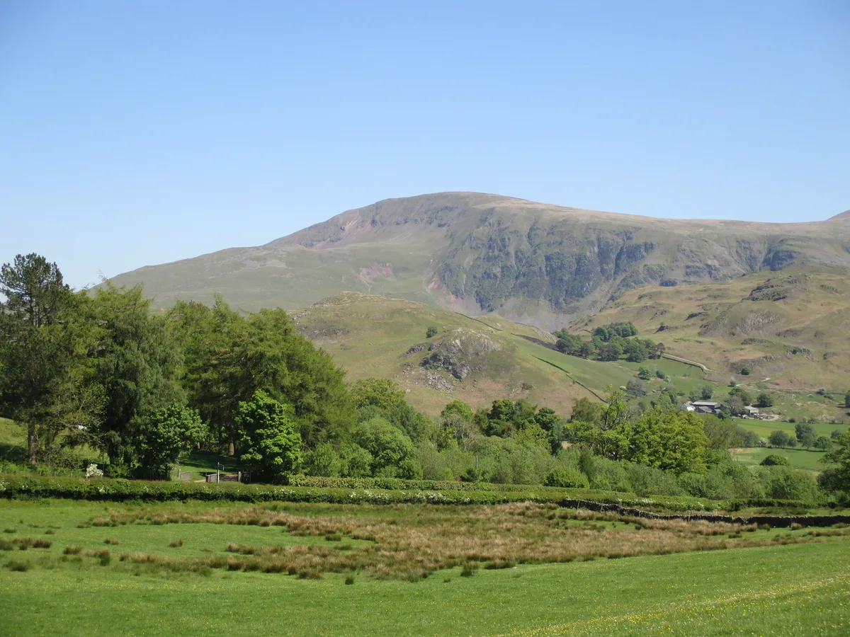
Low Rigg
Mountains & hills · 1.4 km
Castlerigg Farm
Campsites · 1.5 km

Castlerigg Hall Caravan & Camping Park
Campsites · 1.5 km

Burns Farm Caravan Site
Campsites · 1.6 km
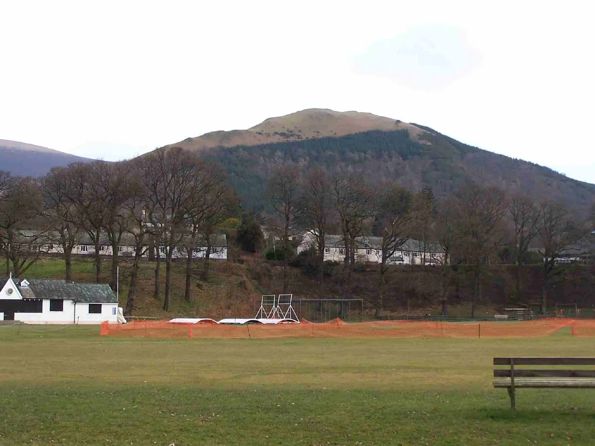
Latrigg
Mountains & hills · 1.7 km

Calvert Bridge
Historic bridges · 1.7 km
Nearby
📷 3Farms (open to visitors) · North West England
Goosewell Farm Activities Centre
Goosewell Farm Activities Centre — a other in scotland-lowlands, United Kingdom.
📷 3Historic bridges · North West England
Keswick Bypass
Keswick Bypass is a historic bridge in the United Kingdom.
📷 5Caravan parks · North West England
Low Briery Holiday Site
Low Briery Holiday Site — a caravan park in scotland lowlands.
📷 4Historic bridges · North West England
Forge Bridge
Forge Bridge — Grade II listed building-listed bridge in scotland-lowlands, United Kingdom.
📷 3Memorials & monuments · North West England
Samuel Ladyman Drinking Fountain
Samuel Ladyman Drinking Fountain is a memorial in the United Kingdom.
📷 5Caravan parks · North West England
Castlerigg Farm Camping and Caravan Site
Castlerigg Farm Camping and Caravan Site — a caravan park in england north east.
Where to eat & stay near Castlerigg stone circle
Places to stay
📷 5Caravan parks · North West England
Low Briery Holiday Site
Low Briery Holiday Site — a caravan park in scotland lowlands.
📷 5Caravan parks · North West England
Castlerigg Farm Camping and Caravan Site
Castlerigg Farm Camping and Caravan Site — a caravan park in england north east.
📷 5📷 5Campsites · North West England
Castlerigg Hall Caravan & Camping Park
Castlerigg Hall Caravan & Camping Park — a campsite in england north east.
📷 5Campsites · North West England
Burns Farm Caravan Site
Burns Farm Caravan Site — a campsite in scotland lowlands.
 📷 5
📷 5Hostels · North West England
Denton House
Denton House — a hostel in scotland lowlands.
Places to eat & drink
 📷 5
📷 5 📷 7
📷 7Cafés · North West England
Grange Bridge Cottage
Grange Bridge Cottage — a café in england north east.
 📷 7
📷 7Historic pubs · North West England
The Pheasant Inn
The Pheasant Inn in Scotland Lowlands, United Kingdom.
 📷 7
📷 7Historic pubs · North West England
The Travellers Rest
The Travellers Rest in England North West, United Kingdom.
 📷 4
📷 4Historic pubs · North West England
Oddfellows Arms
Oddfellows Arms — Historic pub — listed building or notable heritage status.
 📷 5
📷 5Historic pubs · North West England
Horse And Farrier Inn And Stables
Horse And Farrier Inn And Stables in Scotland Lowlands, United Kingdom.
More places run by English Heritage
 Flagship📷 10
Museums · London
Kenwood House
Kenwood House — art museum and historic house in Hampstead, London.
 📷 5
📷 5Galleries · London
Apsley House
Apsley House — London townhouse of the Dukes of Wellington.
 📷 5
📷 5Castles · London
Eynsford Castle
Eynsford Castle — castle, now ruinous, in Eynsford, Kent, England, UK.
 📷 5
📷 5Museums · London
Jewel Tower
Jewel Tower — medieval tower in Westminster, London, England, UK.
More places in this region
 📷 5
📷 5Hill forts · North West England
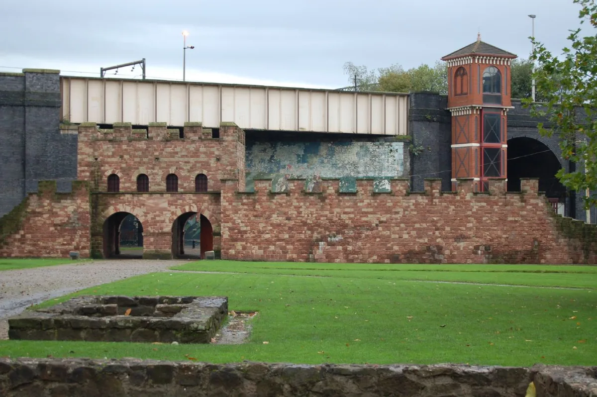
Mamucium
Mamucium — former Roman fort in the Castlefield area of Manchester in North West England.
 📷 3
📷 3Hill forts · North West England
Timperley Hall
Timperley Hall is a hill fort in the United Kingdom.
 📷 3
📷 3Hill forts · North West England
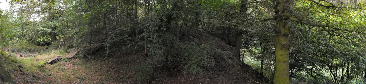
Watch Hill Castle
Watch Hill Castle — medieval castle in Bowdon, Greater Manchester, England, UK.
 📷 5
📷 5Hill forts · North West England
Buckton Castle
Buckton Castle — 12th-century castle in Mossley, Greater Manchester, England, UK.
Frequently asked questions
- Where is Castlerigg stone circle?
- Castlerigg stone circle is in the Scottish Lowlands, United Kingdom (postcode CA12 4RN), in the parish of St John's Castlerigg and Wythburn.
- What is Castlerigg stone circle?
- Castlerigg stone circle — stone circle near Keswick in Cumbria, North West England.
- How do I get to Castlerigg stone circle?
- The nearest railway station is Threlkeld Quarry, about 3.6 km away. Drivers can use postcode CA12 4RN.
- Who runs Castlerigg stone circle?
- Castlerigg stone circle is operated by English Heritage.
- Is Castlerigg stone circle a listed building?
- Castlerigg stone circle is officially recognised as scheduled monument listed.
- Is Castlerigg stone circle a protected site?
- Yes — Castlerigg stone circle is part of the River Derwent and Tributaries SSSI Site of Special Scientific Interest.
- Is Castlerigg stone circle free to visit?
- Yes, Castlerigg stone circle is free to enter.
- How do I get to Castlerigg stone circle?
- The nearest railway station is Threlkeld Quarry, about 3.6 km away. Drivers can navigate to postcode CA12 4RN.