Towns & cities · North West England
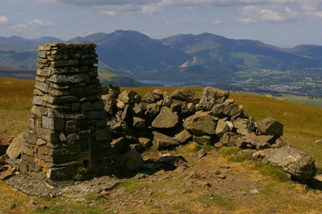
Threlkeld
Threlkeld — village and civil parish in Cumbria, UK.

Wikimedia Commons contributors — see linked file page for photographer and licence licence
Plan your visit
- Typical visit
- 3 h–6 h
- Nearest railway station
- Threlkeld Quarry Station · 1.0 km
- Free entry
- Family-friendly
- Dog-friendly
Getting there & planning your visit
Threlkeld is located in the Scottish Lowlands, with the nearest railway station being Threlkeld Quarry Station, approximately 1 km away. Entry to the town is free. The postcode for Threlkeld is CA12, and it can be located using sat-nav coordinates 54.6192, -3.0515.
About
Threlkeld is a town, city, village or settlement in the United Kingdom. Recent population estimates put it at around 410 people. Address: CA12. Wikidata describes it as: "village and civil parish in Cumbria, UK". Coordinates: 54.6192°, -3.0515°.
Photo gallery
Official information
Dam Mire Wood is a 3.4-hectare area located in Threlkeld, offering a peaceful environment for both nature and visitors. The site features a mix of veteran and newly planted trees, informal paths, and various wildlife habitats, making it a great spot for outdoor exploration.
Protected designations
- Site of Special Scientific Interest: River Derwent and Tributaries SSSI
Designations sourced from Natural England open data under OGL v3.
From the Wikipedia article
Threlkeld is a village and civil parish in the north of the Lake District in Cumbria, England, to the east of Keswick. It is in the historic county of Cumberland. It lies at the southern foot of Blencathra, one of the more prominent fells in the northern Lake District, and to the north of the River Glenderamackin. The parish had a population of 454 in the 2001 census, decreasing to 423 at the Census 2011. Part of the parish lies within the Skiddaw Group SSSI (Site of Special Scientific Interest).
Excerpt from Wikipedia under CC BY-SA 4.0. See the source article linked in Sources below.
Background
Description
The name is of Norse origin and is a combination of , meaning slave or serf, and , meaning a spring or well. There was extensive Norse settlement in the area during the era of Viking expansion (790s 1066). Thraell was probably a reference to native Cumbrians subjugated by the incoming Norse. Historically a part of Cumberland, Threlkeld formerly had its own railway station on the Cockermouth, Keswick and Penrith Railway, on the opposite side of the valley, next to the (closed) Threlkeld Quarry, at the foot of Clough Head. Today the railway line is a footpath and cycle track. Three rows of terraced houses, which used to accommodate the quarry workers, stand near the station. The Threlkeld…
Sourced from Wikipedia under CC BY-SA 4.0.
- Coordinates
- 54.6192, -3.0515
- District
- Westmorland and Furness
- Parish
- Threlkeld
- Postcode
- CA12
- Parliamentary constituency
- Westmorland and Lonsdale
- Population
- 410
- Nearest railway station
- Threlkeld Quarry Station — 1 km
- Official site
- www.friendsofthelakedistrict.org.uk
Sources
- wikidata: Q1017077 (CC0)
- wikipedia: Threlkeld (CC BY-SA 4.0)
- commons: Towards Blease Gill - geograph.org.uk - 784017.jpg (CC BY-SA 4.0)
Other places nearby

Setmabanning Caravan Park
Campsites · 0.7 km

Threlkeld Hall Touring Site
Caravan parks · 0.8 km

In the Vale (Holiday Park)
Caravan parks · 1.1 km

Threlkeld Quarry & Mining Museum
Museums · 1.1 km

Threlkeld Common Settlement
Archaeological sites · 1.5 km

Low Hollows
Campsites · 1.5 km

Mire House Short Breaks
Caravan parks · 1.6 km
Mire House Short Breaks
Caravan parks · 1.7 km

Blencathra Centre Mosaic
Public art & sculpture · 1.9 km

Blencathra Field Centre (Main House)
Hostels · 1.9 km
Lonscale
Hostels · 1.9 km

Burns Farm Caravan Site
Campsites · 1.9 km
Threlkeld is a village located in the Scottish Lowlands with a population of 410. Our guide lists N attractions within reach.
At a glance
- Population
- 410
- Constituency
- Westmorland and Lonsdale
- Top categories near here
Things to see in Threlkeld
91 attractions within 12 km — showing the 24 most editorially-significant. Full guide: things to do in Threlkeld →
 📷 3
📷 3 📷 3
📷 3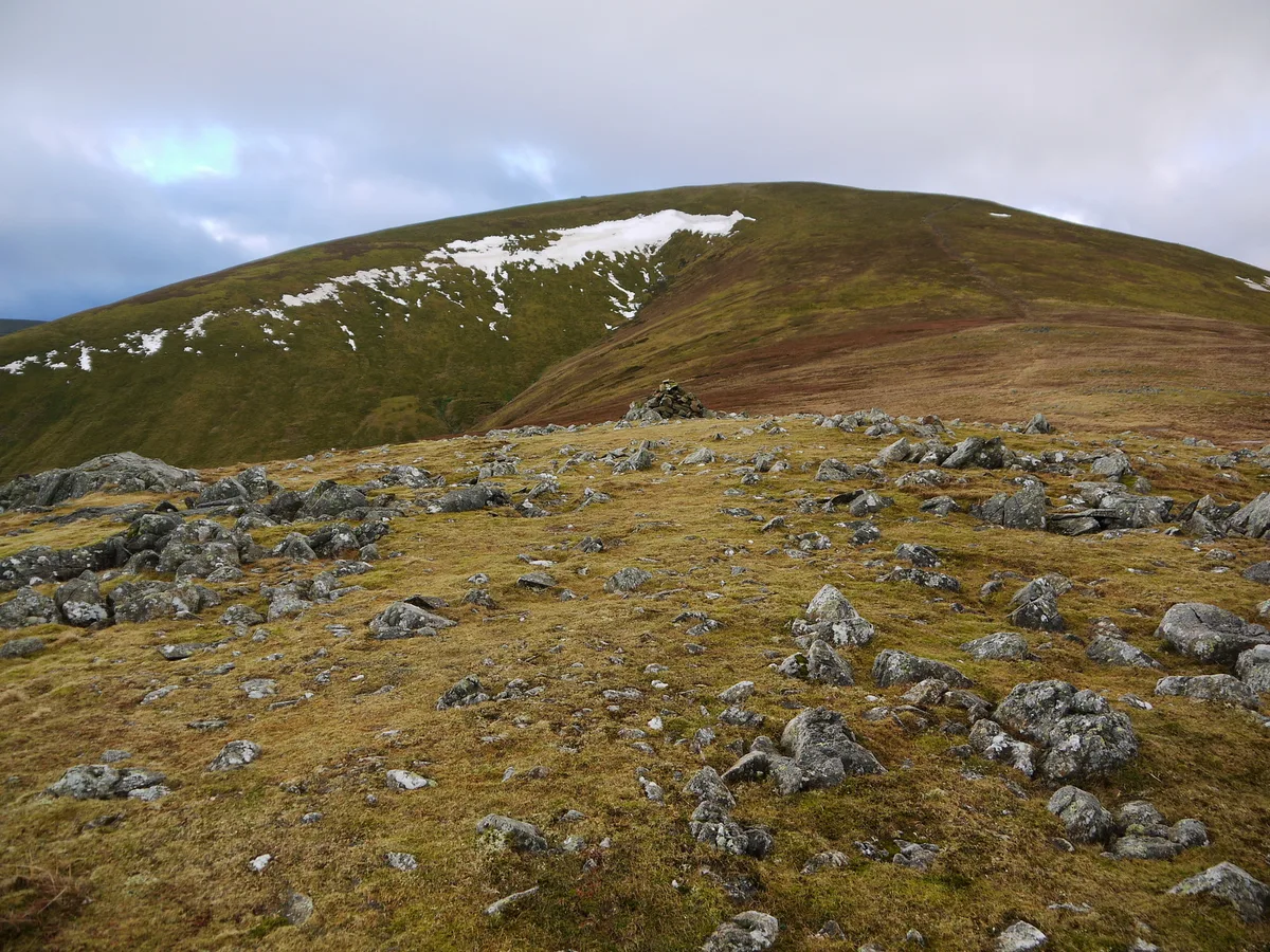 📷 3
📷 3Natural landmarks · North West England
Great Dodd
Great Dodd — mountain in the Lake District, Cumbria, United Kingdom.
 📷 3
📷 3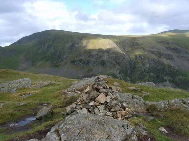 📷 3
📷 3 📷 3
📷 3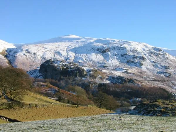 📷 4
📷 4Natural landmarks · North West England
Watson's Dodd
Watson's Dodd — mountain in the Lake District, Cumbria, United Kingdom.
 📷 4
📷 4 📷 4
📷 4Historic churches · North West England
St John's Church, St John's in the Vale
St John's Church, St John's in the Vale — a Grade II*-listed church in england-north-east, United Kingdom.
 📷 3
📷 3Historic bridges · North West England
Bridge North West Of Bram Crag
Bridge North West Of Bram Crag — Grade II listed building-listed bridge in england-north-east, United Kingdom.
 📷 3
📷 3Historic bridges · North West England
Sosgill Bridge
Sosgill Bridge — Grade II listed building-listed bridge in england-north-east, United Kingdom.
 📷 5
📷 5Hostels · North West England
St John's in the Vale Centre
St John's in the Vale Centre — a hostel in england north east.
 📷 5
📷 5Hostels · North West England
St John's in the Vale Centre
St John's in the Vale Centre — a hostel in england north east.
 📷 5
📷 5 📷 5
📷 5Campsites · North West England
Castlerigg Hall Caravan & Camping Park
Castlerigg Hall Caravan & Camping Park — a campsite in england north east.
 📷 5
📷 5Caravan parks · North West England
High Bridge End Farm
High Bridge End Farm — a caravan park in england north east.
 📷 5
📷 5Caravan parks · North West England
Dalebottom Farm Camping Site and Caravan Park
Dalebottom Farm Camping Site and Caravan Park — a caravan park in england north east.
📷 5Caravan parks · North West England
Castlerigg Farm Camping and Caravan Site
Castlerigg Farm Camping and Caravan Site — a caravan park in england north east.
 📷 5
📷 5Mountains & hills · North West England
Scafell Pike
Scafell Pike — a hill or mountain in england north east.
 📷 5
📷 5Mountains & hills · North West England
Cockley Moor
Cockley Moor — mountain in england north east. Elevation: 455 m.
 📷 5
📷 5Mountains & hills · North West England
White Pike
White Pike — mountain in england north east. Elevation: 627 m.
 📷 5
📷 5Mountains & hills · North West England
Calfhow Pike
Calfhow Pike — mountain in england north east. Elevation: 660 m.
 📷 5
📷 5Mountains & hills · North West England
Wren Crag
Wren Crag — mountain in england north east. Elevation: 311 m.
 📷 5
📷 5Mountains & hills · North West England
High Brow
High Brow — mountain in england north east. Elevation: 575 m.
Nearby
📷 5Campsites · North West England
Setmabanning Caravan Park
Setmabanning Caravan Park — a campsite in scotland lowlands.
📷 5Caravan parks · North West England
Threlkeld Hall Touring Site
Threlkeld Hall Touring Site — a caravan park in scotland lowlands.
📷 5Caravan parks · North West England
In the Vale (Holiday Park)
In the Vale (Holiday Park) — a caravan park in scotland lowlands.
📷 3Museums · North West England
Threlkeld Quarry & Mining Museum
Threlkeld Quarry & Mining Museum — a museum in scotland-lowlands, United Kingdom.
📷 3Archaeological sites · North West England
Threlkeld Common Settlement
Threlkeld Common Settlement — a archaeological in scotland-lowlands, United Kingdom.
📷 5Where to eat & stay near Threlkeld
Places to stay
📷 5Campsites · North West England
Setmabanning Caravan Park
Setmabanning Caravan Park — a campsite in scotland lowlands.
📷 5Caravan parks · North West England
Threlkeld Hall Touring Site
Threlkeld Hall Touring Site — a caravan park in scotland lowlands.
📷 5Caravan parks · North West England
In the Vale (Holiday Park)
In the Vale (Holiday Park) — a caravan park in scotland lowlands.
📷 5📷 5Caravan parks · North West England
Mire House Short Breaks
Mire House Short Breaks — a caravan park in scotland lowlands.
📷 5Caravan parks · North West England
Mire House Short Breaks
Mire House Short Breaks — a caravan park in scotland lowlands.
Places to eat & drink
 📷 5
📷 5 📷 7
📷 7Cafés · North West England
Grange Bridge Cottage
Grange Bridge Cottage — a café in england north east.
 📷 7
📷 7Historic pubs · North West England
The Pheasant Inn
The Pheasant Inn in Scotland Lowlands, United Kingdom.
 📷 5
📷 5Historic pubs · North West England
Horse And Farrier Inn And Stables
Horse And Farrier Inn And Stables in Scotland Lowlands, United Kingdom.
 📷 4
📷 4Historic pubs · North West England
Oddfellows Arms
Oddfellows Arms — Historic pub — listed building or notable heritage status.
 📷 7
📷 7Historic pubs · North West England
The Travellers Rest
The Travellers Rest in England North West, United Kingdom.
More towns in this region
 Flagship📷 3
Towns & cities · North West England
Manchester
Manchester — city in Greater Manchester, England.
 📷 3
📷 3Towns & cities · North West England
Alderley Edge
Alderley Edge — village and civil parish in Cheshire East, UK.
_-_geograph.org.uk_-_60497.jpg?width=1200) 📷 5
📷 5Towns & cities · North West England
Appleton Thorn
Appleton Thorn — village in Warrington, Cheshire, UK.
 📷 5
📷 5Towns & cities · North West England
Aston juxta Mondrum
Aston juxta Mondrum — village and civil parish in Cheshire East, England, UK.
Frequently asked questions
- Where is Threlkeld?
- Threlkeld is in the Scottish Lowlands, United Kingdom (postcode CA12), in the parish of Threlkeld.
- What is Threlkeld?
- Threlkeld — village and civil parish in Cumbria, UK.
- How do I get to Threlkeld?
- The nearest railway station is Threlkeld Quarry Station, about 1.0 km away. Drivers can use postcode CA12.
- Is Threlkeld a protected site?
- Yes — Threlkeld is part of the River Derwent and Tributaries SSSI Site of Special Scientific Interest.
- Is Threlkeld free to visit?
- Yes, Threlkeld is free to enter.
- How do I get to Threlkeld?
- The nearest railway station is Threlkeld Quarry Station, about 1.0 km away. Drivers can navigate to postcode CA12.