
Wildlife reserves · East of England
Castle Marshes
In or near Barnby.
Castle Marshes — Suffolk Wildlife Trust nature reserve.

Wikimedia Commons contributors — see linked file page for photographer and licence licence

Plan your visit
- Typical visit
- 2 h–4 h
- Best time of year
- Autumn & winter (migration & wildfowl)
- Nearest railway station
- Mutford Thorpe · 3.8 km
- Free entry
- Family-friendly
- Dog-friendly
- Limited wheelchair access
Getting there & planning your visit
To visit Castle Marshes, the nearest railway station is Mutford Thorpe, which is 3.8 km away. The postcode for sat-nav is NR34 7QQ. Entry is free, but wheelchair accessibility is limited.
About
Castle Marshes is a wildlife reserve in the United Kingdom. Managed by Suffolk Wildlife Trust. Wikidata describes it as: "Suffolk Wildlife Trust nature reserve". Coordinates: 52.4600°, 1.6300°.
Photo gallery
From the Wikipedia article
Castle Marshes is a 71 hectare nature reserve west of Lowestoft in Suffolk. It is managed by the Suffolk Wildlife Trust. It is part of the Barnby Broad and Marshes Site of Special Scientific Interest the Broadland Ramsar internationally important wetland site, the Broadland Special Protection Area under the European Union Directive on the Conservation of Wild Birds, and The Broads Special Area of Conservation. The site has fen, freshwater dykes and grazing marshes. Resident wildfowl include wigeons, gadwalls, teals and shovelers are joined in winter by migrants when the marshes are flooded. Scarce chaser and the nationally rare Norfolk hawker dragonflies breed on the site, and there are blue-tailed damselflies. There is no public access but the Angles Way footpath runs along the northern boundary.
Excerpt from Wikipedia under CC BY-SA 4.0. See the source article linked in Sources below.
- Coordinates
- 52.4600, 1.6300
- County
- Suffolk
- District
- East Suffolk
- Parish
- North Cove
- Postcode
- NR34 7QQ
- Parliamentary constituency
- Lowestoft
- Nearest railway station
- Mutford Thorpe — 3.8 km
- Official site
- www.suffolkwildlifetrust.org
Sources
- wikidata: Q30588145 (CC0)
- wikipedia: Castle Marshes (CC BY-SA 4.0)
- commons: Castle Marshes 3.jpg (CC BY-SA 4.0)
Other places nearby

North Cove Nature Reserve
Forests & woodlands · 0.3 km
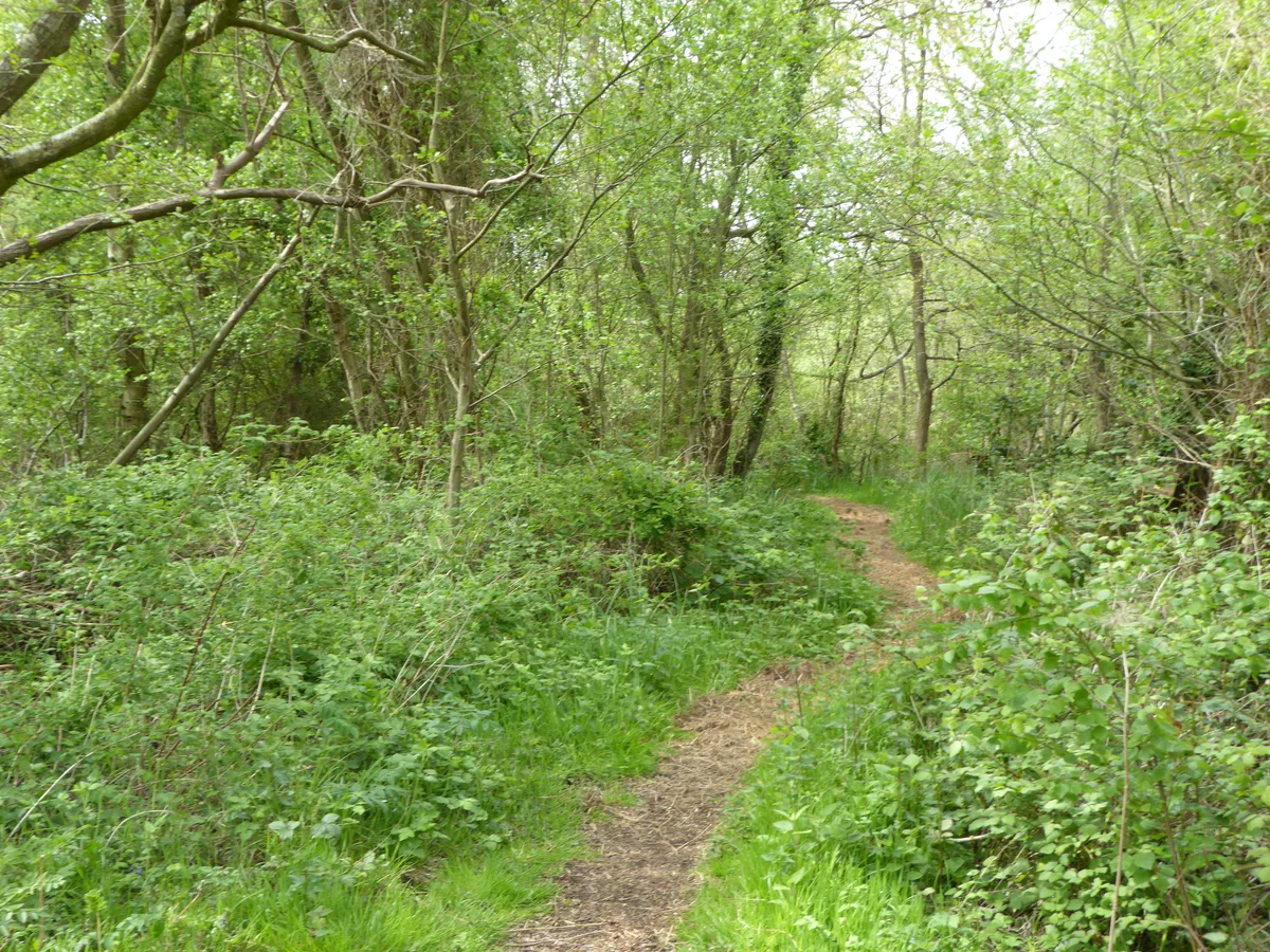
North Cove Nature Reserve
Wildlife reserves · 0.5 km
_-_geograph.org.uk_-_591729.jpg?width=1200)
Barnby
Towns & cities · 1.3 km

North Cove Village Sign
Public art & sculpture · 1.5 km

North Cove
Villages · 1.5 km

Barnby Village Sign
Public art & sculpture · 1.5 km
Barnby War Memorial
Memorials & monuments · 1.6 km

Church of St Botolph
Historic churches · 1.6 km

Worlingham Hall
Historic houses · 2.5 km
Worlingham Village Sign
Public art & sculpture · 2.5 km

Worlingham
Villages · 2.6 km

Wheatacre Burgh St. Peter Village Sign
Public art & sculpture · 2.7 km
Nearby
📷 5Forests & woodlands · East of England
North Cove Nature Reserve
North Cove Nature Reserve is a forest or woodland in the United Kingdom.
📷 5Wildlife reserves · East of England
North Cove Nature Reserve
North Cove Nature Reserve — Suffolk Wildlife Trust nature reserve.
📷 3Towns & cities · East of England
Barnby
Barnby — village and civil parish in the East Suffolk district of the English county of Suffolk.
📷 3Public art & sculpture · East of England
North Cove Village Sign
North Cove Village Sign — a public art in East of England, United Kingdom.
📷 5📷 3Public art & sculpture · East of England
Barnby Village Sign
Barnby Village Sign — a public art in East of England, United Kingdom.
Where to eat & stay near Castle Marshes
Places to stay
 📷 5
📷 5Caravan parks · East of England
Waveney River Centre
Waveney River Centre — a caravan park in england east.
 📷 5
📷 5Campsites · East of England
Waveney River Centre Campground
Waveney River Centre Campground — a campsite in england east.
 📷 5
📷 5Hotels · East of England
The Kings Head Hotel
The Kings Head Hotel — a hotel in england east.
 📷 5
📷 5Caravan parks · East of England
Broadlands Park & Marina
Broadlands Park & Marina — a caravan park in england east.
 📷 5
📷 5Caravan parks · East of England
Pampas Lodge Caravan Park
Pampas Lodge Caravan Park — a caravan park in england east.
 📷 5
📷 5Campsites · East of England
Jaydene Touring Caravan Park
Jaydene Touring Caravan Park — a campsite in england east.
Places to eat & drink
 📷 5
📷 5 📷 5
📷 5Historic pubs · East of England
Crown And Anchor Public House
Crown And Anchor Public House in England East, United Kingdom.
 📷 5
📷 5Historic pubs · East of England
Cherry Tree Public House
Cherry Tree Public House in England East, United Kingdom.
 📷 5
📷 5Historic pubs · East of England
The Top House Public House, Including Boundary Wall To Yard
The Top House Public House, Including Boundary Wall To Yard in England East, United Kingdom.
 📷 7
📷 7 📷 5
📷 5More places run by Suffolk Wildlife Trust
 Flagship📷 3
Wildlife reserves · East of England
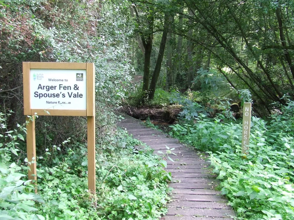
Alde Mudflats
Alde Mudflats — Suffolk Wildlife Trust nature reserve.
 📷 5
📷 5Wildlife reserves · East of England
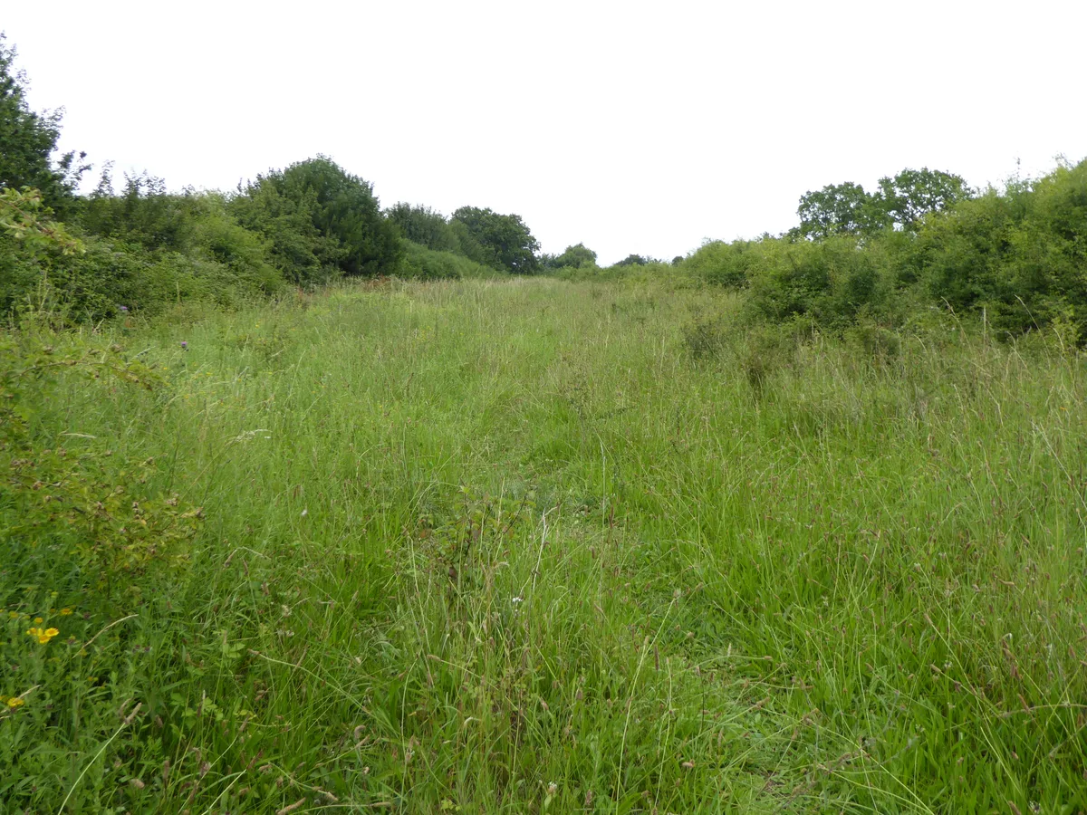
Arger Fen
Arger Fen — Suffolk Wildlife Trust nature reserve.
 Flagship📷 5
Wildlife reserves · East of England
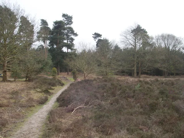
Black Bourn Valley
Black Bourn Valley — Suffolk Wildlife Trust nature reserve.
 📷 3
📷 3Wildlife reserves · East of England
Blaxhall Common
Blaxhall Common — Suffolk Wildlife Trust nature reserve.
More places in this region
 Flagship📷 10
Wildlife reserves · East of England
Amwell Quarry
Amwell Quarry — nature reserve in United Kingdom.
 Flagship📷 10
Wildlife reserves · East of England
Aubrey Buxton Nature Reserve
Aubrey Buxton Nature Reserve — Essex Wildlife Trust Nature reserve.
 Flagship📷 10
Wildlife reserves · East of England
Canvey Wick
Canvey Wick — nature reserve in Essex, United Kingdom.
 Flagship📷 10
Wildlife reserves · East of England
Crowsheath Wood
Crowsheath Wood — Essex Wildlife Trust Nature reserve.
Frequently asked questions
- Where is Castle Marshes?
- Castle Marshes is in Suffolk, East of England, United Kingdom (postcode NR34 7QQ), in the parish of North Cove.
- What is Castle Marshes?
- Castle Marshes — Suffolk Wildlife Trust nature reserve.
- How do I get to Castle Marshes?
- The nearest railway station is Mutford Thorpe, about 3.8 km away. The nearest town is Barnby. Drivers can use postcode NR34 7QQ.
- Who runs Castle Marshes?
- Castle Marshes is operated by Suffolk Wildlife Trust.
- Is Castle Marshes free to visit?
- Yes, Castle Marshes is free to enter.
- How do I get to Castle Marshes?
- The nearest railway station is Mutford Thorpe, about 3.8 km away. Drivers can navigate to postcode NR34 7QQ.
- Are dogs allowed at Castle Marshes?
- Most wildlife reserves allow dogs on lead only, with restrictions during ground-nesting bird season (March-July). Check signage at the reserve.