
Mountains & hills · South West England
Carbilly Tor
In or near Blisland.
Carbilly Tor — mountain in england south west. Elevation: 266 m.

P G Moore — CC BY-SA 2.0 via Wikimedia Commons licence

Plan your visit
- Typical visit
- 3 h–8 h
- Best time of year
- Late spring – early autumn (May–Oct)
- Dog-friendly
About
Carbilly Tor is a mountain located in england south west. Elevation: 266 m. A named British peak recorded in OpenStreetMap. Peaks are typically named on Ordnance Survey 1:50k mapping.
Photo gallery
Protected designations
- Site of Special Scientific Interest: Bodmin Moor, North SSSI
- Site of Special Scientific Interest: River Camel Valley and Tributaries SSSI
- Area of Outstanding Natural Beauty: Cornwall
Designations sourced from Natural England open data under OGL v3.
Place summary
Carbilly Tor is a mountain located in South-West England. It is part of the rugged landscape typical of the region. Visitors can expect a natural environment conducive to walking and exploring the surrounding area. The mountain offers panoramic views, making it a notable feature in the local topography.
AI-generated from the structured facts on this page (operator, designation, listing, era). Not a substitute for visiting.
- Coordinates
- 50.5493, -4.6462
- District
- Cornwall
- Parish
- Blisland
- Postcode
- PL30 4LE
- Parliamentary constituency
- North Cornwall
Sources
- osm: n551621689 (ODbL)
Other places nearby

The Trippet Stones
Archaeological sites · 0.7 km
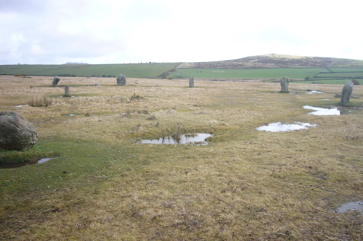
Trippet stones
Hill forts · 0.7 km

Delford Bridge
Historic bridges · 1.2 km

Ryedown Stone
Archaeological sites · 1.4 km
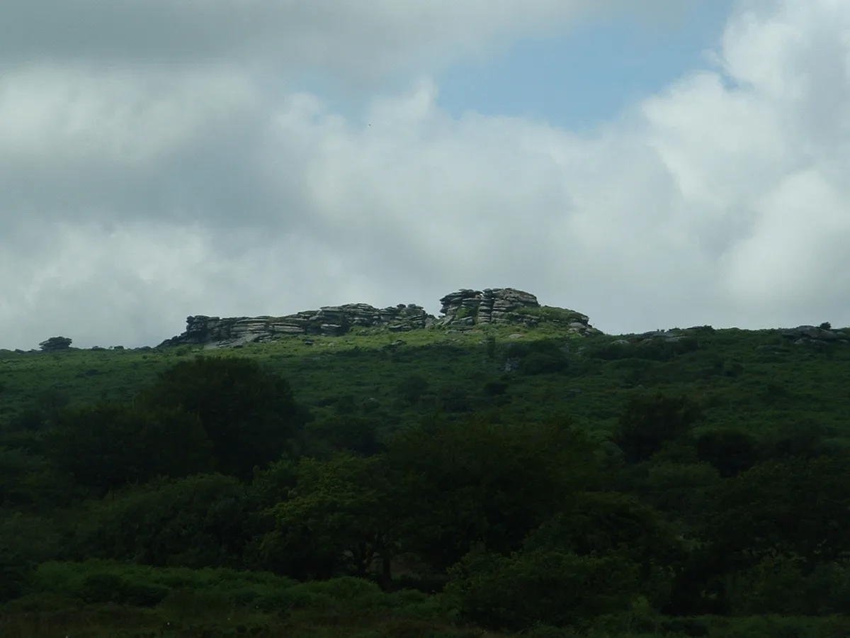
Hawk's Tor
Mountains & hills · 1.5 km

Carkees Tor
Mountains & hills · 1.6 km
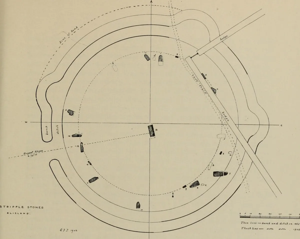
Stripple stones
Hill forts · 1.8 km

South Penquite Farm
Campsites · 2.0 km

Leaze stone circle
Hill forts · 2.1 km
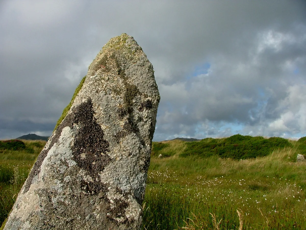
King Arthur's Hall
Hill forts · 2.2 km

Emblance Downs Stone Circles
Stone circles · 2.2 km

Emblance Downs Stone Circles
Archaeological sites · 2.2 km
Nearby
📷 3Archaeological sites · South West England
The Trippet Stones
The Trippet Stones — an archaeological site in South West England, United Kingdom.
📷 3Hill forts · South West England
Trippet stones
Trippet stones — stone circle on Bodmin Moor, Cornwall, England.
📷 5Historic bridges · South West England
Delford Bridge
Delford Bridge is a historic bridge in the United Kingdom.
📷 3Archaeological sites · South West England
Ryedown Stone
Ryedown Stone — an archaeological site in South West England, United Kingdom.
📷 5📷 5Mountains & hills · South West England
Carkees Tor
Carkees Tor — mountain in england south west. Elevation: 281 m.
Where to eat & stay near Carbilly Tor
Places to stay
📷 5Campsites · South West England
South Penquite Farm
South Penquite Farm — a campsite in england south west.
 📷 5
Campsites · South West England
Colliford Tavern Camp Site
Colliford Tavern Camp Site — a campsite in england south west.
 📷 5
Caravan parks · South West England
Michaelstow Manor Holiday Park
Michaelstow Manor Holiday Park — a caravan park in england south west.
 📷 5
Caravan parks · South West England
St. Mabyn Holiday Park
St. Mabyn Holiday Park — a caravan park in england south west.
 📷 7
Hotels · South West England
Tredethy House
Tredethy House — a hotel in england south west.
 📷 5
Caravan parks · South West England
Camelford Caravan Club Site
Camelford Caravan Club Site — a caravan park in england south west.
Places to eat & drink
 📷 7
Historic pubs · South West England
Methodist Chapel
Methodist Chapel in England South West, United Kingdom.
 📷 5
 📷 7
Restaurants · South West England
Nathan Outlaw
Nathan Outlaw — a restaurant in england south west.
 📷 7
Restaurants · South West England
Outlaws Fish Kitchen
Outlaws Fish Kitchen — a restaurant in england south west.
 📷 7
Restaurants · South West England
Slipway Hotel
Slipway Hotel — a restaurant in england south west.
 📷 7
Restaurants · South West England
Napoleon Inn
Napoleon Inn — a restaurant in england south west.
More mountains in this region
 📷 5
 📷 5
 📷 5
 📷 5
Frequently asked questions
- Where is Carbilly Tor?
- Carbilly Tor is in South-West England, United Kingdom (postcode PL30 4LE), in the parish of Blisland.
- What is Carbilly Tor?
- Carbilly Tor — mountain in england south west. Elevation: 266 m.
- How do I get to Carbilly Tor?
- The nearest town is Blisland. Drivers can use postcode PL30 4LE.
- Is Carbilly Tor a protected site?
- Yes — Carbilly Tor is part of the Bodmin Moor, North SSSI Site of Special Scientific Interest and the River Camel Valley and Tributaries SSSI Site of Special Scientific Interest.
- How do I get to Carbilly Tor?
- Drivers can navigate to postcode PL30 4LE. It sits within the North Cornwall parliamentary constituency.