
Wildlife reserves · East of England
Captain's Wood
In or near Snape.
Captain's Wood — Suffolk Wildlife Trust nature reserve.

Wikimedia Commons contributors — see linked file page for photographer and licence licence

Plan your visit
- Typical visit
- 2 h–4 h
- Best time of year
- Autumn & winter (migration & wildfowl)
- Nearest railway station
- Wickham Market · 9.6 km
- Free entry
- Family-friendly
- Dog-friendly
- Limited wheelchair access
Getting there & planning your visit
To visit Captain's Wood, the nearest railway station is Wickham Market, located 9.6 km away. The postcode for sat-nav is IP12 2BE, and entry is free. Accessibility is limited for wheelchair users.
About
Captain's Wood is a wildlife reserve in the United Kingdom. It covers approximately 62 km². Managed by Suffolk Wildlife Trust. Wikidata describes it as: "Suffolk Wildlife Trust nature reserve". Coordinates: 52.1290°, 1.5340°.
Photo gallery
See it from the streetimagery from 2019
Imagery © Mapillary contributors, CC BY-SA 4.0
Protected designations
- Site of Special Scientific Interest: Alde-Ore Estuary SSSI
- Site of Special Scientific Interest: Sandlings Forest SSSI
- National Nature Reserve: ORFORDNESS-HAVERGATE
- Area of Outstanding Natural Beauty: Suffolk Coast & Heaths
Designations sourced from Natural England open data under OGL v3.
From the Wikipedia article
Captain's Wood is a 62 hectare nature reserve in Sudbourne in Suffolk. It is owned and managed by the Suffolk Wildlife Trust. This site has woodland, rough grassland and scrub. A herd of fallow deer helps to keep the land open, and there are also barn owls, buzzards, mature oak trees and many bluebells. There is access from School Road.
Excerpt from Wikipedia under CC BY-SA 4.0. See the source article linked in Sources below.
- Coordinates
- 52.1290, 1.5340
- County
- Suffolk
- District
- East Suffolk
- Parish
- Sudbourne
- Postcode
- IP12 2BE
- Parliamentary constituency
- Suffolk Coastal
- Nearest railway station
- Wickham Market — 9.6 km
Sources
- wikidata: Q5036497 (CC0)
- wikipedia: Captain's Wood (CC BY-SA 4.0)
- commons: Footpath to Bradfield Woods - geograph.org.uk - 1457277.jpg (CC BY-SA 4.0)
Other places nearby

Captain's Wood Nature Reserve
Forests & woodlands · 0.2 km

Sudbourne
Villages · 1.0 km

Sudbourne Village Sign
Public art & sculpture · 1.0 km

High House Camp Site
Campsites · 1.5 km

Viking Trail
Mountain bike trails · 3.1 km

Iken Cliff Picnic Site
Natural landmarks · 3.2 km

Alde Mudflats
Wildlife reserves · 3.2 km

Orford Village Sign
Public art & sculpture · 3.6 km

Chillesford Village Sign
Public art & sculpture · 3.6 km

Orford
Villages · 3.7 km

Chillesford
Villages · 3.7 km

St Bartholomews Church
Historic churches · 3.8 km
Nearby
📷 5Forests & woodlands · East of England
Captain's Wood Nature Reserve
Captain's Wood Nature Reserve is a forest or woodland in the United Kingdom.
📷 5📷 3Public art & sculpture · East of England
Sudbourne Village Sign
Sudbourne Village Sign — a public art in East of England, United Kingdom.
📷 5📷 5📷 3Natural landmarks · East of England
Iken Cliff Picnic Site
Iken Cliff Picnic Site — a place in East of England, United Kingdom.
Where to eat & stay near Captain's Wood
Places to stay
📷 5 📷 7
📷 7Hotels · East of England
Crown and Castle
Crown and Castle — a hotel in england east.
 📷 7
📷 7 📷 5
📷 5Caravan parks · East of England
Church Farm Holiday Park
Church Farm Holiday Park — a caravan park in england east.
 📷 5
📷 5 📷 5
📷 5Places to eat & drink
 📷 7
📷 7Historic pubs · East of England
The Jolly Sailor Public House
The Jolly Sailor Public House in England East, United Kingdom.
 📷 7
📷 7Historic pubs · East of England
The Parrot And Punchbowl Public House
The Parrot And Punchbowl Public House in England East, United Kingdom.
 📷 7
📷 7Historic pubs · East of England
George and Dragon, Farnham
George and Dragon, Farnham in England East, United Kingdom.
 📷 7
📷 7Historic pubs · East of England
The Lion, Little Glemham
The Lion, Little Glemham in England East, United Kingdom.
 📷 5
📷 5 📷 5
📷 5Historic pubs · East of England
The Horse and Groom
The Horse and Groom in England East, United Kingdom.
More places run by Suffolk Wildlife Trust
Flagship📷 3Wildlife reserves · East of England
Alde Mudflats
Alde Mudflats — Suffolk Wildlife Trust nature reserve.
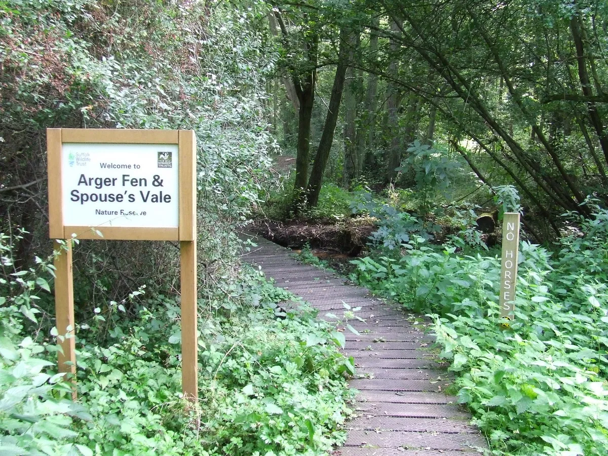 📷 5
📷 5Wildlife reserves · East of England
Arger Fen
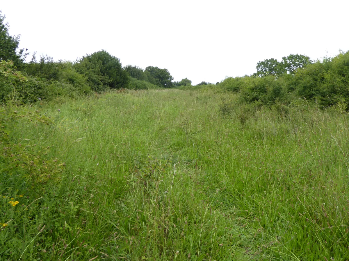
Arger Fen — Suffolk Wildlife Trust nature reserve.
 Flagship📷 5
Wildlife reserves · East of England
Black Bourn Valley
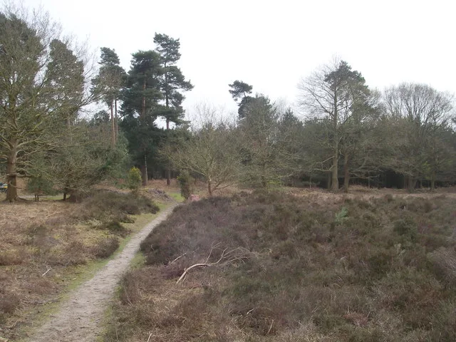
Black Bourn Valley — Suffolk Wildlife Trust nature reserve.
 📷 3
📷 3Wildlife reserves · East of England
Blaxhall Common
Blaxhall Common — Suffolk Wildlife Trust nature reserve.
More places in this region
 Flagship📷 10
Wildlife reserves · East of England
Amwell Quarry
Amwell Quarry — nature reserve in United Kingdom.
 Flagship📷 10
Wildlife reserves · East of England
Aubrey Buxton Nature Reserve
Aubrey Buxton Nature Reserve — Essex Wildlife Trust Nature reserve.
 Flagship📷 10
Wildlife reserves · East of England
Canvey Wick
Canvey Wick — nature reserve in Essex, United Kingdom.
 Flagship📷 10
Wildlife reserves · East of England
Crowsheath Wood
Crowsheath Wood — Essex Wildlife Trust Nature reserve.
Frequently asked questions
- Where is Captain's Wood?
- Captain's Wood is in Suffolk, East of England, United Kingdom (postcode IP12 2BE), in the parish of Sudbourne.
- What is Captain's Wood?
- Captain's Wood — Suffolk Wildlife Trust nature reserve.
- How do I get to Captain's Wood?
- The nearest railway station is Wickham Market, about 9.6 km away. The nearest town is Snape. Drivers can use postcode IP12 2BE.
- Who runs Captain's Wood?
- Captain's Wood is operated by Suffolk Wildlife Trust.
- Is Captain's Wood a protected site?
- Yes — Captain's Wood is part of the Alde-Ore Estuary SSSI Site of Special Scientific Interest and the Sandlings Forest SSSI Site of Special Scientific Interest.
- Is Captain's Wood free to visit?
- Yes, Captain's Wood is free to enter.
- How do I get to Captain's Wood?
- Drivers can navigate to postcode IP12 2BE. It sits within the Suffolk Coastal parliamentary constituency.
- Are dogs allowed at Captain's Wood?
- Most wildlife reserves allow dogs on lead only, with restrictions during ground-nesting bird season (March-July). Check signage at the reserve.