
Mountains & hills · Northern Ireland
Camlough Mountain
In or near Corrinshego.
Camlough Mountain — mountain in northern ireland. Elevation: 423 m.

Eric Jones — CC BY-SA 2.0 via Wikimedia Commons licence

Plan your visit
- Typical visit
- 3 h–8 h
- Best time of year
- Late spring – early autumn (May–Oct)
- Nearest railway station
- Newry · 3.2 km
- Dog-friendly
About
Camlough Mountain is a mountain located in northern ireland. Elevation: 423 m. A named British peak recorded in OpenStreetMap. Peaks are typically named on Ordnance Survey 1:50k mapping.
Photo gallery
Place summary
Camlough Mountain is located in Northern Ireland, within the postcode area BT35. This prominent mountain offers scenic views of the surrounding landscape. It is a notable feature in the region for those interested in walking and outdoor activities. The area is characterised by its natural beauty and diverse wildlife.
AI-generated from the structured facts on this page (operator, designation, listing, era). Not a substitute for visiting.
- Coordinates
- 54.1660, -6.3937
- District
- Newry, Mourne and Down
- Postcode
- BT35 7LE
- Parliamentary constituency
- Newry and Armagh
- Nearest railway station
- Newry — 3.2 km
Sources
- osm: n332373306 (ODbL)
Other places nearby
Camlough Mountain
Mountains & hills · 0.1 km

Rathore School Star
Public art & sculpture · 0.2 km

Corrinshego
Towns & cities · 1.2 km

Keggall Picnic Area
Natural landmarks · 1.7 km

Camlough
Towns & cities · 2.0 km

Ballymacdermott Court Tomb
Archaeological sites · 2.0 km

Ballymacdermott Court Tomb
Archaeological sites · 2.0 km

In-Flux
Public art & sculpture · 2.1 km

St. Paul's High School, Bessbrook
Historic churches · 2.1 km

Bernish Viewpoint
Viewpoints · 2.2 km

Orior Upper
Natural landmarks · 2.2 km

Camlough Reservoir
Reservoirs & lochs · 2.3 km
Nearby
📷 5Mountains & hills · Northern Ireland
Camlough Mountain
Camlough Mountain — a hill or mountain in northern ireland.
📷 3Public art & sculpture · Northern Ireland
Rathore School Star
Rathore School Star — a public art in Northern Ireland, United Kingdom.
📷 4Towns & cities · Northern Ireland
Corrinshego
Corrinshego — village in County Armagh, Northern Ireland, UK.
📷 3Natural landmarks · Northern Ireland
Keggall Picnic Area
Keggall Picnic Area — a place in Northern Ireland, United Kingdom.
📷 4Towns & cities · Northern Ireland
Camlough
Camlough — village in County Armagh, Northern Ireland, UK.
📷 3Archaeological sites · Northern Ireland
Ballymacdermott Court Tomb
Ballymacdermott Court Tomb — an archaeological site in Northern Ireland, United Kingdom.
Where to eat & stay near Camlough Mountain
Places to stay
 📷 5
Caravan parks · Northern Ireland
Slieve Gullion Getaways
Slieve Gullion Getaways — a caravan park in northern ireland.
 📷 5
Hostels · Northern Ireland
Kilbroney Youth Centre C.O.I
Kilbroney Youth Centre C.O.I — a hostel in northern ireland.
 📷 5
Caravan parks · Northern Ireland
Kilbroney Caravan Park
Kilbroney Caravan Park — a caravan park in northern ireland.
 📷 5
Caravan parks · Northern Ireland
Touring in the Trees - Kilbroney
Touring in the Trees - Kilbroney — a caravan park in northern ireland.
 📷 5
 📷 5
More mountains in this region
 📷 5
Mountains & hills · Northern Ireland
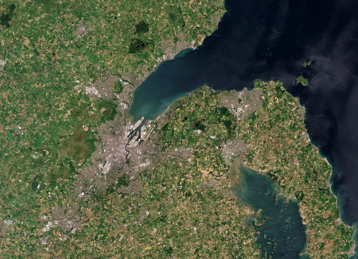
Belfast Lough
Belfast Lough — intertidal inlet in Northern Ireland.
 📷 5
 📷 4
 📷 3
Mountains & hills · Northern Ireland
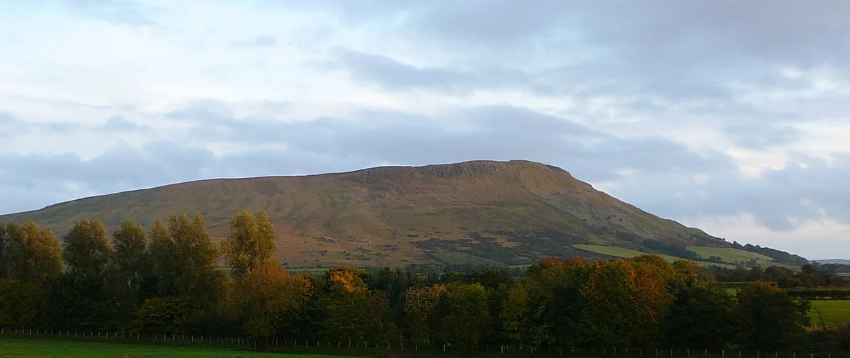
Benbradagh
Benbradagh — Named summit at 465 m.
Frequently asked questions
- Where is Camlough Mountain?
- Camlough Mountain is in Northern Ireland, United Kingdom (postcode BT35 7LE).
- What is Camlough Mountain?
- Camlough Mountain — mountain in northern ireland. Elevation: 423 m.
- How do I get to Camlough Mountain?
- The nearest railway station is Newry, about 3.2 km away. The nearest town is Corrinshego. Drivers can use postcode BT35 7LE.
- How do I get to Camlough Mountain?
- The nearest railway station is Newry, about 3.2 km away. Drivers can navigate to postcode BT35 7LE.