
Hill forts · South East England
Calleva Atrebatum
In or near Silchester.
Calleva Atrebatum — Romano-British town at Silchester, United Kingdom.

Wikimedia Commons contributors — see linked file page for photographer and licence licence

Plan your visit
- Typical visit
- 1 h–2 h
- Nearest railway station
- Bramley · 3.4 km
- Free entry
- Family-friendly
- Dog-friendly
- Limited wheelchair access
Getting there & planning your visit
Calleva Atrebatum is located in Hampshire, with the nearest railway station being Bramley, approximately 3.4 km away. Admission is free, but please note that wheelchair accessibility is limited. The postcode for sat-nav is RG7 2HH.
About
Calleva Atrebatum is a hill fort in the United Kingdom. Heritage designation: scheduled monument. Owned by English Heritage. Managed by English Heritage. Wikidata describes it as: "Romano-British town at Silchester, United Kingdom". Coordinates: 51.3573°, -1.0829°.
Photo gallery
Summary from the official site
Silchester Roman City Walls and Amphitheatre, located in Hampshire, is an archaeological site that showcases the remains of the Roman town of Calleva Atrebatum. Visitors can explore the well-preserved Roman walls and the remains of the amphitheatre, providing insight into the town's historical significance.
Read more on the official property page.
Protected designations
- Area of Outstanding Natural Beauty: North Wessex Downs
Designations sourced from Natural England open data under OGL v3.
From the Wikipedia article
Calleva Atrebatum ("Calleva of the Atrebates") was an Iron Age oppidum, the capital of the Atrebates tribe. It then became a walled town in the Roman province of Britannia, at a major crossroads of the roads of southern Britain. The modern village of Silchester in Hampshire, England, is about a mile (1.6 km) to the west of the site. The village's parish church of St Mary the Virgin is just within the ancient walls. Most of the site lies within the modern civil parish of Silchester, although the amphitheatre is in the adjoining civil parish of Mortimer West End. The whole of the site is within the local authority district of Basingstoke and Deane and the county of Hampshire.
Excerpt from Wikipedia under CC BY-SA 4.0. See the source article linked in Sources below.
Background
History
Roman roads, showing the importance of Calleva as a crossroads and also point of trifurcation of the routes leading to Glevum (Gloucester), South Wales and the South West Peninsula from Londinium (London)]] Calleva Atrebatum ("Calleva of the Atrebates") was an Iron Age settlement, as capital of the Atrebates tribe. It became a walled town in the Roman province of Britannia.
Architecture
Production taking place in the area around Silchester includes a complex of tile kilns at Little London, including two tiles stamped with the title of the Emperor Nero. Because of the abundance of woods in the area, most of the structures were built out of timber.
Visiting
Now primarily owned by Hampshire County Council and managed by English Heritage, the site of Calleva is open to the public during daylight hours, seven days a week and without charge. The full circumference of the walls is accessible, as is the amphitheatre. The interior is farmed and, with the exception of the church and a single track that bisects the interior, inaccessible.
Sourced from Wikipedia under CC BY-SA 4.0.
- Coordinates
- 51.3573, -1.0829
- County
- Hampshire
- District
- Basingstoke and Deane
- Parish
- Silchester
- Postcode
- RG7 2HH
- Parliamentary constituency
- North East Hampshire
- Phone
- 01189 700132
- Nearest railway station
- Bramley — 3.4 km
- Opening
- Open any reasonable time during daylight hours
- Official site
- www.english-heritage.org.uk
Sources
- wikidata: Q1027253 (CC0)
- wikipedia: Calleva Atrebatum (CC BY-SA 4.0)
- commons: Silchester Roman city walls 21.jpg (CC BY-SA 4.0)
Other places nearby

The Late Iron Age oppidum and Roman town of Calleva Atrebatum and associated features
Archaeological sites · 0.0 km

Silchester Amphitheatre
Archaeological sites · 0.5 km

Silchester Amphitheatre
Open-air theatres · 0.6 km

Silchester House
Historic houses · 1.2 km

Silchester War Memorial
Memorials & monuments · 1.2 km

War Memorial
Memorials & monuments · 1.2 km

Silchester
Towns & cities · 1.3 km

The Frith
Archaeological sites · 1.4 km

The Frith
Vineyards · 1.4 km

Mortimer West End
Villages · 1.5 km
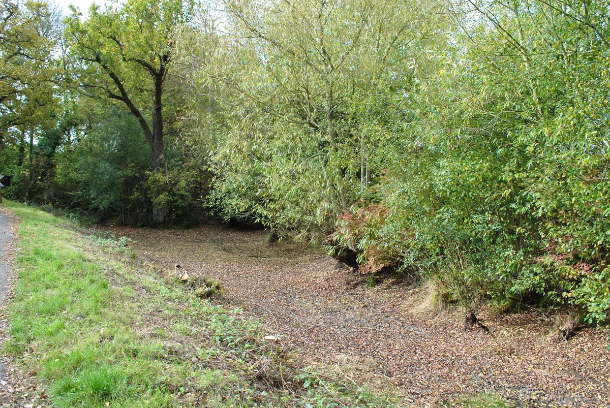
Flex Ditch
Archaeological sites · 1.5 km

Imp Stone
Memorials & monuments · 2.3 km
Nearby
📷 5Archaeological sites · South East England
The Late Iron Age oppidum and Roman town of Calleva Atrebatum and associated features
The Late Iron Age oppidum and Roman town of Calleva Atrebatum and associated features — archaeological site in Silchester, Basingstoke and Deane, England, UK.
📷 5Archaeological sites · South East England
Silchester Amphitheatre
Silchester Amphitheatre — a archaeological in england-south-east, United Kingdom.
📷 5Open-air theatres · South East England
Silchester Amphitheatre
Silchester Amphitheatre — a open-air theatre in england south east.
📷 5Historic houses · South East England
Silchester House
Silchester House — house in Silchester, Basingstoke and Deane, Hampshire, England, UK.
📷 5Memorials & monuments · South East England
Silchester War Memorial
Silchester War Memorial — Grade II listed building-listed memorial in england-south-east, United Kingdom.
📷 5Memorials & monuments · South East England
War Memorial
War Memorial is a memorial in the United Kingdom.
Where to eat & stay near Calleva Atrebatum
Places to stay
 📷 5
📷 5Campsites · South East England
Wellington Country Park Campsite
Wellington Country Park Campsite — a campsite in england south east.
 📷 5
📷 5 📷 7
📷 7Hotels · South East England
Calcot Hotel
Calcot Hotel — a hotel in england south east.
 📷 5
📷 5Hotels · South East England
voco Reading Hotel
voco Reading Hotel — a hotel in england south east.
 📷 5
📷 5 📷 5
📷 5Places to eat & drink
 📷 7
📷 7Historic pubs · South East England
Wellington Arms Public House
Wellington Arms Public House in England South East, United Kingdom.
 📷 7
📷 7Historic pubs · South East England
The Wellington Arms
The Wellington Arms in England South East, United Kingdom.
 📷 7
📷 7Historic pubs · South East England
Jeckyll And Hyde Public House
Jeckyll And Hyde Public House in England South East, United Kingdom.
 📷 5
📷 5Historic pubs · South East England
The Cricketers Public House
The Cricketers Public House in England South East, United Kingdom.
 📷 7
📷 7 📷 7
📷 7More places run by English Heritage
 Flagship📷 10
Museums · London
Kenwood House
Kenwood House — art museum and historic house in Hampstead, London.
 📷 5
📷 5Galleries · London
Apsley House
Apsley House — London townhouse of the Dukes of Wellington.
 📷 5
📷 5Castles · London
Eynsford Castle
Eynsford Castle — castle, now ruinous, in Eynsford, Kent, England, UK.
 📷 5
📷 5Museums · London
Jewel Tower
Jewel Tower — medieval tower in Westminster, London, England, UK.
More places in this region
 📷 5
📷 5Hill forts · South East England
Ankerwycke Priory
Ankerwycke Priory — Benedictine nunnery with associated moat and fishponds.
 📷 5
📷 5Hill forts · South East England
Shornemead Fort
Shornemead Fort — fort in Shorne, Kent, England, UK.
 📷 5
📷 5Hill forts · South East England
Smythe's Megalith
Smythe's Megalith — neolithic monument in Kent, England.
 📷 5
📷 5Hill forts · South East England
White Horse Stone
White Horse Stone — Two megaliths near Aylesford, Kent, England.
Frequently asked questions
- Where is Calleva Atrebatum?
- Calleva Atrebatum is in Hampshire, South-East England, United Kingdom (postcode RG7 2HH), in the parish of Silchester.
- What is Calleva Atrebatum?
- Calleva Atrebatum — Romano-British town at Silchester, United Kingdom.
- How do I get to Calleva Atrebatum?
- The nearest railway station is Bramley, about 3.4 km away. Drivers can use postcode RG7 2HH.
- Who runs Calleva Atrebatum?
- Calleva Atrebatum is operated by English Heritage.
- Is Calleva Atrebatum a listed building?
- Calleva Atrebatum is officially recognised as scheduled monument listed.
- Is Calleva Atrebatum a protected site?
- Yes — Calleva Atrebatum is part of the North Wessex Downs National Landscape (AONB).
- Is Calleva Atrebatum free to visit?
- Yes, Calleva Atrebatum is free to enter.
- How do I get to Calleva Atrebatum?
- The nearest railway station is Bramley, about 3.4 km away. Drivers can navigate to postcode RG7 2HH.