Archaeological sites · North East England
Cade's Road
In or near Chester-le-Street.
Cade's Road in England North East, United Kingdom.

Roger Templeman — CC BY-SA 2.0 via Wikimedia Commons licence
Plan your visit
- Typical visit
- 45 min–1.5 h
- Nearest railway station
- Chester-le-Street · 0.4 km
- Free entry
- Dog-friendly
Getting there & planning your visit
Cade's Road is located in County Durham, with the nearest railway station being Chester-le-Street, just 0.4 km away. Entry to the site is free. The postcode for sat-nav is DH3 3QB.
About
Cade's Road is a place of interest in England North East, United Kingdom — drawn from open-data sources for visitor reference. See the linked Wikipedia article for the full description.
Photo gallery
From the Wikipedia article
Cade's Road is a Roman Road in north-east England. It is named after John Cade of Durham, an 18th-century antiquarian who in 1785 proposed its existence and possible course from the Humber Estuary northwards to the River Tyne, a distance of about 100 miles (160 km). The road's Roman name is unknown. Although evidence exists for such a road on some parts of the proposed route, there is still some doubt regarding its exact course. Examples of place names with the suffix "le-Street": Chester-le-Street, County Durham ( Concangis Roman fort ) Thornton-le-Street, near Thirsk, North Yorkshire Thorpe le Street, near Pocklington, East Riding of Yorkshire
Excerpt from Wikipedia under CC BY-SA 4.0. See the source article linked in Sources below.
- Coordinates
- 54.8559, -1.5720
- District
- County Durham
- Parish
- County Durham, unparished area
- Postcode
- DH3 3QB
- Parliamentary constituency
- North Durham
- Nearest railway station
- Chester-le-Street — 0.4 km
Sources
- wikidata: Q5016332 (CC0)
- wikipedia: Cade's Road (CC BY-SA 4.0)
Other places nearby
Chare
Other places · 0.0 km
St Mary and St Cuthbert, Chester-le-Street
Historic churches · 0.0 km
To Our Glorious Dead
Memorials & monuments · 0.0 km
Concangis Fort Officer's Quarters
Archaeological sites · 0.1 km

Concangis Fort Officer's Quarters
Archaeological sites · 0.1 km
Concangis
Archaeological sites · 0.1 km

Park View School
Historic churches · 0.2 km
Essoldo Chester-le-Street
Theatres · 0.2 km

President 3 & 4
Theatres · 0.3 km

Queen's Hall Cinema
Theatres · 0.4 km

Chester-le-Street railway station
Memorials & monuments · 0.4 km

Ropery Lane
Stadiums · 0.4 km
Nearby
📷 4📷 5Historic churches · North East England
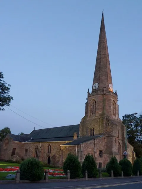
St Mary and St Cuthbert, Chester-le-Street
St Mary and St Cuthbert, Chester-le-Street — church in Chester-le-Street, County Durham, England, UK.
📷 3Memorials & monuments · North East England
To Our Glorious Dead
To Our Glorious Dead is a memorial in the United Kingdom.
📷 3Archaeological sites · North East England
Concangis Fort Officer's Quarters
Concangis Fort Officer's Quarters — a archaeological in scotland-lowlands, United Kingdom.
📷 5Archaeological sites · North East England
Concangis Fort Officer's Quarters
Concangis Fort Officer's Quarters — archaeological in scotland lowlands.
📷 4Archaeological sites · North East England
Concangis
Concangis was an auxiliary castra in the Roman province of Lower Britain (Britannia Inferior). Its ruins are located in Chester-le-Street, County Durham, in England, and are now known as Chester-le-St
Where to eat & stay near Cade's Road
Places to stay
 📷 5
📷 5Caravan parks · North East England
Plum Tree Park
Plum Tree Park — a caravan park in scotland lowlands.
 📷 5
📷 5Caravan parks · North East England
Finchale Abbey Touring Park
Finchale Abbey Touring Park — a caravan park in scotland lowlands.
 📷 5
📷 5 📷 5
📷 5Caravan parks · North East England
Bewicke Main Residential Caravan Park
Bewicke Main Residential Caravan Park — a caravan park in scotland lowlands.
 📷 5
📷 5Caravan parks · North East England
Bobby Shafto Caravan Park
Bobby Shafto Caravan Park — a caravan park in scotland lowlands.
 📷 5
📷 5Hotels · North East England
Bowes Incline Hotel
Bowes Incline Hotel — a hotel in scotland lowlands.
Places to eat & drink
 📷 4
📷 4Historic pubs · North East England
Perkinsville
Perkinsville in England North East, United Kingdom.
 📷 3
📷 3Historic pubs · North East England
Nettlesworth
Nettlesworth in England North East, United Kingdom.
 📷 5
📷 5Historic pubs · North East England
The Shepherd & Shepherdess
The Shepherd & Shepherdess in Scotland Lowlands, United Kingdom.
 📷 4
📷 4 📷 5
📷 5Historic pubs · North East England
The Old Mill Public House
The Old Mill Public House in England North East, United Kingdom.
 📷 7
📷 7Historic pubs · North East England
Marquis Of Granby Public House
Marquis Of Granby Public House in England North East, United Kingdom.
More archaeological sites in this region
 📷 5
📷 5Archaeological sites · North East England
Medieval Manorial Site of Low Dinsdale
Medieval Manorial Site of Low Dinsdale — archaeological in england yorkshire.
 📷 3
📷 3Archaeological sites · North East England
Old Smelting Mill
Old Smelting Mill — a archaeological in england-north-west, United Kingdom.
 📷 5
📷 5Archaeological sites · North East England
Roper Castle or Round Table (Roman Signal Station)
Roper Castle or Round Table (Roman Signal Station) — archaeological in england north west.
 📷 5
📷 5Archaeological sites · North East England
Nine Standards Rigg
Nine Standards Rigg — archaeological in england north west. Elevation: 662 m.
Frequently asked questions
- Where is Cade's Road?
- Cade's Road is in North-East England, United Kingdom (postcode DH3 3QB), in the parish of County Durham, unparished area.
- What is Cade's Road?
- Cade's Road in England North East, United Kingdom.
- How do I get to Cade's Road?
- The nearest railway station is Chester-le-Street, about 0.4 km away. Drivers can use postcode DH3 3QB.
- Is Cade's Road free to visit?
- Yes, Cade's Road is free to enter.
- How do I get to Cade's Road?
- The nearest railway station is Chester-le-Street, about 0.4 km away. Drivers can navigate to postcode DH3 3QB.