
Islands · South East England
Burrow Island
In or near Portsmouth.
Burrow Island — tidal island in Gosport overlooking Portsmouth, in Hampshire, England, UK.

Wikimedia Commons contributors — see linked file page for photographer and licence licence

Plan your visit
- Typical visit
- 4 h–12 h
- Nearest railway station
- Portsmouth Harbour · 1.1 km
- Free entry
- Dog-friendly
Getting there & planning your visit
Burrow Island is located in Gosport, Hampshire, with the postcode PO12 1FL. The nearest railway station is Portsmouth Harbour, which is 1.1 km away. Entry to the island is free.
About
Burrow Island is a island in the United Kingdom. Wikidata describes it as: "tidal island in Gosport overlooking Portsmouth, in Hampshire, England, UK". Coordinates: 50.8033°, -1.1210°.
Photo gallery
Protected designations
- Site of Special Scientific Interest: Portsmouth Harbour SSSI
- Ramsar wetland: Portsmouth Harbour
Designations sourced from Natural England open data under OGL v3.
From the Wikipedia article
Burrow Island (also known as 'Rat Island' or 'Ratty') is a tidal island in Gosport, United Kingdom. The island overlooks Portsmouth Harbour. At low tide a spit connects it with Priddy's Hard. It has been suggested that the name dates from the 17th century and is derived from being within the borough of Gosport. It has been claimed that King Stephen (1096–1154), built a fortification on the island, but this is unlikely to have been the case. Between 1678 and 1679, a fortification named Fort James was constructed on the island under the direction of Bernard de Gomme. It took the form of a square tower 19 ft tall. The fortification was apparently allowed to decay with George Byng commenting on its poor condition in a letter written in either 1707 or 1708. It appears that a rebuilding to a new design was proposed on 1750 but this never took place. What were by then the ruins of the fort were partially demolished in 1827 and nothing now remains above ground level. Burrow Island is owned by the Ministry of Defence, and public access is not permitted; despite this, at low tide some members of the public have ventured onto Burrow Island. It is a popular spot to go fishing. It is known that some have found unique coloured glass bottles that had been washed up on the island. Burrow Island was once used as a burial ground for convicts; several human skeletons were discovered on the island early in 2014. They are believed to be from the 19th century and are the remains of convicts or prisoners of war who had been buried on the island. Burrow Island is one of 43 (unbridged) tidal islands which can be walked to from the mainland of Great Britain.
Excerpt from Wikipedia under CC BY-SA 4.0. See the source article linked in Sources below.
- Coordinates
- 50.8033, -1.1210
- County
- Hampshire
- District
- Gosport
- Parish
- Gosport, unparished area
- Postcode
- PO12 1FL
- Parliamentary constituency
- Gosport
- Nearest railway station
- Portsmouth Harbour — 1.1 km
Sources
- wikidata: Q5000498 (CC0)
- wikipedia: Burrow Island (CC BY-SA 4.0)
- commons: Burrow Island as seen from Portsmouth.jpg (CC BY-SA 4.0)
Featured in this guide
Other places nearby

Fort James
Archaeological sites · 0.0 km

Priddy's Hard
Museums · 0.5 km

Explosion! Museum of Naval Firepower
Museums · 0.6 km

Earthwork defences at Priddy's Hard
Archaeological sites · 0.7 km

HMS Monitor M33
Natural landmarks · 0.7 km

HMS Victory
Maritime museums · 0.8 km

Portsmouth Block Mills
Historic houses · 0.8 km
Royal Naval Museum
Museums · 0.8 km

National Museum of the Royal Navy, Portsmouth
Museums · 0.8 km

Church of St Mary, Gosport
Memorials & monuments · 0.9 km

Mary Rose Museum
Museums · 0.9 km

Vadne
Museums · 0.9 km
Nearby
📷 5Archaeological sites · South East England
Fort James
Fort James — a archaeological in england-south-east, United Kingdom.
📷 5Museums · South East England
Priddy's Hard
Priddy's Hard is a former military installation in Gosport on the south coast of England, named for the original landowner and the firm beach found there. The site originated as a 1750s fort, and then
📷 5Museums · South East England
Explosion! Museum of Naval Firepower
Explosion! Museum of Naval Firepower — a museum in england-south-east, United Kingdom.
📷 5Archaeological sites · South East England
Earthwork defences at Priddy's Hard
Earthwork defences at Priddy's Hard — a archaeological in england-south-east, United Kingdom.
📷 5Natural landmarks · South East England
HMS Monitor M33
HMS Monitor M33 — a natural landmark in england-south-east, United Kingdom.
📷 5Maritime museums · South East England
HMS Victory
HMS Victory in England South East, United Kingdom.
Where to eat & stay near Burrow Island
Places to stay
 📷 5
📷 5 📷 7
📷 7Hotels · South East England
The Queens Hotel
The Queens Hotel — a hotel in england south east.
 📷 5
📷 5Caravan parks · South East England
Stokes Bay Home Park
Stokes Bay Home Park — a caravan park in england south east.
 📷 5
📷 5Caravan parks · South East England
Kingfisher Caravan Park
Kingfisher Caravan Park — a caravan park in england south east.
 📷 5
📷 5Hotels · South East England
Spitbank Fort
Spitbank Fort — a hotel in england south east.
 📷 5
📷 5Caravan parks · South East England
Southsea Leisure Park
Southsea Leisure Park — a caravan park in england south east.
Places to eat & drink
 📷 5
📷 5Historic pubs · South East England
The Royal Arms Public House
The Royal Arms Public House in England South East, United Kingdom.
 📷 5
📷 5Historic pubs · South East England
The Old Customs House
The Old Customs House — Historic pub — listed building or notable heritage status.
 📷 5
📷 5Historic pubs · South East England
Junction Tavern
Junction Tavern in England South East, United Kingdom.
 📷 7
📷 7 📷 5
📷 5Restaurants · South East England
Leliamezze
Leliamezze — a restaurant in england south east.
 📷 5
📷 5Historic pubs · South East England
Yorkshire Grey Public House
Yorkshire Grey Public House in England South East, United Kingdom.
More places in this region
 📷 5
📷 5Islands · South East England
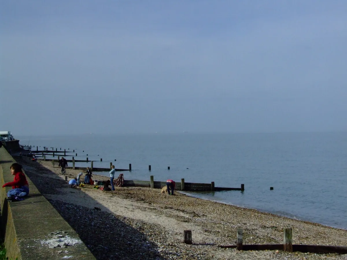
St Mary's Island
St Mary's Island — island in Medway, Kent, England, UK.
 Flagship📷 10
Islands · South East England
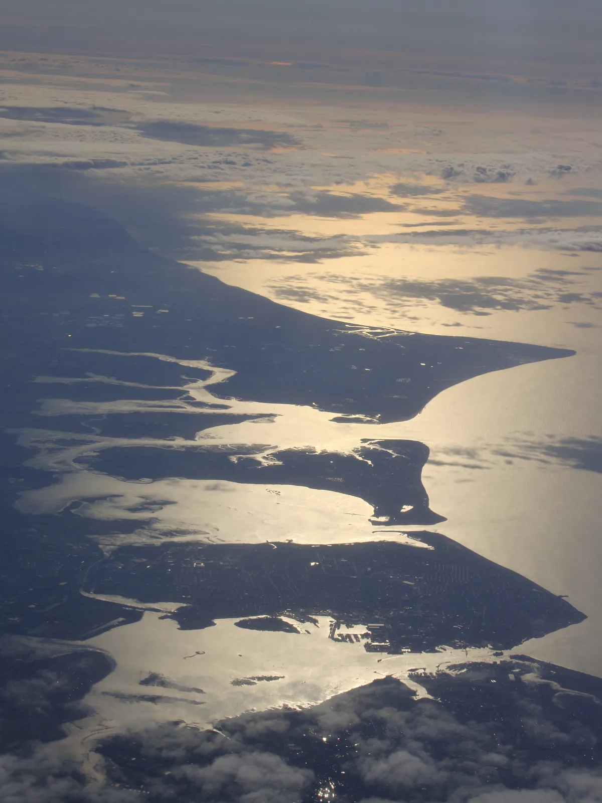
Hayling Island
Hayling Island — island off the south coast of England.
 Flagship📷 7
Islands · South East England
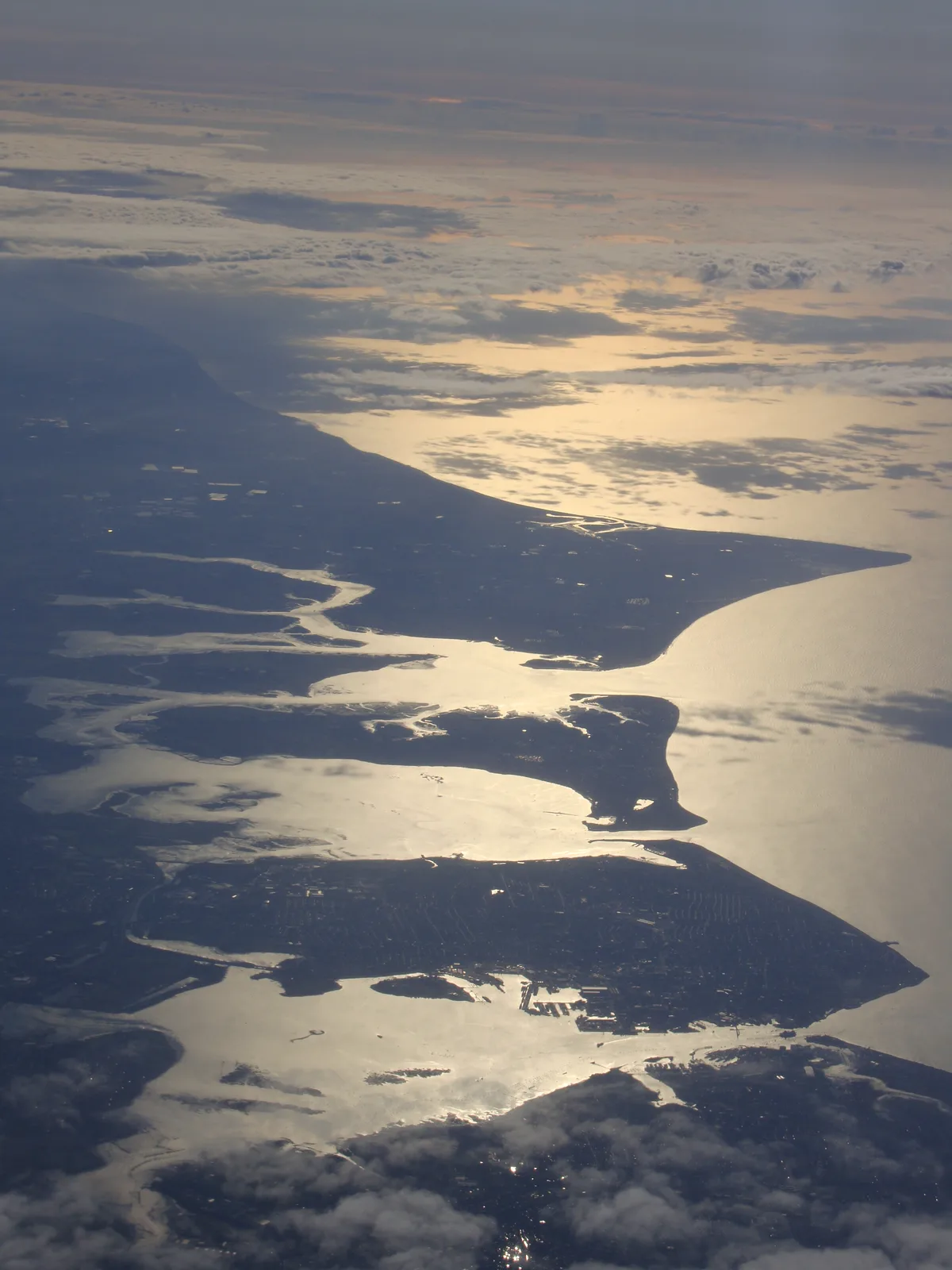
Isle of Sheppey
Isle of Sheppey — island off the northern coast of Kent, England in the Thames Estuary.
 Flagship📷 10
Frequently asked questions
- Where is Burrow Island?
- Burrow Island is in Hampshire, South-East England, United Kingdom (postcode PO12 1FL), in the parish of Gosport, unparished area.
- What is Burrow Island?
- Burrow Island — tidal island in Gosport overlooking Portsmouth, in Hampshire, England, UK.
- How do I get to Burrow Island?
- The nearest railway station is Portsmouth Harbour, about 1.1 km away. The nearest town is Portsmouth. Drivers can use postcode PO12 1FL.
- Is Burrow Island a protected site?
- Yes — Burrow Island is part of the Portsmouth Harbour SSSI Site of Special Scientific Interest and the Portsmouth Harbour Ramsar wetland.
- Is Burrow Island free to visit?
- Yes, Burrow Island is free to enter.
- How do I get to Burrow Island?
- The nearest railway station is Portsmouth Harbour, about 1.1 km away. Drivers can navigate to postcode PO12 1FL.