
Islands · South East England
Isle of Sheppey
Also known as: Ynys Sheppey
In or near Warden.
Isle of Sheppey — island off the northern coast of Kent, England in the Thames Estuary.

Wikimedia Commons contributors — see linked file page for photographer and licence licence

Plan your visit
- Typical visit
- 4 h–12 h
- Nearest railway station
- Swale · 5.8 km
- Free entry
- Dog-friendly
Getting there & planning your visit
To visit the Isle of Sheppey, the nearest railway station is Swale, located 5.8 km away. Entry to the island is free. The postcode for navigation is ME12 3SX.
About
Isle of Sheppey is a island in the United Kingdom. It covers approximately 93 km². Recent population estimates put it at around 38,000 people. Wikidata describes it as: "island off the northern coast of Kent, England in the Thames Estuary". Coordinates: 51.3908°, 0.8308°.
Photo gallery
Protected designations
- Site of Special Scientific Interest: The Swale SSSI
- National Nature Reserve: ELMLEY
- Area of Outstanding Natural Beauty: Kent Downs
- Ramsar wetland: The Swale
Designations sourced from Natural England open data under OGL v3.
From the Wikipedia article
The Isle of Sheppey is an island off the northern coast of Kent, England, neighbouring the Thames Estuary, centred 42 miles (68 km) from central London. It has an area of 36 square miles (93 km2). The island forms part of the local government district of Swale. Sheppey is derived from Old English Sceapig, meaning "Sheep Island". Today's island was historically known as the "Isles of Sheppey" which were Sheppey itself, the Isle of Harty to the south east and the Isle of Elmley to the south west. Over time the channels between the islands have silted up to make one contiguous island, which is now linked by two bridges to the Kentish mainland. Sheppey, like much of north Kent, is largely formed from London Clay and is a plentiful source of fossils. The Mount near Minster rises to 250 feet (76 metres) above sea level and is the highest point on the island. The rest of Sheppey is low-lying and the southern part of the island is marshy land criss-crossed by inlets and drains, largely used for grazing. The economy is driven by a dockyard and port, the presence of three prisons, and various caravan sites.
Excerpt from Wikipedia under CC BY-SA 4.0. See the source article linked in Sources below.
Background
Description
Sheppey is separated from the mainland by a channel called the Swale. In concert with the Wantsum Channel that once separated the Isle of Thanet from mainland Britain to the east (before it silted over in the late Middle Ages), and Yantlet Creek at the Isle of Grain to the west, it was occasionally used in ancient times by ships navigating to and from ports such as Chatham and London to reduce exposure to bad weather in the Thames Estuary or North Sea.
Sourced from Wikipedia under CC BY-SA 4.0.
- Coordinates
- 51.3908, 0.8308
- County
- Kent
- District
- Swale
- Parish
- Eastchurch
- Postcode
- ME12 3SX
- Parliamentary constituency
- Sittingbourne and Sheppey
- Population
- 38,000
- Nearest railway station
- Swale — 5.8 km
Sources
- wikidata: Q1500299 (CC0)
- wikipedia: Isle of Sheppey (CC BY-SA 4.0)
- commons: Leysdown Sheppey Beach 9157.JPG (CC BY-SA 4.0)
Featured in this guide
Other places nearby

Eastchurch Aviation Museum
Museums · 1.2 km

Norwood Manor
Manor houses · 2.3 km

Airplane
Public art & sculpture · 2.4 km

Memorial to the Home of Aviation
Memorials & monuments · 2.5 km

Eastchurch
Villages · 2.6 km

Eastchurch
Historic churches · 2.7 km

Plough Leisure Park
Caravan parks · 3.0 km

Scocles Manor
Manor houses · 3.1 km
Golden Leas Holiday Park
Caravan parks · 3.1 km
Kingsbury Holiday Park
Caravan parks · 3.2 km

Sunnyside Caravan Park
Caravan parks · 3.5 km

Shurland Dale Holiday Park
Caravan parks · 3.5 km
Nearby
📷 3Museums · South East England
Eastchurch Aviation Museum
Eastchurch Aviation Museum — a museum in england-south-east, United Kingdom.
📷 5Manor houses · South East England
Norwood Manor
Norwood Manor — a manor in england-south-east, United Kingdom.
📷 5Public art & sculpture · South East England
Airplane
Airplane — a public art in england-south-east, United Kingdom.
📷 5Memorials & monuments · South East England
Memorial to the Home of Aviation
Memorial to the Home of Aviation — a memorial in england-south-east, United Kingdom.
📷 5📷 5Historic churches · South East England
Eastchurch
Eastchurch is a village and civil parish on the Isle of Sheppey, in the English county of Kent, two miles east of Minster. The village website claims the area has "a history steeped in stories of pira
Where to eat & stay near Isle of Sheppey
Places to stay
📷 5Caravan parks · South East England
Plough Leisure Park
Plough Leisure Park — a caravan park in england south east.
📷 5Caravan parks · South East England
Golden Leas Holiday Park
Golden Leas Holiday Park — a caravan park in england south east.
📷 5Caravan parks · South East England
Kingsbury Holiday Park
Kingsbury Holiday Park — a caravan park in england south east.
📷 5Caravan parks · South East England
Sunnyside Caravan Park
Sunnyside Caravan Park — a caravan park in england south east.
📷 5Caravan parks · South East England
Shurland Dale Holiday Park
Shurland Dale Holiday Park — a caravan park in england south east.
 📷 5
📷 5Caravan parks · South East England
Hollybush Farm Holiday Park
Hollybush Farm Holiday Park — a caravan park in england south east.
Places to eat & drink
 📷 5
📷 5Historic pubs · South East England
Ferry House Inn
Ferry House Inn — Historic pub — listed building or notable heritage status.
 📷 7
📷 7Restaurants · South East England
British Raj
British Raj — a restaurant in england south east.
 📷 5
📷 5Historic pubs · South East England
Black Lion Public House
Black Lion Public House in England South East, United Kingdom.
 📷 5
📷 5Historic pubs · South East England
Mechanics Arms
Mechanics Arms in England South East, United Kingdom.
 📷 5
📷 5Historic pubs · South East England
34, Abbey Street
34, Abbey Street in England South East, United Kingdom.
 📷 5
📷 5Historic pubs · South East England
Maison Dieu
Maison Dieu in England South East, United Kingdom.
More places in this region
 📷 5
📷 5Islands · South East England
St Mary's Island
St Mary's Island — island in Medway, Kent, England, UK.
 Flagship📷 10
Islands · South East England
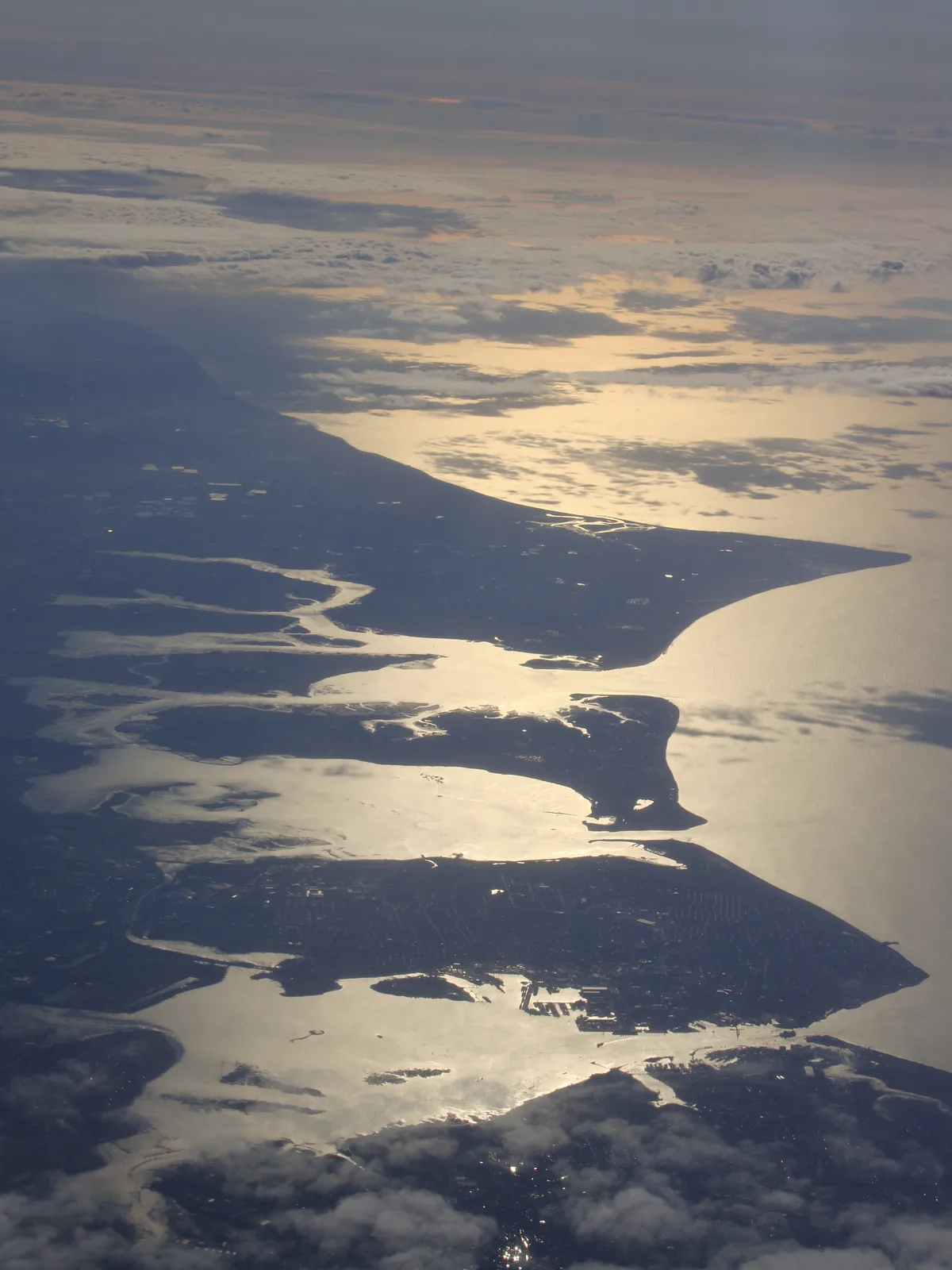
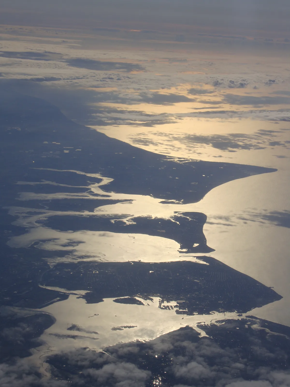
Hayling Island
Hayling Island — island off the south coast of England.
 Flagship📷 10
 Flagship📷 10
Islands · South East England
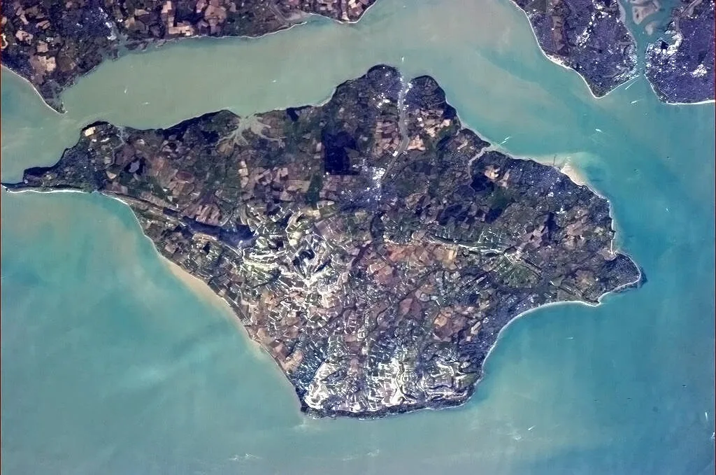
Q9679
Q9679 — island, county and unitary authority area of England, United Kingdom.
Frequently asked questions
- Where is Isle of Sheppey?
- Isle of Sheppey is in Kent, South-East England, United Kingdom (postcode ME12 3SX), in the parish of Eastchurch.
- What is Isle of Sheppey?
- Isle of Sheppey — island off the northern coast of Kent, England in the Thames Estuary.
- How do I get to Isle of Sheppey?
- The nearest railway station is Swale, about 5.8 km away. The nearest town is Warden. Drivers can use postcode ME12 3SX.
- Is Isle of Sheppey a protected site?
- Yes — Isle of Sheppey is part of the The Swale SSSI Site of Special Scientific Interest and the ELMLEY National Nature Reserve.
- Is Isle of Sheppey free to visit?
- Yes, Isle of Sheppey is free to enter.
- How do I get to Isle of Sheppey?
- The nearest railway station is Swale, about 5.8 km away. Drivers can navigate to postcode ME12 3SX.