Islands · South West England
Burnt Island
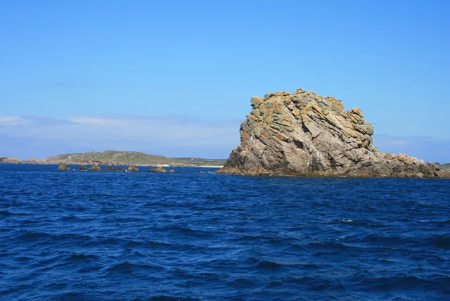
Burnt Island — island in the Isles of Scilly, Cornwall.

Wikimedia Commons contributors — see linked file page for photographer and licence licence
Plan your visit
- Typical visit
- 4 h–12 h
- Free entry
- Dog-friendly
About
Burnt Island is a island in the United Kingdom. Wikidata describes it as: "island in the Isles of Scilly, Cornwall". Coordinates: 49.8958°, -6.3539°.
Photo gallery
Protected designations
- Area of Outstanding Natural Beauty: Isles Of Scilly
Designations sourced from Natural England open data under OGL v3.
From the Wikipedia article
Burnt Island is a small, uninhabited island in the Isles of Scilly, Cornwall, United Kingdom. It is covered in thrift and long grasses. and is linked to the island of St Agnes at low tide. It is approximately 150 metres long and 125 metres wide and is oblong in shape. As of 2014, Burnt Island had a geocache.
Excerpt from Wikipedia under CC BY-SA 4.0. See the source article linked in Sources below.
- Coordinates
- 49.8958, -6.3539
- District
- Isles of Scilly
- Parish
- St Agnes
- Postcode
- TR22 0PL
- Parliamentary constituency
- St Ives
Sources
- wikidata: Q99014573 (CC0)
- wikipedia: Burnt Island, Isles of Scilly (CC BY-SA 4.0)
- commons: Scillonian Granite - geograph.org.uk - 591015.jpg (CC BY-SA 4.0)
Other places nearby
Loading nearby places…
Nearby
 📷 5
📷 5Beaches · South West England
Porth Coose
Porth Coose is a beach in the United Kingdom.
 📷 5
📷 5Beaches · South West England
Periglis Beach
Periglis Beach is a beach in the United Kingdom.
 📷 3
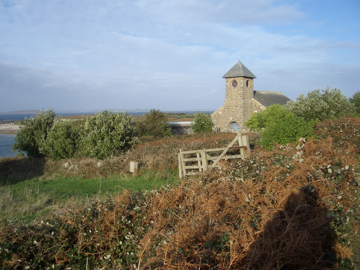
📷 3Historic churches · South West England
St Agnes' Church
St Agnes' Church — church in St Agnes, Isles of Scilly, Cornwall, England, UK.
Campsites · South West England
Troytown Farm Campsite
Troytown Farm Campsite — a campsite in england south west.
 📷 3
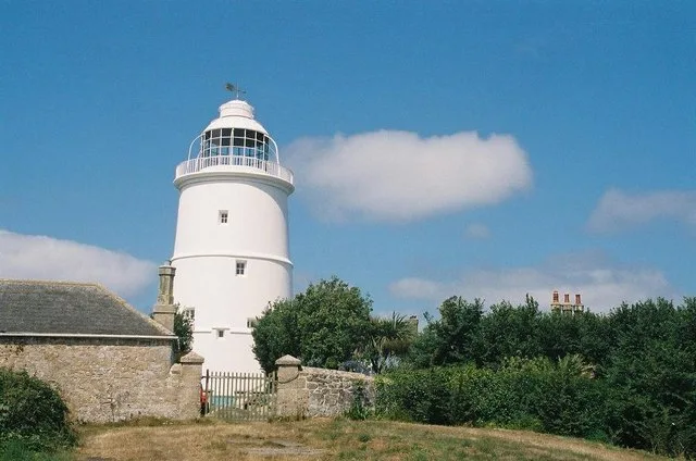
📷 3Lighthouses · South West England
St Agnes Lighthouse
St Agnes Lighthouse — lighthouse in Cornwall, England, UK.
 📷 3
📷 3Archaeological sites · South West England
Troytown Maze
Troytown Maze — a archaeological in england-south-west, United Kingdom.
More places in this region
 Flagship📷 10
Islands · South West England
Annet
Annet — island in Isles of Scilly, United Kingdom.
 Flagship📷 10
Islands · South West England
Bishop Rock
Bishop Rock — islet in the Atlantic Ocean, at the Isles of Scilly, England.
 Flagship📷 10
Islands · South West England
Bryher
Bryher — island of the Isles of Scilly, Cornwall, England.
 📷 8
📷 8Islands · South West England
Castle Bryher
Castle Bryher — island in Isles of Scilly, United Kingdom.
Frequently asked questions
- Where is Burnt Island?
- Burnt Island is in South-West England, United Kingdom (postcode TR22 0PL), in the parish of St Agnes.
- Is Burnt Island a protected site?
- Yes — Burnt Island is part of the Isles Of Scilly National Landscape (AONB).
- Is Burnt Island free to visit?
- Yes, Burnt Island is free to enter.
- How do I get to Burnt Island?
- Drivers can navigate to postcode TR22 0PL. It sits within the St Ives parliamentary constituency.