
Islands · South West England
Annet
In or near Hugh Town.
Annet — island in Isles of Scilly, United Kingdom.

Wikimedia Commons contributors — see linked file page for photographer and licence licence

Plan your visit
- Typical visit
- 4 h–12 h
- Free entry
- Dog-friendly
Getting there & planning your visit
Annet is an island located in South West England, with no nearest railway station or postcode available. Entry to the island is free. Accessibility details are not provided.
About
Annet is a island in the United Kingdom. It covers approximately 21 km². Part of Isles of Scilly. Wikidata describes it as: "island in Isles of Scilly, United Kingdom". Coordinates: 49.8967°, -6.3733°.
Photo gallery
Protected designations
- Site of Special Scientific Interest: Annet SSSI
- Area of Outstanding Natural Beauty: Isles Of Scilly
- Ramsar wetland: Isles of Scilly
Designations sourced from Natural England open data under OGL v3.
From the Wikipedia article
Annet (Cornish: Anet, lit. 'kittiwake') is the second-largest of the approximately 50 uninhabited Isles of Scilly, one kilometre (1⁄2 nautical mile) west of St Agnes with a length of one kilometre (5⁄8 mi) and approximately 22 hectares (54 acres) in area. The low-lying island is almost divided in two by a narrow neck of land at West Porth which can, at times, be covered by waves. At the northern end of the island are the two granite carns of Annet Head and Carn Irish and three smaller carns known as the Haycocks. The rocky outcrops on the southern side of the island, such as South Carn, are smaller. Annet is a bird sanctuary and the main seabird breeding site in Scilly. The island is closed to the public all year round to limit the disturbance to the breeding seabirds during the summer months and breeding Atlantic Grey Seals during the winter months, for which it has been designated a Site of Special Scientific Interest (SSSI). It is also within part of the Isles of Scilly Area of Outstanding Natural Beauty (AONB), Isles of Scilly Heritage Coast and part of Plantlife's, Isles of Scilly Important Plant Area The island is managed by the Isles of Scilly Wildlife Trust who lease it from the Duchy of Cornwall.
Excerpt from Wikipedia under CC BY-SA 4.0. See the source article linked in Sources below.
Background
History
Little has been found on Annet in the way of human remains apart from a prehistoric hut circle, a fragmentary field system and several limpet middens. Bones of cattle and sheep were found indicating that they were eaten here and probably grazed the island. The name of the island is first recorded in 1302 as Anet. Also recorded as Anete in 1305, Anet in 1339, Agnet in 1570 and Agnet iland alias Annett in 1650. In the 19th century Annet was ″used for pasturage by the inhabitants of other islands″ although with only one freshwater seepage there could not have been many animals grazing on the island. The SS Castleford struck the Crebawethans in June 1877 and led to some of her cargo of 250 to…
Sourced from Wikipedia under CC BY-SA 4.0.
- Coordinates
- 49.8967, -6.3733
- Address
- | grid_reference = SV864087
Sources
- wikidata: Q566475 (CC0)
- wikipedia: Annet, Isles of Scilly (CC BY-SA 4.0)
- commons: Annet gan Nat Legg.jpg (CC BY-SA 4.0)
Other places nearby

Hellweathers
Islands · 0.9 km

Great Smith
Islands · 1.0 km

Burnt Island
Islands · 1.4 km

Two early post-medieval quays in north and north western Periglis, St Agnes
Marinas · 1.6 km

Troytown Farm Campsite
Campsites · 1.7 km

Porth Coose
Beaches · 1.7 km

Periglis Beach
Beaches · 1.7 km

Troytown Maze
Archaeological sites · 1.7 km
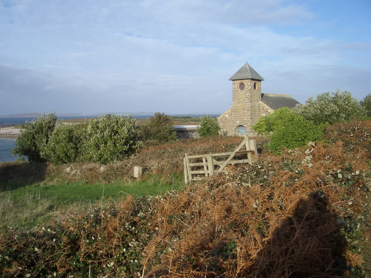
St Agnes' Church
Historic churches · 1.7 km

Muncoy
Islands · 2.0 km

St. Agnes Lighthouse
Lighthouses · 2.0 km
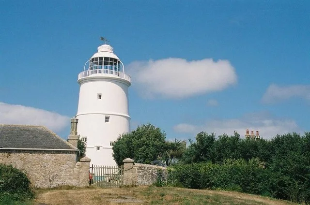
St Agnes Lighthouse
Lighthouses · 2.1 km
Nearby
📷 5Islands · South West England
Hellweathers
Hellweathers — rocks in Isles of Scilly, Cornwall, England, UK.
📷 5Islands · South West England
Great Smith
Great Smith — island in Isles of Scilly, United Kingdom.
📷 5Islands · South West England
Burnt Island
Burnt Island — island in the Isles of Scilly, Cornwall.
📷 5Marinas · South West England
Two early post-medieval quays in north and north western Periglis, St Agnes
Two early post-medieval quays in north and north western Periglis, St Agnes — a marina in england south west.
📷 5Campsites · South West England
Troytown Farm Campsite
Troytown Farm Campsite — a campsite in england south west.
📷 5Where to eat & stay near Annet
Places to stay
📷 5Campsites · South West England
Troytown Farm Campsite
Troytown Farm Campsite — a campsite in england south west.
 📷 5
📷 5Hotels · South West England
Star Castle
Star Castle — a hotel in england south west.
 📷 5
📷 5Hotels · South West England
Tregarthen's Hotel
Tregarthen's Hotel — a hotel in england south west.
 📷 5
📷 5Hotels · South West England
Atlantic Hotel
Atlantic Hotel — a hotel in england south west.
 📷 5
📷 5B&Bs · South West England
Lyonesse Guest House
Lyonesse Guest House — a bed-and-breakfast in england south west.
 📷 5
📷 5Campsites · South West England
Pelistry Campsite
Pelistry Campsite — a campsite in england south west.
More places in this region
 Flagship📷 10
Islands · South West England
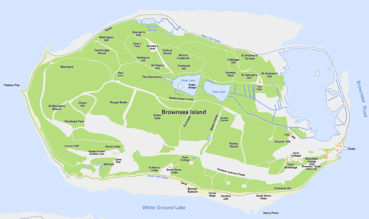
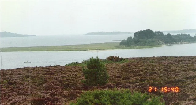
Brownsea Island
Brownsea Island — island in Poole Harbour, Dorset, England, UK.
 Flagship📷 10
 📷 5
📷 5 📷 4
📷 4Frequently asked questions
- Where is Annet?
- Annet is in South-West England, United Kingdom.
- What is Annet?
- Annet — island in Isles of Scilly, United Kingdom.
- How do I get to Annet?
- The nearest town is Hugh Town. Its coordinates are 49.8967°, -6.3733°.
- Is Annet a protected site?
- Yes — Annet is part of the Annet SSSI Site of Special Scientific Interest and the Isles Of Scilly National Landscape (AONB).
- Is Annet free to visit?
- Yes, Annet is free to enter.