
Islands · South West England
Bishop Rock
In or near Hugh Town.
Bishop Rock — islet in the Atlantic Ocean, at the Isles of Scilly, England.

Wikimedia Commons contributors — see linked file page for photographer and licence licence

Plan your visit
- Typical visit
- 4 h–12 h
- Free entry
- Dog-friendly
Getting there & planning your visit
Bishop Rock is an island located in South West England, with coordinates 49.8729 latitude and -6.4457 longitude. There is no nearest railway station or postcode available for this remote location. Entry to the island is free.
About
Bishop Rock is a island in the United Kingdom. Part of Isles of Scilly. Wikidata describes it as: "islet in the Atlantic Ocean, at the Isles of Scilly, England". Coordinates: 49.8729°, -6.4457°.
Photo gallery
Protected designations
- Area of Outstanding Natural Beauty: Isles Of Scilly
Designations sourced from Natural England open data under OGL v3.
From the Wikipedia article
The Bishop Rock (Cornish: Men an Epskop) is a skerry off the British coast in the northern Atlantic Ocean known for its lighthouse. It is in the westernmost part of the Isles of Scilly, an archipelago 45 kilometres (24 nautical miles) off the southwestern tip of the Cornish peninsula of Great Britain. The Guinness Book of Records lists it as the world's smallest island with a building on it. The original iron lighthouse was begun in 1847 but was washed away before it could be completed. The present building was completed in 1858 and was first lit on 1 September that year. Before the installation of the helipad, visitors to the lighthouse would rappel from the base (with winches installed at the lamp level and at the base) to boats waiting away from the lighthouse. Bishop Rock is also at the eastern end of the North Atlantic shipping route used by ocean liners in the first half of the 20th century; the western end being the entrance to Lower New York Bay. This was the route that ocean liners took when competing for the transatlantic speed record, known as the Blue Riband.
Excerpt from Wikipedia under CC BY-SA 4.0. See the source article linked in Sources below.
Background
History
In the late 13th century, when the Isles of Scilly were under the jurisdiction of John de Allet and his wife Isabella, anyone convicted of felony "ought to be taken to a certain rock in the sea, with two barley loaves and a pitcher of water and left until the sea swallowed him up". The rock was originally recorded as Maen Escop in 1284 and Maenenescop in 1302. In Cornish, Men Eskop means "Bishop's Stone", whilst Men an Eskop means "the Stone of the Bishop". The outer rocks to the west of St Agnes also used to be known as the Bishop and Clerk, but exactly how they acquired these similar names is not known for certain. East of Bishop Rock are the Western Rocks and the Gilstone Reef, where…
Architecture
Bishop Lighthouse is often referred to as "King of the lighthouses". With a height of 49 m the lighthouse is the tallest in England, together with Eddystone Lighthouse. The second granite lighthouse: £34,559 Below and inside the lighthouse are 10floors with spiral staircase to the 2nd floor with a door (made from gun metal (likely bronze) and installed in 1887) that leads down an external metal (likely bronze) ladder to climb down to the large exterior base. From the base another metal ladder provides access to a stone staircase to the waterline. Prior to automation, the floors of the lighthouse were occupied as follows in 1911 (with later changes of use noted in italics):
Sourced from Wikipedia under CC BY-SA 4.0.
- Coordinates
- 49.8729, -6.4457
Sources
- wikidata: Q866344 (CC0)
- wikipedia: Bishop Rock (CC BY-SA 4.0)
- commons: Bishop Rock Lighthouse - Isles of Scilly.jpg (CC BY-SA 4.0)
Other places nearby
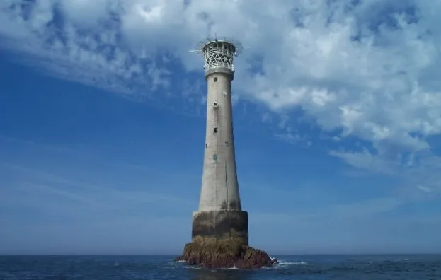
Bishop Rock Lighthouse
Lighthouses · 0.1 km

Retarrier Ledges
Islands · 1.4 km
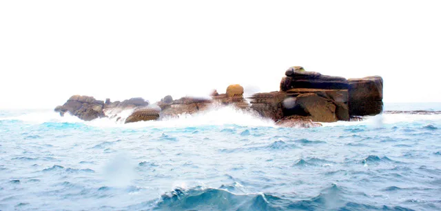
Little Crebawethan
Islands · 2.1 km

Codnors Rocks
Islands · 2.4 km
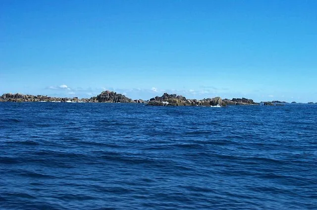
Great Crebawethan
Islands · 2.4 km

Gilstone
Islands · 2.8 km

Crim Rocks
Islands · 2.8 km

Jacky's Rock
Islands · 2.9 km

Zantman's Rock
Islands · 3.1 km
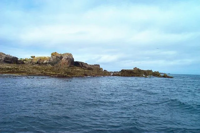
Rosevear
Islands · 3.3 km
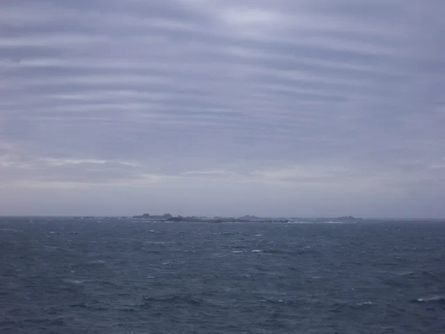
Rosevean
Islands · 3.4 km
Pednathise Head
Islands · 3.5 km
Nearby
📷 5Lighthouses · South West England
Bishop Rock Lighthouse
Bishop Rock Lighthouse — lighthouse on its islet in the Atlantic Ocean, at the Isles of Scilly, England.
📷 3📷 3Islands · South West England
Little Crebawethan
Little Crebawethan — island in Isles of Scilly, Cornwall, England, UK.
📷 3Islands · South West England
Codnors Rocks
Codnors Rocks — landform in the Isles of Scilly, United Kingdom.
📷 5Islands · South West England
Great Crebawethan
Great Crebawethan — island in Isles of Scilly, Cornwall, England, UK.
📷 4Where to eat & stay near Bishop Rock
Places to stay
 📷 5
📷 5Campsites · South West England
Troytown Farm Campsite
Troytown Farm Campsite — a campsite in england south west.
 📷 5
📷 5Hotels · South West England
Star Castle
Star Castle — a hotel in england south west.
 📷 5
📷 5Hotels · South West England
Tregarthen's Hotel
Tregarthen's Hotel — a hotel in england south west.
 📷 5
📷 5Hotels · South West England
Atlantic Hotel
Atlantic Hotel — a hotel in england south west.
 📷 5
📷 5B&Bs · South West England
Lyonesse Guest House
Lyonesse Guest House — a bed-and-breakfast in england south west.
 📷 5
📷 5Campsites · South West England
Pelistry Campsite
Pelistry Campsite — a campsite in england south west.
More places in this region
 Flagship📷 10
Islands · South West England
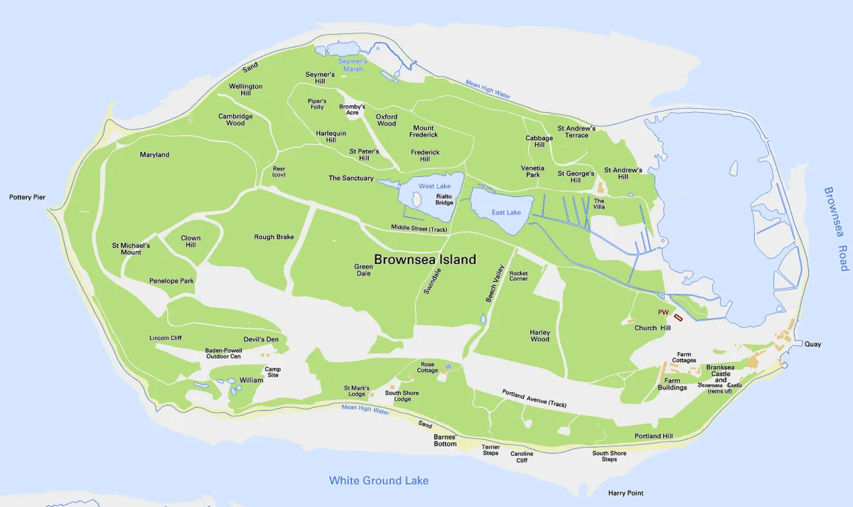
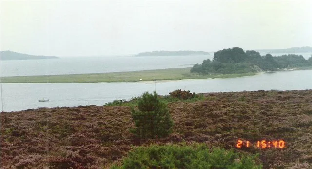
Brownsea Island
Brownsea Island — island in Poole Harbour, Dorset, England, UK.
 Flagship📷 10
 📷 5
📷 5 📷 4
📷 4Frequently asked questions
- Where is Bishop Rock?
- Bishop Rock is in South-West England, United Kingdom.
- What is Bishop Rock?
- Bishop Rock — islet in the Atlantic Ocean, at the Isles of Scilly, England.
- How do I get to Bishop Rock?
- The nearest town is Hugh Town. Its coordinates are 49.8729°, -6.4457°.
- Is Bishop Rock a protected site?
- Yes — Bishop Rock is part of the Isles Of Scilly National Landscape (AONB).
- Is Bishop Rock free to visit?
- Yes, Bishop Rock is free to enter.