Mountains & hills · East Midlands
Burnt Hill
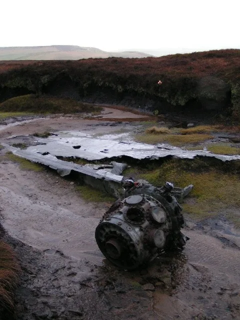
Burnt Hill — mountain in england east midlands. Elevation: 452 m.

Graham Hogg — CC BY-SA 2.0 via Wikimedia Commons licence
Plan your visit
- Typical visit
- 3 h–8 h
- Best time of year
- Late spring – early autumn (May–Oct)
About
Burnt Hill is a mountain located in england east midlands. Elevation: 452 m. A named British peak recorded in OpenStreetMap. Peaks are typically named on Ordnance Survey 1:50k mapping.
Photo gallery
Place summary
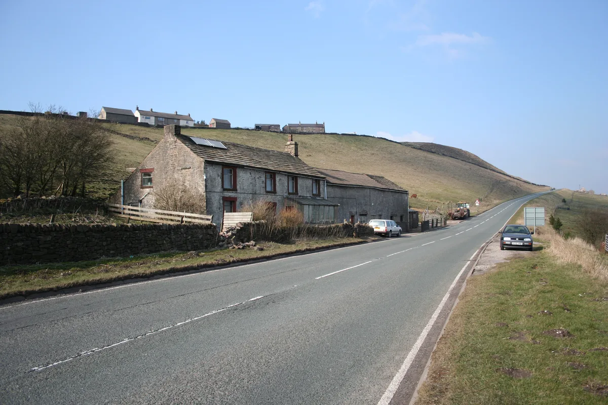
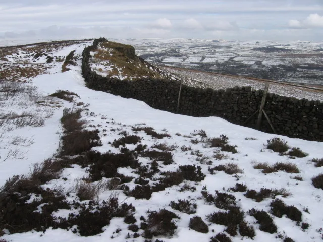
Burnt Hill is a mountain located in the East Midlands. It offers various outdoor activities for visitors, including hiking and nature walks. The area is characterised by its natural landscape and provides opportunities for exploration and enjoyment of the local environment.
AI-generated from the structured facts on this page (operator, designation, listing, era). Not a substitute for visiting.
- Coordinates
- 53.4085, -1.9330
Sources
- osm: n3513613365 (ODbL)
Other places nearby
Loading nearby places…
Nearby
📷 5Mountains & hills · East Midlands
Harry Hut
Harry Hut — mountain in england east midlands. Elevation: 441 m.
 📷 5
📷 5Mountains & hills · East Midlands
The Knott
The Knott — mountain in england east midlands. Elevation: 454 m.
 📷 3
📷 3Memorials & monuments · East Midlands
Ken’s Place
Ken’s Place — a memorial in england-east-midlands, United Kingdom.
 📷 4
📷 4Mountains & hills · East Midlands
Mill Hill
Mill Hill — Named summit at 544 m.
 📷 5
📷 5Mountains & hills · East Midlands
Knarrs
Knarrs — a hill or mountain in england east midlands.
 📷 3
📷 3Viewpoints · East Midlands
Heron Crags
Heron Crags is a viewpoint in the United Kingdom.
Where to eat & stay near Burnt Hill
Places to stay
 📷 5
📷 5Campsites · East Midlands
Hayfield Campsite
Hayfield Campsite — a campsite in england east midlands.
 📷 5
📷 5Hotels · East Midlands
Kinder Lodge
Kinder Lodge — a hotel in england east midlands.
 📷 5
📷 5Caravan parks · East Midlands
Windy Harbour Hotel Caravan and Camping Site
Windy Harbour Hotel Caravan and Camping Site — a caravan park in england east midlands.
 📷 5
📷 5Campsites · West Midlands
Boarfold Scout Camp
Boarfold Scout Camp — a campsite in england west midlands.
 📷 5
📷 5Caravan parks · West Midlands
Shaw Farm - Static Caravans
Shaw Farm - Static Caravans — a caravan park in england west midlands.
 📷 5
📷 5Campsites · East Midlands
chapel view campsite
chapel view campsite — a campsite in england east midlands.
Places to eat & drink
 📷 5
📷 5Historic pubs · Yorkshire & the Humber
Royal Hotel
Royal Hotel in England Yorkshire, United Kingdom.
 📷 5
📷 5Historic pubs · Yorkshire & the Humber
The Crown Inn, Glossop
The Crown Inn, Glossop in England Yorkshire, United Kingdom.
 📷 5
📷 5Historic pubs · Yorkshire & the Humber
Former Dollars Public House
Former Dollars Public House in England Yorkshire, United Kingdom.
 📷 5
📷 5Historic pubs · Yorkshire & the Humber
Norfolk Arms Public House
Norfolk Arms Public House in England Yorkshire, United Kingdom.
 📷 5
📷 5Historic pubs · Yorkshire & the Humber
The Oakwood and Oakwood Restaurant
The Oakwood and Oakwood Restaurant in England Yorkshire, United Kingdom.
 📷 5
📷 5Historic pubs · Yorkshire & the Humber
Bulls Head Public House
Bulls Head Public House in England Yorkshire, United Kingdom.
More mountains in this region
 📷 3
📷 3Mountains & hills · East Midlands
Axe Edge Moor
Axe Edge Moor — Named summit at 551 m.
Mountains & hills · East Midlands
Beacon Hill
Beacon Hill — Named summit at 244.5 m.
Mountains & hills · East Midlands
Beacon Hill
Beacon Hill — Named summit at 105 m.
 📷 3
📷 3Mountains & hills · East Midlands
Black Edge - Summit
Black Edge - Summit — Named summit at 506.7 m.
Frequently asked questions
- Where is Burnt Hill?
- Burnt Hill is in the East Midlands, United Kingdom.
- What is Burnt Hill?
- Burnt Hill — mountain in england east midlands. Elevation: 452 m.
- How do I get to Burnt Hill?
- Its coordinates are 53.4085°, -1.9330°.