
Mountains & hills · South Wales
Bryn Teg
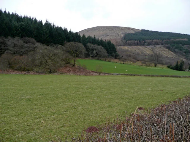
Bryn Teg — mountain in wales south. Elevation: 620 m.

don cload — CC BY-SA 2.0 via Wikimedia Commons licence

Plan your visit
- Typical visit
- 3 h–8 h
- Best time of year
- Late spring – early autumn (May–Oct)
- Nearest railway station
- Torpantau · 5.9 km
- Dog-friendly
About
Bryn Teg is a mountain located in wales south. Elevation: 620 m. A named British peak recorded in OpenStreetMap. Peaks are typically named on Ordnance Survey 1:50k mapping.
Photo gallery
Place summary
Bryn Teg is a mountain located in South Wales. It is known for its scenic views and natural landscapes typical of the region. Visitors can expect a range of outdoor activities, including hiking and wildlife observation. The area offers a rugged terrain, making it suitable for those seeking a more challenging experience in the Welsh countryside.
AI-generated from the structured facts on this page (operator, designation, listing, era). Not a substitute for visiting.
- Coordinates
- 51.8893, -3.4126
- Nearest railway station
- Torpantau — 5.9 km
Sources
- osm: n11466876071 (ODbL)
Other places nearby
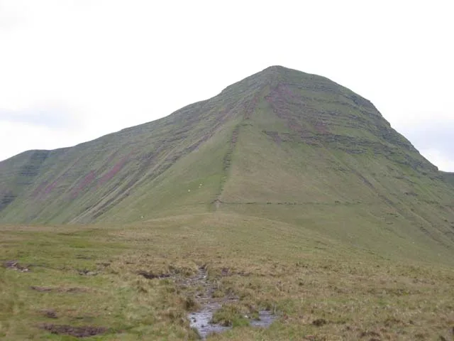
Cribyn
Natural landmarks · 1.0 km
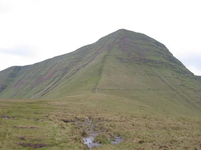
Cribyn
Mountains & hills · 1.0 km
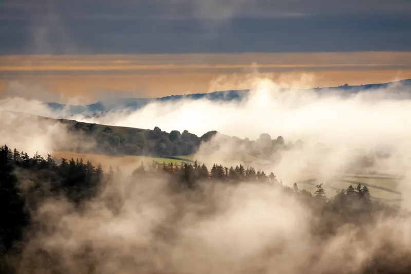
Bannau Brycheiniog (Brecon Beacons)
National parks · 1.1 km

Cefn Cwm Llwch
Mountains & hills · 1.3 km
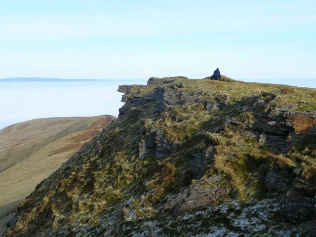
Fan y Big
Mountains & hills · 1.7 km

Beacons Way
Military museums · 1.7 km
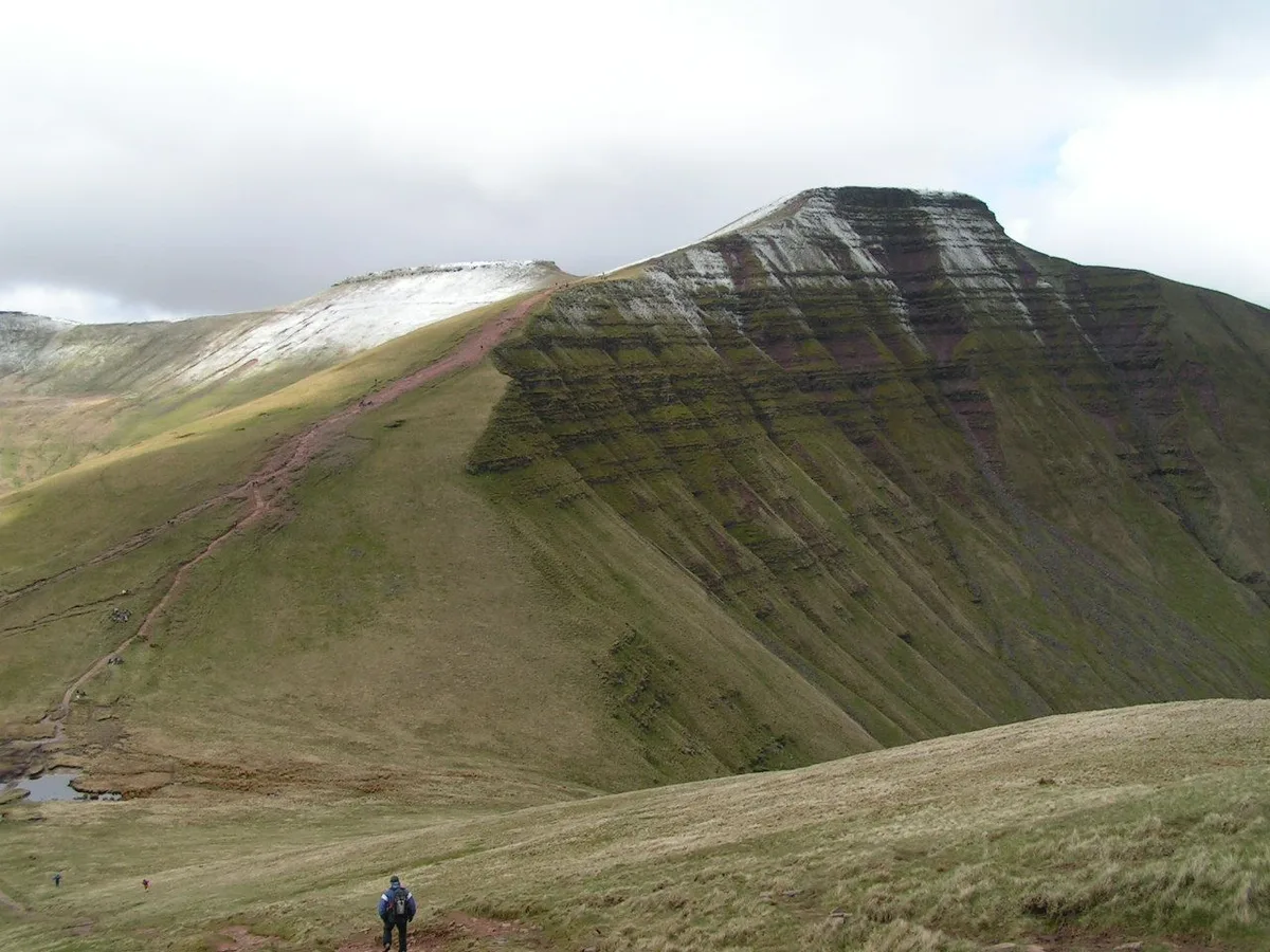
Pen y Fan
Natural landmarks · 1.8 km
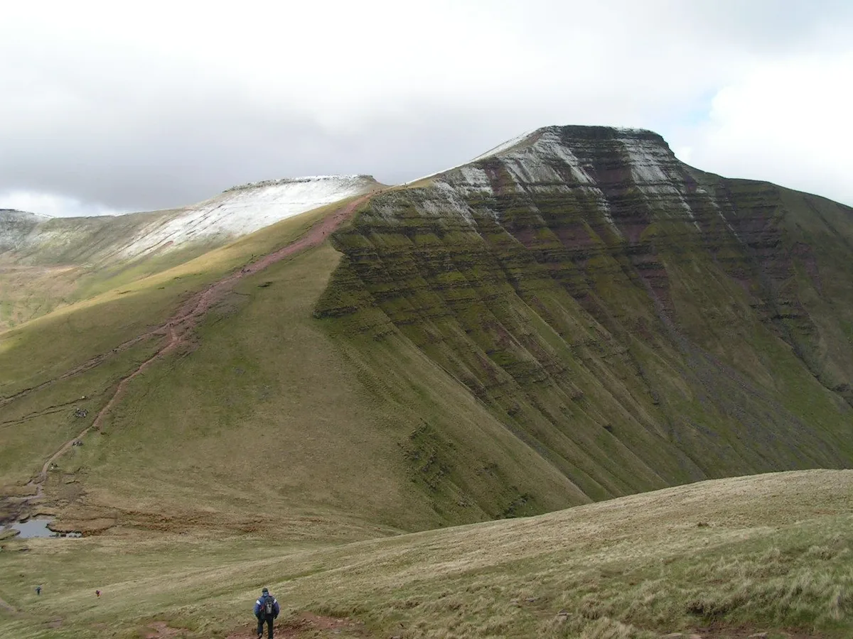
Pen y Fan
Mountains & hills · 1.8 km

Allt Ddu
Mountains & hills · 1.8 km

Cwar Mawr Quarry
Historic houses · 1.8 km

Cefn Cyff
Mountains & hills · 2.3 km
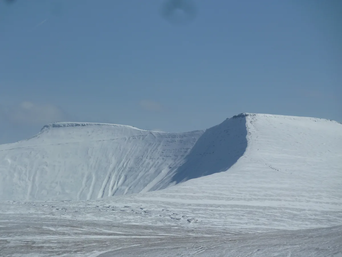
Corn Du
Mountains & hills · 2.3 km
Nearby
📷 5📷 5Flagship📷 3National parks · South Wales
Bannau Brycheiniog (Brecon Beacons)
Bannau Brycheiniog (Brecon Beacons) is a National park in Wales.
📷 5Mountains & hills · South Wales
Cefn Cwm Llwch
Cefn Cwm Llwch — mountain in wales south. Elevation: 701 m.
📷 3📷 5Where to eat & stay near Bryn Teg
Places to stay
 📷 5
 📷 5
Campsites · South Wales
Pentwyn Farm Camp Site
Pentwyn Farm Camp Site — a campsite in wales south.
 📷 5
 📷 5
Hostels · South Wales
YHA Llwyn-y-celyn (YHA Brecon Beacons)
YHA Llwyn-y-celyn (YHA Brecon Beacons) — a hostel in wales south.
 📷 7
Hotels · South Wales
The Gremlin Hotel
The Gremlin Hotel — a hotel in wales south.
 📷 7
Hotels · South Wales
The Wellington Hotel
The Wellington Hotel — a hotel in wales south.
Places to eat & drink
 📷 7
Restaurants · South Wales
Chang Thai Cuisine
Chang Thai Cuisine — a restaurant in wales south.
 📷 5
Historic pubs · South Wales
White Hart
White Hart — Historic pub — listed building or notable heritage status.
 📷 4
 📷 5
Restaurants · South Wales
Sultan of Wales
Sultan of Wales — a restaurant in wales south.
 📷 7
More mountains in this region
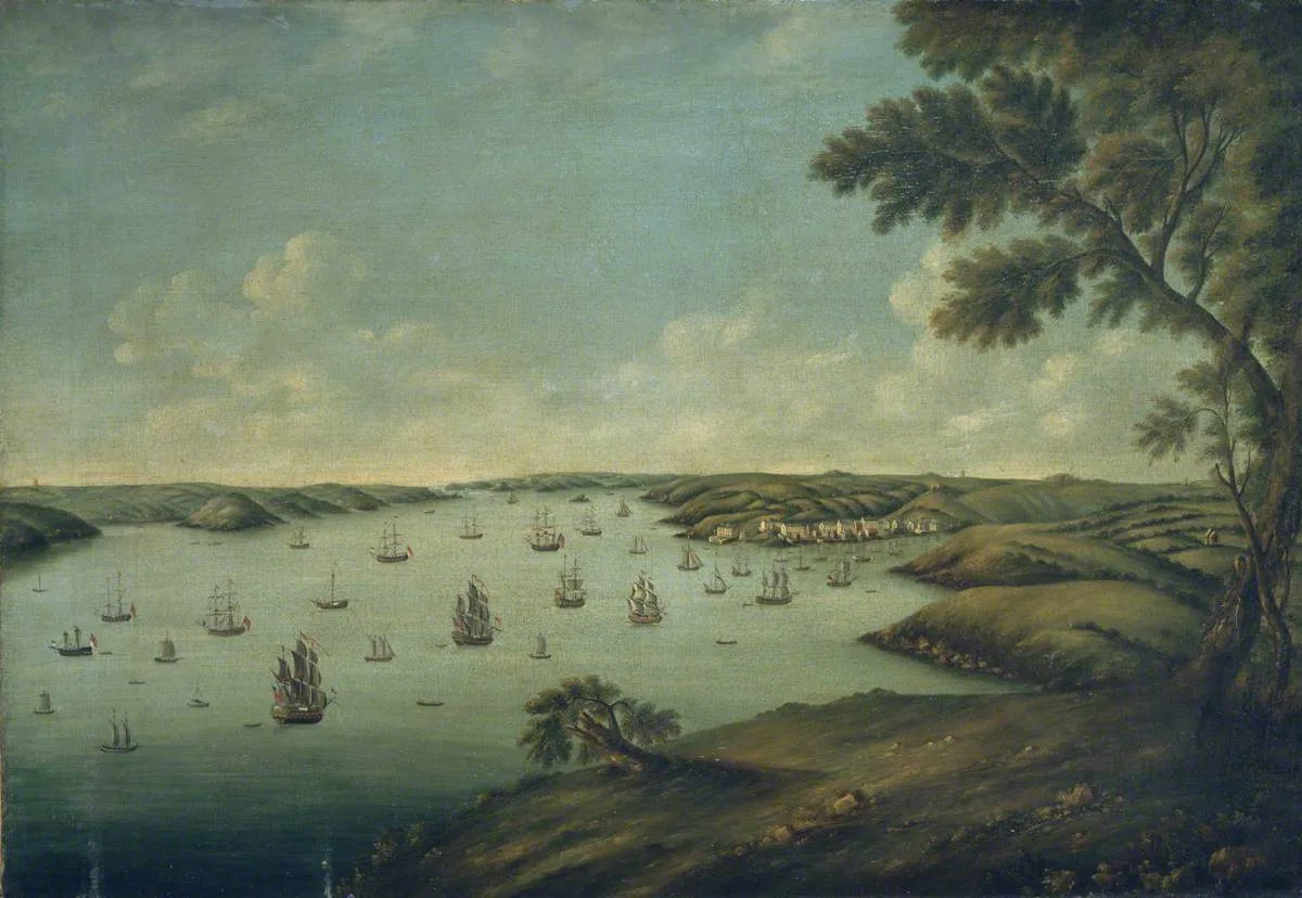 Flagship📷 3
Mountains & hills · South Wales
Milford Haven Waterway
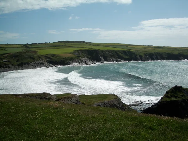
Milford Haven Waterway — ria, or flooded valley, in Pembrokeshire, south-west Wales, UK.
 📷 5
Mountains & hills · South Wales
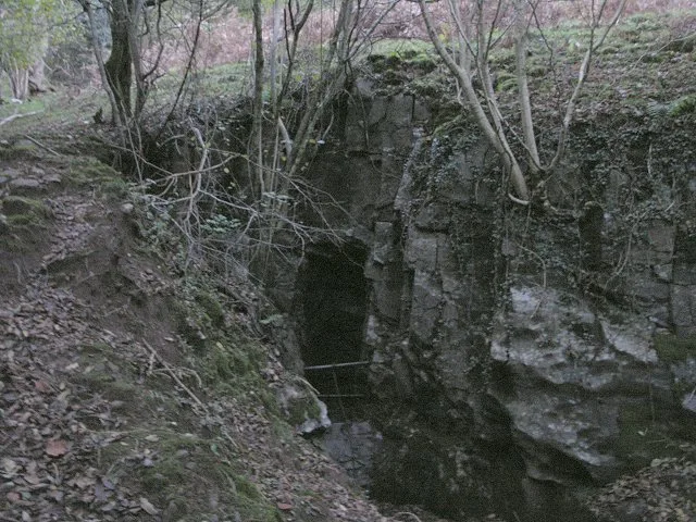
Ogof Ffynnon Ddu
Ogof Ffynnon Ddu — cave in the Upper Swansea Valley in South Wales.
 📷 3
 📷 3
Frequently asked questions
- Where is Bryn Teg?
- Bryn Teg is in South Wales, United Kingdom.
- What is Bryn Teg?
- Bryn Teg — mountain in wales south. Elevation: 620 m.
- How do I get to Bryn Teg?
- The nearest railway station is Torpantau, about 5.9 km away. Its coordinates are 51.8893°, -3.4126°.
- How do I get to Bryn Teg?
- The nearest railway station is Torpantau, about 5.9 km away.