
National parks · South Wales
Bannau Brycheiniog (Brecon Beacons)
Bannau Brycheiniog (Brecon Beacons) is a National park in Wales.

Photo by Keith Lawson 11 (Wikimedia Commons, CC BY-SA 4.0) licence
Plan your visit
- Typical visit
- 4 h–8 h
- Best time of year
- Spring – autumn (Apr–Oct)
- Nearest railway station
- Torpantau · 5.0 km
- Free entry
- Family-friendly
- Dog-friendly
Getting there & planning your visit
To visit Bannau Brycheiniog (Brecon Beacons), the nearest railway station is Torpantau, located 5 km away. Entry to the national park is free.
About
Bannau Brycheiniog (Brecon Beacons) is a national park in the United Kingdom. It covers approximately 1344 km². Designated in 1957. According to Wikipedia: "Brecon Beacons National Park, officially Bannau Brycheiniog National Park, is a national park in Wales.". It is one of fifteen designated national parks across England, Scotland, and Wales, protected for its landscape and recreation value.
Photo gallery
Summary from the official site
Bannau Brycheiniog, also known as Brecon Beacons, is a national park in Wales known for its stunning landscapes, including mountains, waterfalls, and diverse wildlife. Visitors can enjoy various outdoor activities such as hiking, cycling, and exploring the natural beauty of the area.
Read more on the official property page.
From the Wikipedia article
Brecon Beacons National Park, officially Bannau Brycheiniog National Park (), is a national park in Wales. It is named after the Brecon Beacons, or Bannau Brycheiniog in Welsh, the mountain range at its centre. The national park includes the highest mountain in South Wales, Pen y Fan, which has an elevation of 886 metres (2,907 ft). The national park has a total area of 1,344 square kilometres (519 sq mi). The Brecon Beacons and Fforest Fawr uplands form the central section of the park. To the east are the Black Mountains, which extend beyond the national park boundary into England, and to the west is the similarly named but distinct Black Mountain range. These ranges share much of the same basic geology, the southerly dip of the rock strata leading to north-facing escarpments. The highest peak of the Black Mountains is Waun Fach (811 metres; 2,661 ft), and Fan Brycheiniog (802.5 metres; 2,633 ft) is the highest of the Black Mountain. The park was founded in 1957 and is the third and most recently designated national park in Wales, after Snowdonia (Eryri) and the Pembrokeshire Coast. It is visited by approximately 4.4 million people each year.
Excerpt from Wikipedia under CC BY-SA 4.0. See the source article linked in Sources below.
Background
History
The area was inhabited during the Neolithic and the succeeding Bronze Age, the most obvious legacy of the latter being the numerous burial cairns which adorn the hills of the centre and west of the National Park. There are remnants of round barrows on Fan Brycheiniog, Pen y Fan and Corn Du. The former was excavated in 2002–4 and the ashes in the central cist dated to about 2000 BCE using radiocarbon dating. A wreath of meadowsweet was probably placed in the burial. Over twenty hillforts were established in the area during the Iron Age. The largest, and indeed the largest in South Wales, were the pair of forts atop y Garn Goch near Bethlehem, Carmarthenshire – y Gaer Fawr and y Gaer Fach –…
Sourced from Wikipedia under CC BY-SA 4.0.
- Coordinates
- 51.8833, -3.4000
- Established
- 1957
- Nearest railway station
- Torpantau — 5 km
- Official site
- bannau.cymru
Sources
- wikidata: Q15052206 (CC0)
- wikipedia: Brecon Beacons National Park (CC BY-SA 4.0)
- commons: Misty Morning in the Brecon Beacons National Park.jpg (CC BY-SA 4.0)

Featured in these 2 guides
Other places nearby
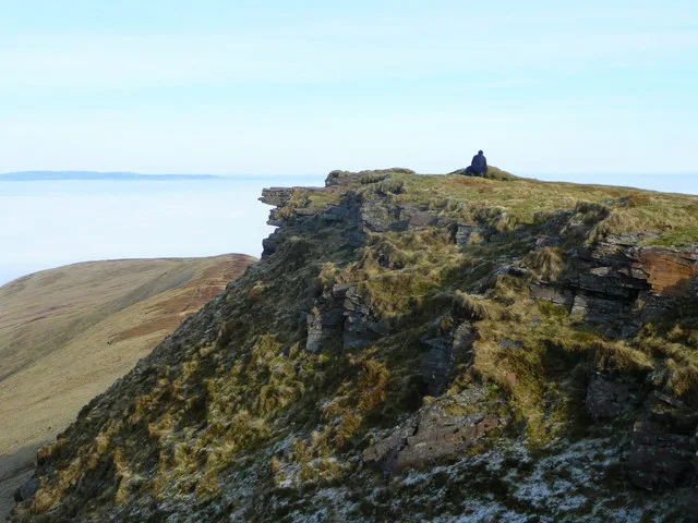
Fan y Big
Mountains & hills · 0.8 km

Bryn Teg
Mountains & hills · 1.1 km
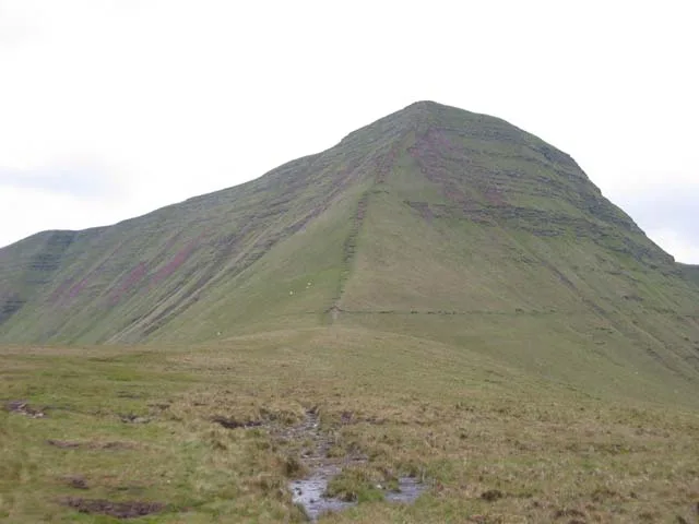
Cribyn
Natural landmarks · 1.3 km
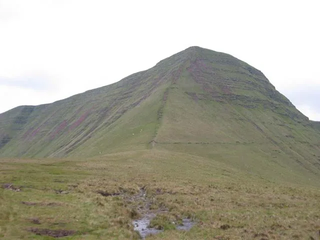
Cribyn
Mountains & hills · 1.4 km

Beacons Way
Military museums · 1.6 km

Craig Cwareli
Mountains & hills · 1.8 km

Gwaun Cerrig Llwydion
Mountains & hills · 1.9 km
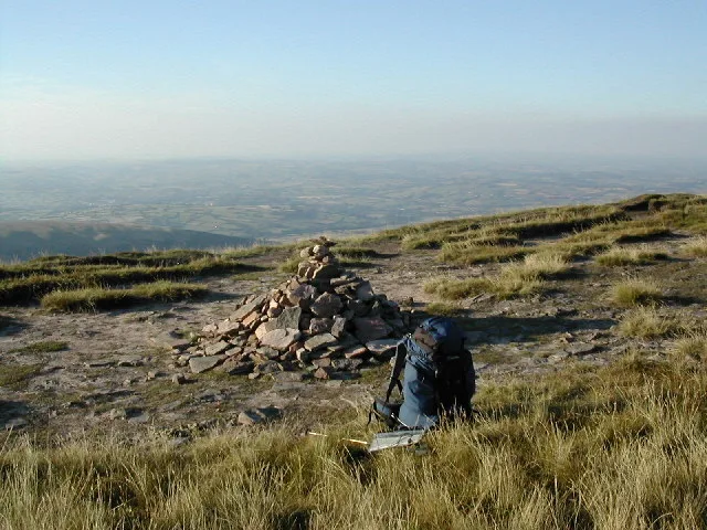
Bwlch y Ddwyallt
Mountains & hills · 2.1 km

Cefn Cyff
Mountains & hills · 2.1 km

Cefn Cwm Llwch
Mountains & hills · 2.4 km
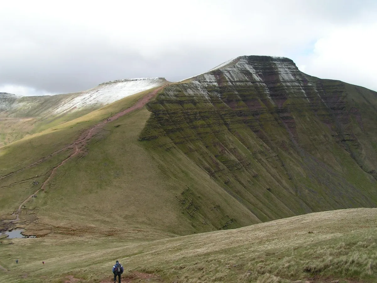
Pen y Fan
Natural landmarks · 2.5 km
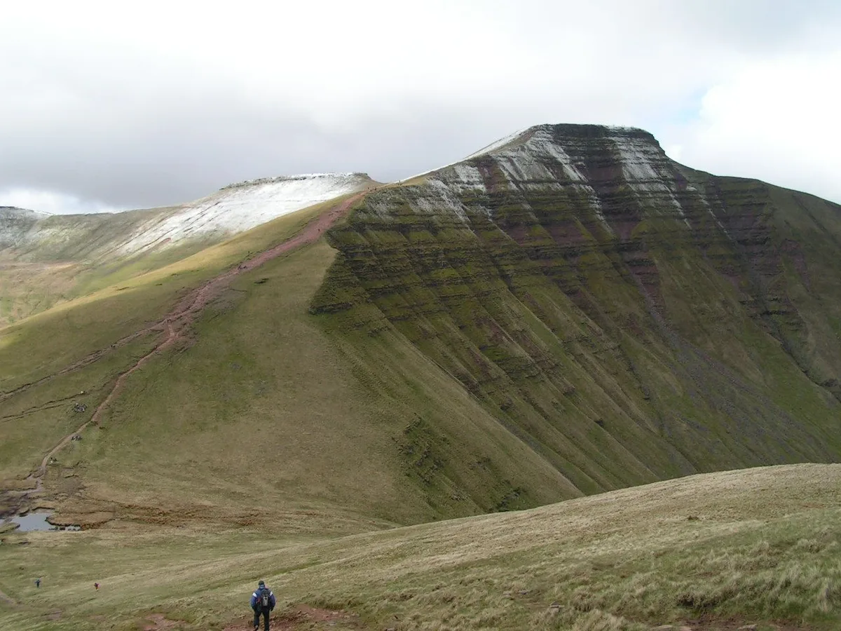
Pen y Fan
Mountains & hills · 2.5 km
Nearby
📷 3📷 5📷 5📷 5📷 5📷 5Mountains & hills · South Wales
Craig Cwareli
Craig Cwareli — mountain in wales south. Elevation: 730 m.
Where to eat & stay near Bannau Brycheiniog (Brecon Beacons)
Places to stay
 📷 5
📷 5 📷 5
📷 5Campsites · South Wales
Pentwyn Farm Camp Site
Pentwyn Farm Camp Site — a campsite in wales south.
 📷 5
📷 5 📷 5
📷 5Hostels · South Wales
YHA Llwyn-y-celyn (YHA Brecon Beacons)
YHA Llwyn-y-celyn (YHA Brecon Beacons) — a hostel in wales south.
 📷 5
📷 5Caravan parks · South Wales
Pencelli Castle
Pencelli Castle — a caravan park in wales south.
 📷 5
📷 5Campsites · South Wales
Pencelli Castle
Pencelli Castle — a campsite in wales south.
Places to eat & drink
 📷 7
📷 7 📷 5
📷 5Historic pubs · South Wales
White Hart
White Hart — Historic pub — listed building or notable heritage status.
 📷 4
📷 4 📷 5
📷 5Restaurants · South Wales
Sultan of Wales
Sultan of Wales — a restaurant in wales south.
 📷 7
📷 7More national parks in this region
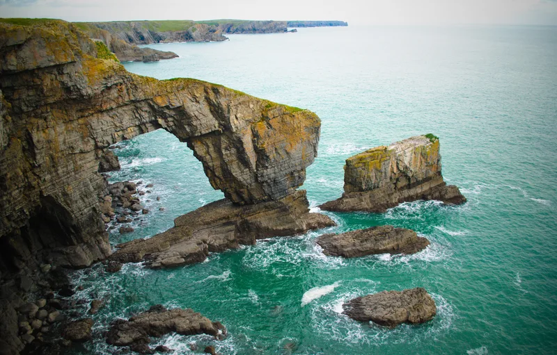 Flagship📷 3
National parks · South Wales
Pembrokeshire Coast National Park
Pembrokeshire Coast National Park is a National park in Wales.
 📷 3
📷 3 📷 4
📷 4National parks · South Wales
Bluestone, Pembrokeshire
Bluestone National Park Resort is a holiday park in Pembrokeshire, southwest Wales. The resort falls partly within the boundaries of the Pembrokeshire Coast National Park. The park is owned by several
 📷 3
📷 3National parks · South Wales
Brecon Beacons Mountain Centre
The National Park Visitor Centre, commonly known as the Brecon Beacons Mountain Centre (or shortened to the Mountain Centre, and also known as the Libanus Visitor Centre), is a visitor centre managed
Frequently asked questions
- Where is Bannau Brycheiniog (Brecon Beacons)?
- Bannau Brycheiniog (Brecon Beacons) is in South Wales, United Kingdom.
- What is Bannau Brycheiniog (Brecon Beacons)?
- Bannau Brycheiniog (Brecon Beacons) is a National park in Wales.
- How do I get to Bannau Brycheiniog (Brecon Beacons)?
- The nearest railway station is Torpantau, about 5.0 km away. Its coordinates are 51.8833°, -3.4000°.
- When was Bannau Brycheiniog (Brecon Beacons) built?
- Built or established in 1957.
- Is Bannau Brycheiniog (Brecon Beacons) free to visit?
- Yes, Bannau Brycheiniog (Brecon Beacons) is free to enter.
- How do I get to Bannau Brycheiniog (Brecon Beacons)?
- The nearest railway station is Torpantau, about 5.0 km away.